Black Mountains, Brecon Beacons National Park
Enjoy the challenging 18 km Pen Cerrig Calch walk in the Black Mountains also taking in the summits of Table Mountain (Crug Hywel) & Pen Allt Mawr
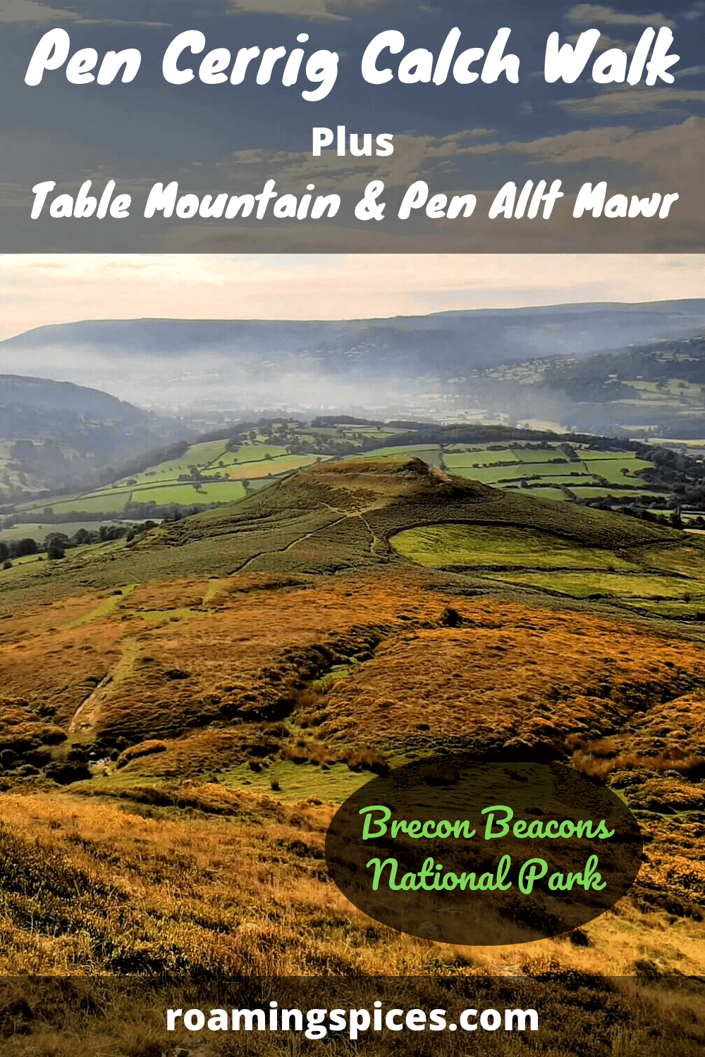
Hike to Table Mountain, Pen Cerrig Calch & Pen Allt Mawr
I have always been intrigued by the distinctive, flat-topped Table Mountain that sits proudly above the picturesque market town of Crickhowell, at the foot of the Black Mountains.

When I realised that there were two higher peaks that can also be reached as part of one fairly epic hike, a trip to Crickhowell promptly made its way towards the top of my to do list.
Where to Park?
As I undertook this hike on a Saturday morning, I opted to leave the car in the Crickhowell High School car park, which doubles as a public car park outside of school hours. What’s more, it was free! The other option is the Beaufort Street pay and display car park, accessible via Greenhill Way.
Whichever option you choose, they are both conveniently located with just short walks required to reach the start point of the trail.
Pen Cerrig Calch Walk – Step by Step
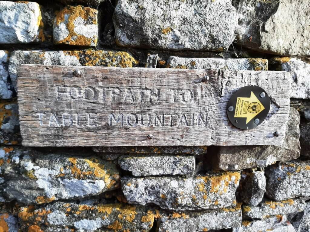
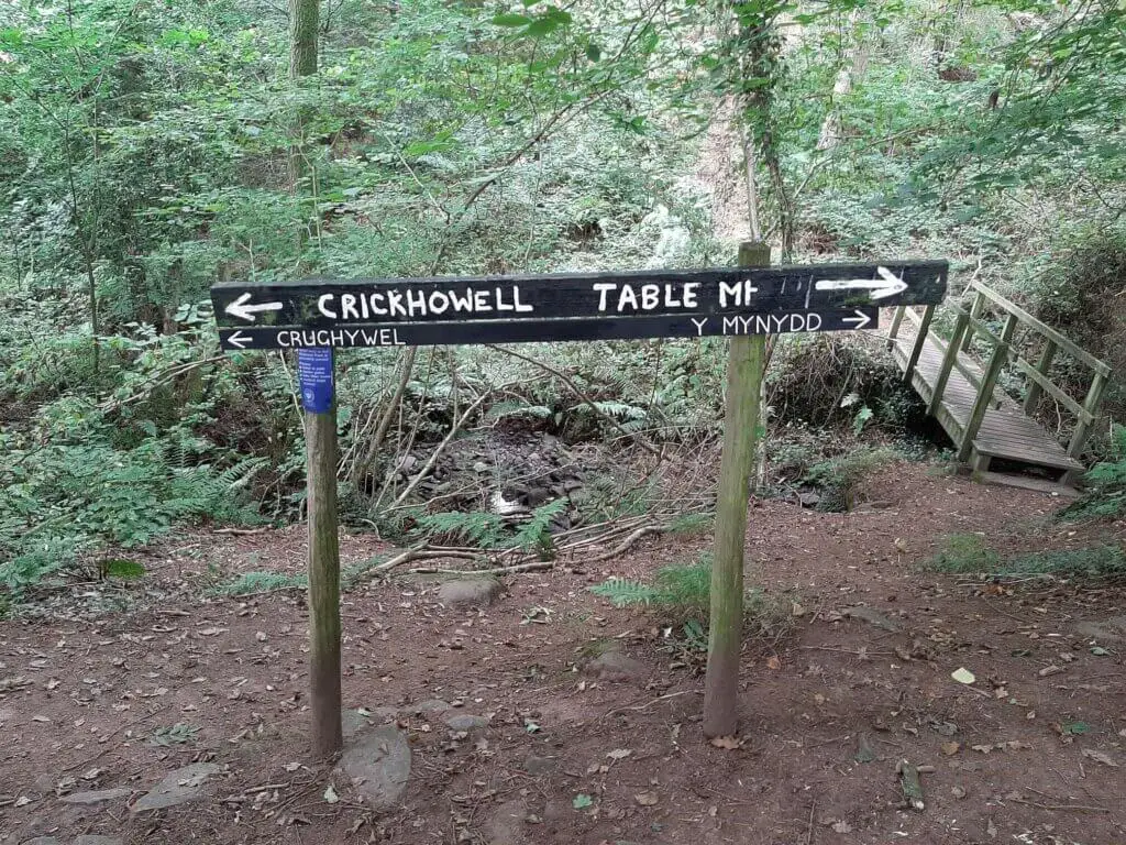
Part 1: Crickhowell to Table Mountain
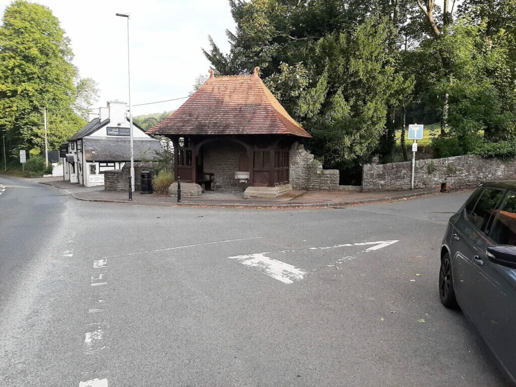
From the Crickhowell High School car park, turn left on to New Road and in approximately 100 metres turn left again on to the A40. Continue along this road for approximately 600 metres, turning right on Pregge Lane, just before reaching the Indian restaurant (Red Indigo).
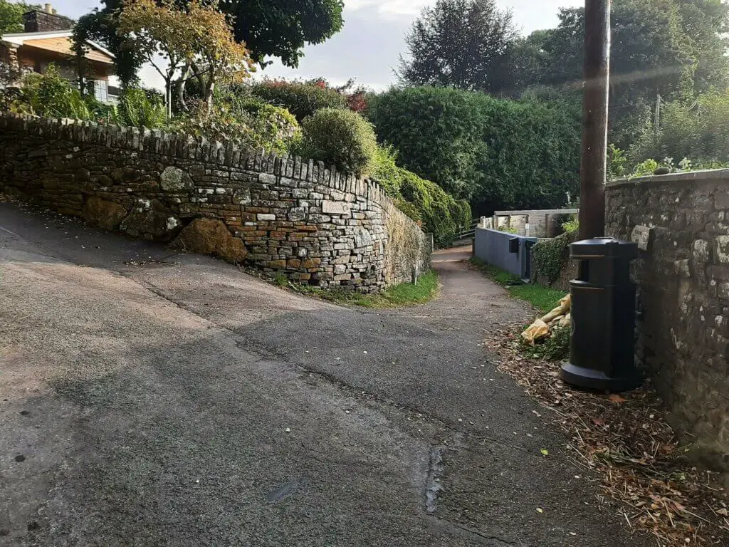
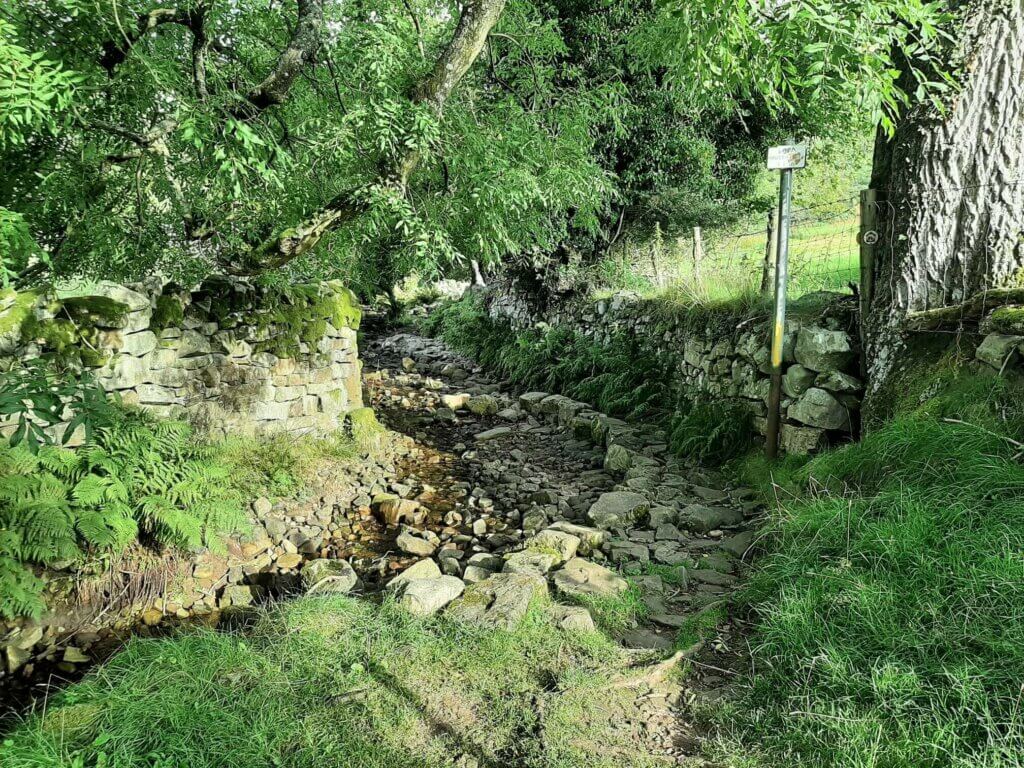
In around 200 metres, take the path off to your right and shortly after it crosses the Cwmbeth Brook (stream), take the steps to your left through the gate.
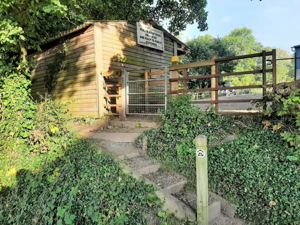
Now follow the trail up the left hand side of the field directly ahead of you.
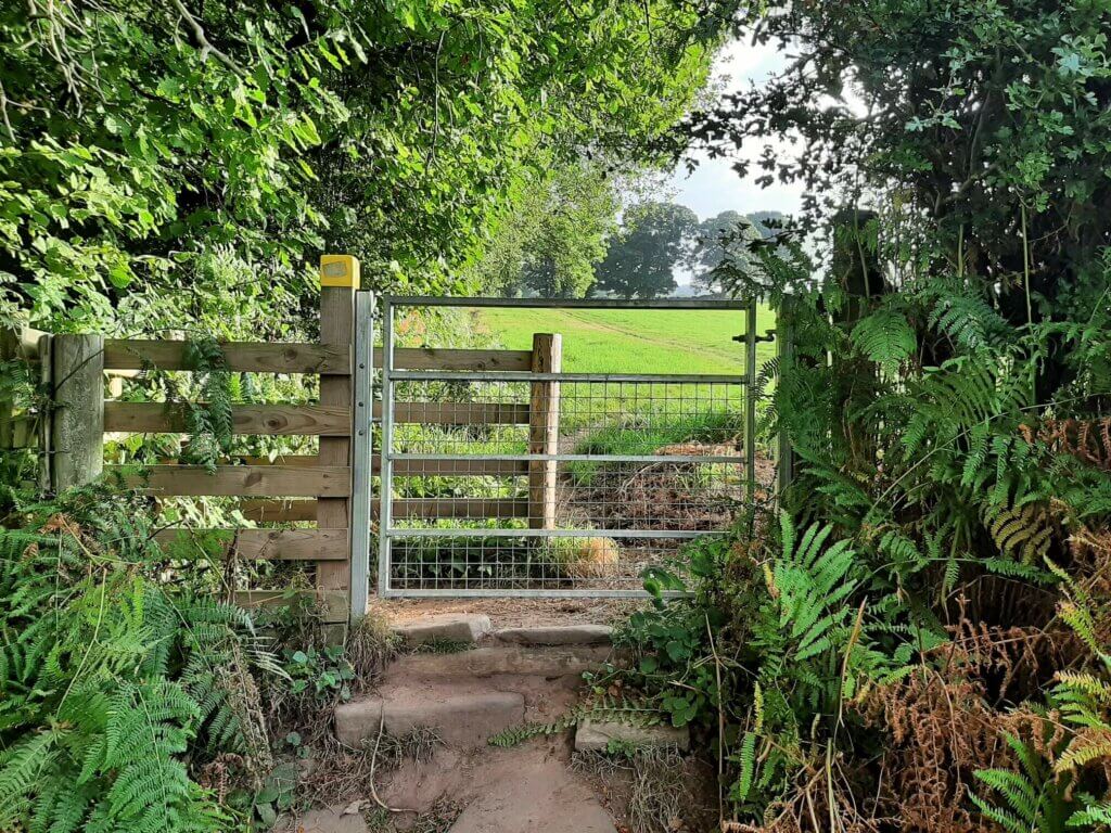
After reaching the top of the first field, pass through the gate and continue to follow the line of the hedge to the end of the second field and through another gate.
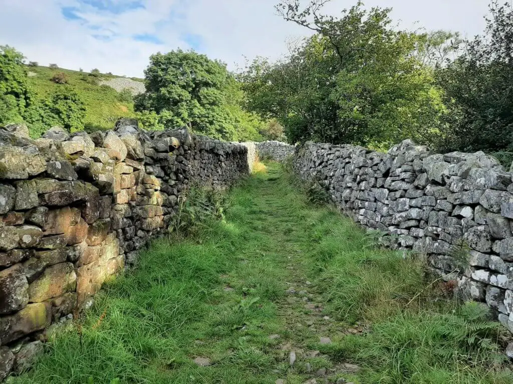
The trail now runs between two hedges, before soon reaching yet another gate.
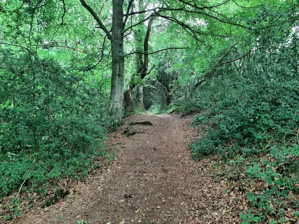
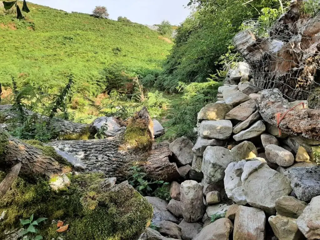
You now enter a charming wooded valley, the trail ascending gradually as you progress with the Cwmbeth Brook off to your left.
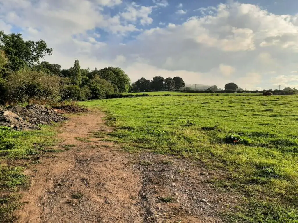
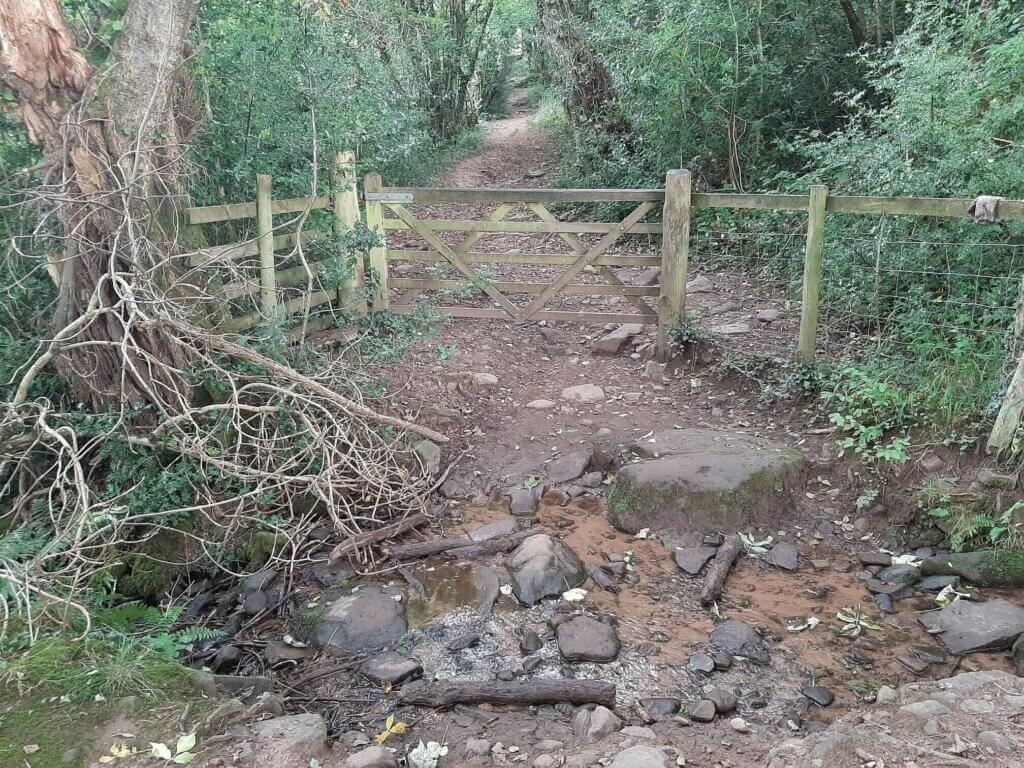
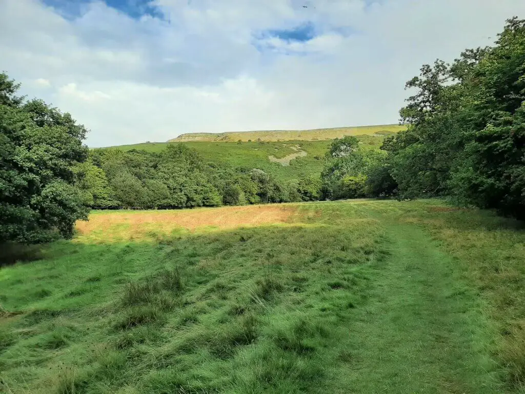
You will eventually emerge from the woodland and upon reaching – yes you guessed it – another gate, cross the Brook and continue north through a pleasant meadow.
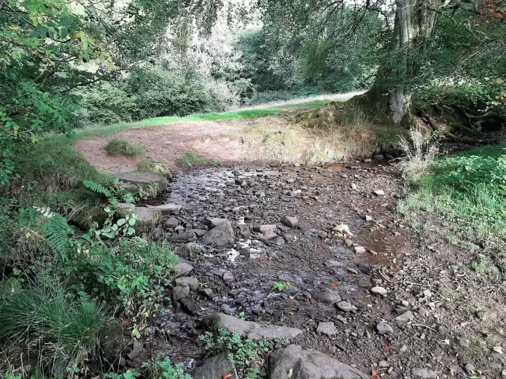
Upon reaching the top of the meadow, the trail actually runs along the river bed flanked on either side by traditional stone walls.
Keeping your feet dry, however, should not be too difficult unless of course you are hiking in particularly wet conditions, leading to greater river flow.
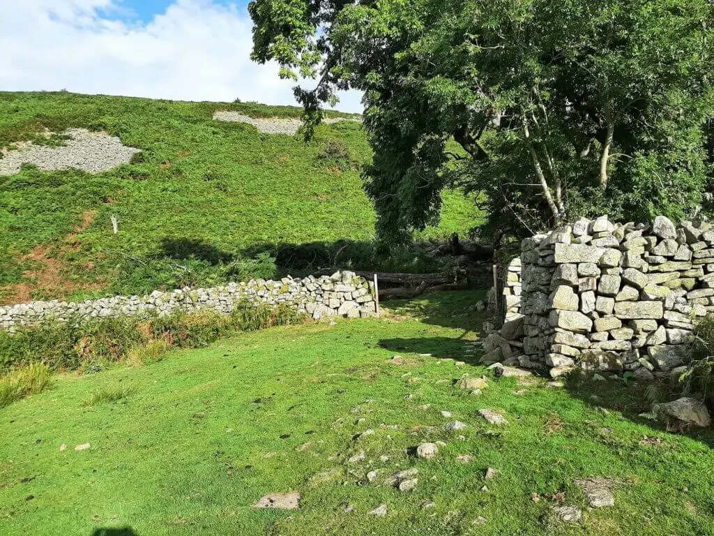
The path soon bears left away from the stream and enters a stone sheep pen via another gate. Head to the right and leave the sheep pen via the opening in the direction of the upslope.
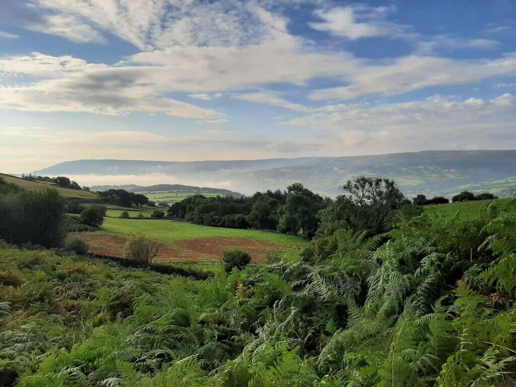
Table Mountain Crickhowell now comes into sight!
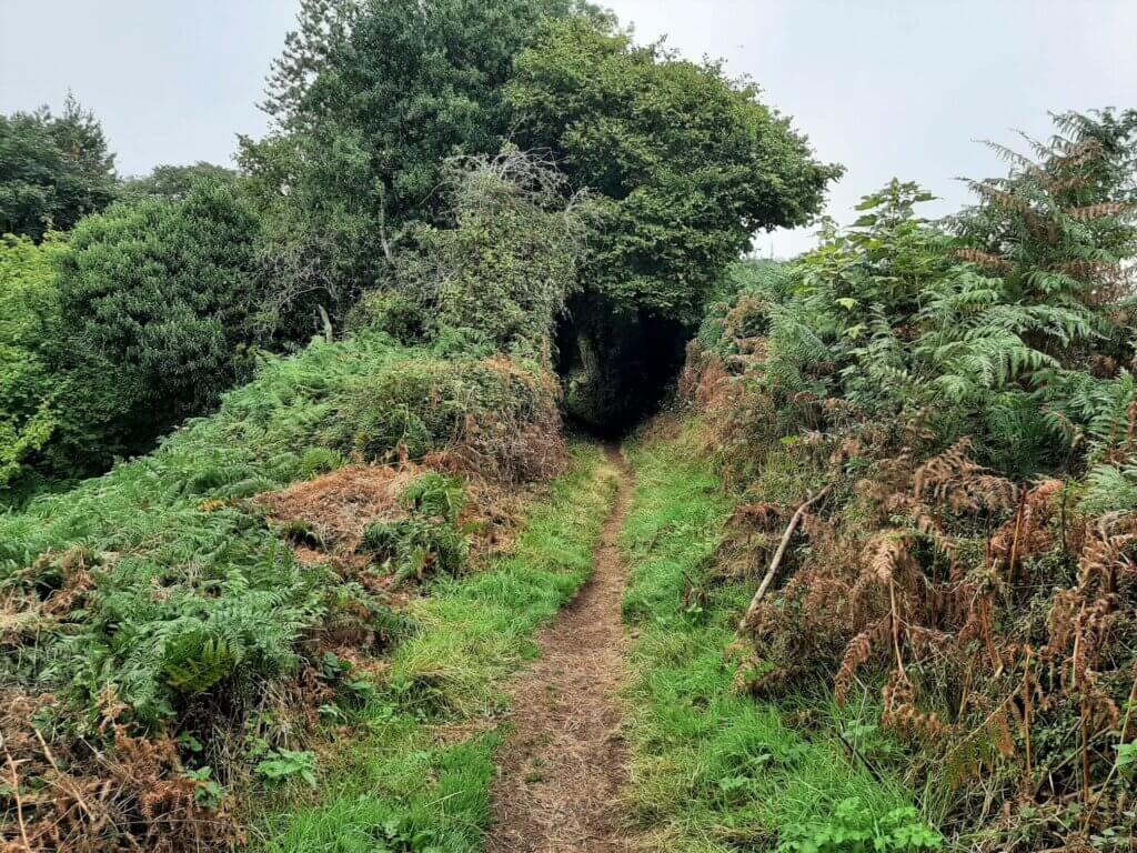
The trail now sweeps to the east, following the wall to your right as it meanders its way through the blanket of ferns that cover the mountainside.

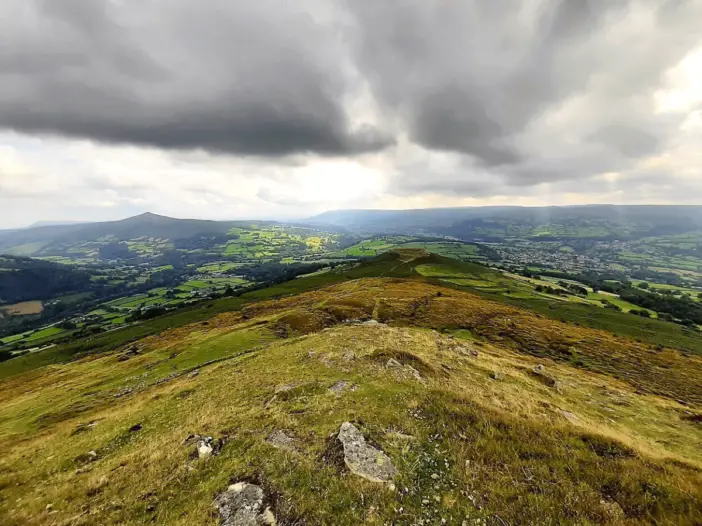
It is now simply a case of following this obvious trail to the top of the ridge before making one final short climb to the summit of Table Mountain, sitting at 451 metres.
Did you know? Table Mountain’s entire summit was once the location of an Iron Age Hill Fort. Evidence of this is clearly visible to this day!
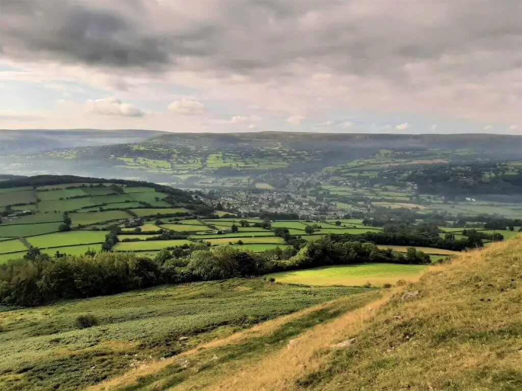
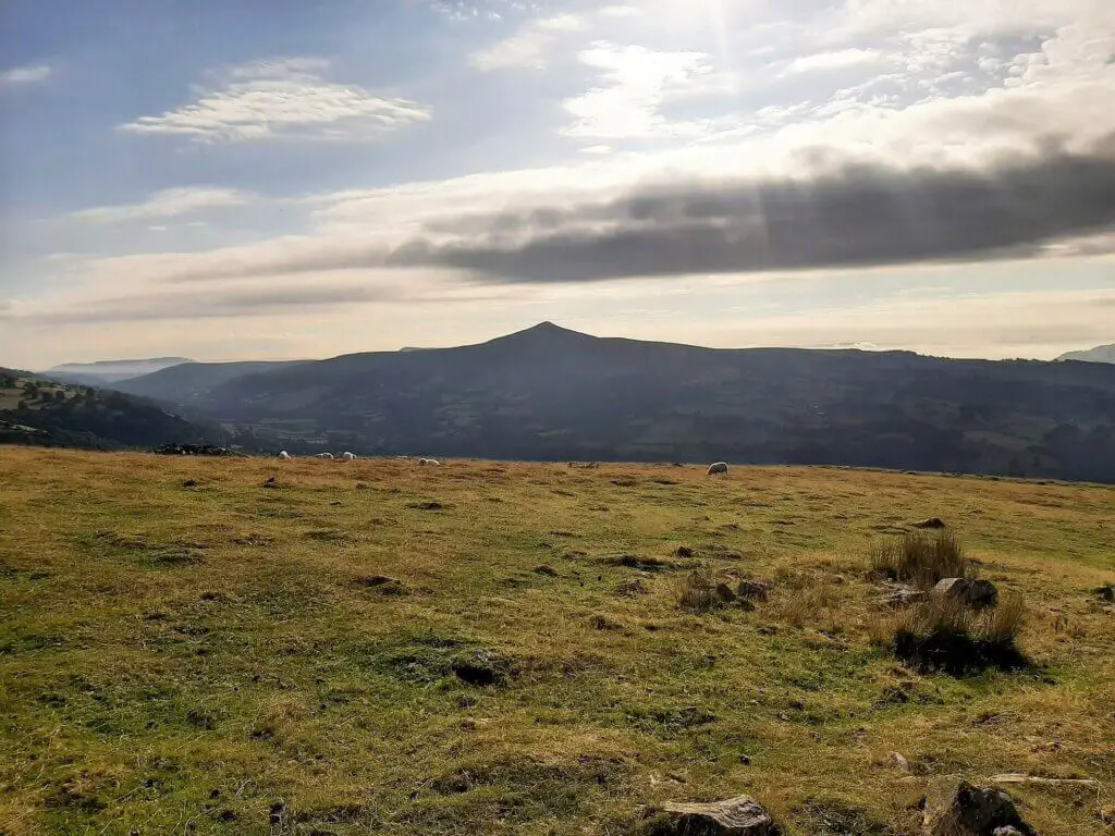
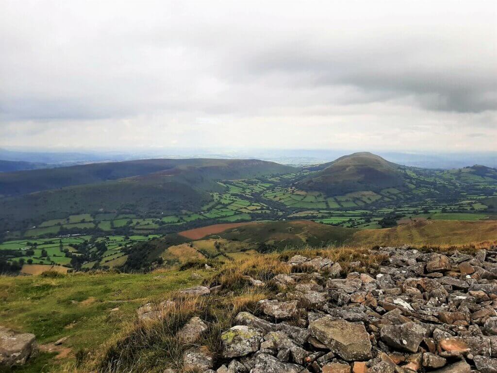
Walk the perimeter of Table Mountain summit absorbing the wonderful views in all directions, including Crickhowell to the south and the unmistakable Sugarloaf Mountain to the south east.
Part 2: Pen Cerrig Calch Walk
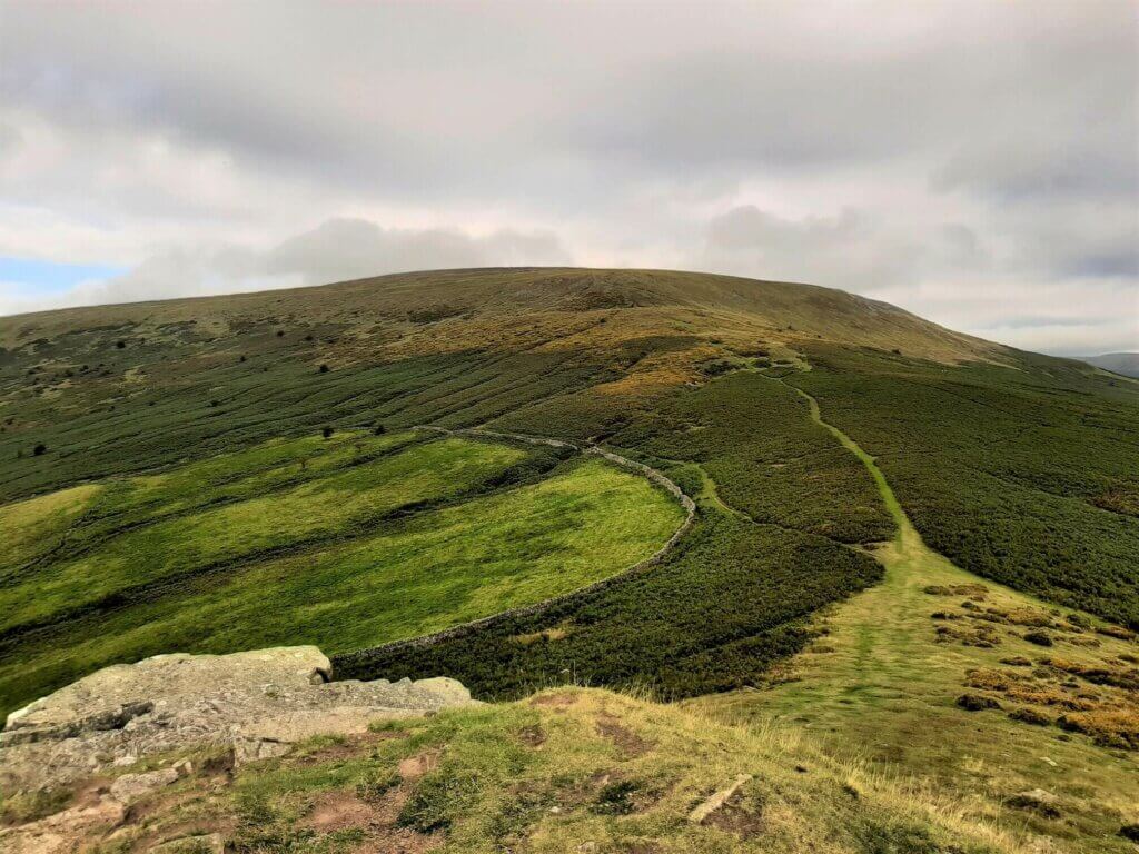
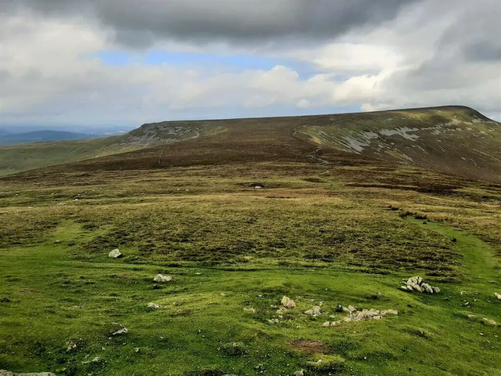
Drop down from the summit in the direction from which you arrived. But this time, follow the obvious trail through the ferns, in the direction of the broad plateau that lies to the north.

The route ascends gradually at first, becoming steeper as you climb to the top of the ridge. Once the steepish climb is complete, the trail flattens out somewhat and becomes sedate once more.
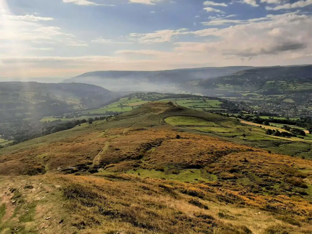
At this point, be sure to turn and appreciate the wondrous view back down to the summit of Table Mountain and beyond!
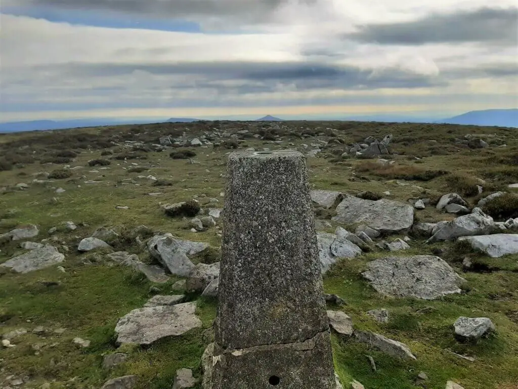
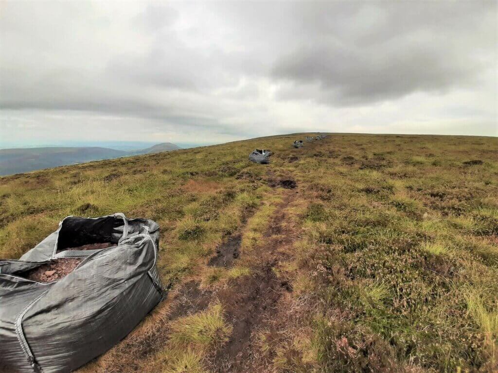
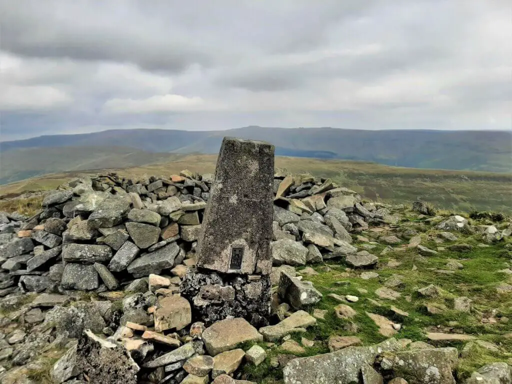
Continue up the centre of the grassy, broad summit plateau and before long you will reach a rocky path that will lead you directly to the trig point at the 701 metre peak of Pen Cerrig Calch.
Part 3: Pen Allt Mawr
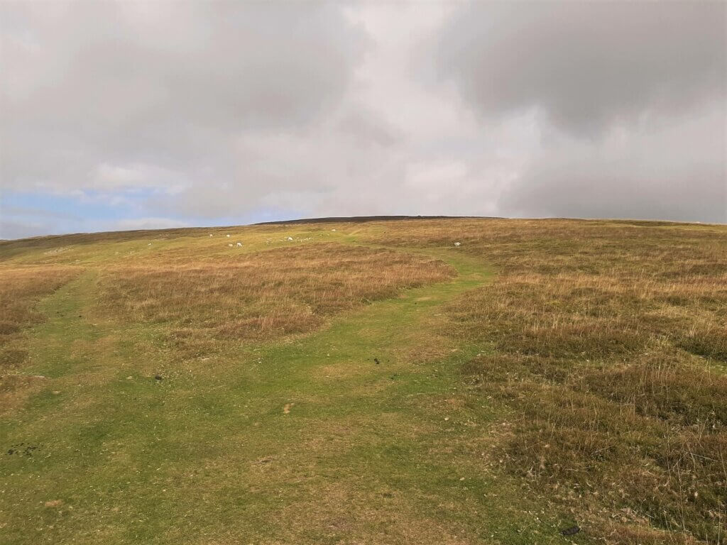
From the trig point, continue along the path in a northwesterly direction until you begin to drop down from the summit plateau.
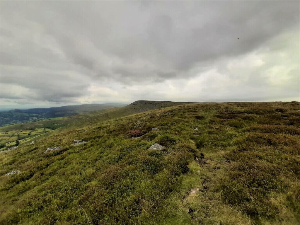
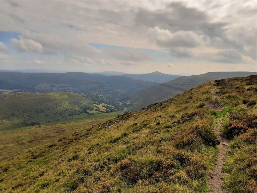
At this point, follow the indistinct path towards and then along the left hand ridge of this broad and flat section of the walk. You will now get to enjoy sweeping south-westerly views towards the Usk Valley.
As the trail reaches its most westerly point, it cuts back towards the north, now following the westerly ridge of the plateau.
In approximately 1.3 km, you will arrive at the trig point marking the 719 metre summit of Pen Allt Mawr.
From here, you have some wonderful views to absorb; To the north, is the distinctive flat topped summit of Waun Fach, the highest peak in the Black Mountains.
To the north west, lies the broad summit plateau of Mynydd Llangorse with the narrow, hump-backed Mynydd Troed slightly further to the north east.
As Pen Allt Mawr is about the furthest point from the beginning of the walk, this is an ideal spot to have a decent break and recharge your batteries, while soaking in the wide-ranging vistas.
Part 4: Homeward Bound
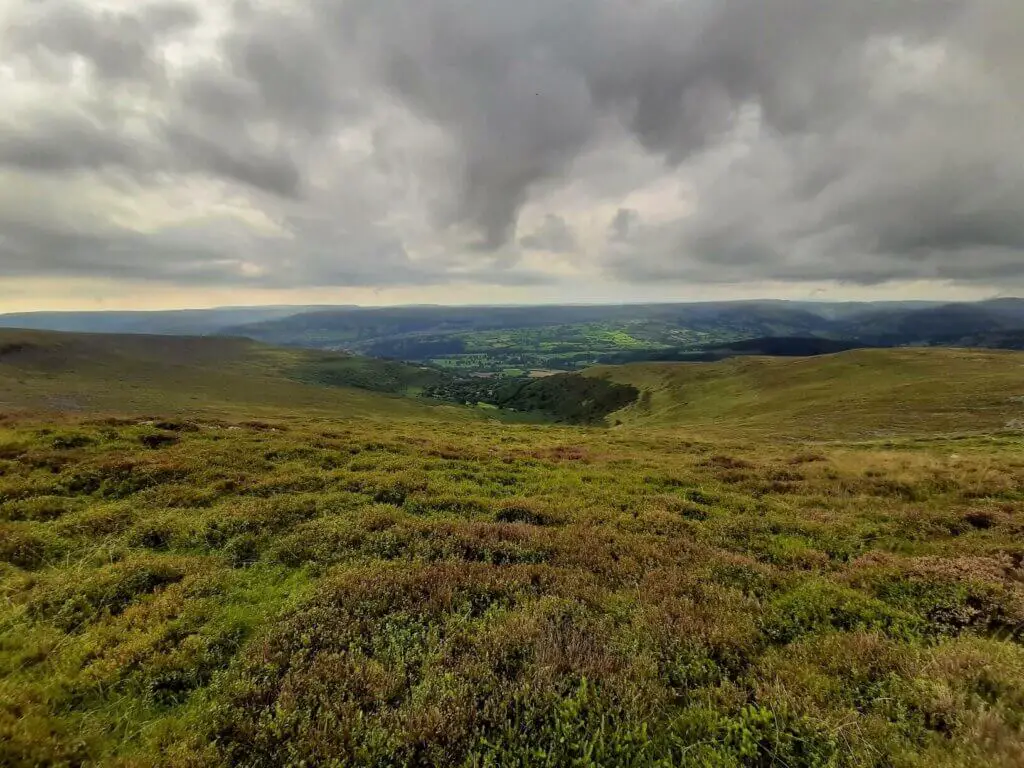
From Pen Allt Mawr, take the path south, hugging the easterly ridge, giving you superb views towards the Grwyne Fechan valley.
Eventually, the path veers away from the edge of the ridge and rejoins the trail leading you back in the direction of the summit of Pen Cerrig Calch.
It is now just a case of retracing your steps back to the start point of the walk in Crickhowell.
Pen Cerrig Calch Walk – Our Thoughts
This is both a good physical challenge and a sightseeing spectacular. What’s more, you get to tick off three Black Mountains peaks during this challenging hike.
This is definitely a route that can be abbreviated if you are not up to the full three peaks. Many walkers simply enjoy the return route to Table Mountain from Crickhowell which comes in at approximately 5.72 miles (9.2 km).
This in itself is moderately challenging and offers some incredible views from Table Mountain. If you fancy something a little more substantial, just add on the extra summit of Pen Cerrig Calch, increasing the walk length to 8.33 miles (13.4 km).
In any event, whether you undertake the full hike described here or opt for one of the shorter versions, I have no doubt that you will thoroughly enjoy your selection.
Pen Cerrig Calch Walk (Plus Table Mountain & Pen Allt Mawr) – Q & As
How long does the walk take?
It took me 6 hours but this did include one long break of approximately one hour.
How far is the walk?
18.1 km (11.25 miles)
How difficult is the walk?
Although there is a good climb involved from Crickhowell to the peak of Pen Cerrig Calch, there is also a lot of flat terrain during this hike. However, owing to the sheer length of this trail, I have labelled this a challenging hike.
What other route options are available?
If the 18.1 km route described here is too much for you, why not try the round trip to Table Mountain at just over 8 km in total. This is a great walk, offering some really pleasant contrasts and stunning views too!
If you want something a little more challenging, add in Pen Cerrig Calch, taking your total hiking distance up to around 12 km.
__________
Have you completed the Pen Cerrig Calch walk?
If you have, please share your thoughts with us. If you have any questions that have not been covered, please let us know and we will get back to you just as quickly as we can.
Like Our Article? Please Pin it!
Looks like a good way up to Table Mountain. I recently did this walk, but started further up and went up one Ridgeway and down the other – completing Waun Fach and the other mountains along the way back to the car in a nice circular walk. This was over 17 miles, but was a good walk.
I’ll be sure to look at your other routes to see if you’ve done any hills that are still on my list.