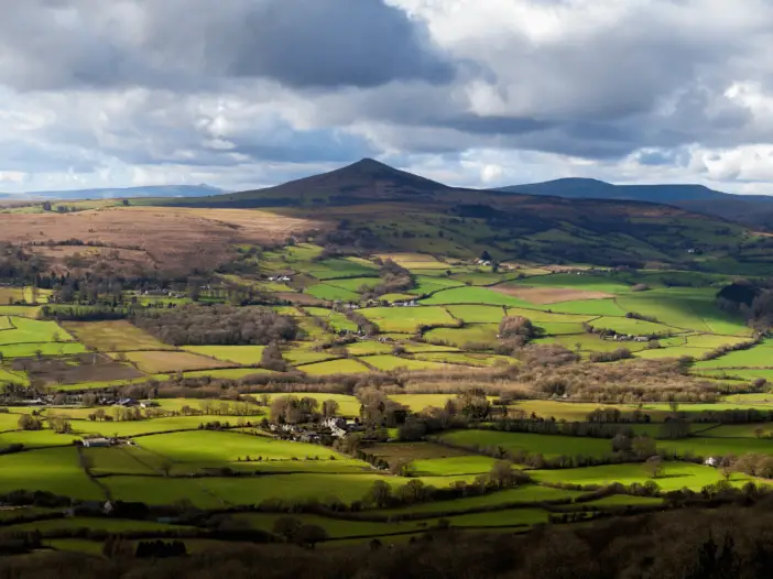
Black Mountains, Brecon Beacons National Park
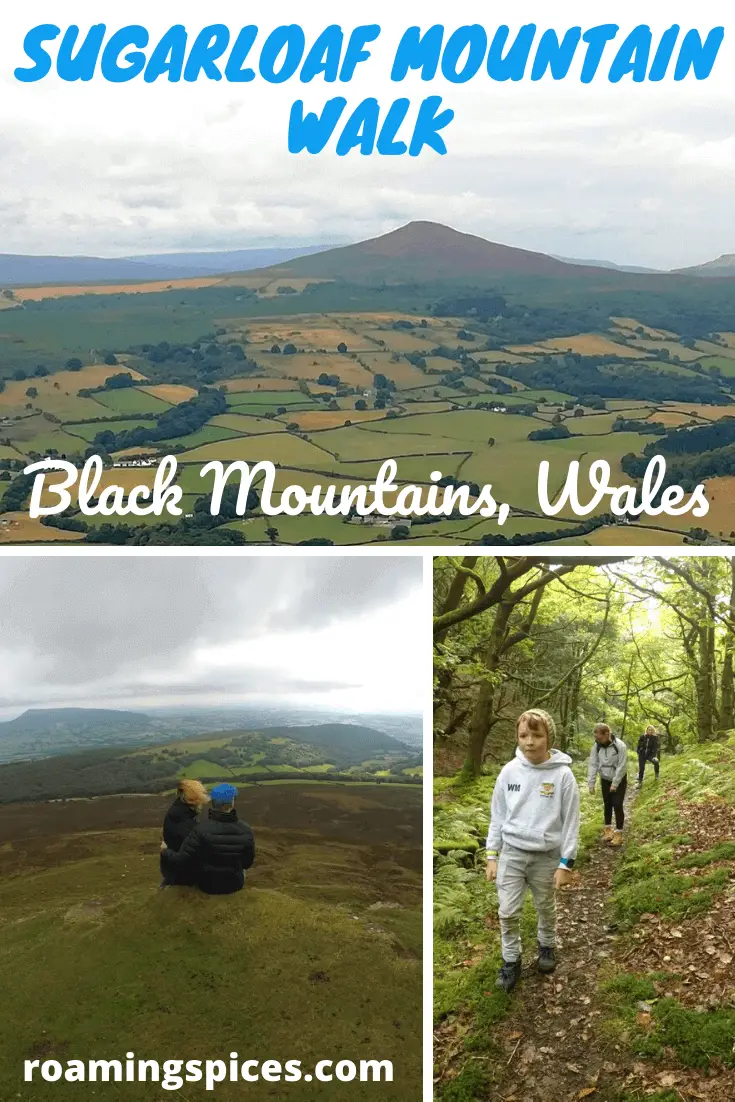
Sugarloaf Mountain Walk in the Brecon Beacons National Park is so much more than simply climbing this iconic mountain. Wander through exquisite oak woodland, steep open moorland and from the summit enjoy far-reaching, wonderful views of the surrounding countryside
Sugarloaf Walk
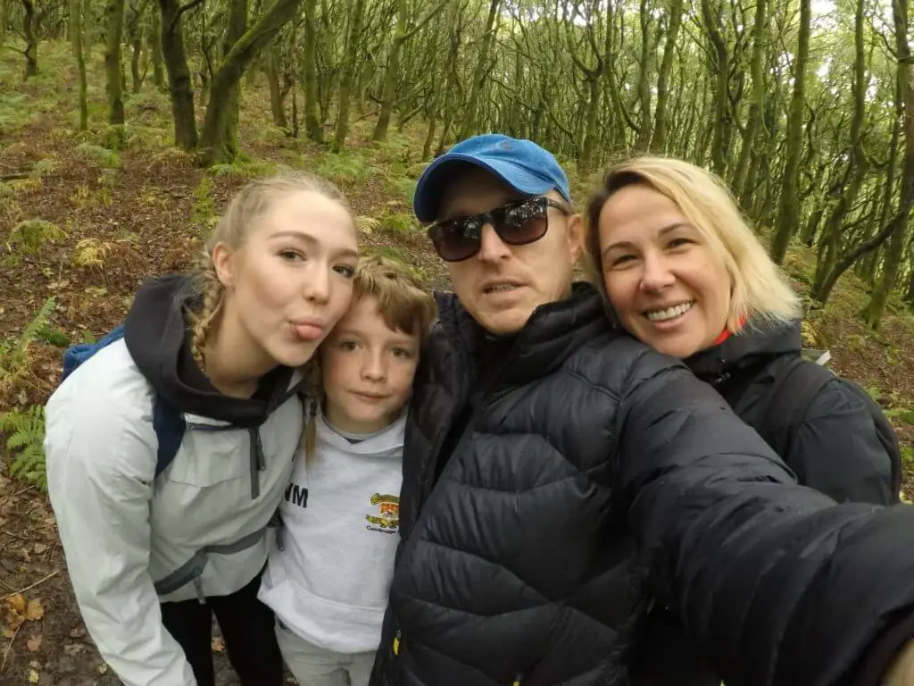
Having been asked by my Sister to look after her two kids one weekend, Didem and I decided that at least one of the two days was going to be an energy-sapping one!
Didem had checked the web for good walks in Monmouthshire a few weeks previously. We, therefore, knew that the area offered wonderful scenery. We just needed a walk that offered a little bit of a challenge as well.

We then came across a picture of Sugarloaf Mountain which immediately struck a chord with us. Sugarloaf Mountain is often mistaken for an extinct volcano owing to the striking resemblance of its conical outline.
We advised the kids (Katy & William) that we would be experiencing the Sugarloaf Mountain walk and would be starting our day’s adventure at 06:00. Being 14 and 11 years old respectively, this suggestion was met with mild groans.
The excitement of doing something more adventurous than normal definitely made this early start somewhat more bearable for them though!
Where is Sugarloaf Mountain?
Sugarloaf Mountain is located at the southern end of the Black Mountains in South Wales. It is situated 3.2 km (2 miles) northwest of the town of Abergavenny. You can see its exact location on this map.
Where to park for the Sugarloaf Mountain walk?
There are multiple starting points for those interested in the Sugarloaf Mountain walk and as such there are different parking locations. We selected the Llanwenarth Sugarloaf car park due to its ease of access from the A40.
How to Get to Sugarloaf Mountain?
Sugarloaf Mountain is located in South East Wales and is well connected by a number of main roads, notably the A40 which runs all the way from the South East of England right through to West Wales. This road passes within a few kilometres of Sugarloaf Mountain.
Just a short distance west of Abergavenny, leave the A40 heading north on Pentre Road. Then, in approximately 185 metres, turn left onto Pentre Farm Road. Continue for 400 metres and at the junction turn left. Continue along this narrow road for 1.49 miles (2.4 km), at which point you will arrive at the Sugarloaf car park.
- Grid Reference: SO268167
- Latitude , Longitude (decimal): 51.844316 , -3.0632309
- Sugarloaf car park (Llanwenarth) postcode (nearest): NP7 7LA
- What3Words
- this map
- Additional Location Details (Click on the map pointer for more information)
Climbing Sugarloaf
From the car park, there is a simple Sugarloaf walking route if you head north. At a moderate pace, you will reach the summit in approximately one hour.
However, if you want to make climbing Sugarloaf Mountain a little more challenging, may I suggest that you stick to our ascent route (perhaps not our descent route but more on that later)
Commence the Sugarloaf Mountain walk by heading back down the road you arrived on and branch off onto the grass verge on the left-hand side within 200 to 300 metres. Continue along this grass path for a few hundred metres more, until you see an oak woodland.
At this point, the path starts leading down the hill. We took one of the first opportunities to head north into the woodland, as this points you in the general direction of the Sugarloaf summit.
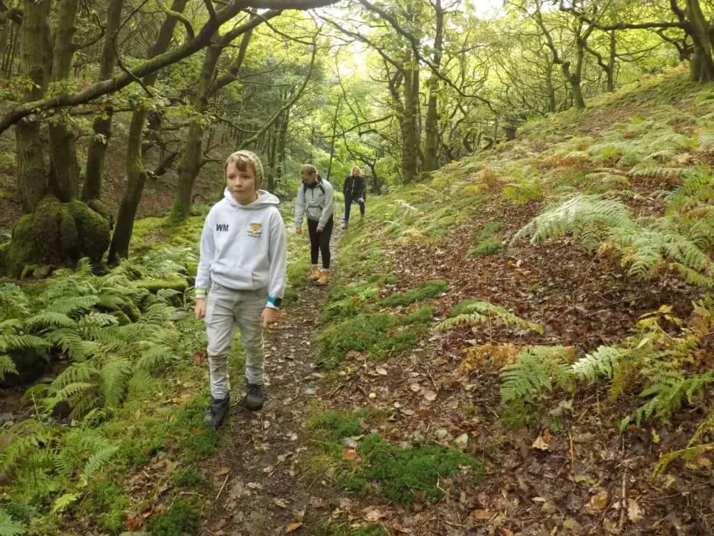
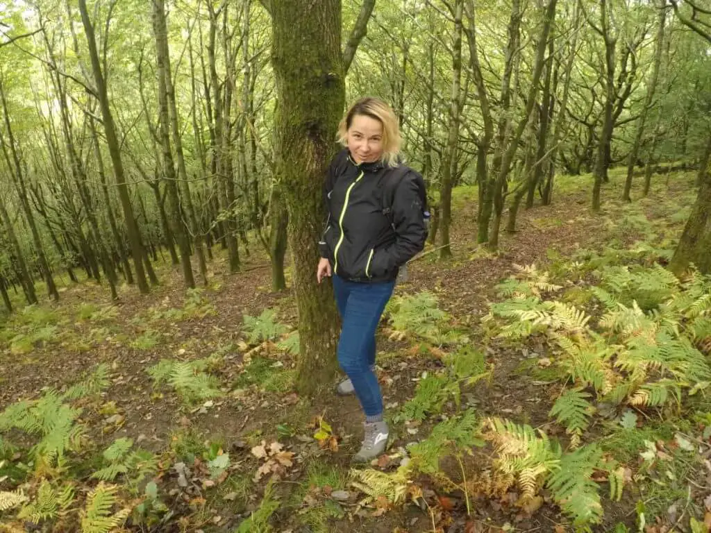
For the next 20-30 minutes, we walked through beautiful, mystical oak woodland that gave off a wonderful green glow even though the day was mainly overcast.
We could soon hear the trickling of water in the valley to the east of us, so we gradually started edging down the fairly steep valley side until we met the small stream.
The Tough Bit!
A short distance further we broke out of the woodland. At this point, we turned right and started the steep climb from the river valley up onto the ridge above. This section is the toughest part of the Sugarloaf walk.
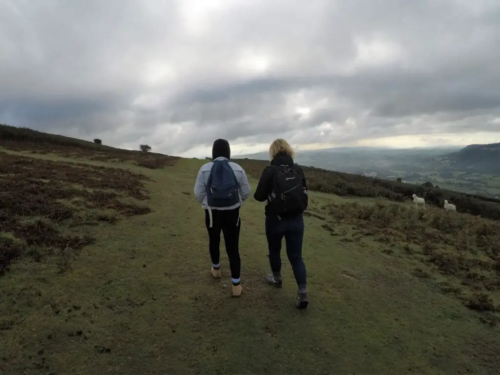
The path becomes less steep upon reaching the ridge and the summit of Sugarloaf comes into sight. For the next 20 minutes or so you walk up grassy open moorland before the final steep and at times rocky climb to the summit.
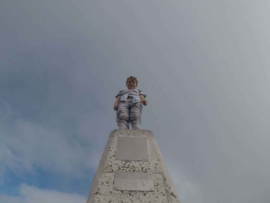
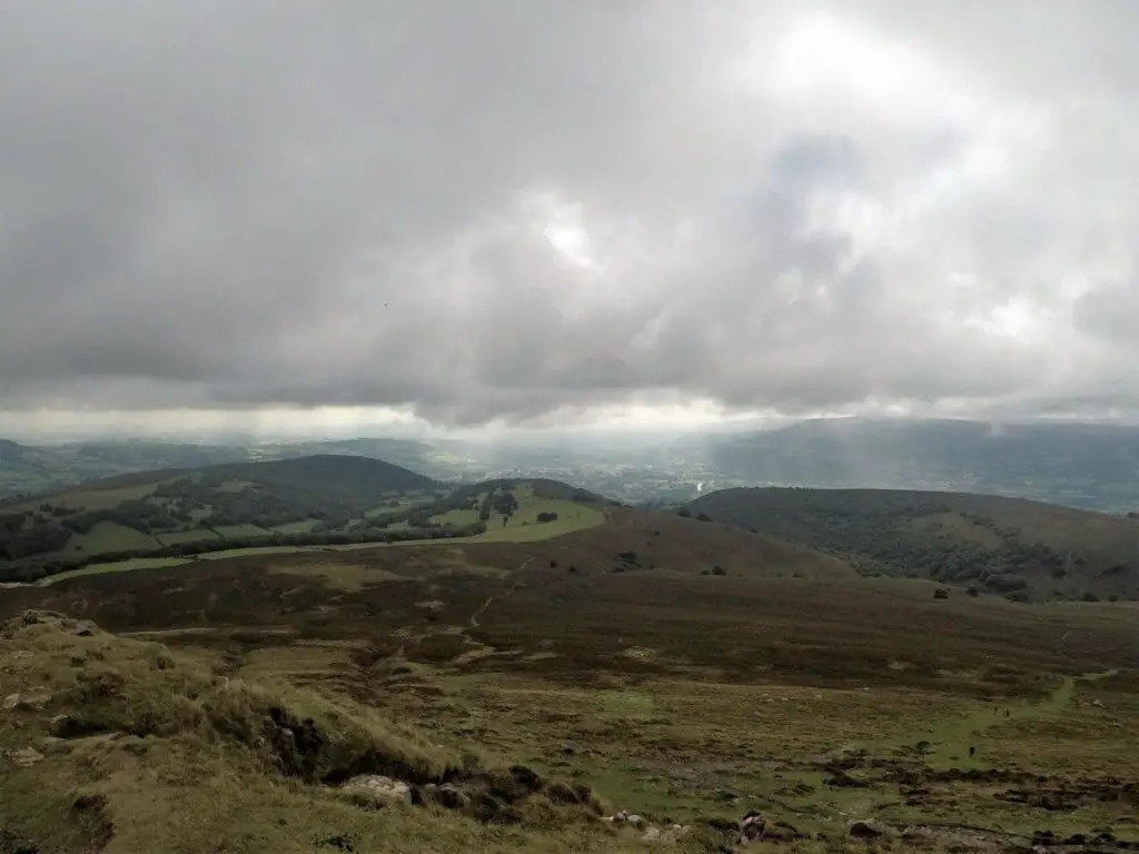
What You Can See From the Summit of Sugarloaf Mountain
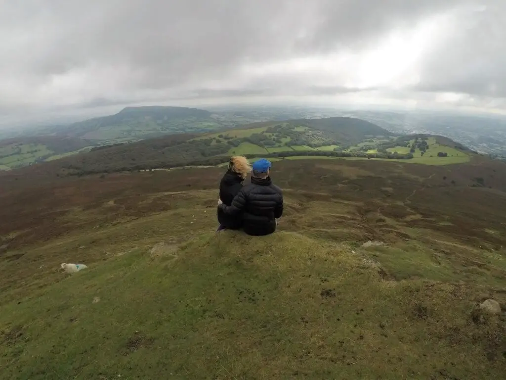
The view from the summit of Sugarloaf covers the Black Mountains to the north, the Cotswolds to the east, the Brecon Beacons to the west and the Bristol Channel to the south. On a day of heightened visibility, it is even possible to see as far north as the hills of Shropshire and as far south as Somerset.
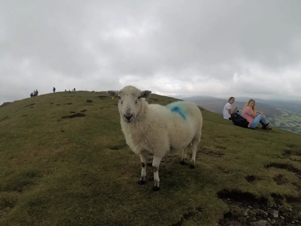
You may also see a collection of cheeky mountain sheep who will definitely show you a great deal of interest, especially if you are eating your lunch! Take snacks, you have been warned!!!
The Descent
We stood at the summit of Sugarloaf checking out the different paths leading back down the mountain. Having chosen the most easterly of the options that lay before us, we descended swiftly until the path met the easterly border of the oak woodland we had walked through earlier. Unfortunately, there was a fence that prevented us from passing down through the wood.
Even if we had been able to pass through, the steepness of this side of the valley was such that we felt it unsafe to attempt climbing down.
We continued on this path for approximately 30-40 minutes which led us further into the valley but without getting us any closer to the starting point of our walk.
At the bottom, we came to a house where a very friendly and helpful gentleman showed us exactly where we needed to go.
We then had to traverse a couple of steep farmers’ fields and climb over a couple of fences and soon enough we found ourselves back on the road that we had arrived on earlier in the day.
Following approximately 20 more minutes of walking on the road, we were back at our starting point.
“Interested in other Welsh walks? Check out our Mount Snowdon Adventure”
Sugarloaf Mountain Walk – Our Thoughts
Overall, we had a very pleasant day! Of all the walks in Monmouthshire that we could have chosen, we picked a pretty special one.
The walk through the woods was a particular highlight with the wonderful green glowing light shining through the leaves of the canopy.
“Looking for other great hikes in the area? Check out Skirrid Mountain and the Blorenge”
There was such a mystical feel in those woods that we wouldn’t have been surprised if dancing fairies appeared before us!
The views that we experienced at the summit were equally special and the beauty can be enjoyed whichever way you cast your eyes.
We can see why Sugarloaf is a popular destination for walkers of all ages. We can definitely recommend climbing Sugarloaf Mountain to anyone who is yet to experience the beauty of the Black Mountains in Monmouthshire.
What’s more, this super experience need not cost you a penny apart from the cost of fuel to get you there.
Sugarloaf Mountain Walk – Q & As
How high is Sugarloaf Mountain?
596 metres (1,955 feet)
How long does it take to Climb Sugarloaf?
Obviously, this time will vary depending on your level of fitness, the speed at which you walk and how many breaks you choose to take.
We completed the walk in 4 hours and this included a 30-minute break for lunch at the summit as well as getting lost on our return!
Climbing Sugarloaf Mountain – How difficult is it?
We would grade this walk as moderately challenging.
How far is the walk up Sugarloaf Mountain?
This circular walk is approximately 6.4 km (4 miles) in length.
Can I take my dog up Sugarloaf Mountain?
Yes, you can but your dog will need to be kept on a lead at all times.
When is the Best Time to Climb Sugarloaf?
EARLY!!! We arrived at around 09:00 on a Sunday morning in September and there were only two other vehicles in the car park. When we returned to the car, there were literally vehicles parked everywhere and traffic was queueing along the access road.
As Sugarloaf Mountain is easily accessible, we would advise you to get there early to avoid disappointment.
Like Our Article? Please Pin it!
Leave a Reply