Brecon Beacons National Park
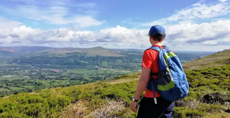
The 7 mile Blorenge walk takes you around Blorenge mountain where you are exposed to spectacular, wide-ranging views across the peaks of the Black Mountains and Brecon Beacons
Blorenge Mountain Walk
Since starting Roaming Spices in 2017, the Brecon Beacons National Park has literally become our hiking playground, being so easily accessible from our home in South Wales. When hiking these peaks it is hard not to become intrigued by the multitude of hills and mountains that surround you.
On one such hike, as I was descending Skirrid Mountain in Monmouthshire, my eyes became fixed on the rounded mountain that forms the backdrop to the town of Abergavenny in the Usk Valley. I later discovered that this was indeed Blorenge mountain and it was promptly added to our hiking “to do” list.
Where is Blorenge Mountain?
The Blorenge mountain is located in the south eastern corner of the Brecon Beacons National Park, in the Welsh county of Monmouthshire. It sits between the towns of Abergavenny to the north and Blaenavon to the south.
How to Get There?
There are two parking areas for those looking to enjoy the Blorenge walk. There is the Keeper’s Pond car park which is located just off the B4246. This is the road you will use whether you are arriving from the north or south.
You may also wish to use the Blorenge Foxhunter car park. This is accessed via the narrow road that heads east from the B4246, a short distance south of the Keeper’s Pond.
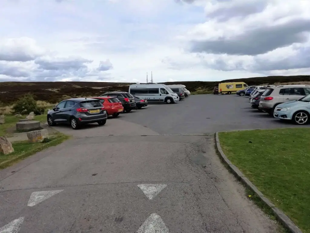
We chose the Keeper’s Pond as our starting point for the Blorenge circular walk. To help you get to the location here is the Blorenge car park postcode – NP4 9SR. Better still, simply click the ‘Directions’ link on the Google map below and allow the ingenious Google technology to guide you to the starting point for the Blorenge walk.
Blorenge Walk From Keeper’s Pond
As you exit your vehicle at the Keeper’s Pond car park, you can not help but fix your gaze on the distinctive flat top of Sugarloaf mountain that sits proudly to the north of the Usk Valley.
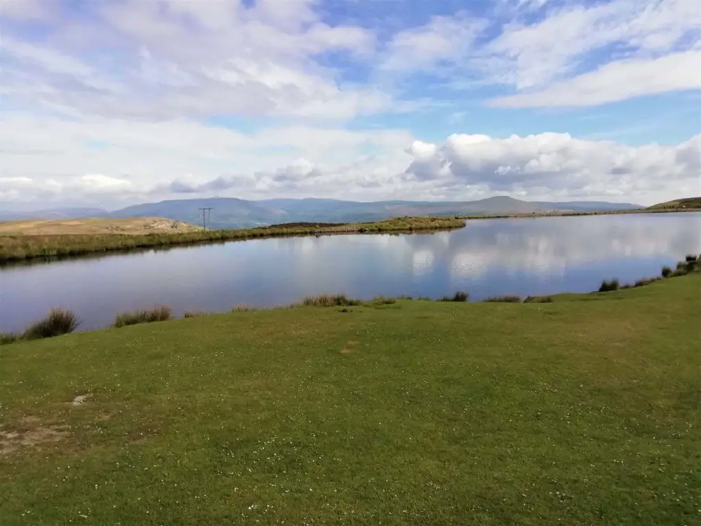
If you are fortunate enough to have selected a great weather day for the Blorenge walk, you should also catch sight of the Brecon Beacons’ highest peaks – Pen y Fan and Corn Du, out to the west.
Blorenge Walk Map
From the car park, take the path to the left of Keeper’s Pond and follow this along the northern bank of the pond until you reach an information board. Here you can read some useful facts about the valuable landscape that surrounds you.
Did you know? Blorenge mountain is designated as a Site of Special Scientific Interest (SSSI) principally for its heather moorland habitats, which include peat bogs. The mountain is also home to Britain’s most southerly population of Red Grouse.
Cross the bridge, turn right and follow the obvious path in a north-easterly direction across the heather moorland of the Blorenge mountain. The B4246 which initially runs alongside the trail soon disappears from sight as it descends into the Usk Valley below.

You are now left with only the splendid panorama of dark green patchwork valley backed by the baron peaks of Sugarloaf and its neighbouring peaks.
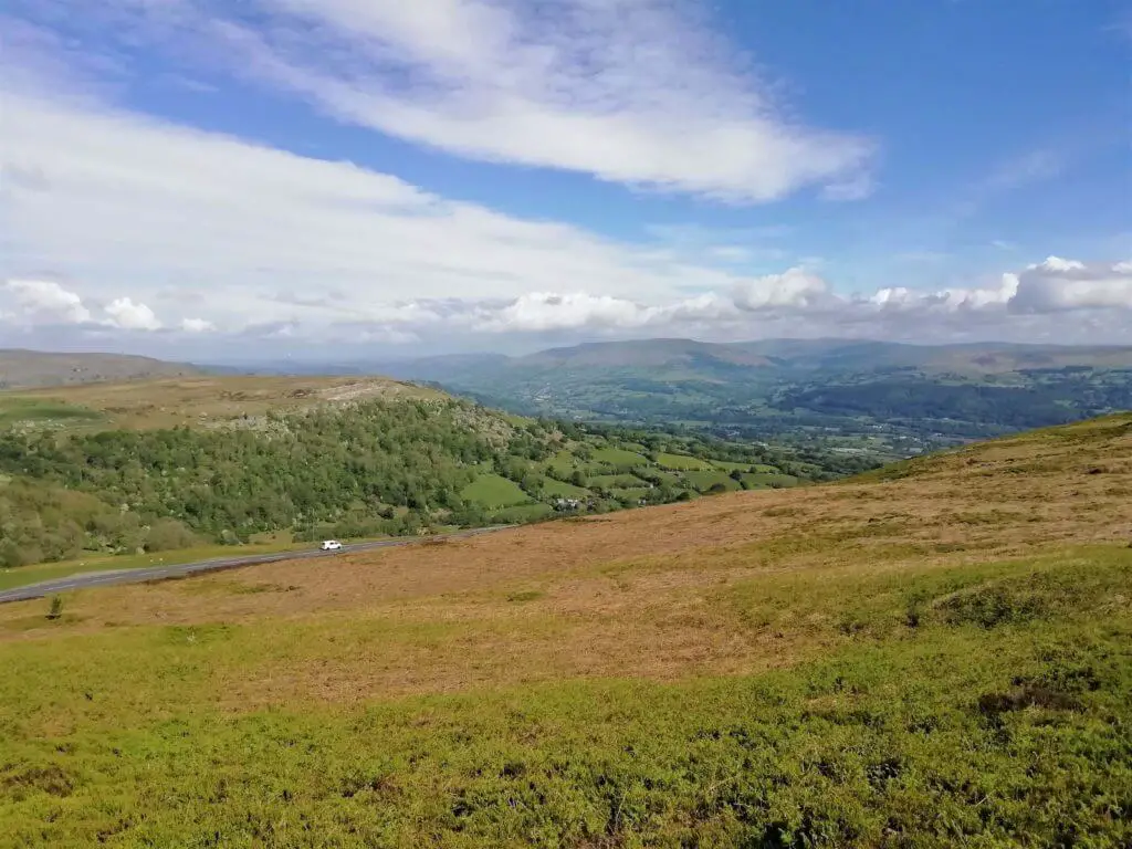
Before long, there is a fork in the path indicated by a way marker, inscribed with “Govilon and Llanfoist”. Here you head left, down a rocky path which gradually descends down the Blorenge’s northern slopes.
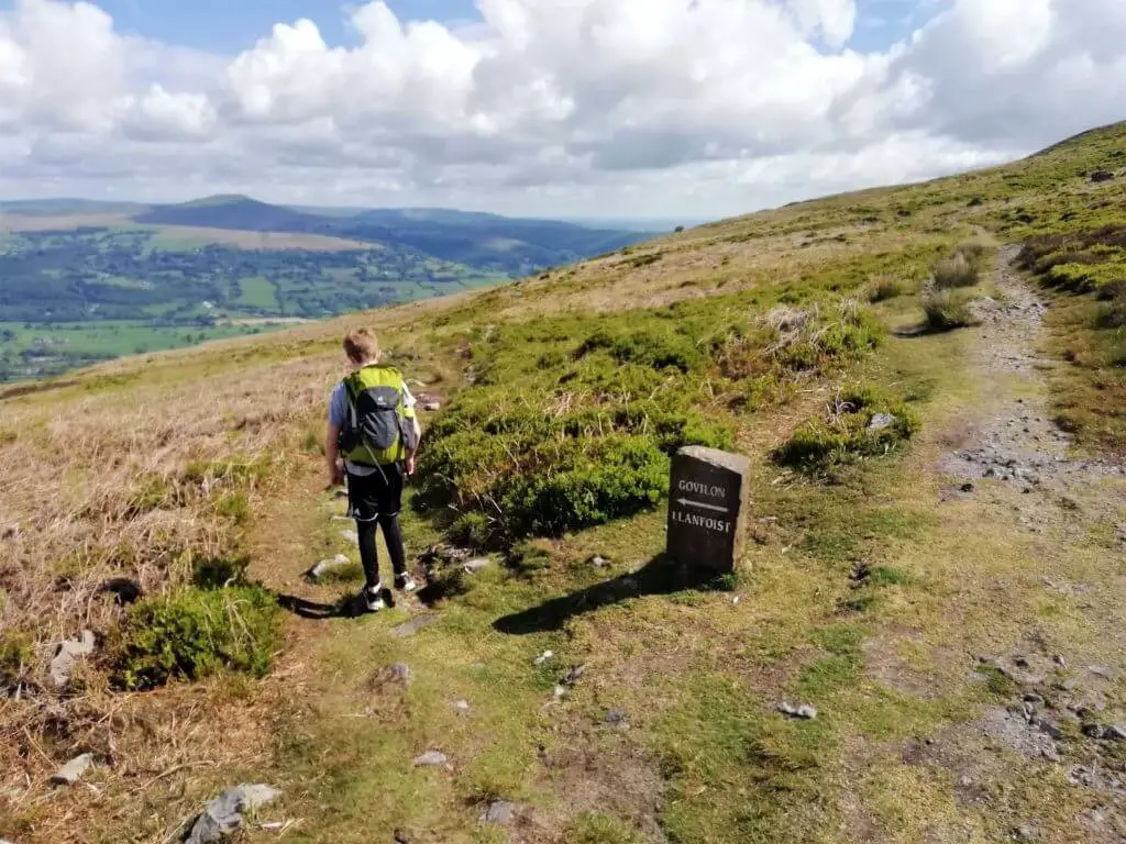
After passing between two of the handful of small trees to adorn the heather dressed mountain side, the path splits once more. Here you can take your pick as either option leads you to join the tramroad and the next section of the Blorenge walk.
Following the Tramroad
Once you meet the tramroad, turn right and continue on this relatively flat section of the Blorenge walk as the trail follows the mountain’s contours around its northernmost extents.
Did you know? Hill’s Tramroad was built around 1796 for horse-drawn trams, connecting the Blaenavon Ironworks to Llanfoist on the Brecknock and Abergavenny Canal.
Along this section of the walk, you will now spot the unique shape of Skirrid Mountain off to the north-east.
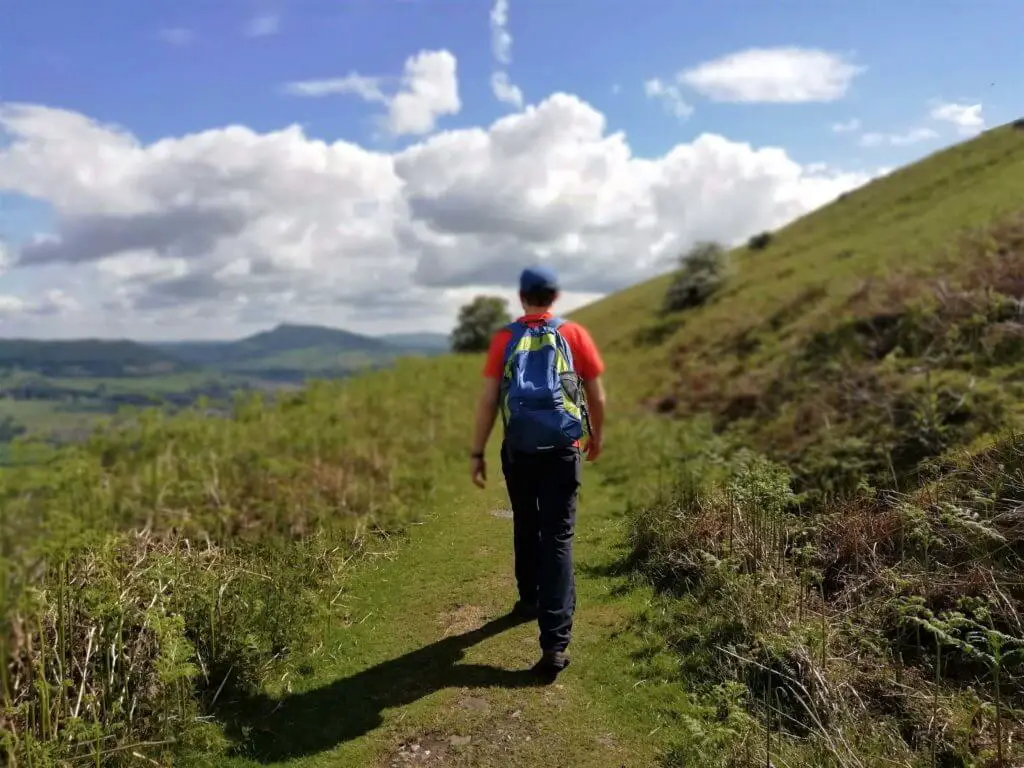
You will also see the tunnel through which the Hill’s Tramroad passed which serves as a fine example of this area’s industrial heritage.
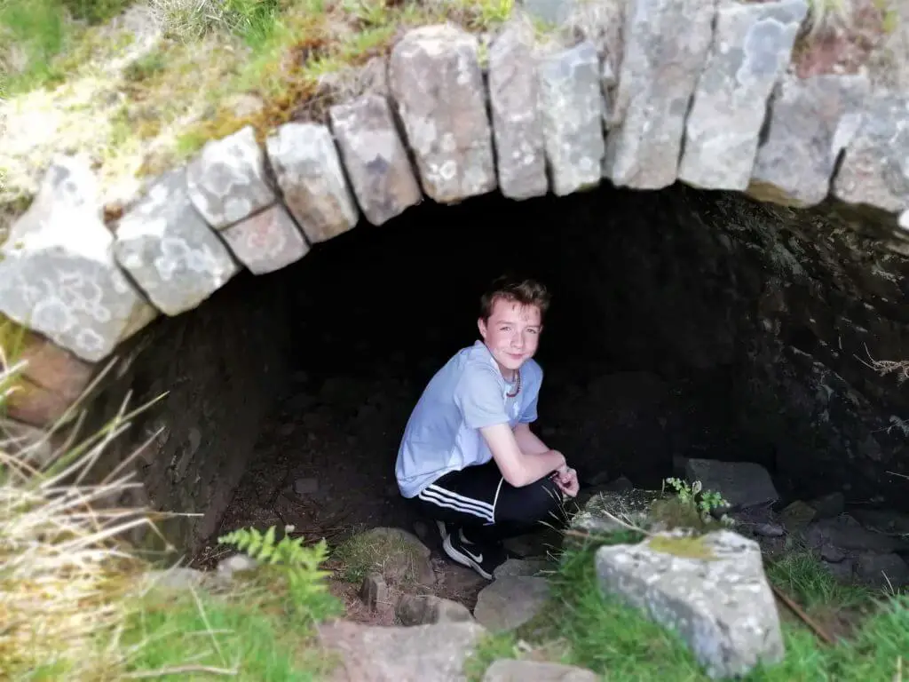
The path now begins to wind its way in and out of the mountain’s concave and steep easterly slopes.
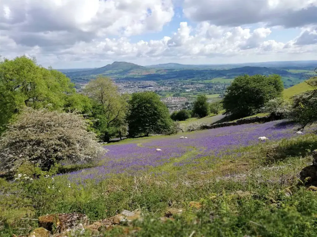
If you are fortunate enough to be enjoying the Blorenge walk in the spring, you are likely to be treated to some vibrant swathes of bluebells along this stretch.
Did you know? Around 50% of the entire world’s bluebells are found in the UK.
Blorenge Punchbowl
A short distance further on, the trail leads you into a beautiful wooded haven on the mountain’s eastern side, where a small man-made lake forms its centrepiece. It is easy to see why this is known as the Punchbowl.
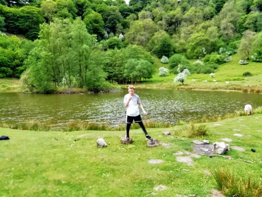
This is a serene and beautiful spot and an ideal location to sit and enjoy your lunch while soaking in the scenery.
Did you know? The Punchbowl is owned and managed by the Woodland Trust as a nature reserve. What’s more, some of the trees in this ancient semi natural woodland are in excess of 200 years old!
If you are a lover of wildlife, there is plenty to look out for here. Keep your eyes peeled for mallards, herons, green woodpecker and warbler. Gazing across the lake, dragonflies and damselflies can often been seen manoeuvring at pace across the surface.
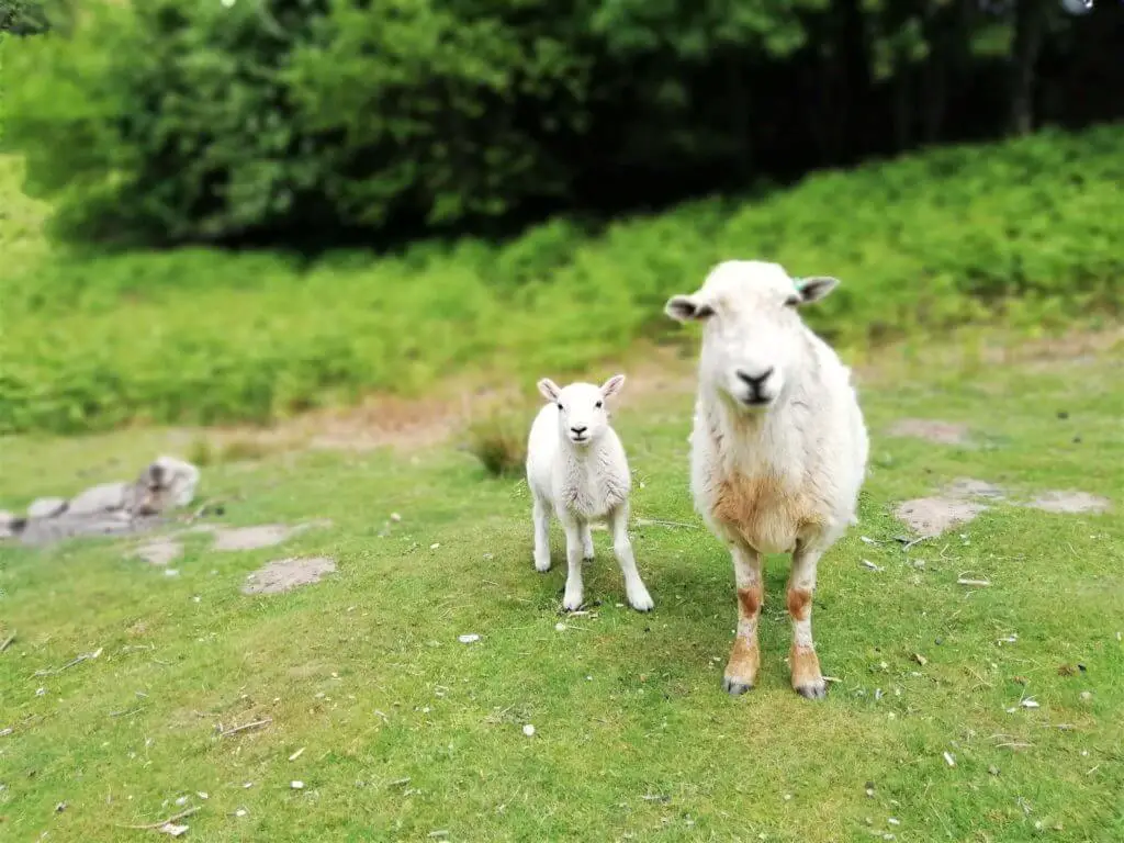
You may well receive a friendly welcome from some of the local sheep. No sooner had we sat to eat our lunch, when we looked up to find a mother and baby standing no more than a metre from us demanding some food. Do not be bullied (like we were) because as cute as they were, the minute you feed them they do not leave you alone!
Climb to the Summit
With the lake on your right hand side, walk along the shoreline and then follow the lower trail that leads steeply up into the woods.
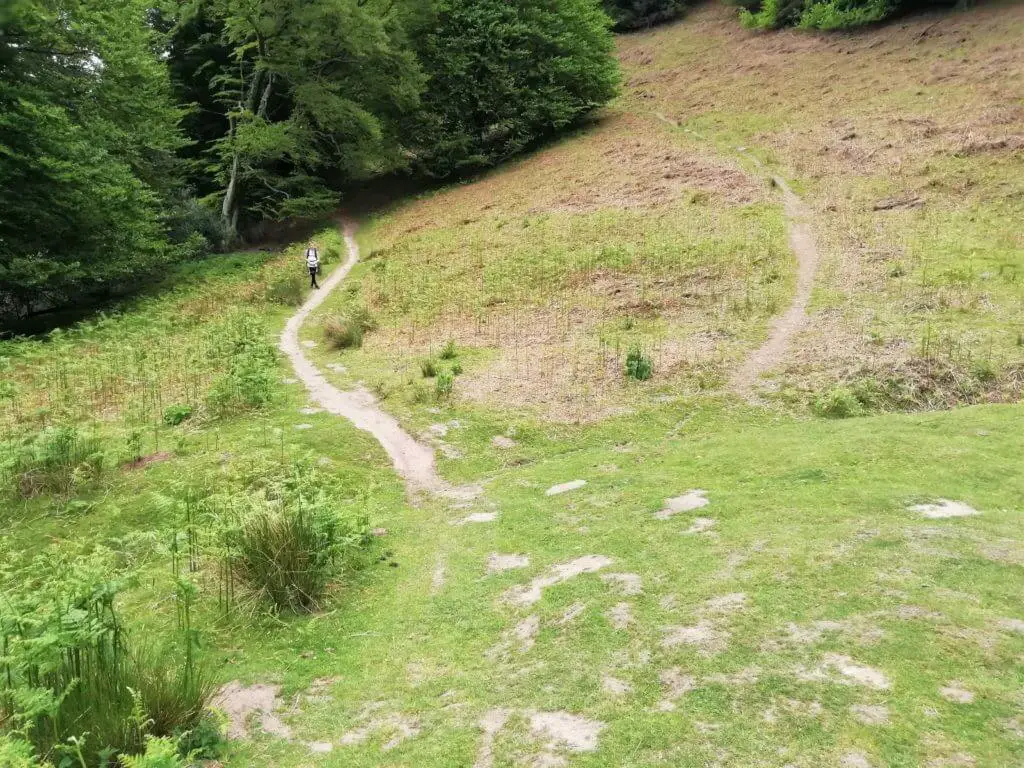
Towards the top, the path turns sharply to the right and passes through a gate. The trail now levels out and within a few minutes you will reach two further gates, a short distance apart.
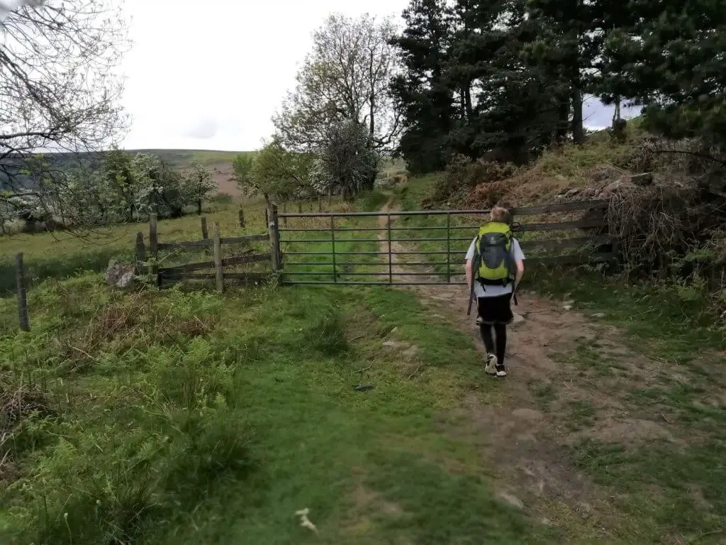
Once through the second of these gates, you will now see a small country road directly in front of you and a traditional stone wall to your right. Follow this wall as it curves to the right.
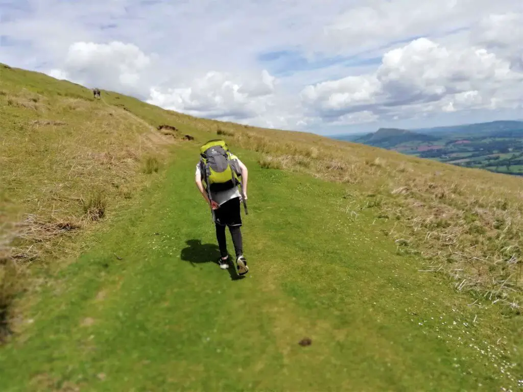
The path now steepens as you begin the final climb to the summit plateau. As you progress up the southern slope of Blorenge mountain, be sure to take a look back and enjoy the southerly views. On a nice clear day, you can even see the Bristol Channel.
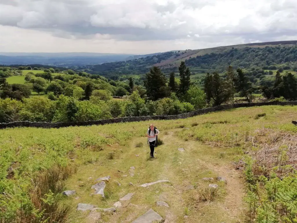
The trail leads you to the eastern edge of the summit plateau where you can now catch your breath while taking in the super views on offer which now include a bird’s-eye view of the Punchbowl.
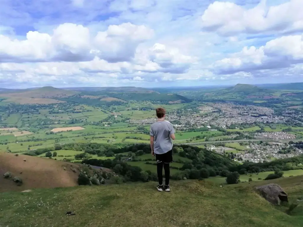
Follow the ridge until you spot a small concrete building. Keeping the building on your right, continue along the trail that gently climbs in a south westerly direction down the centre of the summit plateau.

This will lead you directly to the trig point which sits atop a mound with a pile of boulders at the top. These mark the location of a Bronze Age burial chamber.
The Blorenge Walk – Return Stretch
From the summit of Blorenge, continue along the trail in a south westerly direction to the Foxhunter Car Park.
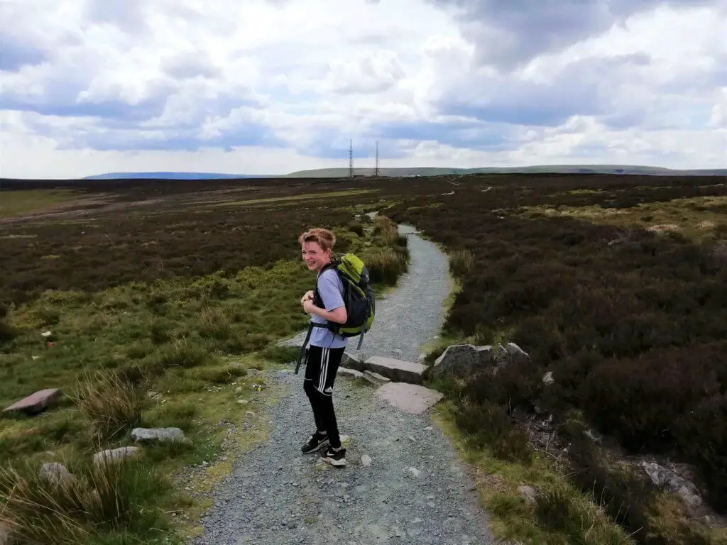
It is easy to see where you are headed as there are two radio masts which sit just to the left of the car park.
Did you know? The car park is named in honour of the famous show jumping horse, Foxhunter, who won Britain’s sole Gold medal at the Summer Olympics of 1952, held in Helsinki, Finland. Foxhunter was buried just off the trail as you approach the car park, where there sits a grave marker and memorial. The ashes of the horse’s rider, Sir Harry Llewellyn were scattered alongside Foxhunter’s grave, upon his death.
From the car park, turn right and follow the narrow country road for a few hundred metres.
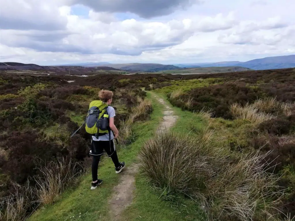
You will then see a grass track (not that obvious) that leads off to the right. Keeper’s Pond now lays ahead of you and within a few minutes you will be back at your car.
Blorenge Walk – Q & As
How long is the Blorenge circular walk?
The route that we followed totalled 6.8 miles (10.95 km) measured by the ViewRanger App.
How long does the hike take?
We completed the hike in 4 hours and 23 minutes but this included a 20 minute break for lunch.
How difficult is the hike?
Although this is a fairly substantial hike in terms of distance, for the most part it is a relatively flat hike. In fact, the only really testing section is the climb from the Punchbowl to the summit ridge. I would therefore rate this hike as moderately challenging.
What other Blorenge walking routes are there?
If you are looking for a nice simple walk that is not too taxing, I would suggest the Foxhunter car park to summit route. This should take you little more than 30-50 minutes out and back.
If you are on the hunt for something a little more challenging, the Blorenge walk from Llanfoist will be more your cup of tea. This walking route takes you directly up the steep eastern slopes of Blorenge. This will certainly give your thighs reasons to ache!
What is the height of Blorenge mountain?
1,841 feet (561 m)
Blorenge Walk – Our Thoughts
The Keeper’s Pond which marks the start of the Blorenge walk sits at an elevation of 482 m (1,581 ft). This ensures fabulous views from the second you exit your vehicle.
For the first part of the walk, these views are predominantly out to the north taking in the beautiful Usk Valley and the peaks of the Black Mountain and Brecon Beacons.
“Take a look at some of the other hikes that we have experienced in Wales”
The wooded easterly slopes where the Punchbowl is located is simply a magical nature and wildlife haven. Make sure you spend some time here just to enjoy the beauty and tranquility on offer.
The latter part of the walk gives you the opportunity to enjoy the far reaching southerly views towards the south Wales coast and the Bristol Channel.
We thoroughly enjoyed this walk as it offered both a decent challenge and exposure to some of south Wales’ most spectacular scenery.
Give this walk a go as I am certain you will not be disappointed. Don’t just take our word for it, see what others are saying about the Blorenge walk on TripAdvisor.
If you have already experienced the Blorenge circular walk, we would love to find out what you thought. Simply drop your comments into the box below along with any questions and comments that you may have. We would love to hear from you…
Like Our Article? Please Pin it!

Loved this walk. Completed it today with our almost 4 year old and had a great time. The punchbowl is the perfect picnic spot.
Hi Laura,
Thanks for your comment. Really glad you enjoyed the walk and picnic locations don’t get much better than the punchbowl do they!
Best wishes
Gavin