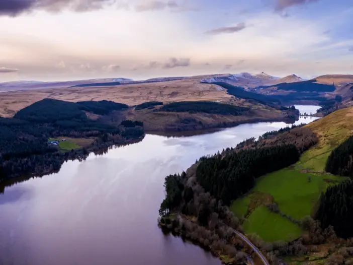
Brecon Beacons National Park
The Pontsticill Reservoir walk leads you around this beautiful body of water, through the Taf Fechan Forest, with the central peaks of the Brecon Beacons as your backdrop
Pontsticill Reservoir Circular Walk
We have a real passion for hillwalking and it is therefore of little surprise that the majority of the trail guides that we publish cover hikes of this nature. However, living in South Wales we are blessed with a wide variety of landscapes, including numerous lakes and reservoirs.
Therefore, we decided to broaden our repertoire of hikes to appeal to not only hill walkers but also those looking to experience some of the wonderful bodies of inland water dotted throughout the Welsh countryside.
We kicked off this new series of hikes with the Pontsticill Reservoir walk.
Where is Pontsticill Reservoir?
Pontsticill Reservoir, also known as Taf Fechan Reservoir, is located in the south, central section of the Brecon Beacons National Park, immediately north of the village of Pontsticill.
Where to Park for the Pontsticill Reservoir Walk?
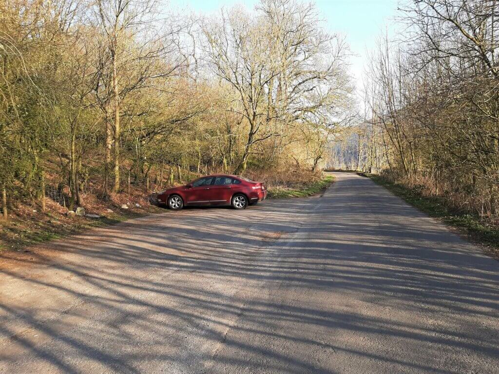
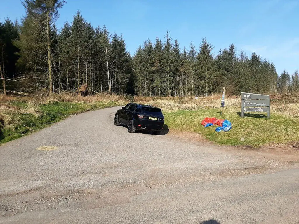
There is not a dedicated Pontsticill Reservoir car park as such but I found a very convenient spot that you can see on Google Maps. There are other Pontsticill Reservoir parking options but none are as convenient as this one.
Pontsticill Reservoir postcode (nearest) – CF48 2UR
Grid Reference: SO054143
How to get there?
In my opinion, the best way to get to Pontsticill Reservoir is to click the orange ‘P’ on this Google Map. Then click the arrow in the white box alongside Pontsticill Reservoir Car Park, enter your location and let Google guide you to the walk’s starting point.
Pontsticill Reservoir Walk Description
Taf Fechan Forest
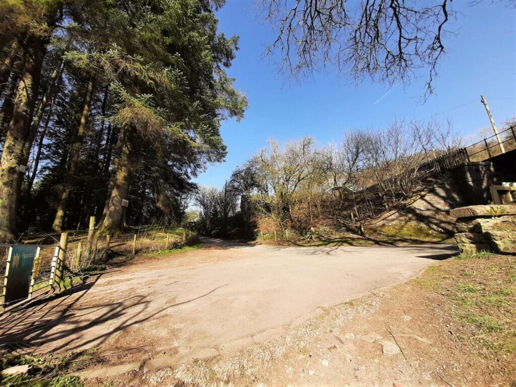
From the parking area, head south with the reservoir on your left, first passing the right turn to Talybont-on-Usk. Shortly after, take the next right onto a gravel track, ascending gently in a southerly direction.
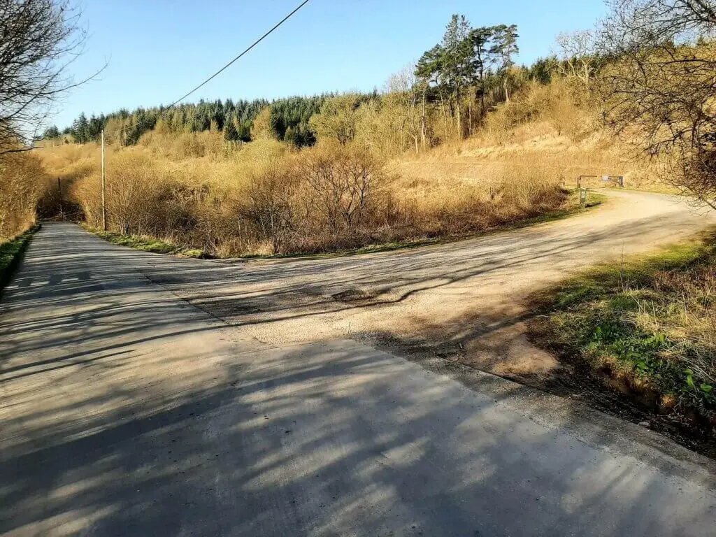
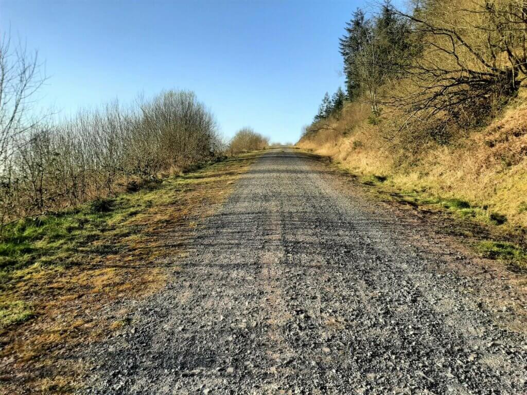
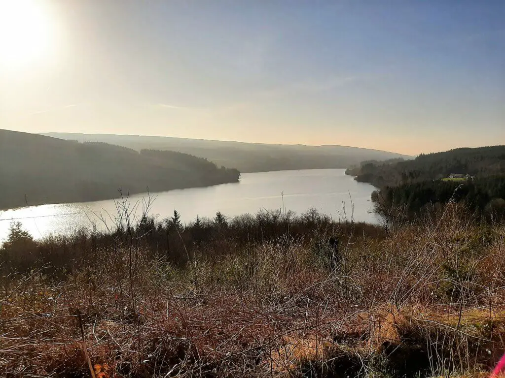
Within minutes, some fantastic views of the reservoir open up, well worth spending a few minutes enjoying. From here, the Pontsticill Reservoir walk winds its way inland, in a westerly direction.
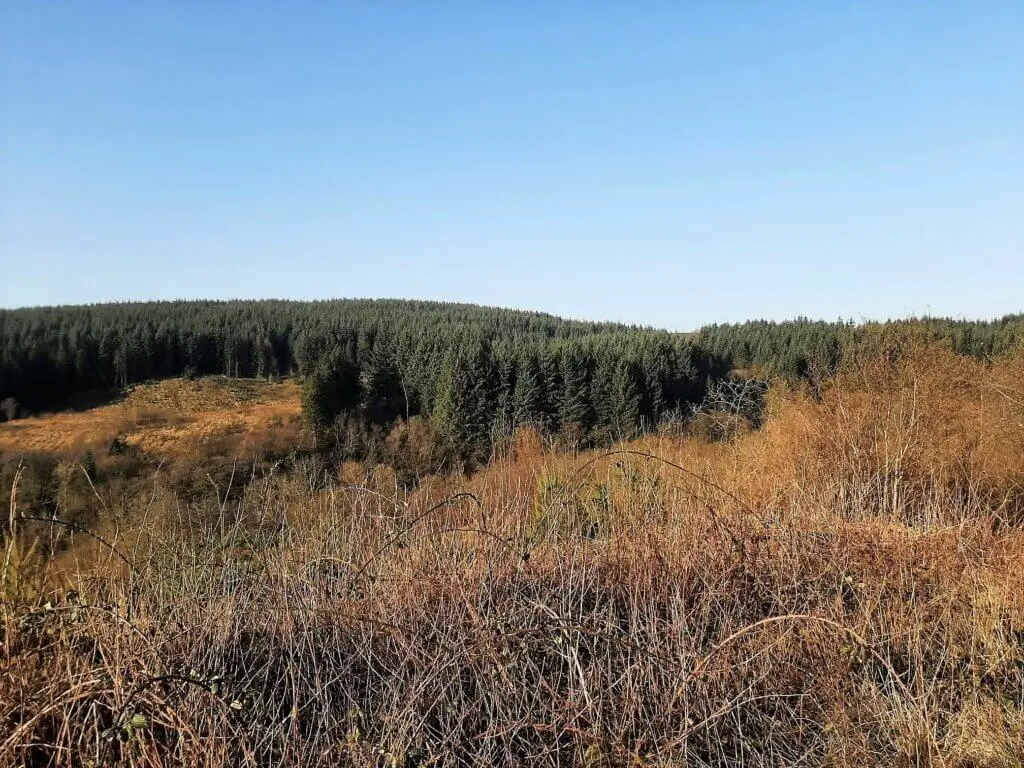
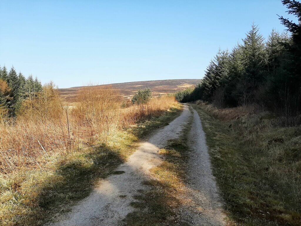
Flanked by trees immediately to your right, with forest views to your left, the trail soon veers to the northwest, bringing into view the rolling hills of the National Park.
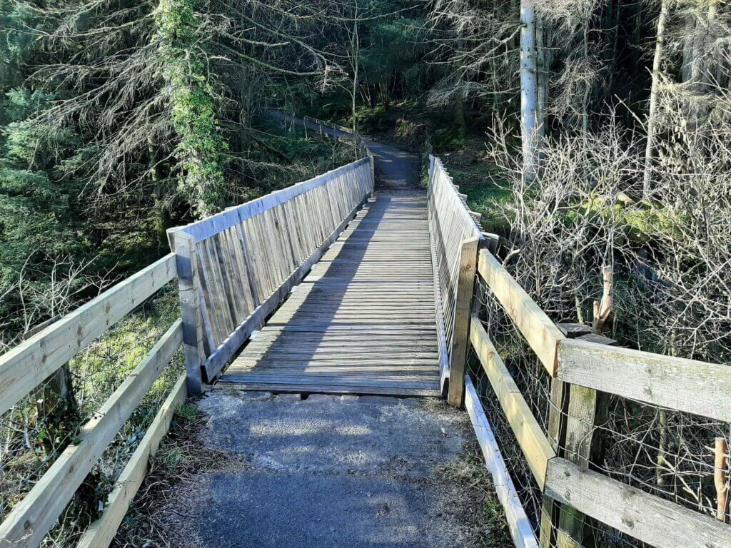
Shortly, you will reach a wooden footbridge spanning the Nant Car Fach (river), marking the entrance to the forest.
Now, the trail meanders its way through the peaceful tranquility of the Taf Fechan Forest, with little more to disturb you than the crunching of your soles on the dirt track and the chorus of birdsong reverberating throughout the treetops.
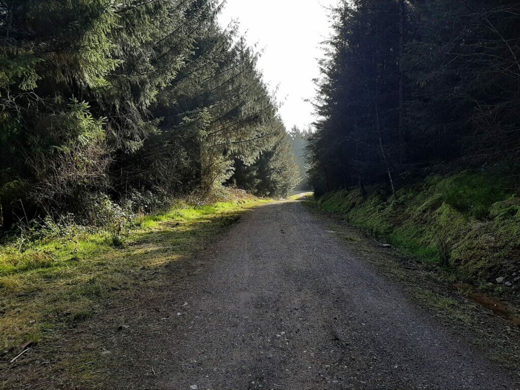
It is now simply a case of following the obvious trail through the woods until it finally links up once more with the road that runs alongside the reservoir.
Pontsticill Reservoir
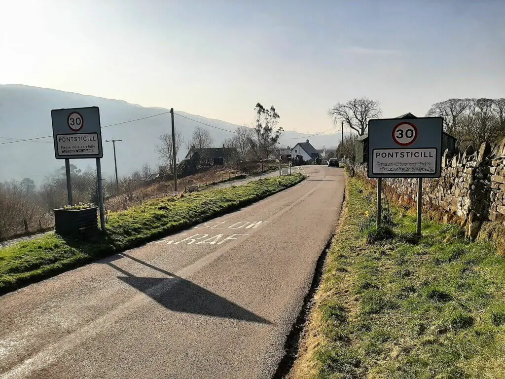
Turn right and follow the road a short distance into the village of Pontsticill. After passing the village sign, take the sharp left turn and within minutes you will arrive at the southern end of Pontsticill Reservoir.
The first thing you will notice upon reaching the reservoir (as long as you are tall enough to see over the reservoir wall) is what appears to be a large, somewhat intriguing, plug hole in the reservoir.
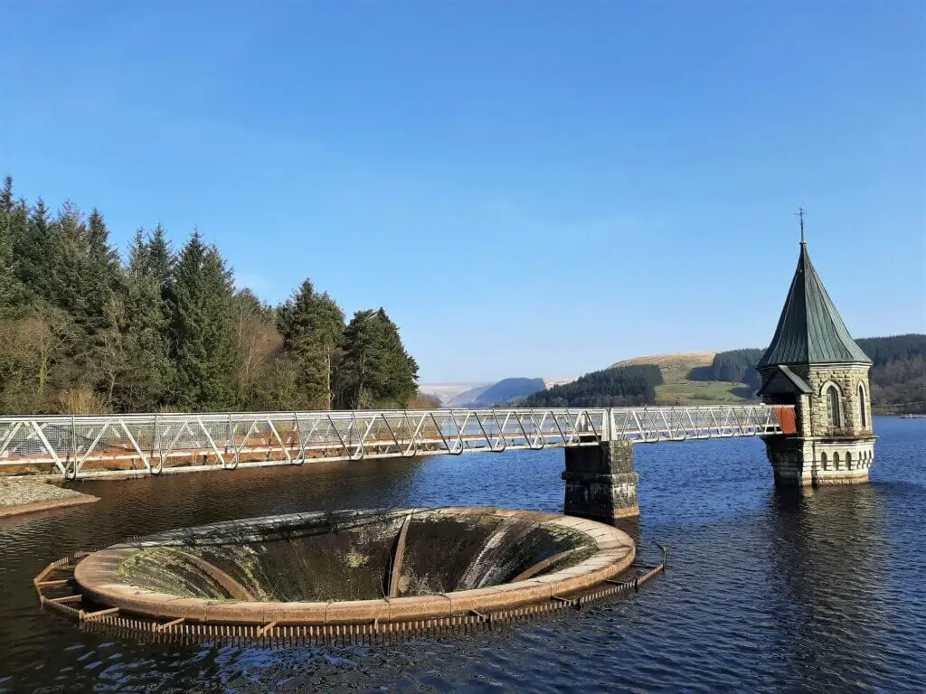
This is known as a bell-mouth overflow and acts as an overflow hole when the reservoir water level becomes too high.
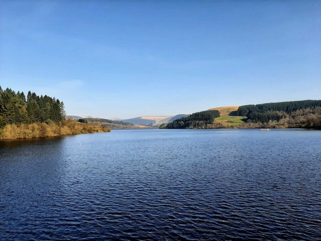
As you make your way across the reservoir’s southern edge, make sure you stop to enjoy the northerly view across the reservoir to the distant peaks of Pen y Fan and the Cribyn.
Walking along the eastern bank
Upon reaching the far side of the reservoir, turn left and follow the small road north up the eastern edge on this next section of the Pontsticill Reservoir circular walk.
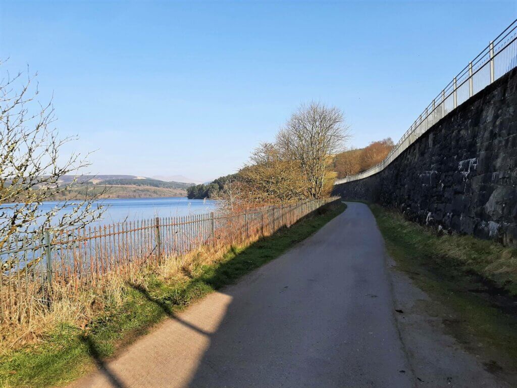
In approximately 200 metres the road narrows significantly when adjacent to Pontsticill Station, one of the stops on the Brecon Mountain Railway.
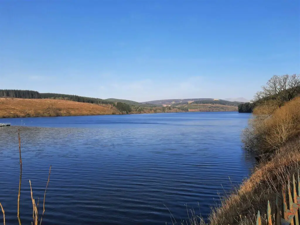
A few hundred metres further on, there are no longer any walls or railings off to your left and as a result, you now have unobstructed views across the reservoir.
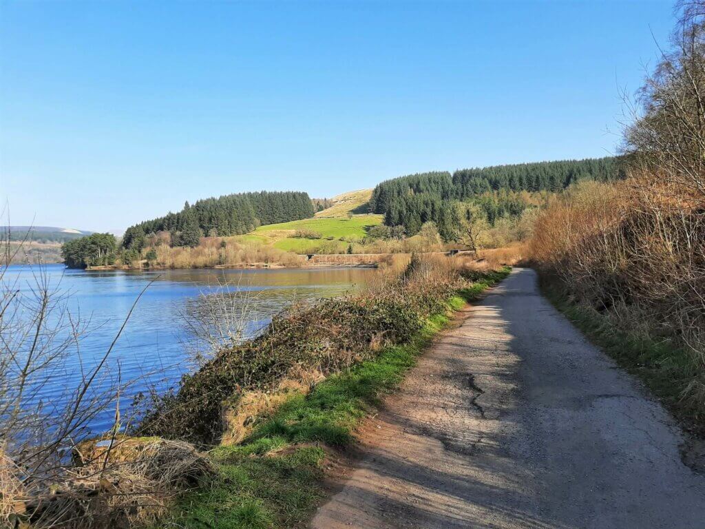
Before long, the paved road becomes more of a gravel/dirt track but remains firm and even underfoot.
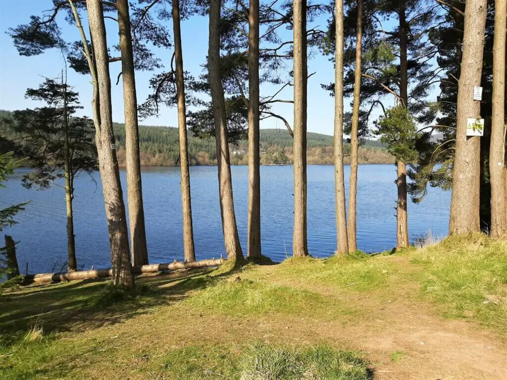
Further along, the trail breaks away slightly from the banks of the reservoir before climbing to meet the tracks of the Brecon Mountain Railway. Shortly afterward and alongside the entrance to the Merthyr Tydfil Sailing Club, the trail narrows significantly.
Northern Edge of the Reservoir
The Pontsticill Reservoir walk hugs the side of the railway line for approximately 650 metres before veering off to the left, descending gradually to the water’s edge once more.
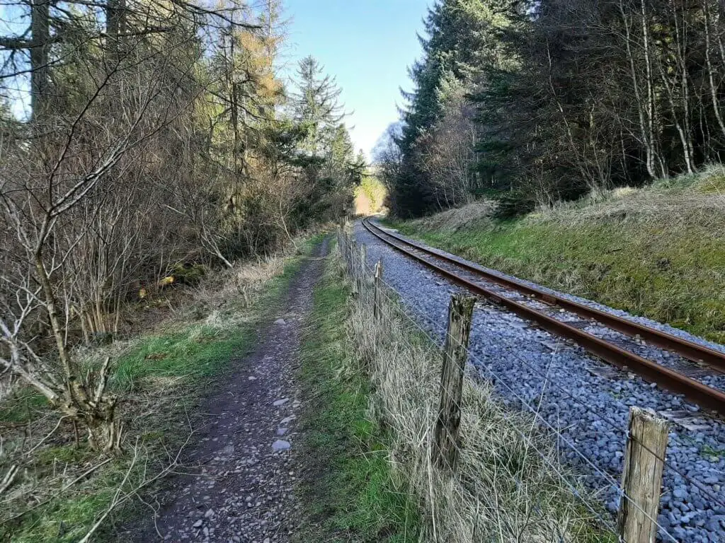
This is a brief encounter, however, as the path briefly skirts the reservoir’s rocky northern bank, before leading off to rejoin a paved country road.
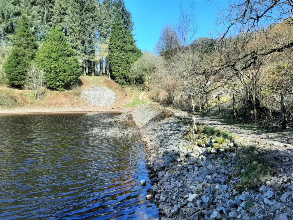
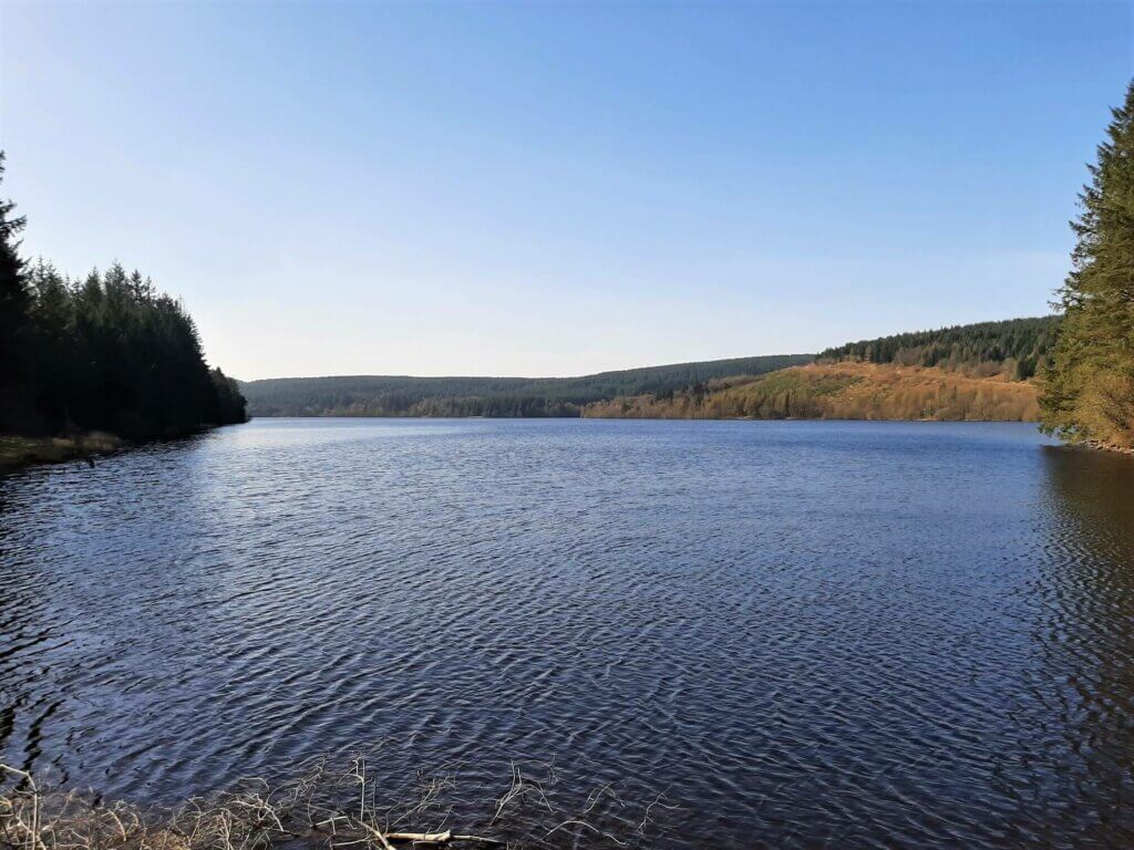
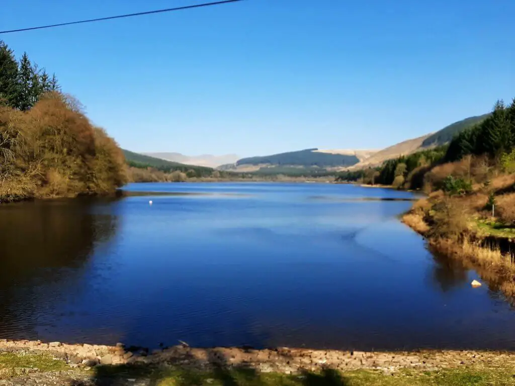
Once you join the road, go straight ahead past Plas Dolygaer and then a cottage. Within minutes, you will find yourself at the point marking the northernmost tip of Pontsticill Reservoir and the southernmost tip of the smaller Pentwyn Reservoir, also known as Dolygaer Reservoir.
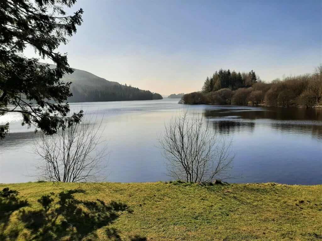
There is a nice grassy area off the road to your left at this location, giving you the perfect place to take a break whilst soaking up the wonderful views of the reservoir.
Within minutes of this spot, you will be back at the car and your Pontsticill Reservoir walk will be complete!
Pontsticill Reservoir Walk – Our Thoughts
This is a nice, pleasant walk through a very picturesque section of the Brecon Beacons National Park. Not only do you get to enjoy the beauty of the reservoir itself but also the wonders of the Taf Fechan Forest.
Furthermore, you get to enjoy splendid views of the central Brecon Beacons’ peaks at many stages of the walk.
This is an ideal trail for families with young children or those simply seeking an easy walk in a beautiful part of South Wales.
Pontsticill Reservoir Walk – Q & As
How long does the walk take?
This took me 2 hours and 20 minutes although I didn’t stop for many breaks along the way. So, I would allow up to 3 hours for a nice leisurely walk.
How far is the walk?
5.34 miles (8.6 km)
How difficult is the walk?
I would describe this as an easy walk. With only very gradual ups and downs and a good trail all the way, there really isn’t much to cause too many problems.
Want to enjoy a variety of outdoor activities with like-minded individuals?
Enjoy a multitude of fun activities in and around Pontsticill Reservoir with Parkwood Outdoors, located at the reservoir’s northern edge.
Interested in experiencing some Pontsticill Reservoir fishing?
Check out the Merthyr Tydfil Angling Alliance, the largest multidiscipline angling club in Wales. As a member, you will enjoy access to sections of seven rivers, four reservoirs (including Pontsticill), three ponds, as well as one section of canal.
Do you want to find out more about the history of the Pontsticill Reservoir?
Learn more about the Pontsticill Reservoir’s history, architecture and dimensions.
What other hiking trails are nearby?
If you fancy a challenging hike taking in the summit of Pen y Fan, the Brecon Beacons horseshoe ridge walk could be just what you are looking for.
The Neuadd car park which is the ideal parking location for this walk is located just a couple of miles northwest of the Pontsticill Reservoir.
Another great hike in the vicinity is the Talybont Waterfalls walk. This kicks off from the Blaen y Glyn Uchaf car park about 2.5 miles north of the Pontsticill Reservoir.
If you are fond of reservoir walks, there is also the Talybont Reservoir walk, just a stone’s throw away.
Venture further towards the northwest of the Brecon Beacons National Park and the idyllic Usk Reservoir walk is waiting for you.
Have you experienced this walk?
If you have, please share your experience with us and our readers. If you have any questions that we have not answered here, please let us know and we will get back to you just as quickly as we can.
Like Our Article? Please Pin it!

Leave a Reply