Brecon Beacons National Park
The moderately challenging 7-mile Talybont Reservoir walk exposes you to some of the best scenery the national park has to offer – This is so much more than just a reservoir walk!
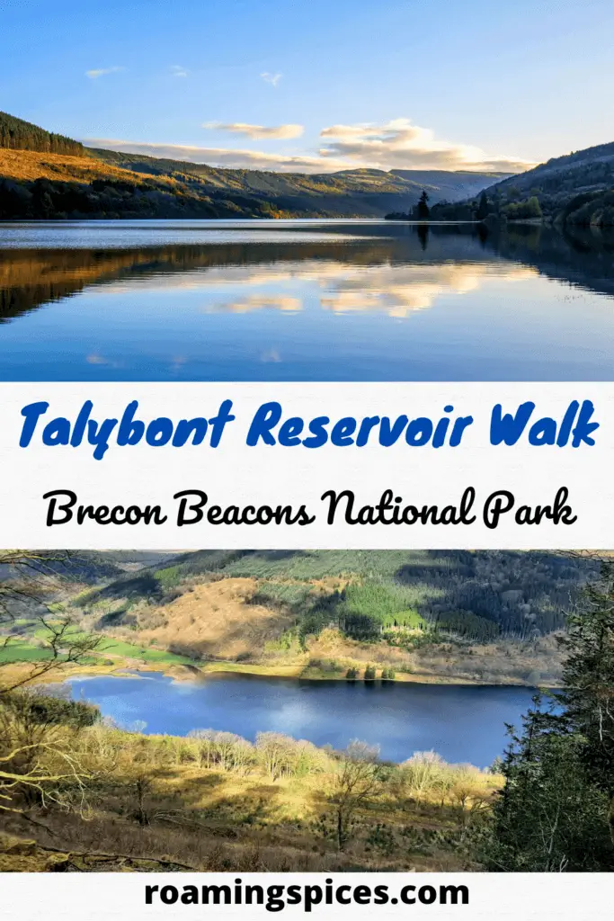
Talybont Reservoir Circular Walk
Having enjoyed the circular walk around Pontsticill Reservoir a couple of weeks previously, I now found myself a few miles to the northeast but this time to experience the Talybont Reservoir walk.
Although these reservoirs are in close proximity to one another, the few extra miles of narrow country roads leading you that bit further away from areas of population, give you a real sense that Talybont Reservoir could be somewhere far more remote.
Where is Talybont Reservoir?
Talybont Reservoir is located in the heart of the Brecon Beacons National Park, a couple of miles south of the village of Talybont-on-Usk and little more than 5 miles east of the central peaks of the Brecon Beacons.
Where to Park?
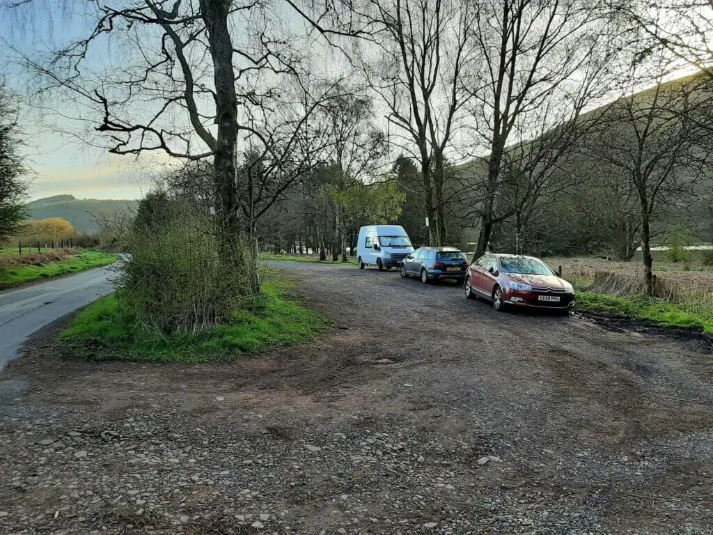
There is no dedicated Talybont Reservoir car park but there are a couple of small convenient options available to you. I have highlighted (with an orange ‘P’) the Talybont Reservoir parking options on this map.
I chose the parking spot on the west of the reservoir as it is slightly larger and more accessible than the one to the east.
- Talybont Reservoir postcode (nearest) – LD3 7YS
- Grid Reference: SO099196 (westerly parking location used for this walk)
- Talybont Reservoir map
How to get to Talybont Reservoir?
The best way to get instant detailed instructions on how to get to Talybont Reservoir is to firstly click on either of the parking options (‘P’) on the map. Then click the arrow in the white box, enter your starting location and hit enter.
Talybont Reservoir Walk Description
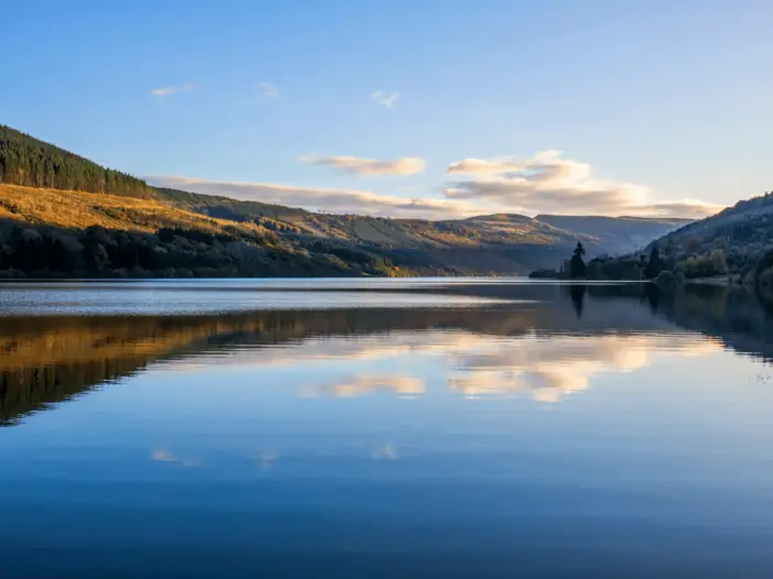
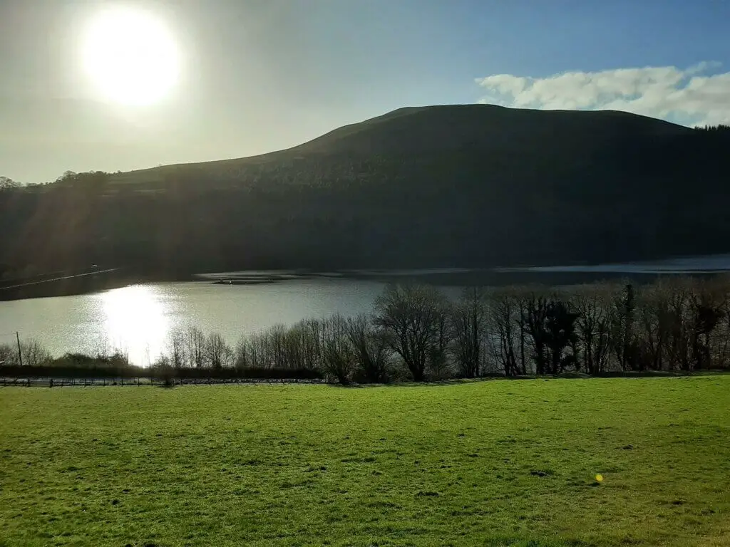
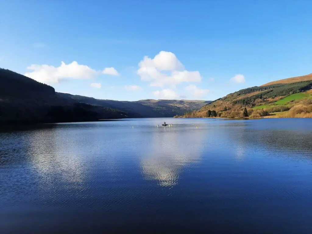
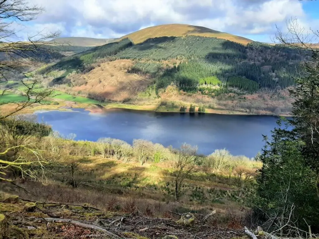
Talybont Reservoir – Up Close
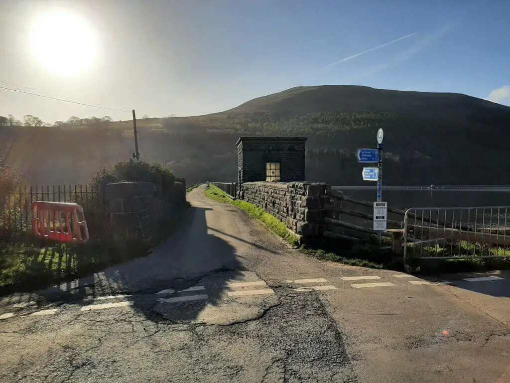
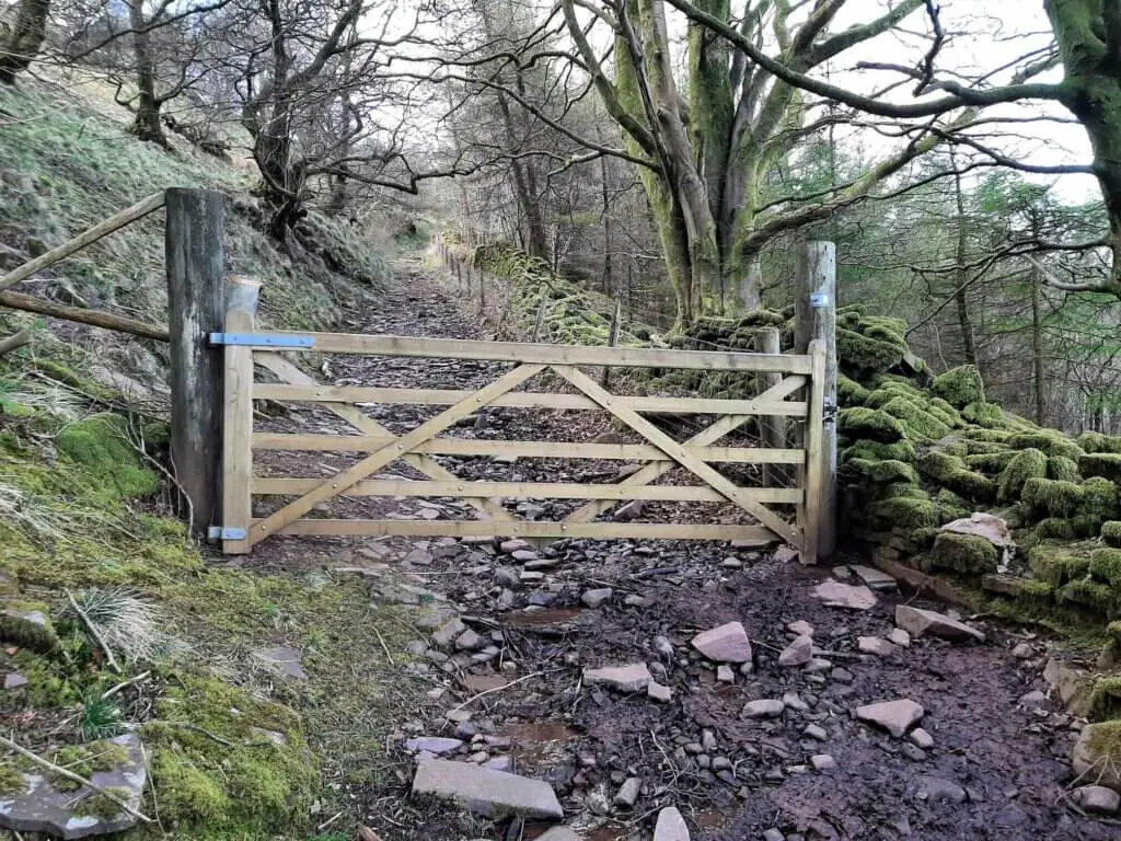
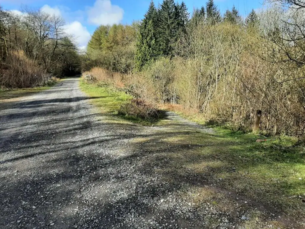
From the parking area head north along the small road with the reservoir on your right. In approximately 200 metres, the road crosses a small stream (Nant Tarthwynni), immediately after which is a metal gate on your left.
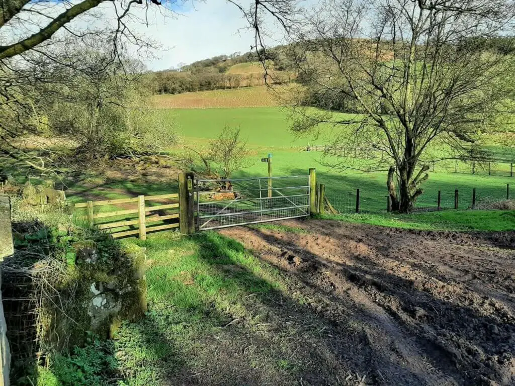
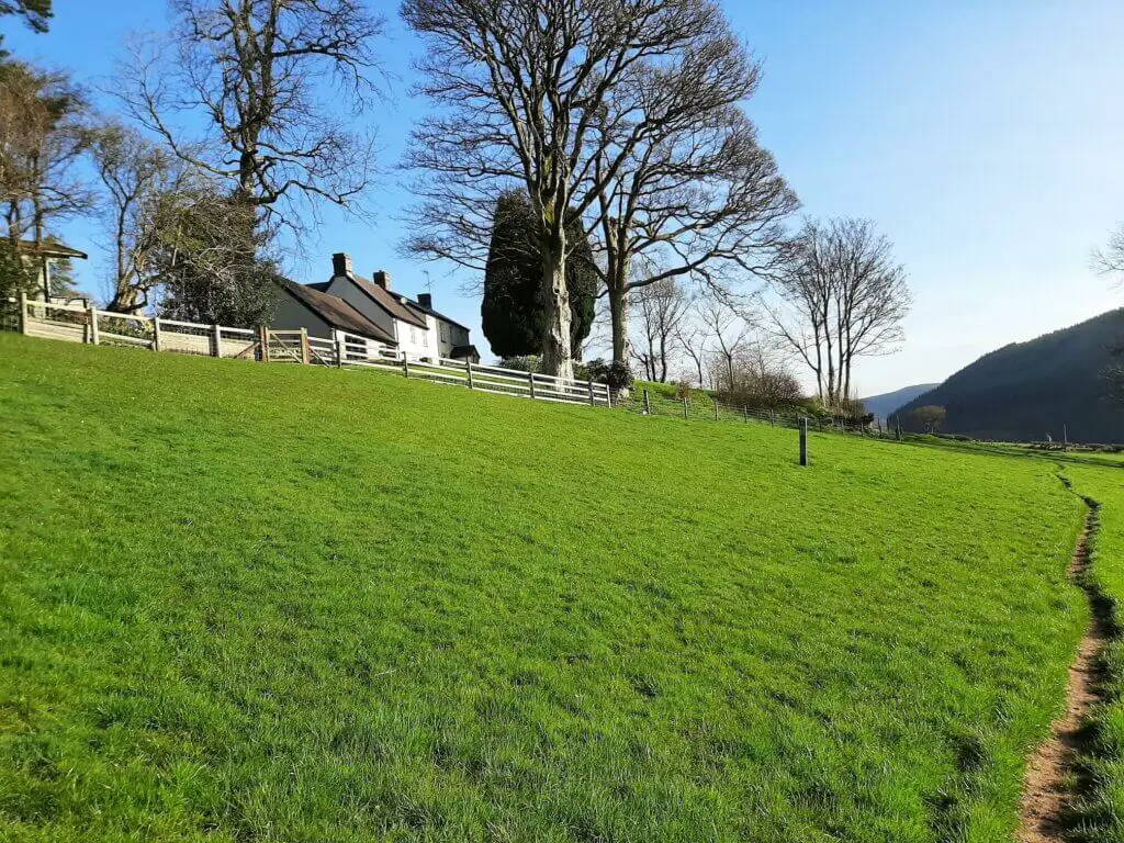
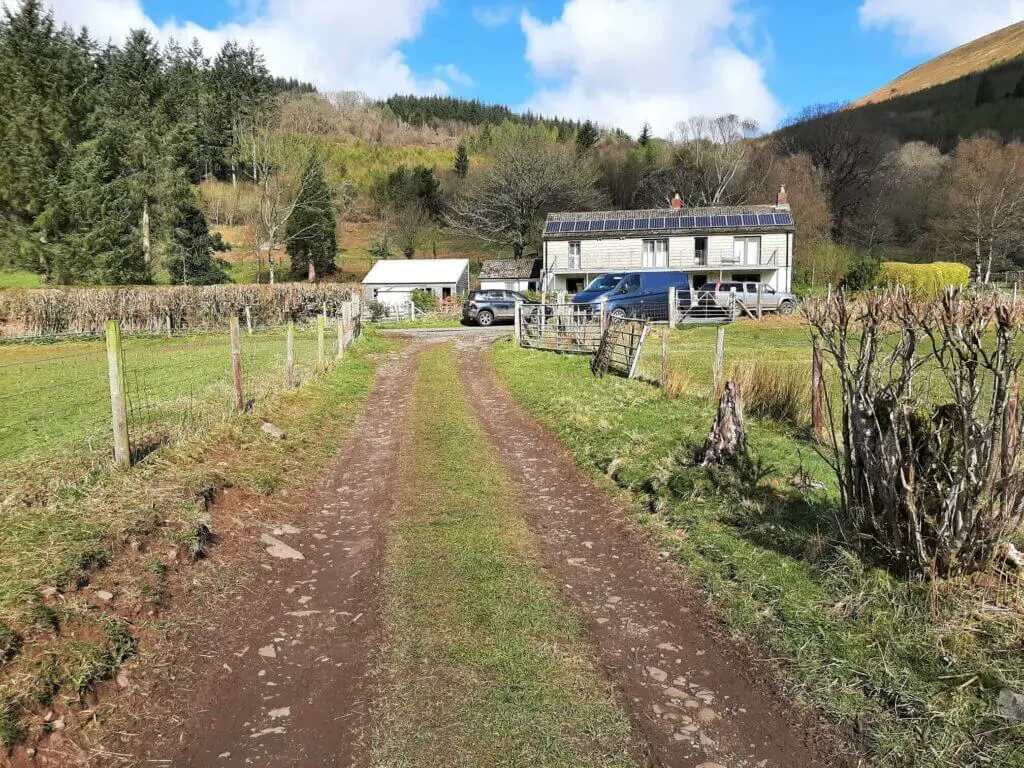
Pass through this gate, walk for approximately 50 metres and then turn right. For around 650 metres, the trail crosses a number of fields before you arrive at a private driveway, shortly after passing a white stone house off to your left.
Turn right and follow the driveway as it swings its way down to the northern edge of the reservoir.
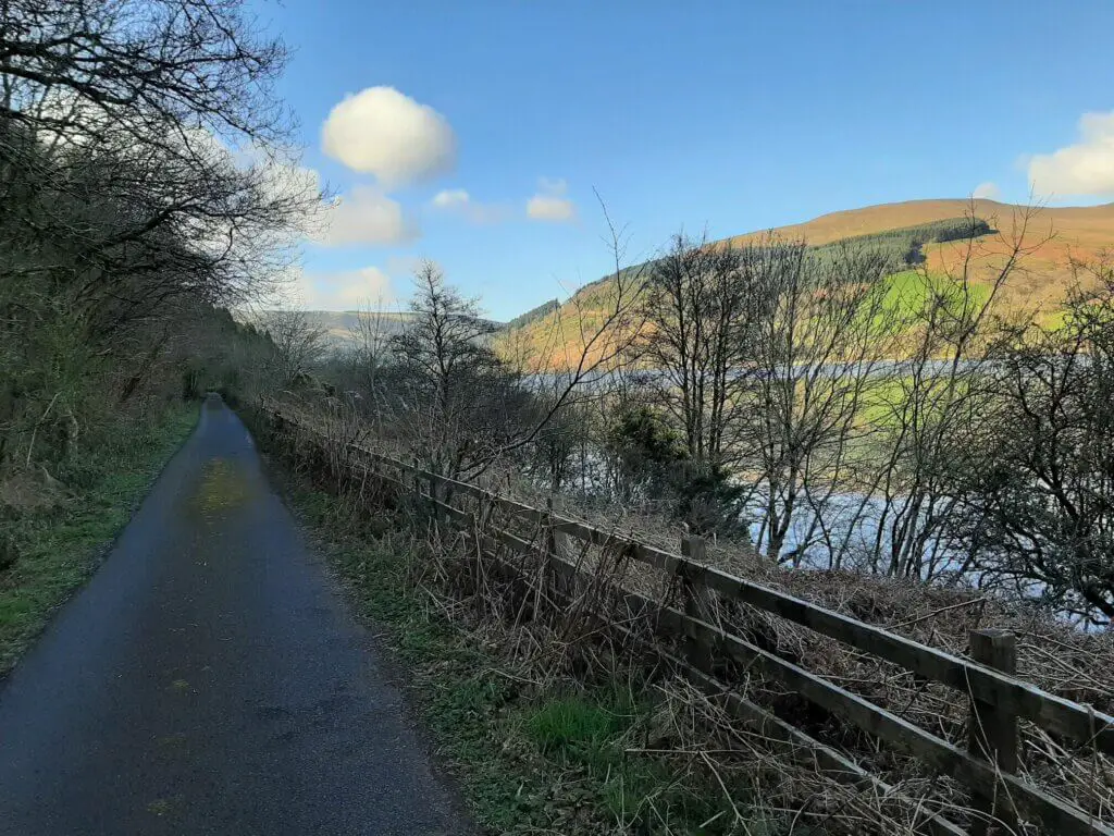
Take the narrow road across the reservoir’s northern edge, taking time to stop and enjoy the wonderful southerly views across the reservoir along the way.

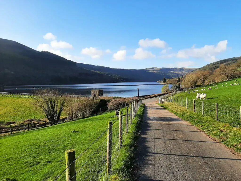
Upon reaching the far side, turn right and follow the road for just over 700 metres down the reservoir’s eastern bank. Here you will find the 2nd parking location I highlighted on the map above.
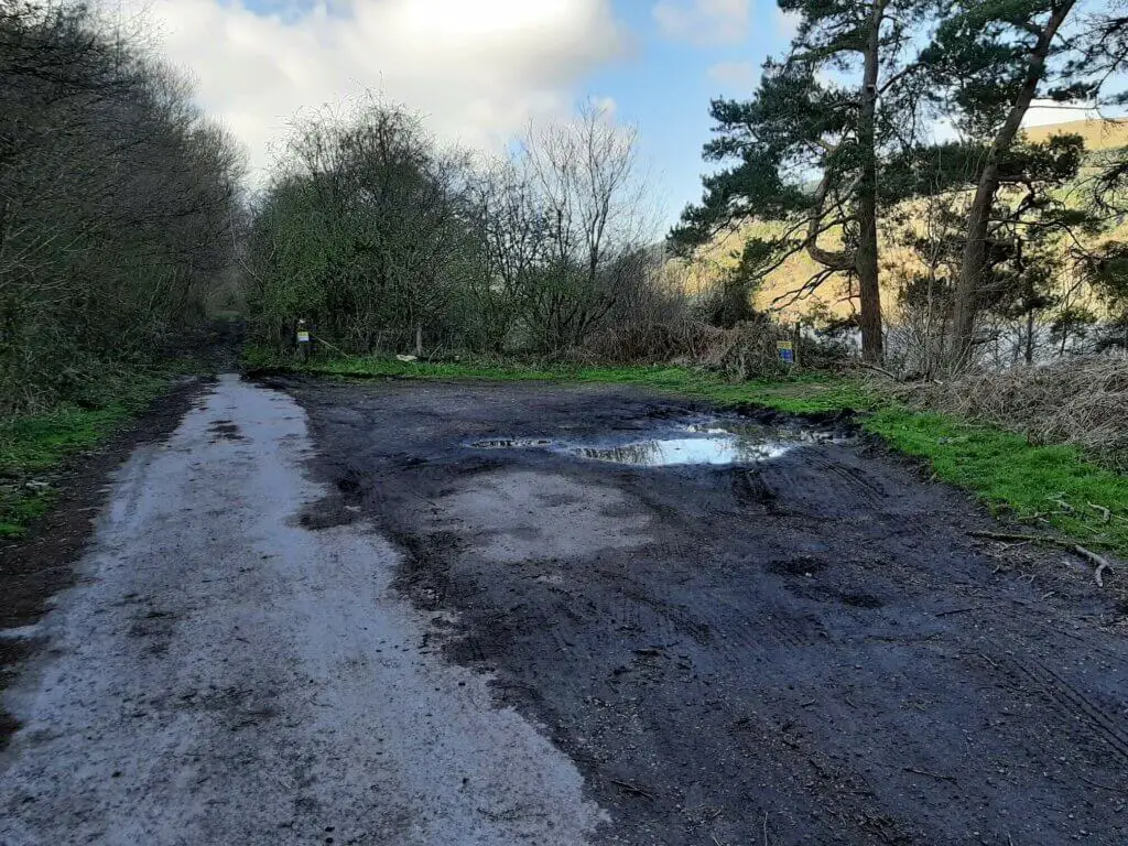
It is also the point at which the road ends and the Talybont Reservoir walk continues via a dirt trail.
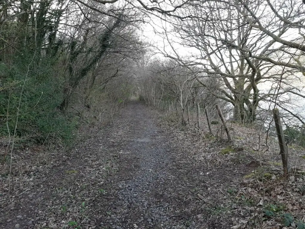
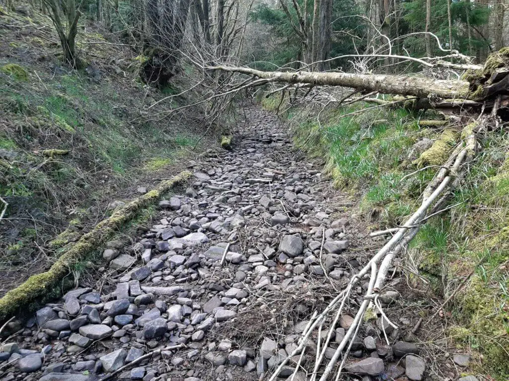
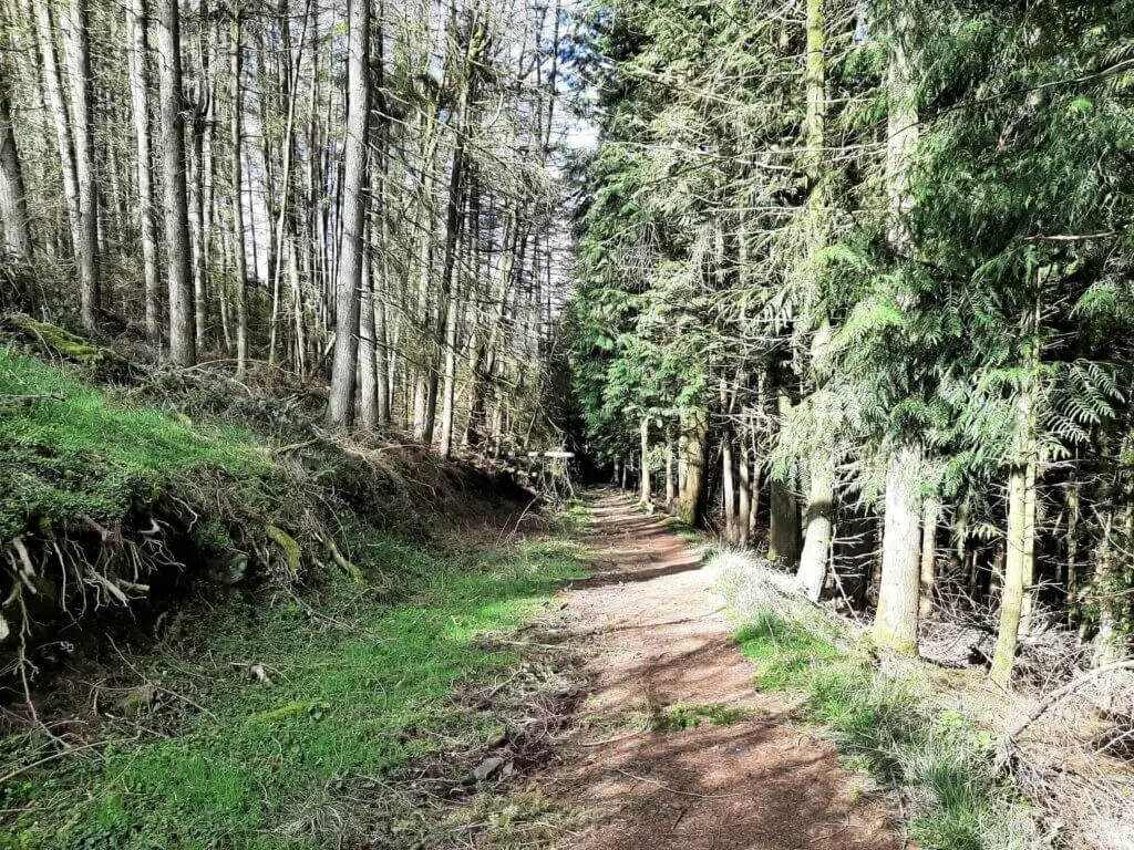
Climb Through Talybont Forest
Initially, the path runs alongside the reservoir but soon veers to the left and begins the gradual climb up and away from the reservoir.
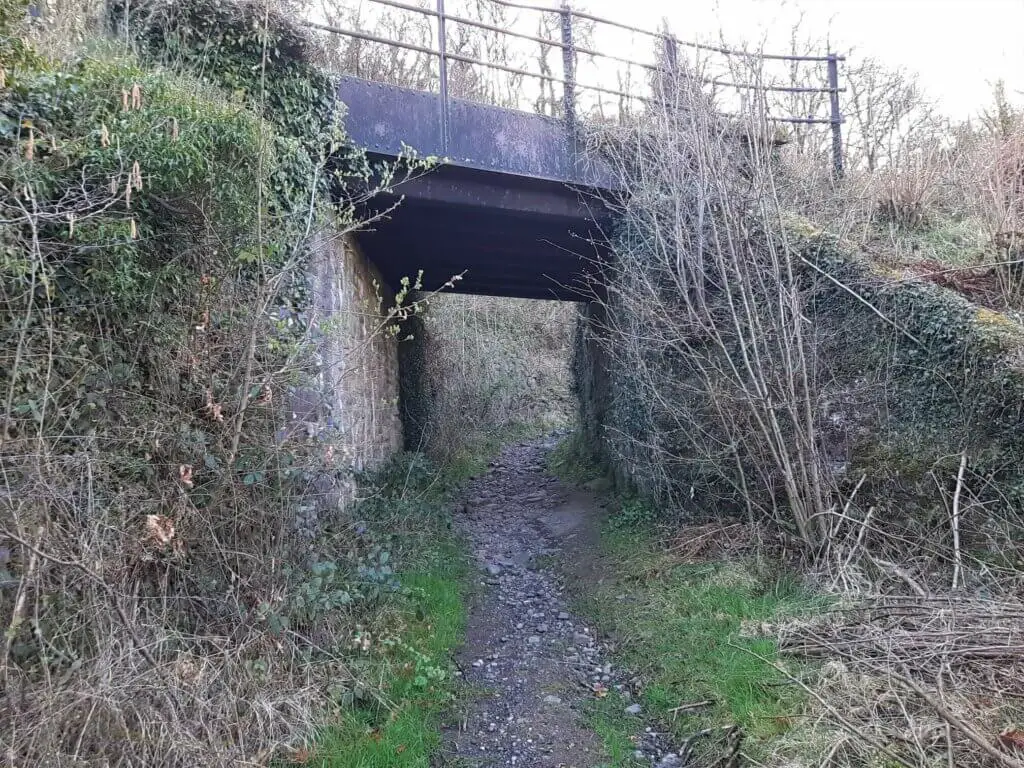
Soon you will pass under a bridge, beneath the Taff Trail, continuing to the first vantage point, just before a gravel track.
This is your first opportunity to enjoy some nice glimpses of the reservoir and the hills beyond.
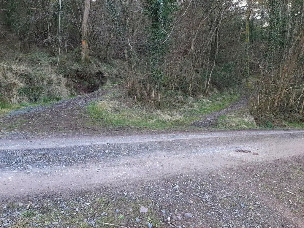
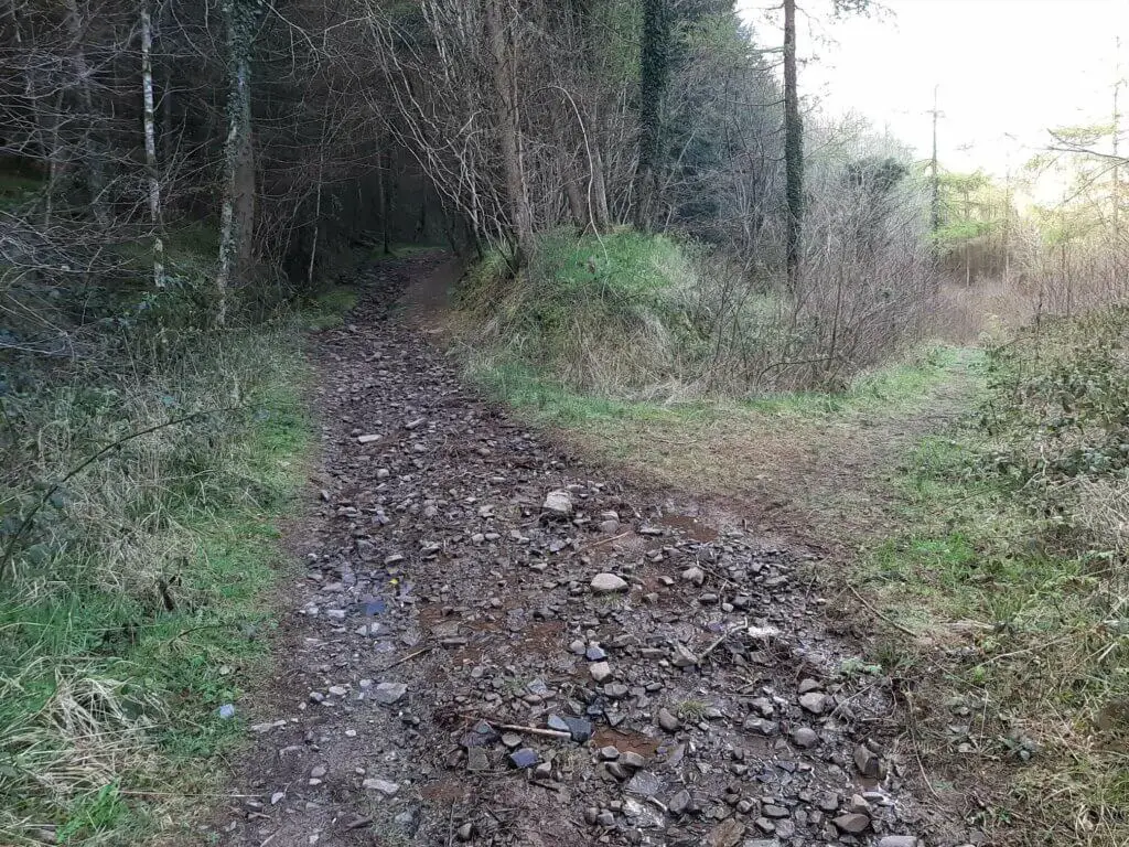
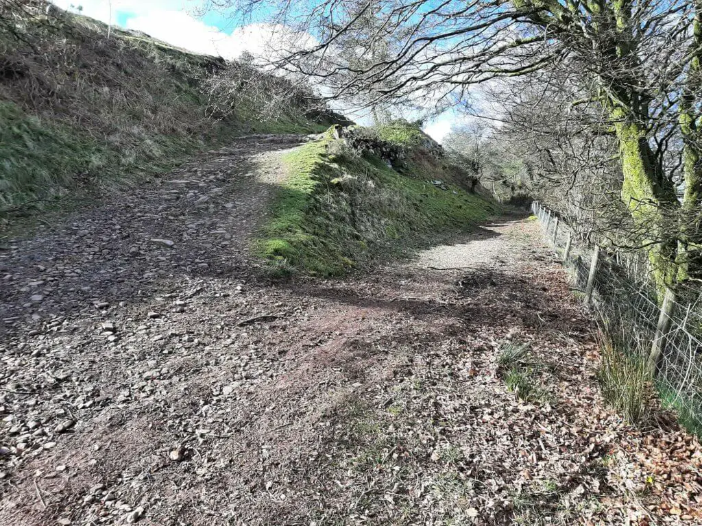
Cross over the gravel track taking the left-hand path into the forest. You will now find yourself walking on a very rocky and possibly wet trail depending on which month you are undertaking the Talybont Reservoir walk.
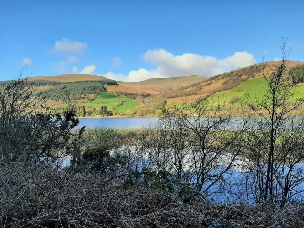
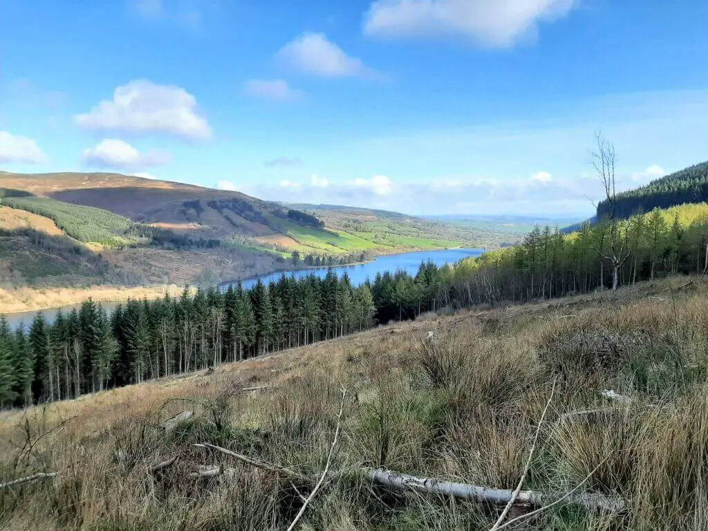
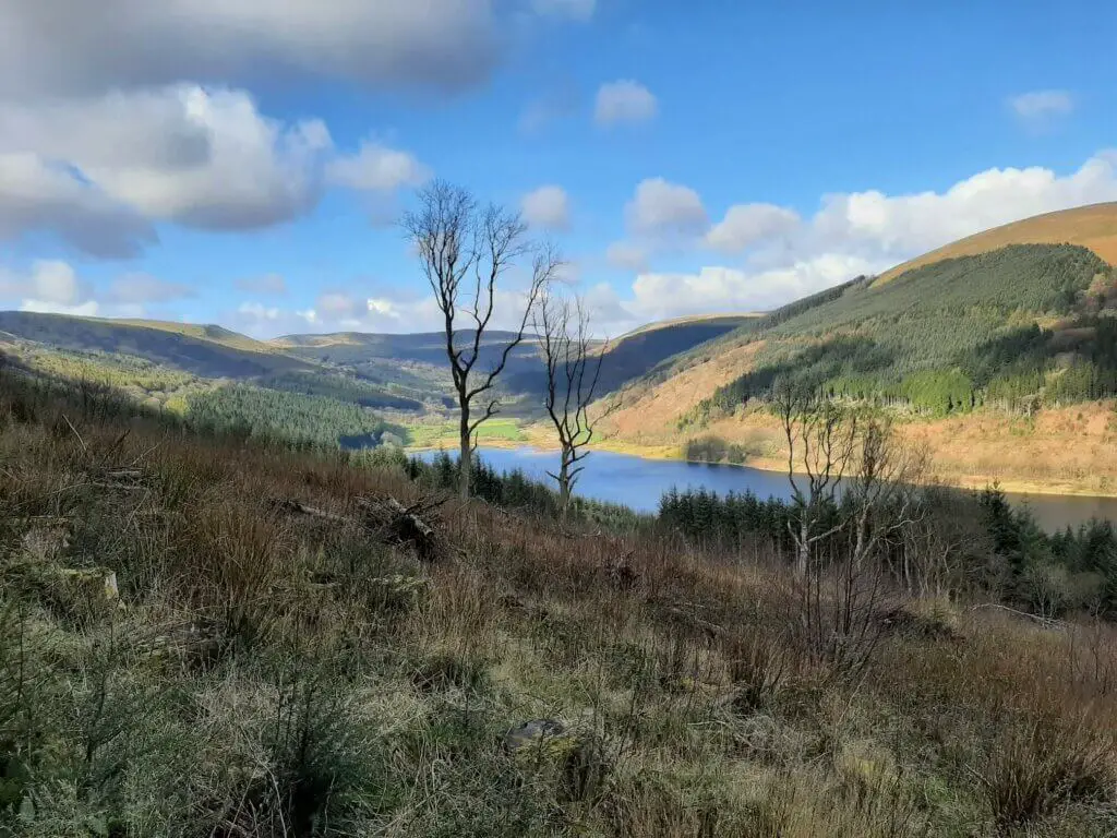
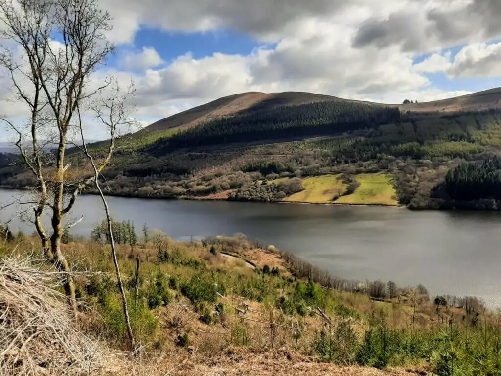
Your endeavours will shortly be rewarded as you break out of the forest to the breathtaking views capturing the full extent of the reservoir.
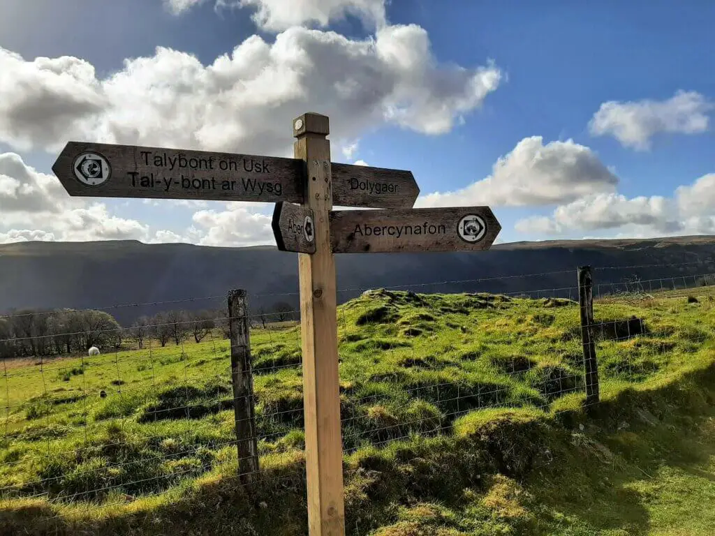
The path eventually intercepts the Bryn Oer Tramway (also known as the Brinore Tramroad), which in turn links up with the long-distance walking trail, Brecons Way.
Upon reaching the Brecons Way, you will have made it to the highest point in the walk at approximately 400 metres above sea level.
Valley Descent
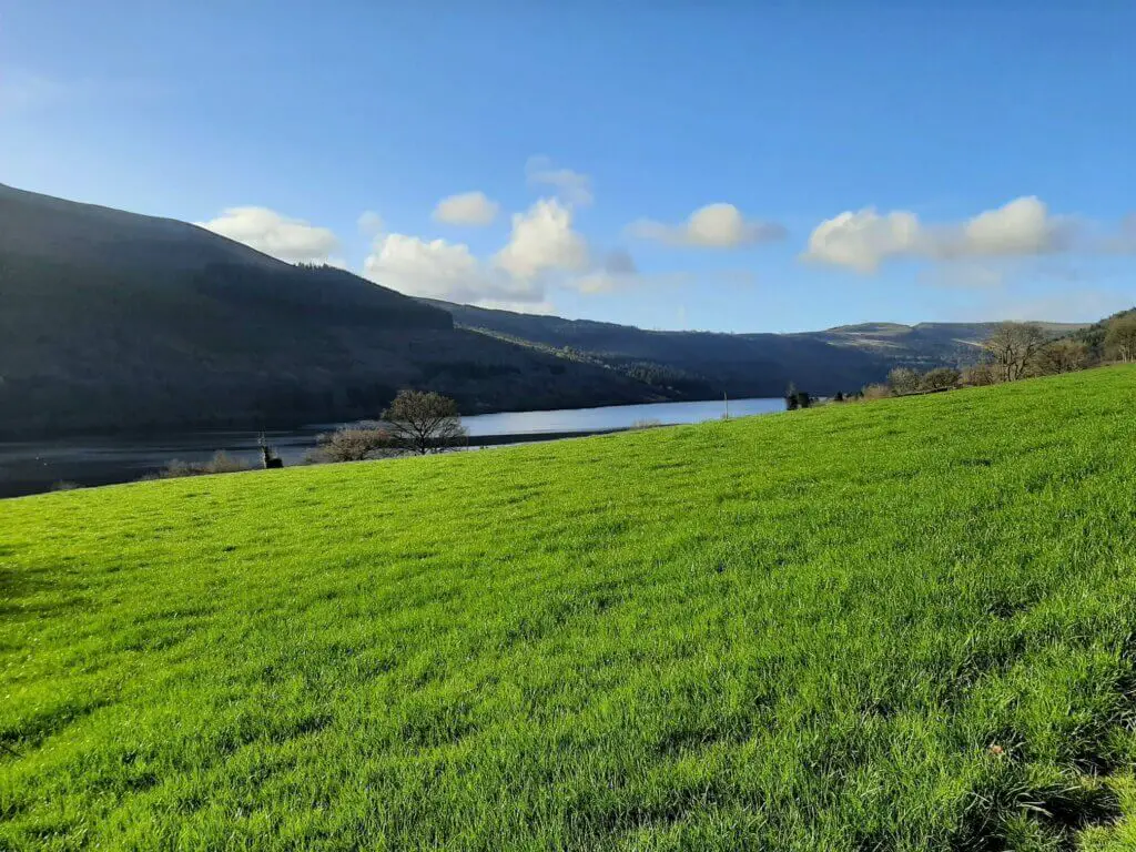
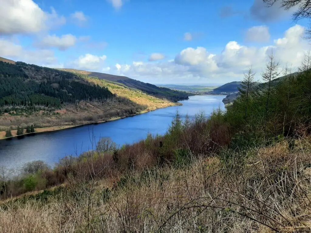
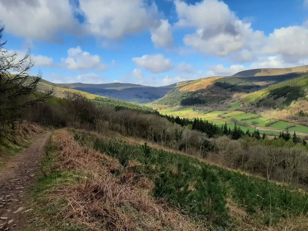
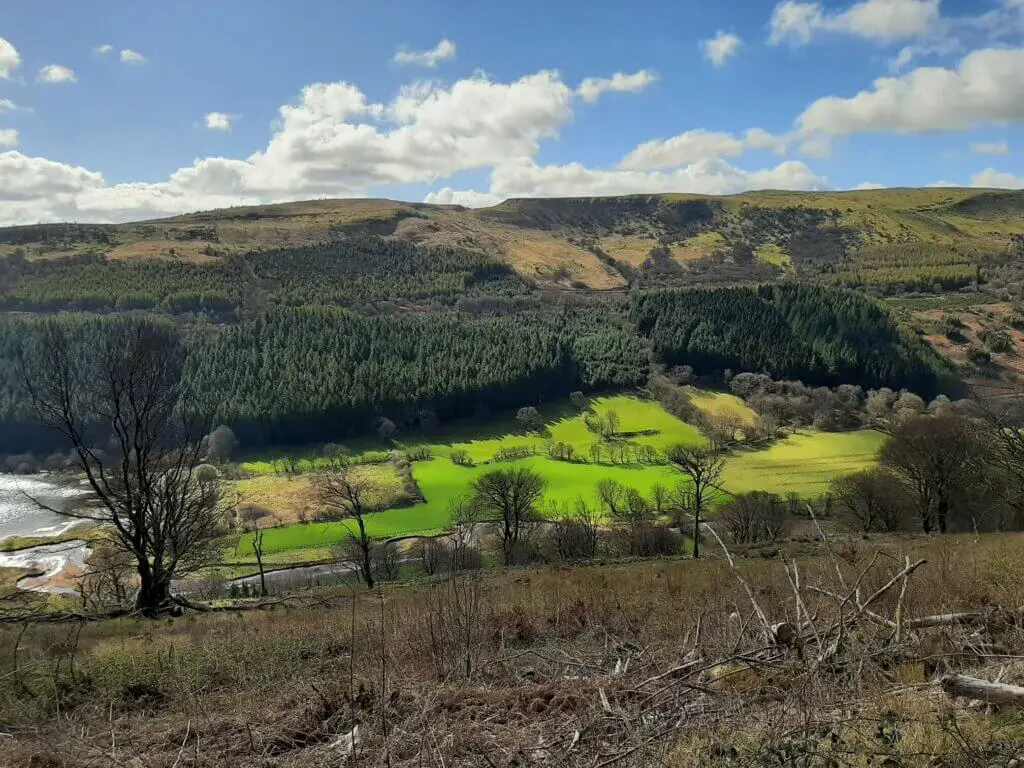
Continue to follow the Brecons Way trail as it descends gradually towards the valley. This is also the best section of the Talybont Reservoir walk to soak up the often uninterrupted views of the reservoir on your right.
The trail eventually meets and crosses over the Taff Trail once more, before entering the forest for a short period.
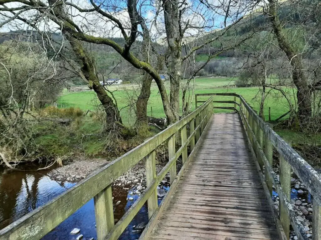
Soon after, you break out on the valley floor crossing the Caerfanell river via a wooden footbridge, before arriving soon after at a small country road.
Westerly Trail
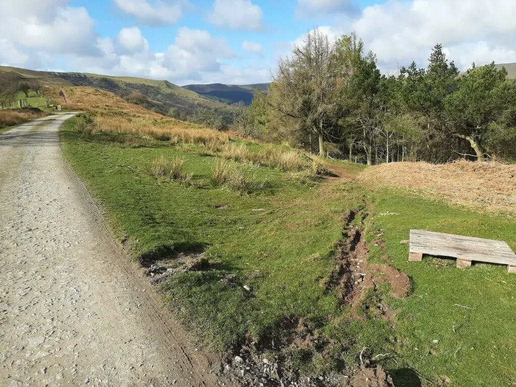
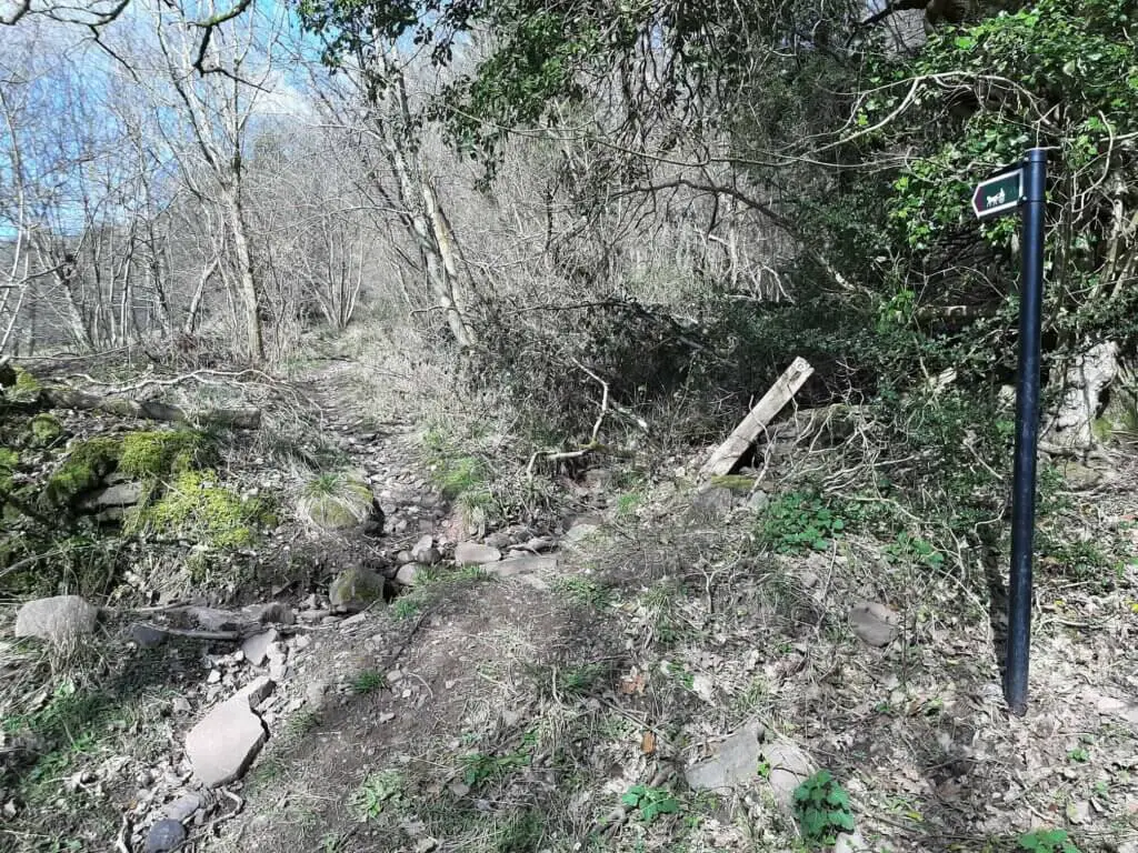
Turn right, following the road for approximately 300 metres. At this point, you should see a small horse and cart sign indicating the trail off to the left. This is a fairly rough and nondescript path that could easily be missed.
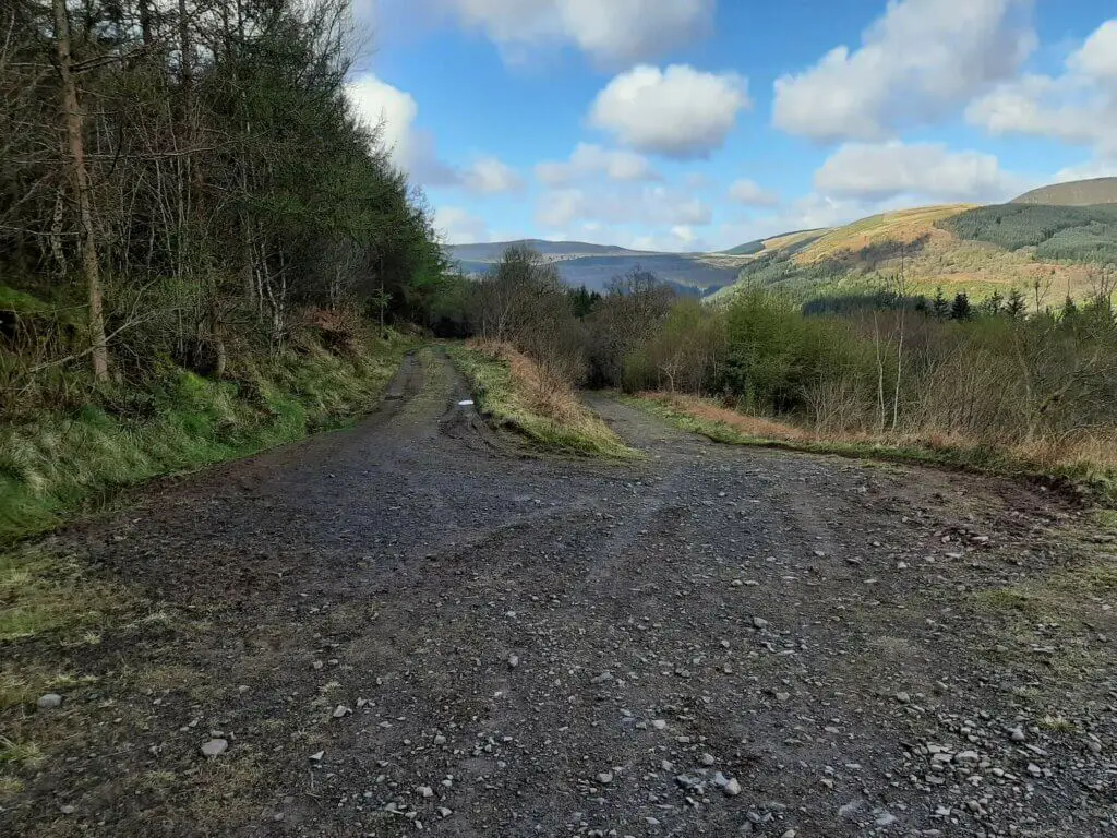
This path ascends gradually for around 400 metres before linking up with a well-made gravel track.
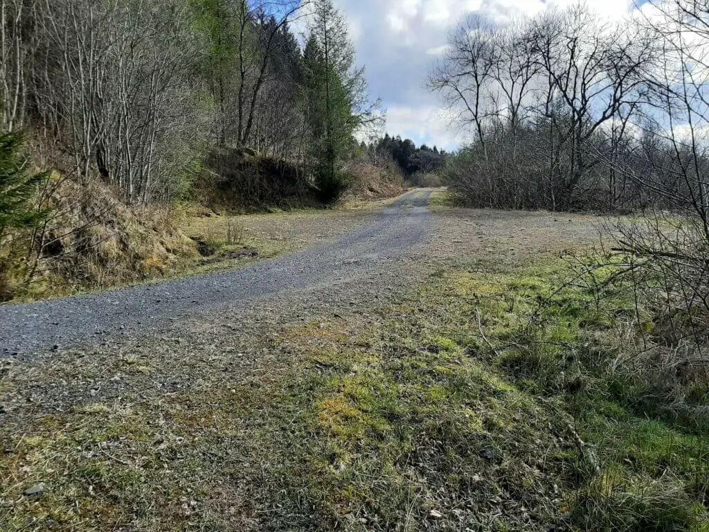
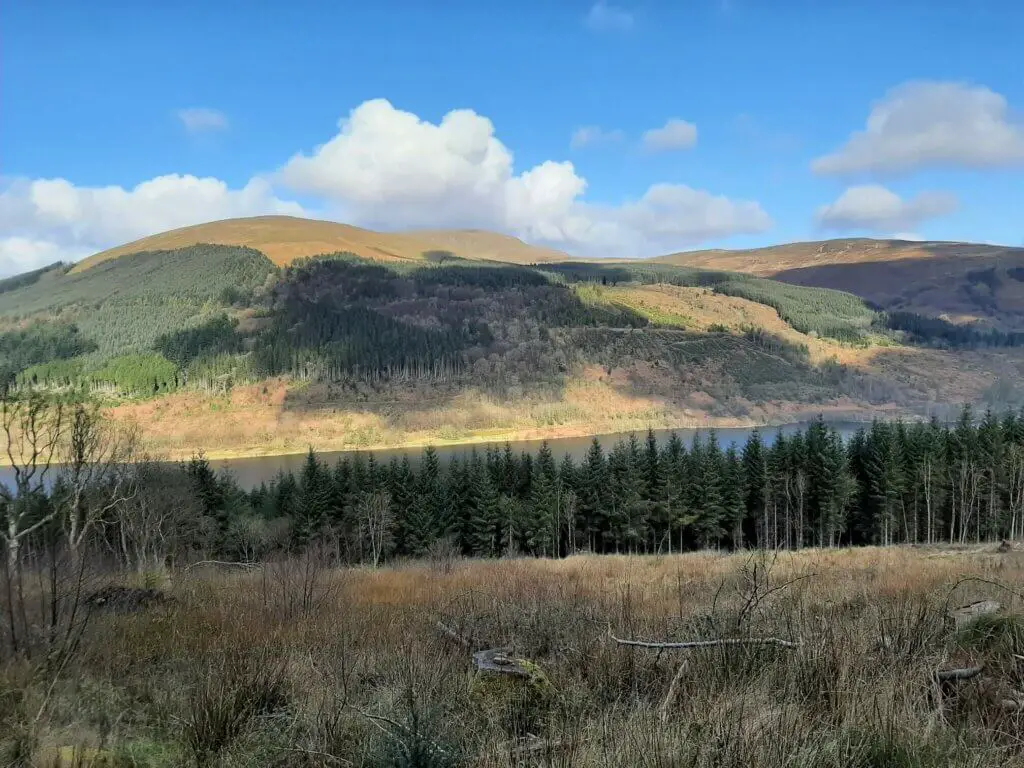
Turn right and with a nice firm trail underfoot, you can now focus your energy on the variety of excellent views of the reservoir from this westerly location.
You simply remain on this trail for just over 3 km, ultimately arriving back at the gate directly across the road from the parking area.
The Talybont Reservoir walk is complete!
Talybont Reservoir Walk – Our Thoughts
I have always loved the area around Talybont Reservoir owing to its relative remoteness. It is so quiet and peaceful and the nature is simply stunning.
The Talybont Reservoir walk does a great job of allowing you to witness all the wonderful aspects of this location along the 11 km circular route.
You firstly get to enjoy the reservoir up close with the steep forest-clad slopes rising steeply from the valley floor. It’s then on to the trail through the forest itself, accompanied by the endless chorus of birdsong.
Finally, you get to witness the beauty of the reservoir and surrounding peaks from up on high, offering a whole new viewing perspective.
Don’t be fooled by the term ‘reservoir walk’ into thinking that this is little more than a saunter around a reservoir because it is much more than that.
This is a proper hike, requiring hiking boots and a fair expulsion of energy. But what you get back is some of the most beautiful scenery the Brecon Beacons National Park has to offer.
Talybont Reservoir Walk – Q & As
How long does the walk take?
It took me 3.5 hours to complete with limited stops along the way. It could easily take up to 4 hours for a more leisurely experience.
How far is the walk?
6.84 miles (11 km)
How difficult is the walk?
I would consider this to be a moderately difficult hike as there are significant ascents on either side of the reservoir. What’s more, parts of the trail on the east side are very rocky making it show going in places.
What other hiking trails are nearby?
If you are on the lookout for a challenging hike that includes the summit of Pen y Fan, the Brecon Beacons horseshoe ridge walk could be perfect for you.
The Neuadd car park is the ideal starting point for this hike and is located approximately 6 miles to the west of Talybont Reservoir.
Another great hiking opportunity in close proximity to Talybont Reservoir is the Talybont Waterfalls walk. This starts from the Blaen y Glyn Uchaf car park which is just 4 miles west of Talybont Reservoir.
Of course, if reservoir walks are more your thing, you also have the Pontsticill Reservoir walk a little more than 6 miles by road to the southwest.
Additionally, there is the Usk Reservoir walk near Trecastle in the north-western section of the Brecon Beacons National Park.
Interested in experiencing some Talybont Reservoir fishing?
If you fancy partaking in fishing at the reservoir, you will need to contact Merthyr Tydfil Angling Alliance. For further information about fishing at this location, check out the Talybont Reservoir fishing details page.
Have you experienced this walk?
If you have, please share your experience with us and our readers. If you have any questions that we have not answered here, please let us know and we will get back to you just as quickly as we can.
Like Our Article? Please Pin it!
Leave a Reply