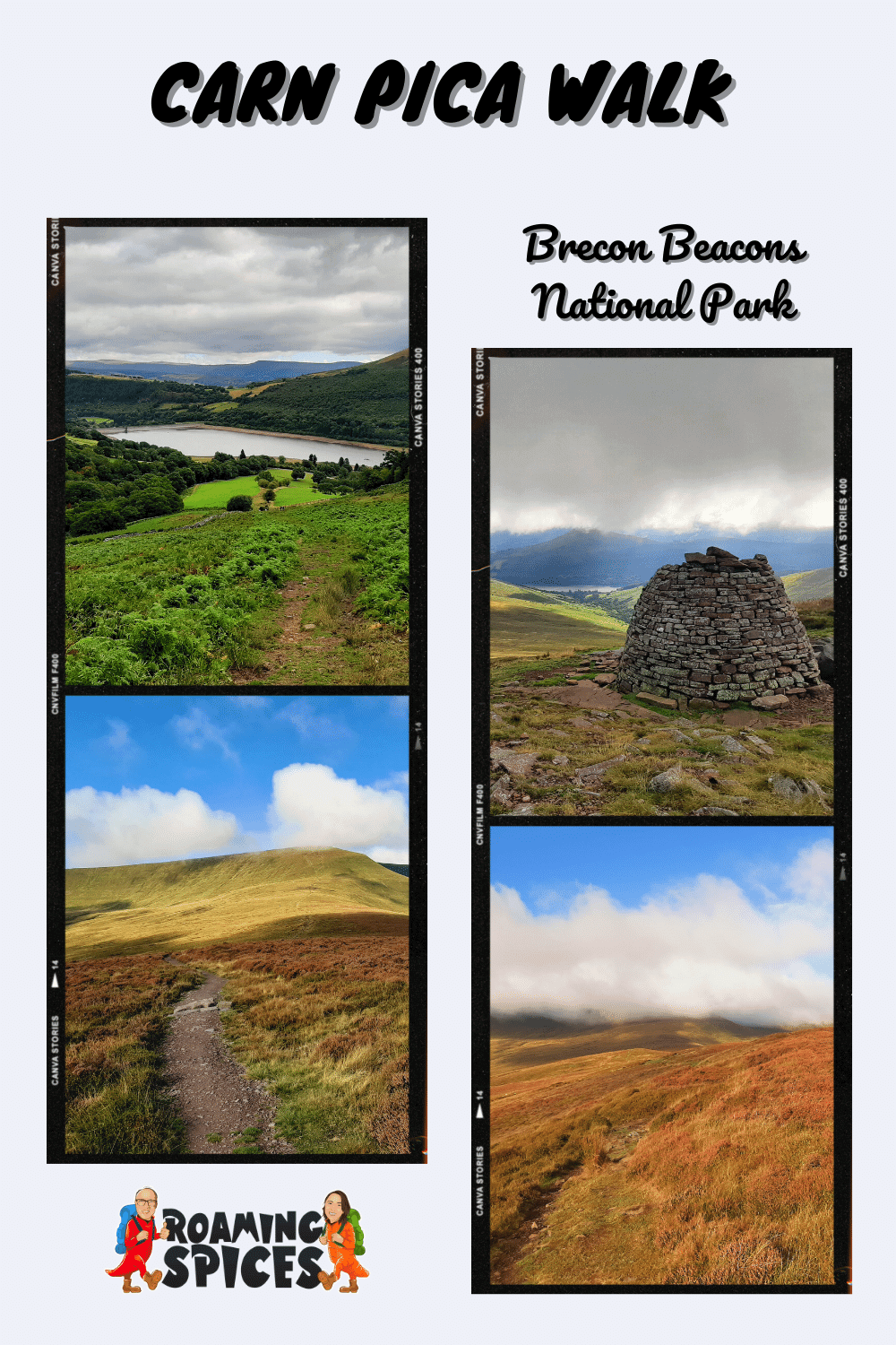
Brecon Beacons National Park
The Carn Pica Walk is a moderately challenging trail exposing you to many of the dramatic valleys and peaks of the central Brecon Beacons
Carn Pica Circular Walk
The Brecon Beacons National Park has an abundance of incredible peaks, many of which are worth exploring – one of the less well-known is Carn Pica.
A real perk of this summit hike is that there is no easy way to get to it, meaning that you may have this one all to yourself! You can approach it from the north via the summits of Bryn and Waun Rydd or from the west by way of Pen y Fan, Cribyn and Fan y Big.
I opted to commence the Carn Pica walk from the shores of Talybont Reservoir to experience the hefty ascent, coupled with the wide variety of dramatic and breathtaking views.
Where is Carn Pica?
Carn Pica lies approximately 3.73 miles (6 km) southeast of Pen y Fan and 1.86 miles (3 km) west of Talybont Reservoir in the central Brecon Beacons. The summit of Carn Pica appears on this map with an orange mountain symbol.
Where to park for the Carn Pica walk?
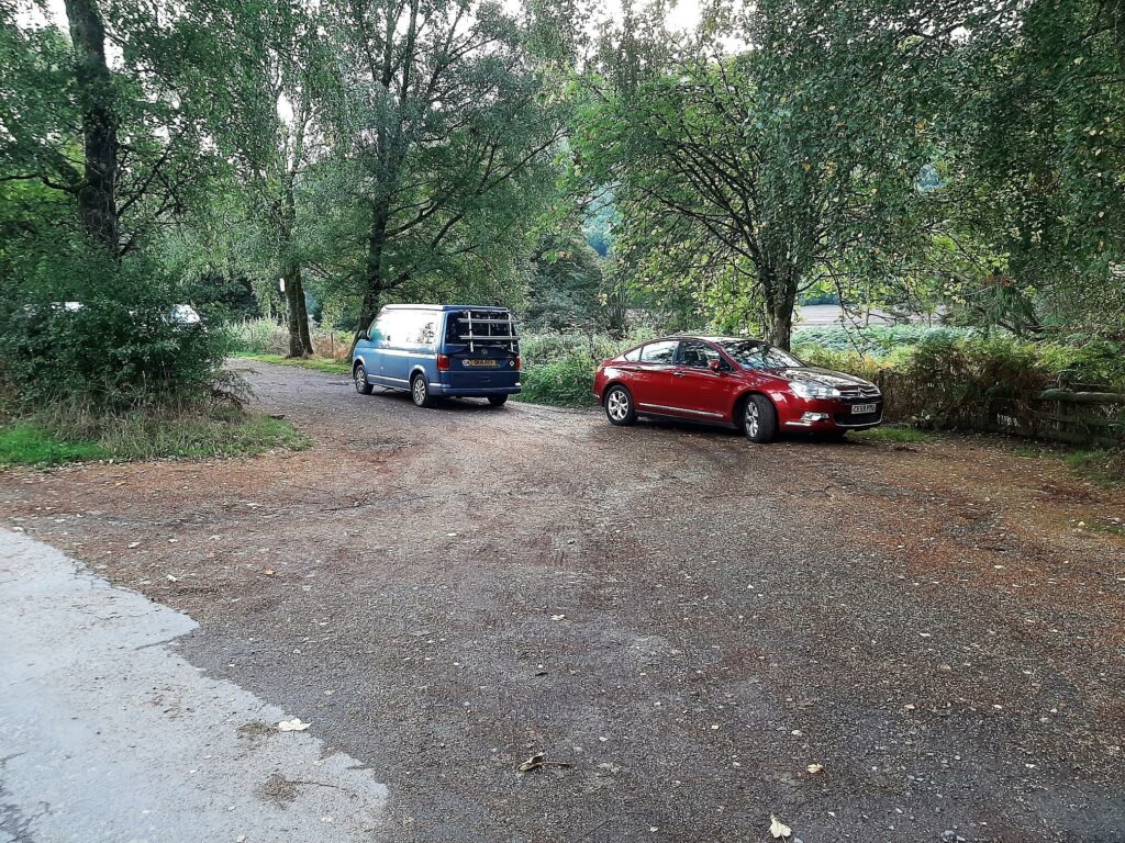
There is a small but ideally located parking area on the western side of Talybont Reservoir, highlighted on this map.
How to get to Carn Pica?
From the A470, head east on the A465 for approximately 300 metres. Then, turn left onto Grawen Lane and, at the junction, turn left and immediately right onto Vaynor Road. Now, continue for 5.1 miles, past Pontsticill Reservoir, turning left (signposted Talybont-on-Usk).
In 1.1 miles, turn right (signposted Talybont-on-Usk). From this point, continue for 5.2 miles when you arrive at the small parking area on your right, alongside Talybont Reservoir.
- Grid Reference: SO099196
- Latitude, Longitude (decimal): 51.868530 , -3.3090350
- Carn Pica parking area postcode (nearest): LD3 7YS
- What3Words
- Google Map
- Additional Location Details (Click on the map pointer for more information)
Carn Pica Walk Description
Endless Gates
From the parking area, head north along the country road for approximately 200 metres.
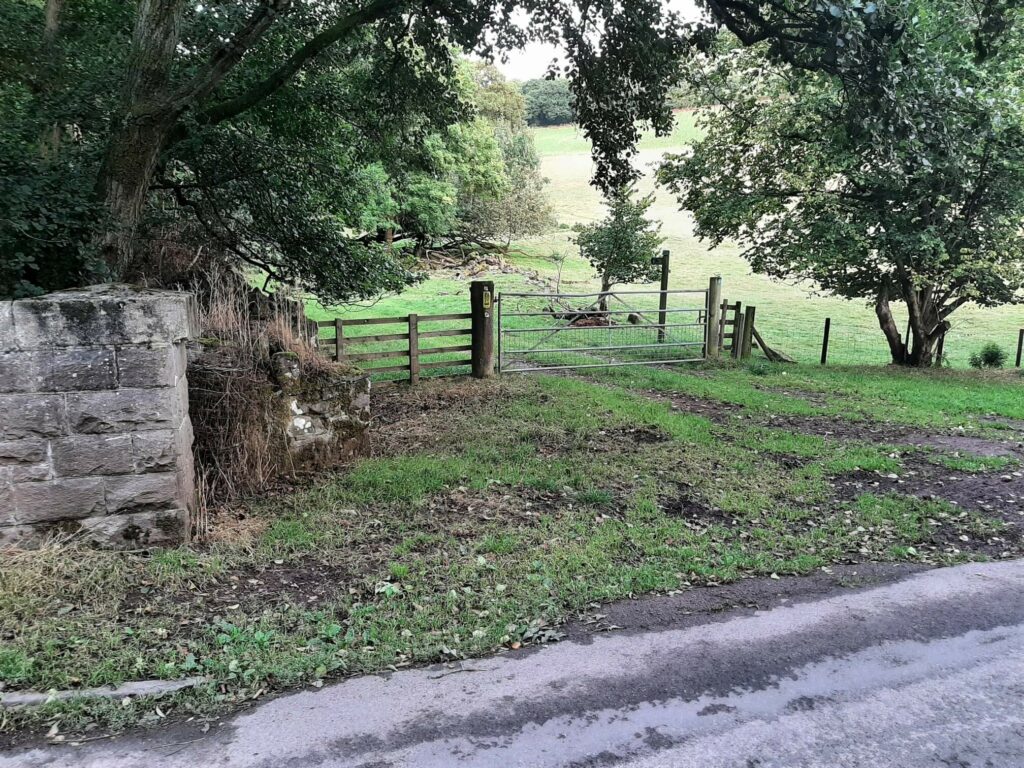
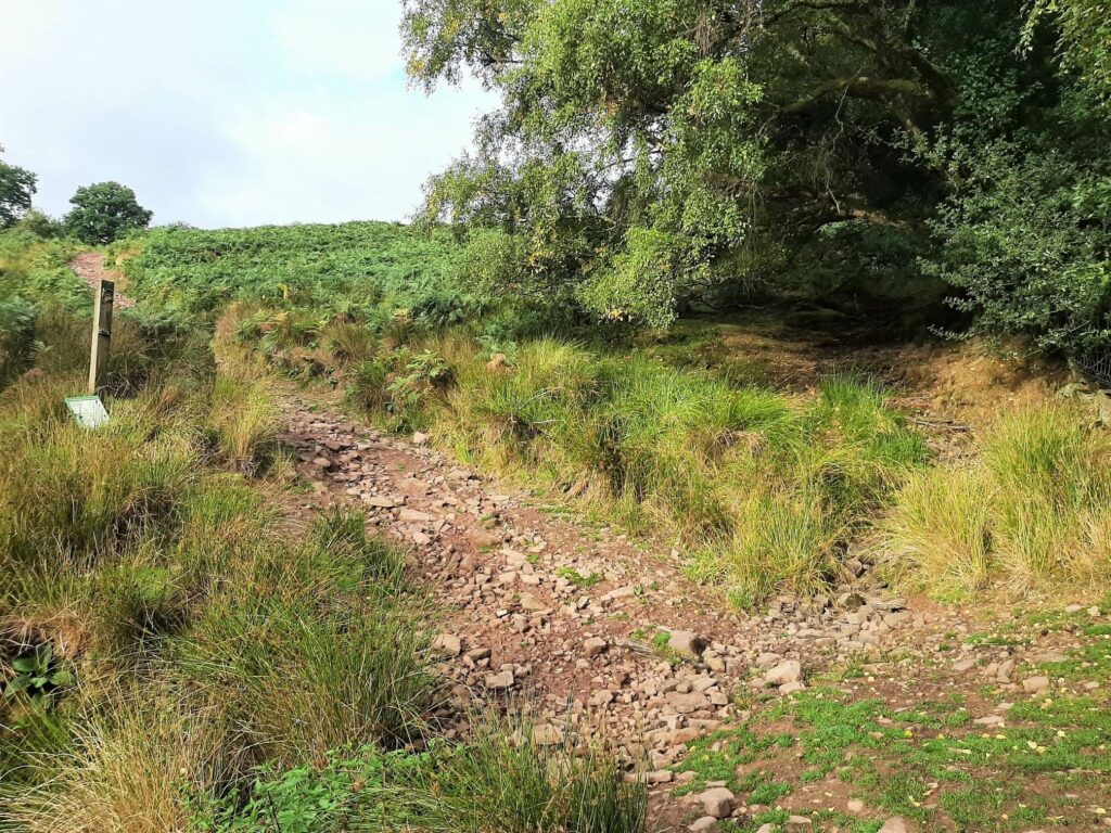
Immediately after the road crosses the small stream (Nant Tarthwynni), turn left through the first of many gates during this initial section of the Carn Pica walk.
Around 50 metres into the field, turn right and follow the trail through two more gates, close to one another. Then, cross the field to another gate shortly before passing a white stone house off to the left.
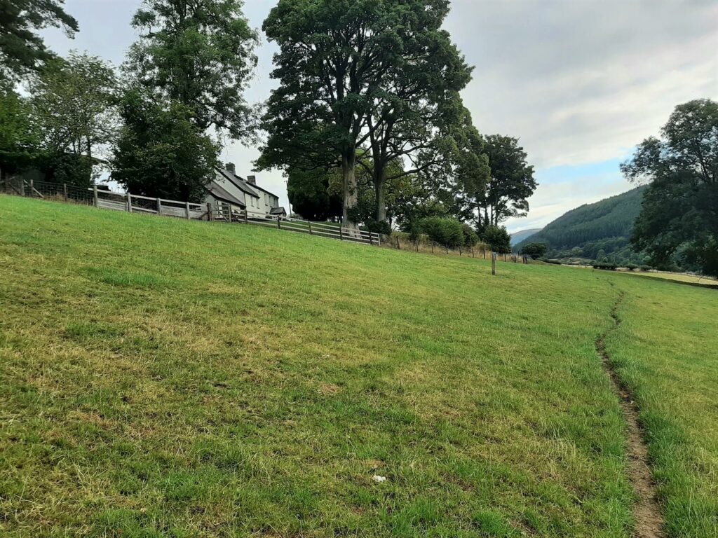
Soon after, pass through two more gates, crossing a driveway, in the process, and enter the field directly ahead of you.
Continue ahead, passing through the gate at the top, leading into a small wooded area. Now, continue straight for about 60 metres and then through the gate on the right.
Cross the field through gate number nine and turn left, along this tree-lined track for approximately 200 metres, where you will arrive at gate number ten.
Thankfully, this is the last of the gates during the climbing portion of the Carn Pica walk!
Steep Climb to Twyn Du
Now it’s time to put your fitness to the test as the trail winds its way up the steep, bracken blanketed flanks of Twyn Du. In fact, over the next 660 metres, you will experience a gain of 100+ metres in elevation.
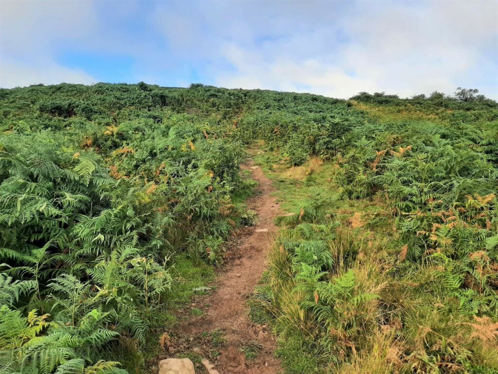
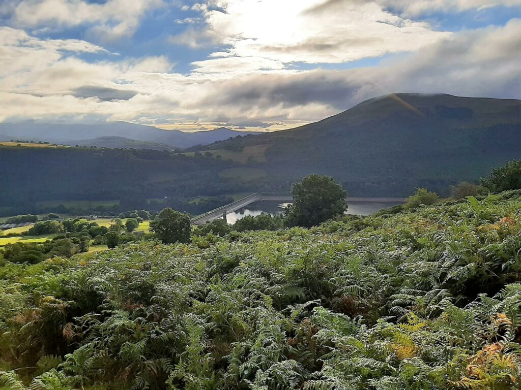
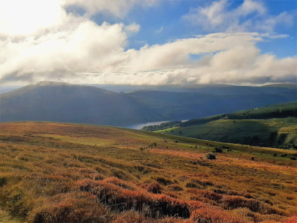
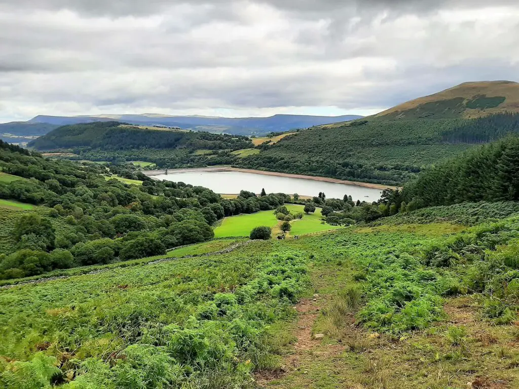
As you progress, the trail becomes less steep, eventually flattening as you reach the Twyn Du ridge. Here, you will almost certainly be ready for a breather, giving you a chance to enjoy the wide-ranging views back to the east.
In the foreground sits Talybont Reservoir, with Tor y Foel rising sharply behind. Then, further to the east is the distinctive conical-shaped Sugarloaf Mountain, in addition to many other peaks of the Black Mountains.
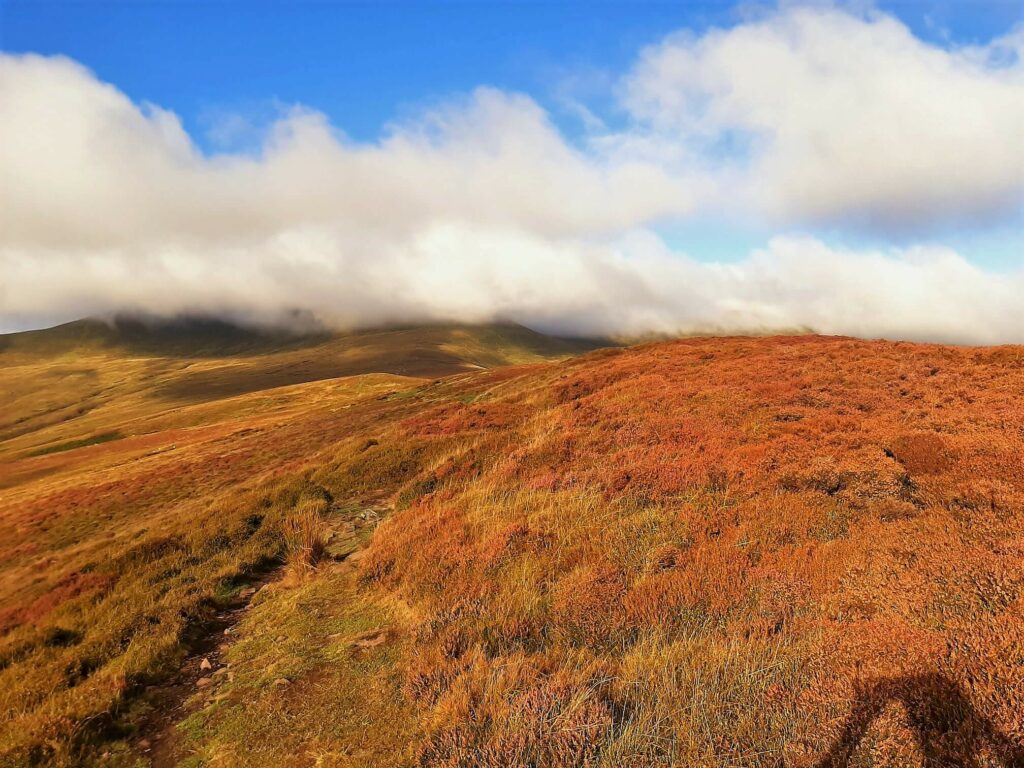
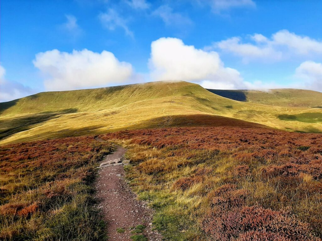
The bracken-coated mountainside now gives way to a carpet of heather. For approximately 800 metres, you can enjoy this relatively flat section along the Twyn Du ridge in preparation for the final steep ascent to Carn Pica.
Carn Pica
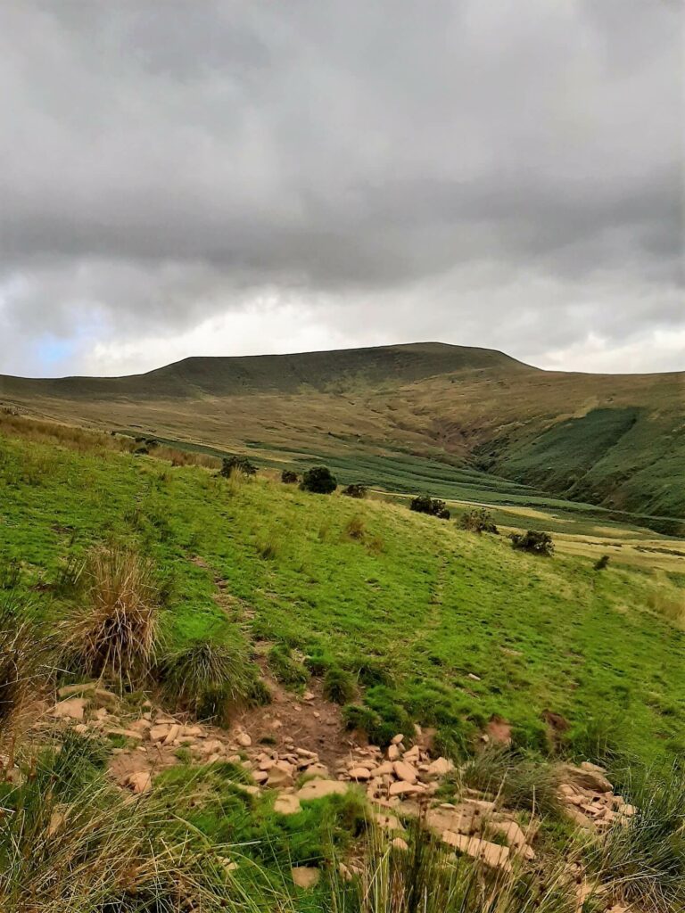
Approximately 1.1 km from the summit of Carn Pica, the final ascent commences, gradual at first. However, the path soon steepens as the dirt trail makes way for a purpose-built rock path to aid the steep climb up the slopes of Craig y Fan.
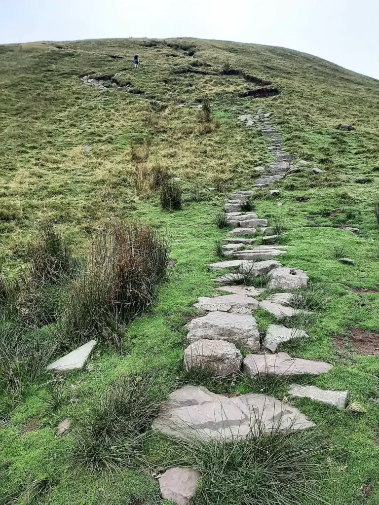
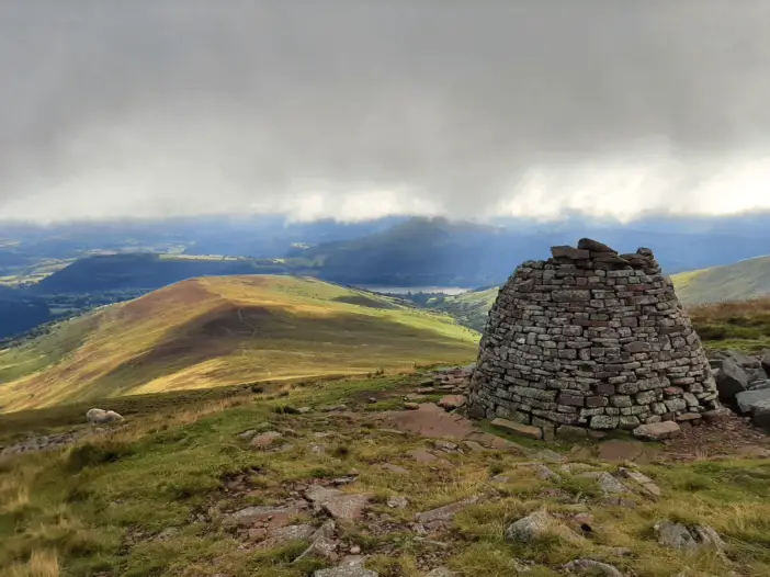
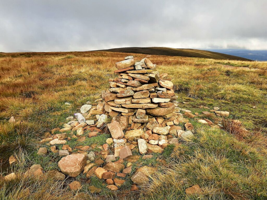
In the last 300 metres of the ascent alone, there is an elevation gain of around 100 metres. Upon reaching the 750-metre summit of Carn Pica, you will find a large stone cairn a short distance back from the escarpment edge.
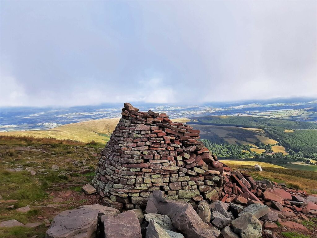
This summit is an excellent spot for enjoying a well-earned rest following the testing climb, especially if you have picked good weather to enjoy the Carn Pica walk.
From here, you have an abundance of wide-ranging views to enjoy. To the east, you can see Talybont Reservoir at the end of the Nant Tarthwynni Valley; to the north is the town of Brecon and Llangorse Lake, and the Black Mountains are off to the northeast.
Waun Rydd
Once you have enjoyed the splendid vistas, continue to follow the trail in a westerly direction across the flat, boggy, nondescript plateau. In approximately 350 metres is the modest stone cairn marking the summit of Waun Rydd.
Waun Rydd sits at 769m (2,523 ft) above sea level, only a few kilometres east of the central peaks of the Brecon Beacons.
Allt Lwyd
From Waun Rydd, head in a south-easterly direction across the marshy plateau. Initially, there is no discernible path, so you may wish to keep your eyes on your hiking app to ensure that you stick to the track.
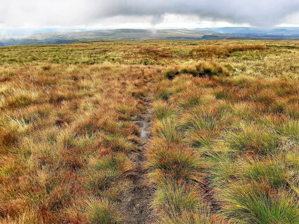
After approximately 500 metres, you will arrive at the edge of the sheer slopes of Craig y Fan. At this point, the ridge narrows with steep drop-offs into the valleys on either side, whilst the trail descends sharply towards the subsidiary peak of Allt Lwyd.
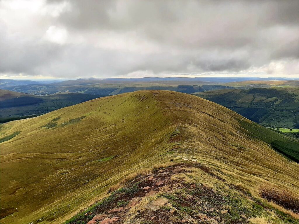
Soon after reaching the 653-metre dome-shaped summit of Allt Lwyd, the trail swings to the northeast and begins a further steep descent towards the valley.
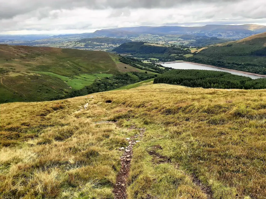
Keep tracking towards the left-hand edge of Talybont Forest, and you will not go far wrong.
Picturesque Valley Return
Upon reaching the forest edge, negotiate two more gates and then continue as the trail slides gently towards Talybont Reservoir directly ahead.
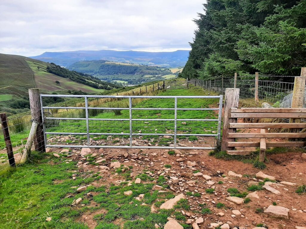
Eventually, you encounter two more gates, a few hundred metres apart, which lead you back to the small country road and the car park is directly in front of you.
The Carn Pica walk is complete!
Carn Pica Walk – Our Thoughts
Having enjoyed numerous hikes in the vicinity of Talybont Reservoir, I am constantly drawn back to this location because of its beauty and the number of hiking trails available.
Undoubtedly, the Carn Pica walk is another fine example of a super mountain hike, highlighting the many wonders of the Brecon Beacons National Park.
Additionally, if you are looking for a challenging hike, the 550-metre elevation change between the parking area and the summit should fit your criteria!
Carn Pica Walk – Q & As
How far is the Carn Pica walk?
5.53 miles (8.9 km)
How long does the Carn Pica walk take?
3.5 – 4 hours
Is the Carn Pica walk difficult?
Yes. I would label this hike as a moderately challenging walk.
Can you take dogs on the Carn Pica walk?
You can bring your dog on this hike, but please abide by the Brecon Beacons dog code.
What other hiking trails are there in the vicinity?
In addition to the Carn Pica walk, there are plenty of other beautiful hikes that we have experienced close to Talybont Reservoir. They are:
- Brecon Beacons Horseshoe Ridge walk
- Pontsticill Reservoir walk
- Talybont Reservoir walk
- Talybont Waterfalls walk
- Tor y Foel walk
Have you experienced this trail?
If you have, please share your experience with our readers and us. If you have questions we have not answered here, please let us know, and we will get back to you as quickly as possible.
Like Our Article? Please Pin it!
Leave a Reply