Grand Canyon National Park, North Rim
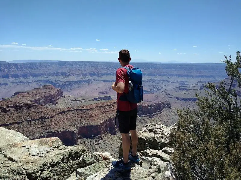
The Cape Final Trail is a relatively flat, out-and-back forest hike culminating in a sweeping 270° panorama over the eastern Grand Canyon National Park
Hiking the Cape Final Trail
There are several beautiful viewpoints along the North Rim of the Grand Canyon and Cape Final is one of the very best. However, a 4.10-mile (6.6 km) round-trip hike is necessary to appreciate this viewpoint.
The trail is relatively flat and passes through pine forest for the most part, ultimately breaking out at Cape Final with views that are hard to match.
Where is the Cape Final Trail?
Cape Final Trail is located at the North Rim of the Grand Canyon National Park, 2.59 miles (4 km) north of the parking lot at Cape Royal. The exact location of the trailhead and Rim vista can be seen on this map.
Where to park for the Cape Final Trail?
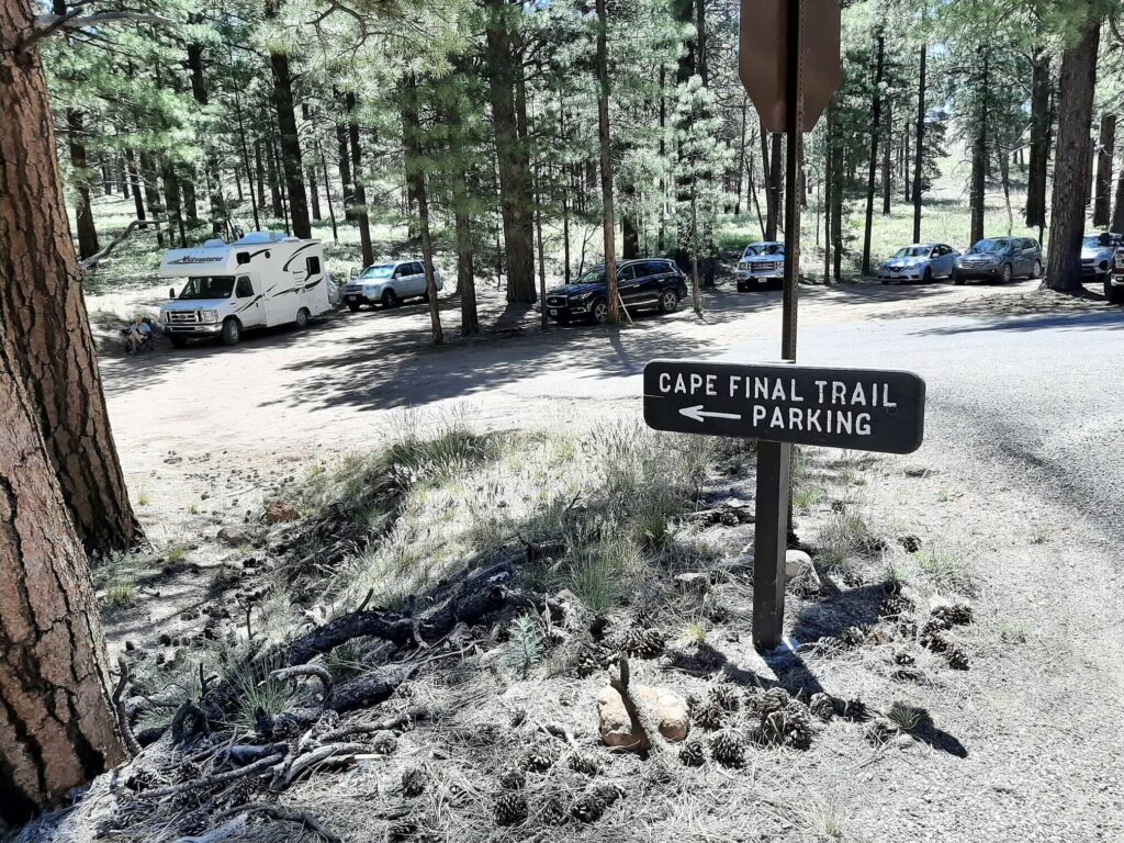
A dedicated trailhead car park is located in a clearing in the woods, immediately off Cape Royal Road. This is highlighted on this map with an orange ‘P’.
How to get to the trailhead?
Upon joining Arizona State Route 67, head south for 41.26 miles (66.4 km). Then, turn left onto Cape Royal Road and continue for 5.41 miles (8.7 miles). Turn right, continuing on Cape Royal Road for 11.93 miles (19.2 km). Here you will find the relatively small Cape Final trailhead parking area on the left-hand side of the road.
Parking Lot Location Details
- Latitude, Longitude (decimal): 36.1458291, -111.9354203
- What3Words
- Google Map
Cape Final Trail Description
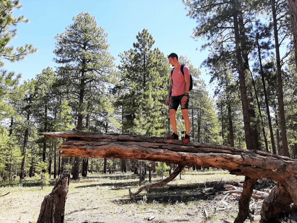
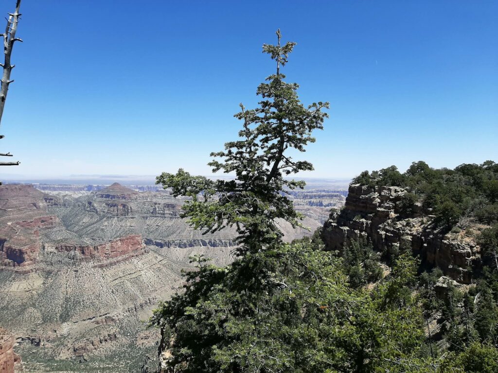
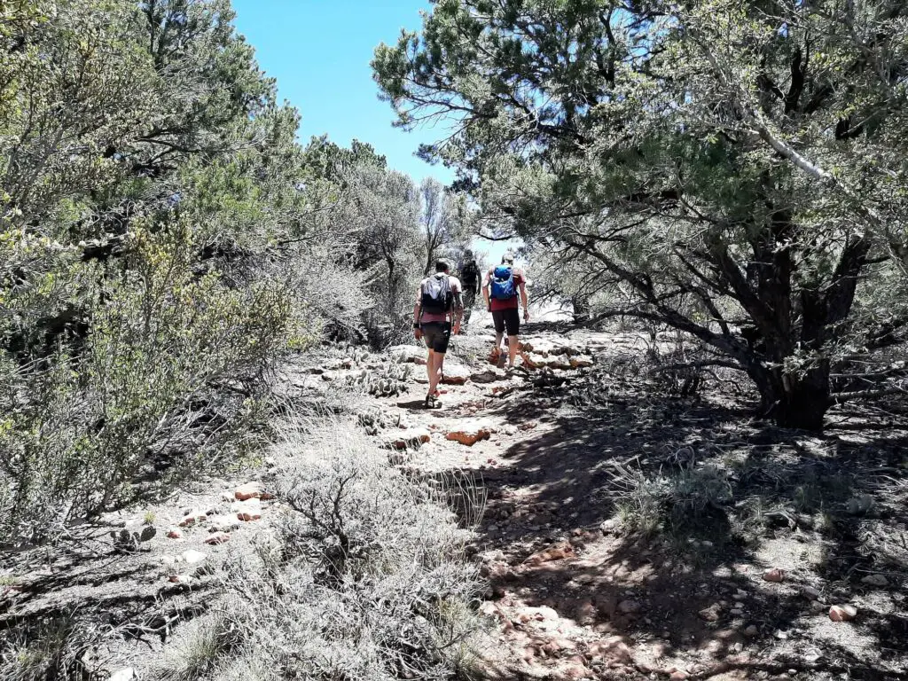
Upon leaving the car park, the Cape Final Trail heads east along an obvious dirt path through a pleasant forest comprising tall ponderosa pines and sporadic clearings sprinkled with shorter oaks and juniper.
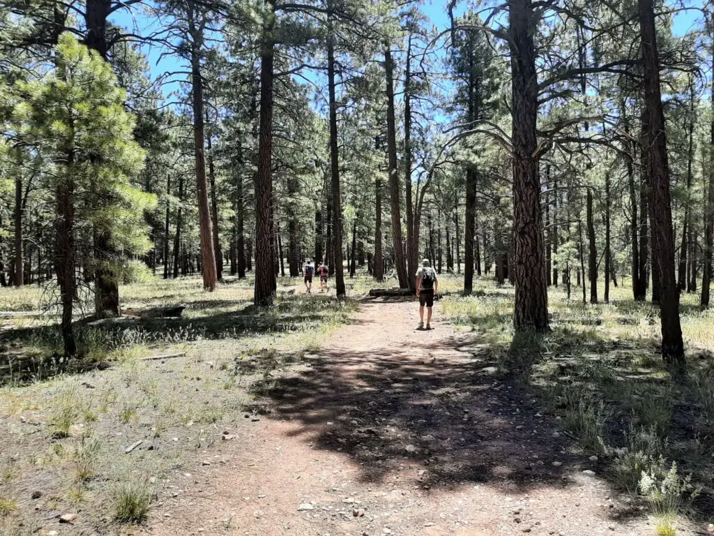
The path is relatively flat, meandering through the well-spaced trees, offering much-needed sun protection.
After hiking for approximately 1.24 miles (2 km), you receive your first glimpse of the stunning North Rim views as the path nears the plateau’s edge.
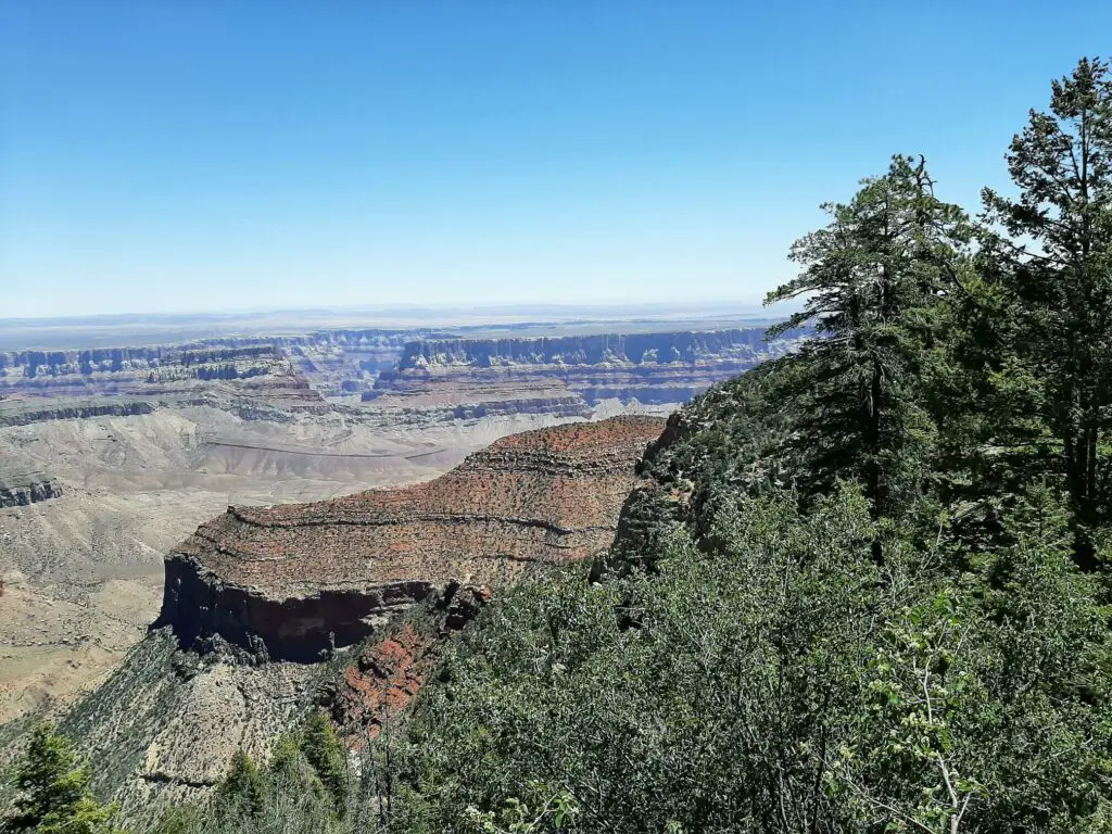
The Cape Final Trail now swings to the southeast and away from the Rim’s edge, continuing through more open woodland. The final stretch leads you down a slight slope, through a collection of bushes and smaller trees.
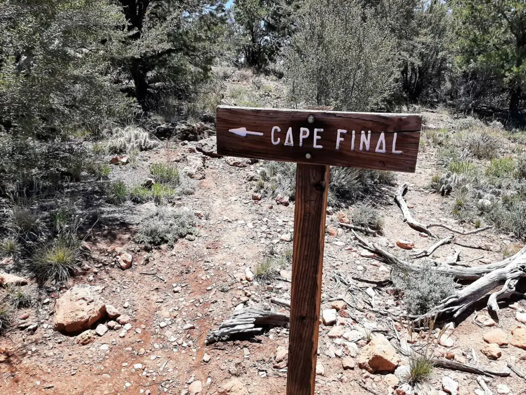
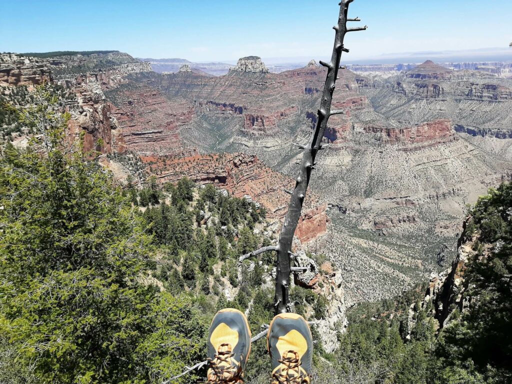
When you catch sight of the Cape Final signpost, you are just about there. Now, there is one last gentle climb between several large boulders to the dramatic Cape Final vista.
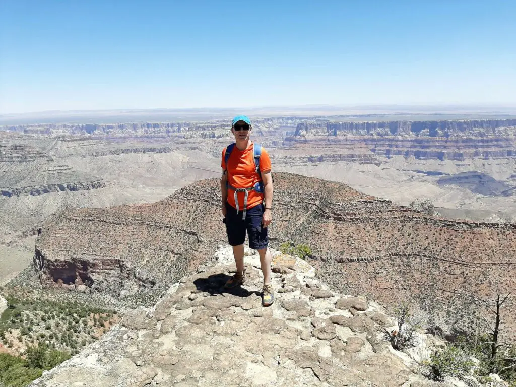
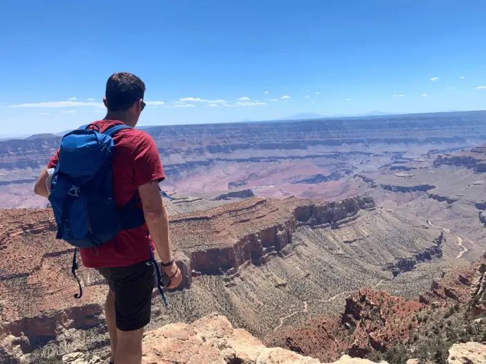
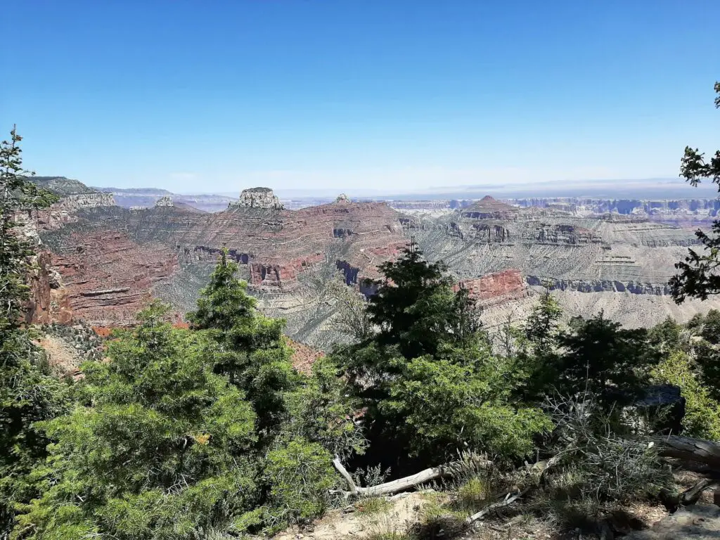
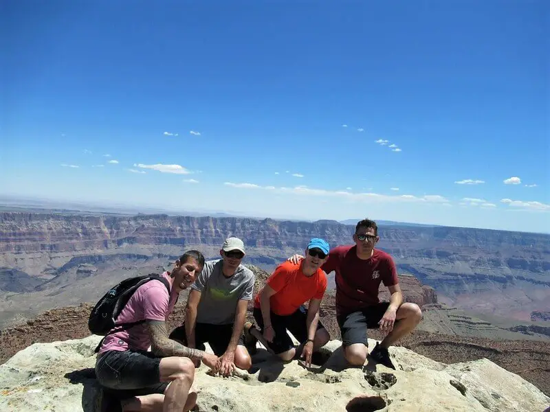
What’s on view from Cape Final
The views from Cape Final are both dramatic and sprawling, with highlights including Vishnu Temple, Juno Temple, Jupiter Temple, and the Palisades of the Desert.
Cape Final Trail – Our Thoughts
Despite its unusual name, the Cape Final Trail on the North Rim of the Grand Canyon should not be ignored on your visit to the Rim.
The hike through the tall ponderosa pines is relaxing and shady and starkly contrasts the breathtaking scenery that awaits you at Cape Final. The sweep of the Canyon laid out before you from Cape Final makes it a worthwhile destination for those visiting the North Rim.
What’s more, if you are looking for a more peaceful and less trafficked route than, for example, the more accessible Bright Angel Point Trail, this is certainly one for you.
Cape Final Trail – Q & As
How long is the Cape Final Trail?
4.10-mile (6.6 km)
What is the hike time?
Approximately 2-3 hours
Is this a challenging hike?
No. The Cape Final Trail is a relatively flat and easy hiking route.
How did Cape Final get its name?
The US geologist Clarence Dutton named the point in 1880 following a horseback ride that took him to the easternmost point of the Walhalla Plateau on the Rim. Dutton stated, “Point Final is doubtless the most interesting spot on the Kaibab.”
When is the best time of year to visit the Grand Canyon North Rim?
Spring and fall are usually the best times to visit the Grand Canyon, as the daytime temperatures are more tolerable and the visitor numbers are lower.
Also, remember that the North Rim is closed to vehicular traffic from the beginning of December until the middle of May. Keep tabs on the National Park Service website for the exact opening dates.
Are dogs allowed at the Grand Canyon North Rim?
Dogs are permitted at the North Rim but not below the rim itself. Therefore, leaving your pooch at home is probably best if you plan on hiking. Check out the National Park Service website for further details on their pet policy.
You can take your leashed pet on the Bridle Trail (greenway) that connects the North Kaibab Trail, and the portion of the Arizona Trail north of the park entrance station. There are no Kennel facilities at the North Rim.
Have you experienced this trail?
If you have, please share your experience with our readers and us. Please let us know if you have any questions we still need to answer, and we will get back to you as quickly as possible.
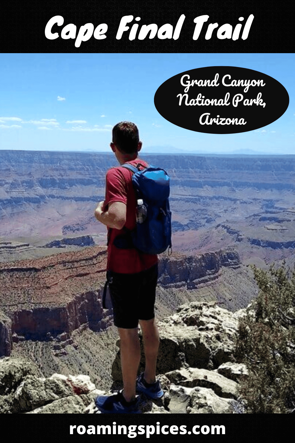
Like Our Article? Please Pin it!
Leave a Reply