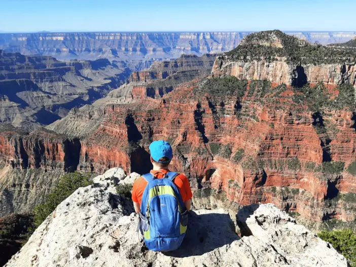
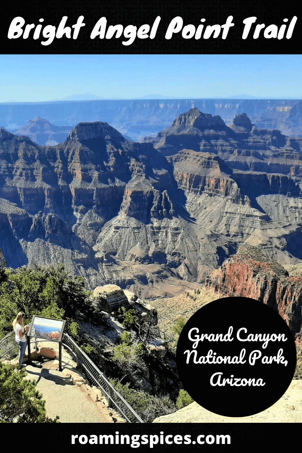
Grand Canyon National Park, North Rim
The Bright Angel Point Trail is short, easy and offers breathtaking views of the Grand Canyon that will certainly last long in your memory
Short, easy hike to Bright Angel Point
The Bright Angel Point Trail leads to the most popular viewpoint anywhere on the North Rim of the Grand Canyon. In fact, many visitors only visit Bright Angel Point as it is close to the visitor centre, and the other popular viewpoints involve much longer drives.
However, if this is the only attraction you visit, it is safe to say that you will not be disappointed, as the views at the end of this short, paved trail are simply magnificent!
Where is the Bright Angel Point Trail?
The Bright Angel Point Trail is situated near the Grand Canyon North Rim visitor centre at the southern end of Highway 67. Check out its precise location on this Google map.
Where to park for the Bright Angel Point Trail?
A large car park is located adjacent to the visitor centre, which is perfect for this trail. The car park is highlighted on this map with an orange ‘P’.
How to get to the trailhead?
Whether you are heading to the North Rim of the Grand Canyon from the east or the west, you will be approaching via U.S. Route 89A.
Next, head south on Arizona State Route 67 at Jacob Lake and continue for 43.4 mi (69.8 km). The car park is at the end of this road.
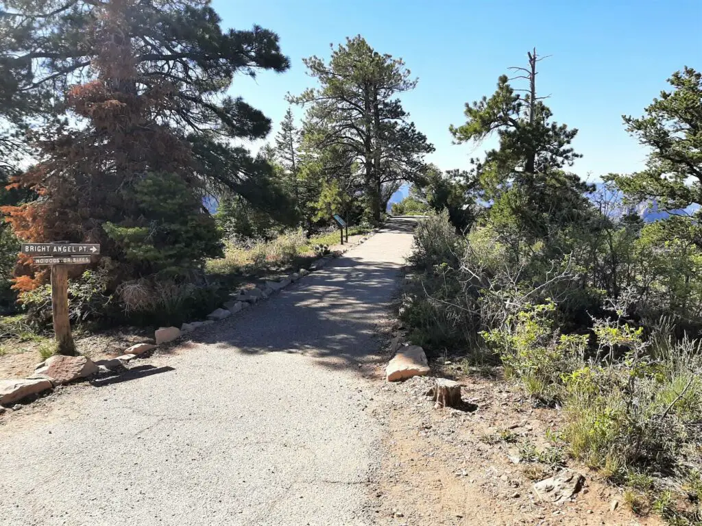
There are two starting points for the Bright Angel Point hike; one is at the southern end of the parking lot, leading to the left of the visitor centre; the other is located immediately behind the Grand Canyon Lodge at its junction with the Transept Trail.
Parking Lot Location Details
- Latitude, Longitude (decimal): 36.199426, -112.052142
- What3Words
- Google Map
Bright Angel Point Trail Description
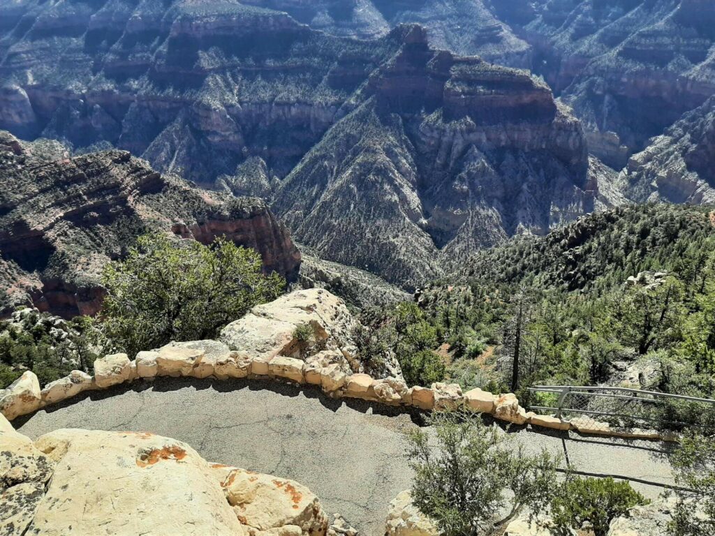
Take the path at the southern end of the North Rim parking lot, passing through the woods to the left of the visitor centre and log cabins. In a little over 200 metres, the dirt track gives way to a narrow paved trail marked with a signpost for Bright Angel Point.
Approximately 95 metres along the trail, a path joins from the right. This leads to the other official starting point for the Bright Angel Point Trail. It is worth venturing along this section of the trail, as there are a couple of excellent viewpoints here as well.
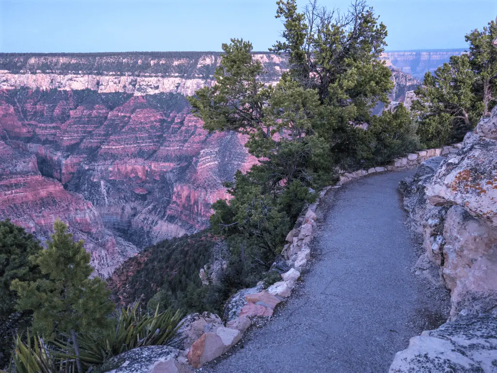
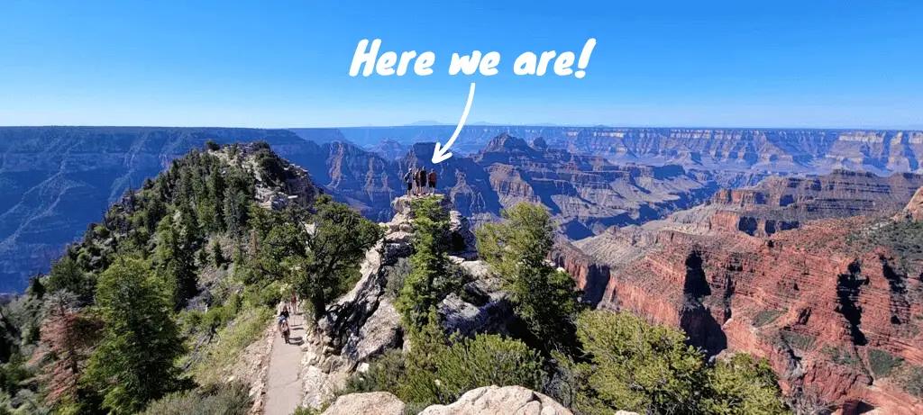
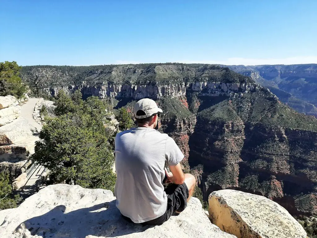
Progressing along the trail, the promontory begins to taper as you near Bright Angel Point, and you will experience some breath-sapping drop-offs on either side.
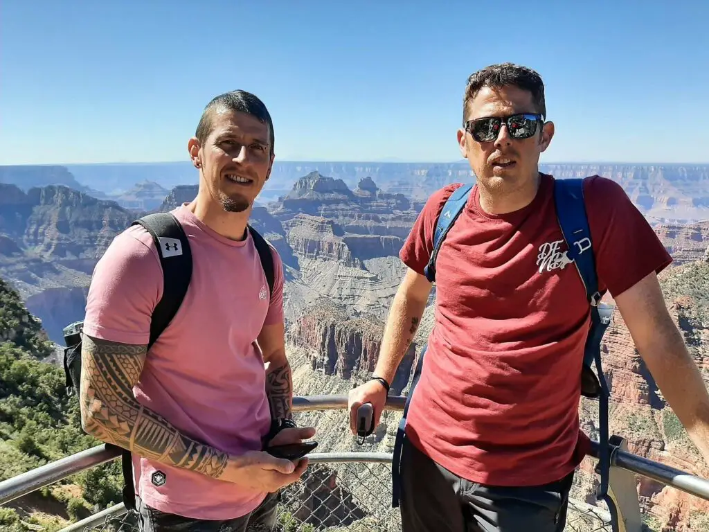
The views at Bright Angel Point are generally spectacular, although those to the south are slightly obscured by the rocky outcrops that sit behind the safety rail.
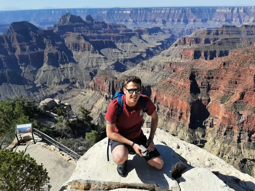
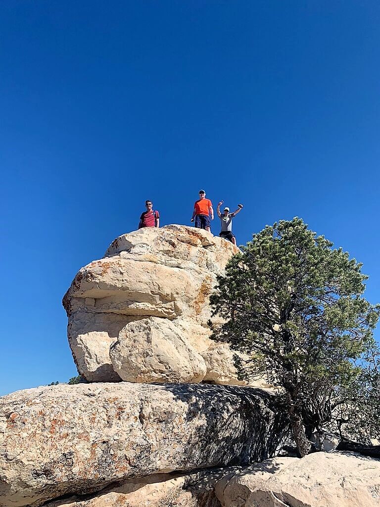
However, if you feel brave and have a head for heights, climb the small limestone knoll just before the trail’s end to enjoy even better views.
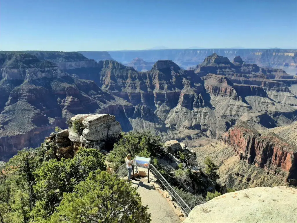
What views are on offer from the Bright Angel Point Trail
To the west lies the river valley known as the Transept, beyond which Oza Butte rises sharply to its peak of 2460 m (8071 ft).
Roaring Springs Canyon is immediately east of Bright Angel Point Trail, with the high-level Walhalla Plateau occupying most of the eastern aspect.
Bright Angel Canyon is a short distance to the south, sliding away to the southwest, beyond which lies the perfectly flat Coconino Plateau. Hugging the horizon are the distant San Francisco Peaks, located north of Flagstaff, Arizona.
Bright Angel Point Trail – Our Thoughts
This trail is perfect if you are looking for spectacular views of the Grand Canyon North Rim with minimum fuss.
Bright Angel Point is the easiest to reach of the North Rim overlooks and, coupled with its proximity to the Visitor Centre, also makes it the most popular.
It is a nice, easy trail with plenty of wow factor. If this is the only trail and viewpoint you experience at the North Rim, I do not doubt you will leave the Grand Canyon feeling satisfied!
Bright Angel Point Trail – Q & As
How long is Bright Angel Point Trail?
0.86 miles (1.4 km) total distance (out & back)
What is the hike time?
30-60 minutes
Is this a challenging hike?
No. This is a short, easy hike along a paved trail.
When is the best time of year to visit the Grand Canyon North Rim?
Spring and fall are usually regarded as the best times of year to visit the Grand Canyon, as the daytime temperatures are more tolerable and the visitor numbers are lower.
Also, remember that the North Rim is closed to vehicular traffic from the beginning of December until the middle of May. Keep tabs on the National Park Service website for the exact opening dates.
Are dogs allowed at the Grand Canyon North Rim?
Dogs are permitted at the North Rim but not below the rim itself. Therefore, leaving your pooch at home is probably best if you plan on hiking. Check out the National Park Service website for further details on their pet policy.

Distance from Grand Canyon North Rim to other popular destinations:
Bryce Canyon (Utah): 159 miles (255.9 km)
Flagstaff (Arizona): 208 miles (334.7 km)
Las Vegas (Nevada): 266 miles (428.1 km)
Zion National Park (Utah): 122 miles (196.3 km)
Have you experienced this trail?
If you have, please share your experience with our readers and us. If you have any questions that we still need to answer, please let us know, and we will get back to you just as quickly as we can.

Like Our Article? Please Pin it!
Leave a Reply