Sequoia National Park
Take the short Moro Rock trail to the summit of this granite dome and witness the breathtaking panorama across the forests and peaks of Sequoia National Park
Short but Memorable Moro Rock Hike
In May 2022, I embarked on a 15-day, 3,100-mile USA road trip with Mark, Simon and Paul, three long-standing friends from the UK. The adventure took us across the States of California, Nevada, Utah and Arizona, giving us the opportunity to sample seven National Parks along the way.
Owing to the considerable distance involved and the number of locations we planned to visit, we had to be very selective when choosing the hiking trails and/or viewpoints to experience in each National Park.
When researching what to do in Sequoia National Park, we were looking for a trail/viewpoint that would give us a spectacular view across the National Park and the Moro Rock trail appeared to fit the bill.
What’s more, this trail was listed by many bloggers as one of the most popular and best hikes in Sequoia National Park.
Additionally, we chose to hike the Congress Trail so that we could experience the wonders of the incredible specimens that gave the National Park its name – the Giant Sequoias!
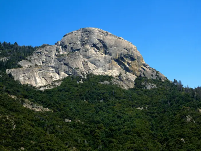
If you enter the National Park from the southerly Three Rivers entrance, the distinctive granite dome of Moro Rock sits high up ahead and you can’t help but imagine what it must be like to stand atop this geological giant. Soon, you will find out!
Where is Moro Rock?
Moro Rock is located right in the middle of Sequoia National Park, a short distance south of the Giant Forest Museum. Check out the granite dome’s exact location on this Moro Rock map.
Where to park for Moro Rock?
There is an 18-space parking area located right alongside the steps that lead to the summit of Moro Rock. There is also a larger car park across the Generals Highway from the Giant Forest Museum. These 2 parking options are highlighted with an orange ‘P’ on this map.
How to get to Moro Rock trail?
By Car:
If you are planning to visit Moro Rock anytime other than the summer months, then a car is a necessity as the free shuttle service will probably not yet be operational.
Take Crescent Meadow Road alongside Giant Forest Museum on to Moro Rock Loop Road. This will lead you to the most convenient parking area for the easy route up Moro Rock.
To grab one of the parking spots here, you had better arrive early and preferably on a weekday.
Please be aware that on weekends during the summer months, private vehicles are prohibited from using the access road to Moro Rock. The road does however remain open on weekdays.
If you fancy completing the full Moro Rock trail, the Giant Forest Museum car park is the ideal place to leave your vehicle. But again, arrive early to avoid disappointment.
By Shuttle:
Free shuttle buses operate from the Giant Forest Museum to the start of the easy Moro Rock trail during the summertime.
These buses typically run from late May to mid-September (approximately 0800-1800 depending on the route) in the Giant Forest area. Learn more about the Sequoia National Park shuttle buses.
You may wish to consider not bringing your car to the park at all by arriving on the Sequoia Shuttle. The service operates throughout the summer from a number of locations in California.
There are a number of convenient pickup points throughout Visalia, Exeter, Three Rivers, and Lemon Cove. The service runs several times a day, seven days a week.
Moro Rock Trail Description
The first thing I would like to point out is that the route I am describing here is not the full Moro Rock trail but the abbreviated version that delivers the ‘Wow’ factor without too much effort.
When time is of the essence which it certainly was during our trip, we had to select our trail lengths wisely!
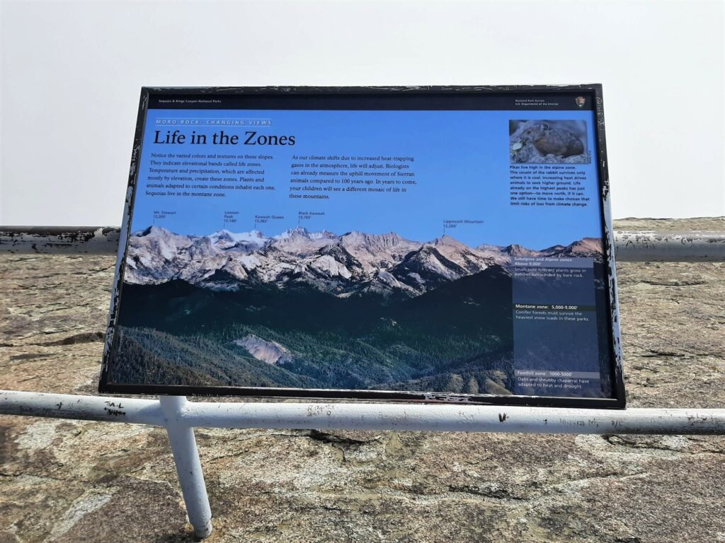
For those looking to complete the full trail, it starts adjacent to the Giant Forest Museum, just off the Generals Highway and is 3.79 miles (6.1 km) in total.
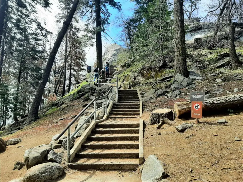
The short version of the Moro Rock trail commences from the southern end of the parking area alongside the shuttle bus stop. The trail consists of 350+ concrete steps that wind their way along and through parts of the granite dome all the way to its summit.
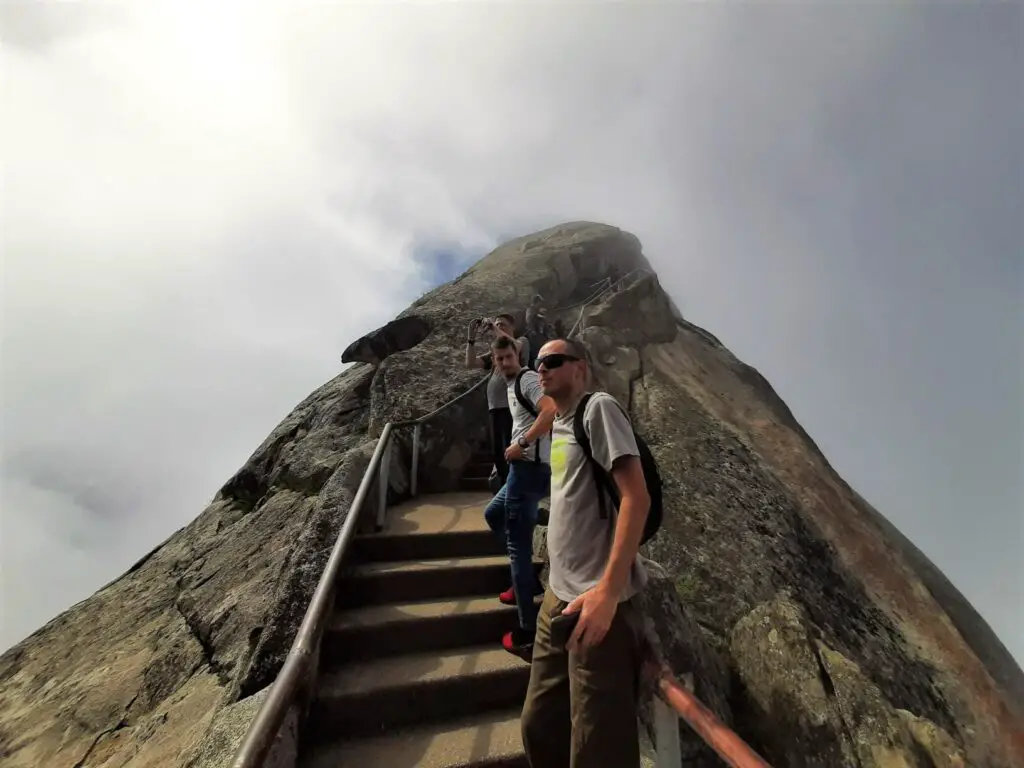
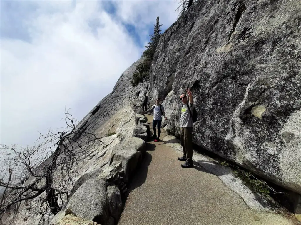
The 400-metre route to the top is a single track, for the most part, so you will almost certainly find yourself giving way to those travelling in the opposite direction from time to time.
You will find interesting information boards dotted along the route that are well worth reading, whilst giving your legs a rest before moving on once more.
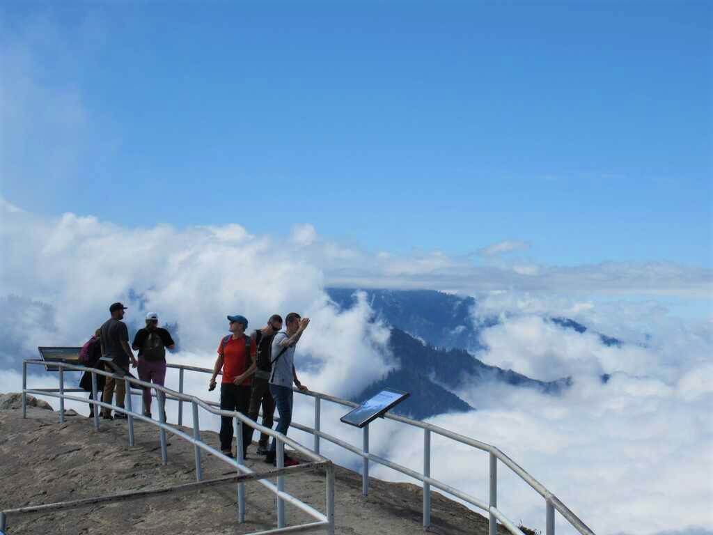
If you have picked yourself a clear weather day you will certainly be greeted by some special views upon reaching the summit.
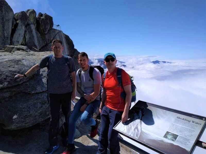
Out to the east are the formidable high peaks of the Sierra Nevada mountains (Great Western Divide); the Kaweah River meanders its way through the valley off to the southwest; and all but the highest peaks are blanketed with forest whichever way you turn your head.
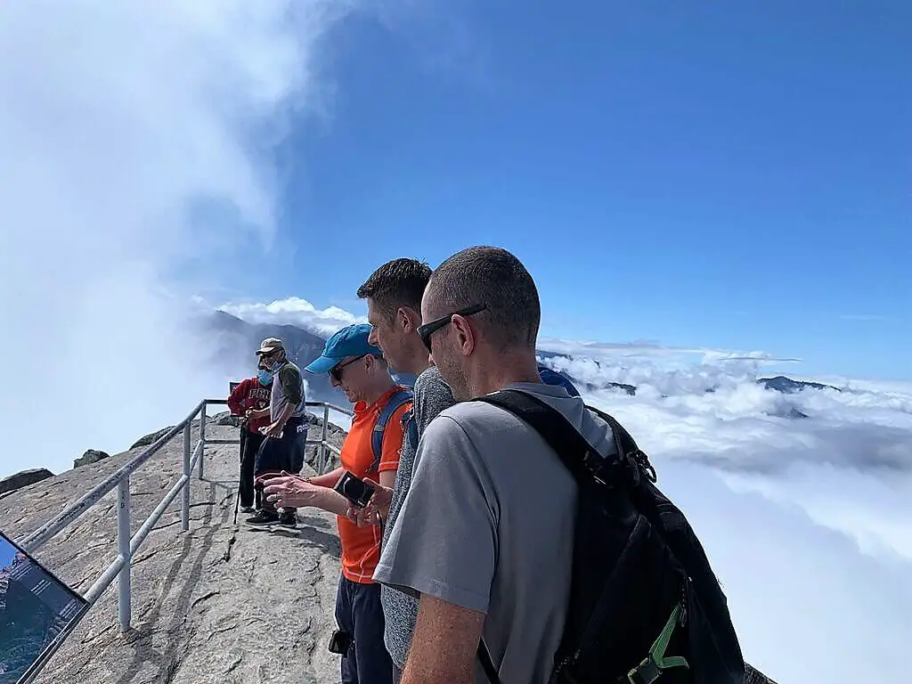
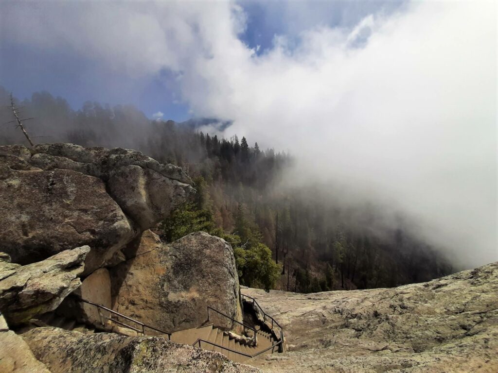
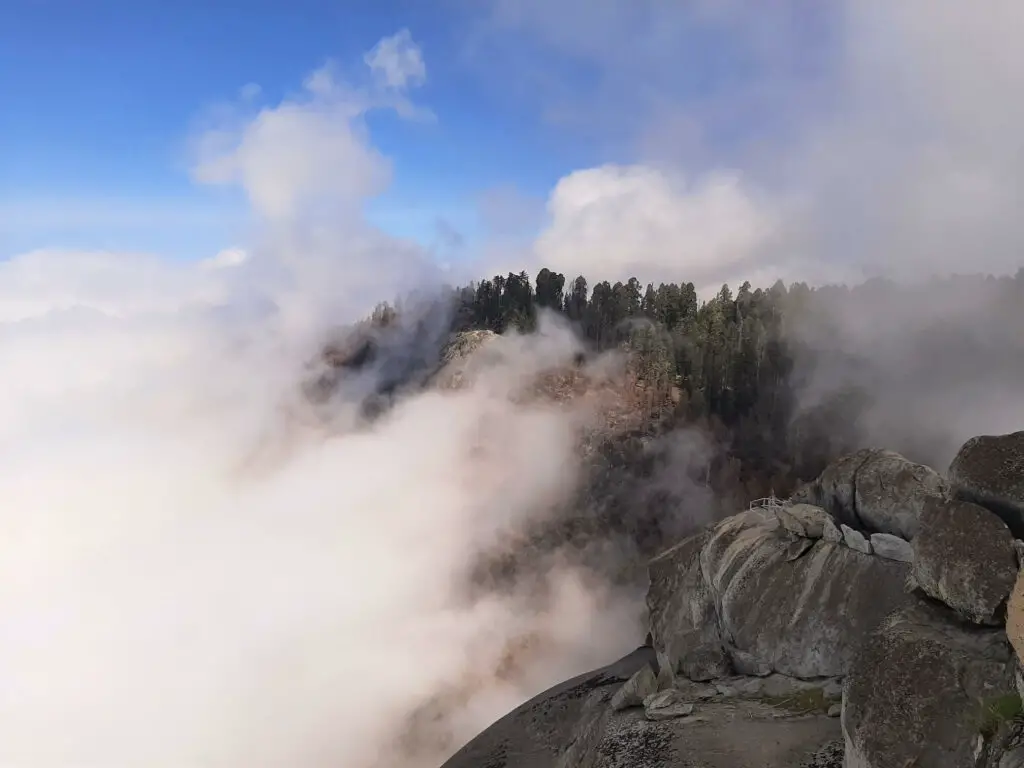
Unfortunately, we did not have the perfect weather during our visit to Moro Rock, so the views described above were not visible.
That said, when we stepped out onto the summit, we had blue sky above and just the highest peaks jutted out from the blanket of cloud that shrouded the valley below.
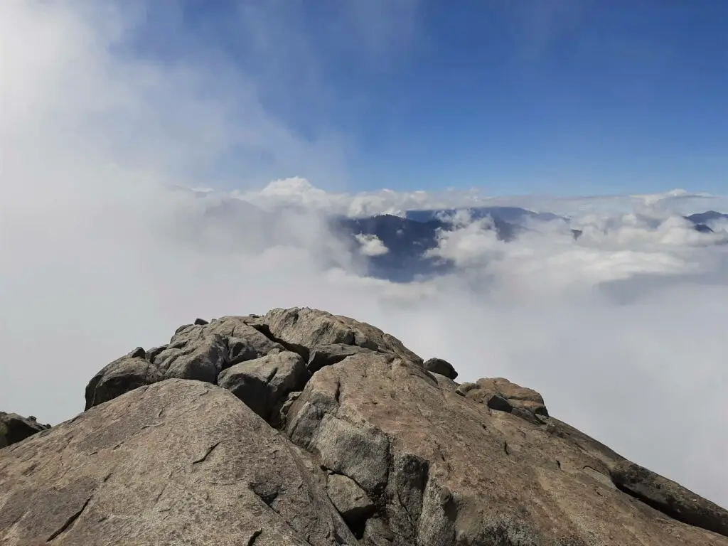
It was magical in its own way and gave us the feeling of stepping out on top of the world!
Moro Rock Trail – Our Thoughts
This was the very first trail that we experienced during our May 2022 road trip and what an introduction it was!
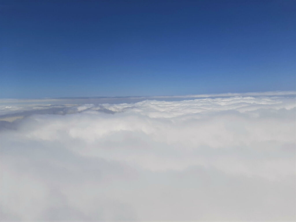
It may only be short in length but it certainly packs the ‘Wow’ factor. It is all too clear to see why the Moro Rock trail is one of the most popular and highly rated of all the hikes in the National Park.
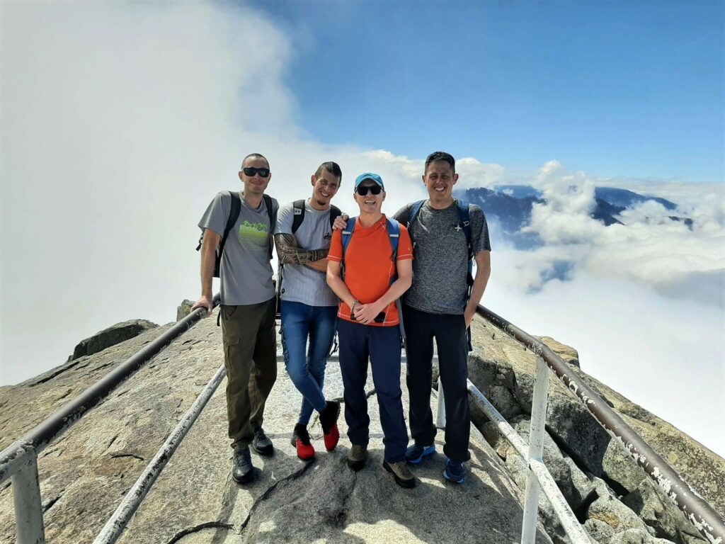
If you want to beat the crowds and grab a parking spot adjacent to Moro Rock, you had better arrive early.
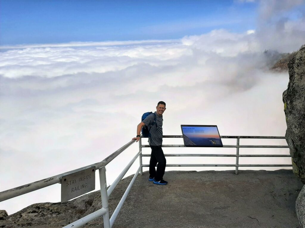
We were blown away by the beauty of this trail and we had a blanket of cloud blocking many of the spectacular views. If you are spending a few days in and around the National Park, try and pick a clear weather day for this hike. You will be glad you did!
Moro Rock Trail – Q & As
How long does the Moro Rock trail take?
You should allow anywhere between 30-60 minutes to complete the trail.
What is the Moro Rock trail length?
The total trail length (out and back) is 0.5 miles (0.8 km). The full trail from the Giant Forest Museum is 3.79 miles (6.1 km) in total.
Is Moro Rock trail difficult?
I wouldn’t say it’s difficult but moderately challenging at worst. It is only 400 metres to the top after all but owing to the 350+ concrete steps and the relatively high altitude, some may end up short of breath.
When does Moro Rock trail open?
Technically the trail is always open, it’s just how you go about gaining access to it that may vary. Crescent Meadow Road which leads to Moro Rock Loop Road generally opens by late May and closes for winter once the snow renders the road impassable.
During these months, hikers will have to complete the full Moro Rock trail from the Giant Forest Museum. Make sure you check the very latest Sequoia conditions before setting out.
Are dogs allowed on Moro Rock Trail?
No pets, including Emotional Support Animals, are allowed on any of the trails within the National Park.
Is Moro Rock dangerous?
If you abide by the appropriate guidelines, there is no reason why the Moro Rock trail should be dangerous. These are:
- Always stay inside the safety railings.
- Move slowly along the path; do not run!
- Never attempt the climb when there is the possibility of thunderstorms i.e. If there are dark clouds in the vicinity or you detect static electricity in the air.
- Do not climb Moro Rock if the steps are covered in snow or ice.
Is Moro Rock kid-friendly?
It is child friendly in the sense that it is achievable for most children. However, it is certainly not a trail where kids can be left unattended at any point.
Although there are handrails along significant stretches of the route, children should be kept a close eye on at all times owing to the steep drop-offs along the trail.
Is Moro Rock scary?
Depends who you are asking I suppose. If you are not keen on heights this trail should probably be avoided as there are substantial drop-offs along the entire route. Here’s one account from a visitor who certainly did find the Moro Rock trail scary!
How high is Moro Rock?
The Moro Rock elevation is 6,725 ft (2,050 m) above sea level. However, you will be happy to hear that the steps to the top only make up the last 300 ft (91 m) of this!
How was Moro Rock formed?
Granite domes, such as Moro Rock, are common in the Sierra Nevada mountains of California. They are formed via a gradual process known as exfoliation, an action that brings about the ongoing shedding of rock layers over time.
With these layers stripped away, the underlying granite slowly expands. Fractures brought about by the process of exfoliation have a tendency to cut corners, resulting in these dome-like rock formations.
Why is it called Moro Rock?
The story goes that in the 1860s, one Mr Swanson from nearby Three Rivers owned a roan-coloured mustang (horse) that went by the name of Moro.
The mustang enjoyed scrambling around the base of the great granite dome and so it became known as Moro’s Rock (Moro Rock today).
Where to stay near Moro Rock?
If you really want to stay close to the attractions of Sequoia National Park then you may wish to consider staying in one of the many campgrounds within the park.
Looking for something slightly more comfortable? There are a number of motels in the community of Three Rivers, immediately south of the National Park.
For a little more hustle and bustle, the city of Visalia, 29 miles west along State Route 198, offers a wide variety of accommodation options, typical for a city of its size.
Have you experienced this trail?
If you have, please share your experience with us and our readers. If you have any questions that we have not answered here, please let us know and we will get back to you just as quickly as we can.
Like Our Article? Please Pin it!

My wife and I and my sister and her husband walked there from the old Giant Forest cabins years ago to watch the sunset from the summit. We stayed until the sun was well down and suddenly realized that we’d have to walk home in pitch dark. Of course we hadn’t thought to bring a flashlight so we stumbled along imagining we were hearing bears and wolves closing in on us. It was a scary but memorable experience we talk about some 40 years later.
Hi Mike, I appreciate your comment. Having visited the area, I can really picture what it must have been like trying to make your way back to your accommodation through the forest in the dark. Terrifying springs to mind! The funny thing is that had you carried a flashlight, the story probably wouldn’t be quite as memorable 40 years on! Thanks for sharing. Best wishes, Gavin