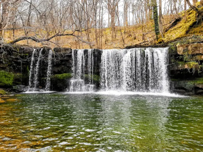
Brecon Beacons National Park
The Elidir Trail is an exquisite walking route along the banks of two rivers taking in four beautiful waterfalls (five if you are adventurous) in this southern section of the Brecon Beacons National Park
Take the Elidir Trail into the heart of ‘Waterfall Country’
The Elidir Trail gives you a wonderful introduction to ‘Waterfall Country’ where you get the opportunity to experience a magical ‘Celtic Rainforest’.
This shady, moist landscape is rich with mosses, liverworts and lichens that thrive in the high humidity offered by these woodlands and waterfalls.
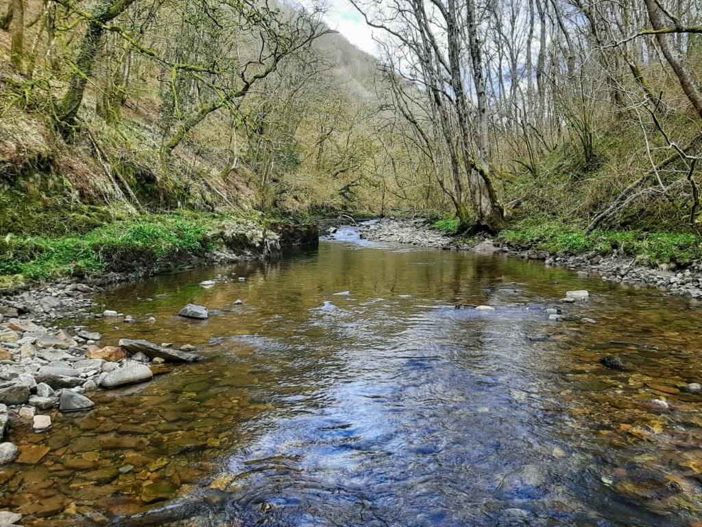
It is almost impossible to think that this area once played a part in the Industrial Revolution. You can still see some of the silica mines used to make bricks for furnaces.
This is the reason why the path is relatively level as it follows the tracks of horse-drawn trams that once carried the stone down to the Neath Canal.
Where is the Elidir Trail?
The Elidir Trail is a walking route that connects the village of Pontneddfechan (“bridge over the Little Neath” in Welsh) in the south to the small parking and picnic area of Pont Melin-Fach in the north.
Pontneddfechan is located at the head of the Neath Valley, just off the A465, on the very southern edge of the Brecon Beacons National Park.
Where to park?
As I mentioned, there are two starting points for the Elidir Trail but we would suggest parking at the Pontneddfechan end as there is more parking availability.
There are four parking spots on High Street, immediately alongside the Angel Hotel. Failing that, try and find a spot on Pontneathvaughan Rd, in front of the Angel Hotel.
If you fancy the northern starting point of Pont Melin-Fach, please be aware that the parking area is very small and can only accommodate a handful of cars.
Note: When we visited on April 5th 2021, the car park at Pont Melin-Fach was closed. Visit Natural Resources Wales to keep tabs on potential car park closures prior to your visit.
The Elidir Trail – Step by Step
You will find the gate indicating the start of the Elidir Trail immediately behind the Angel Hotel. Once through, you will instantly find yourself in a mystical river valley, on a well-maintained path that hugs the bank of the picturesque Afon Nedd Fechan (River Neath).
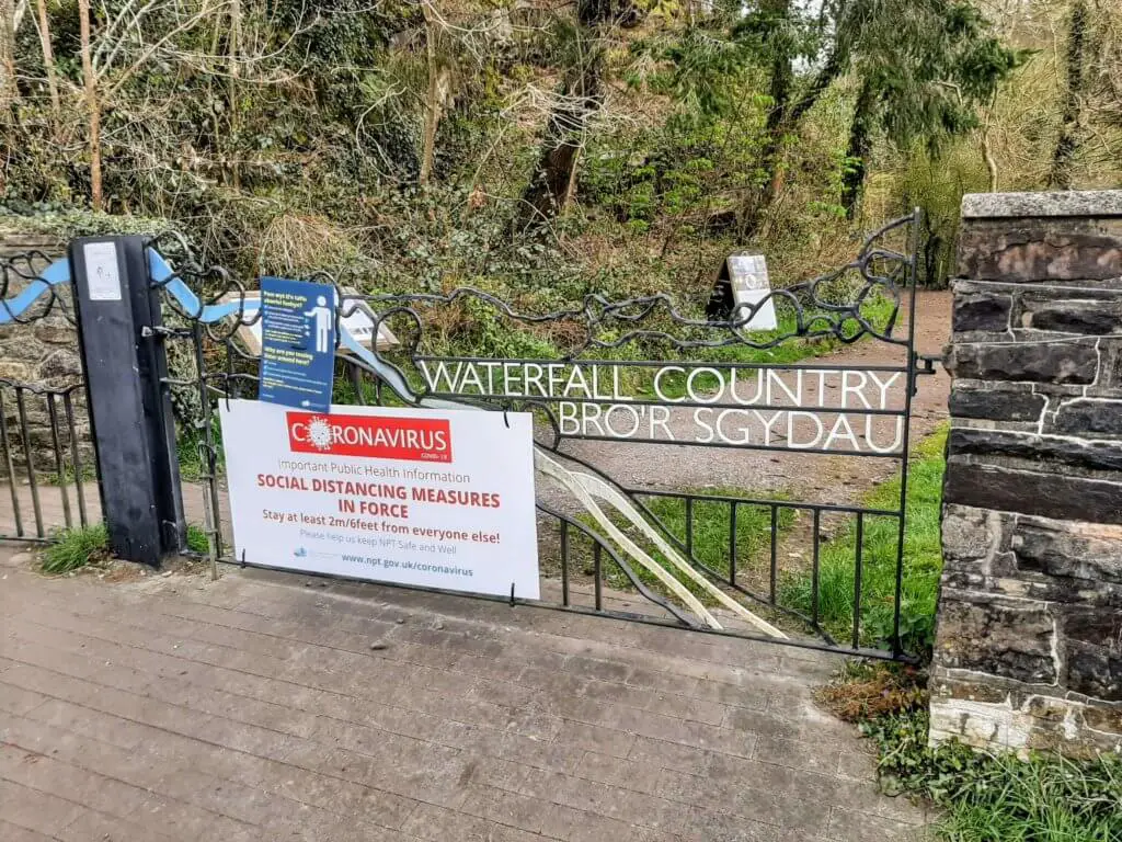
The path leading to the first waterfall is fairly wide and flat and gives you the opportunity to stroll leisurely whilst absorbing the natural beauty that surrounds you.
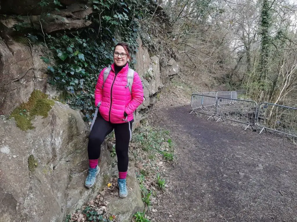
You will also find that you are well protected from all the elements walking in this sheltered valley with the significant natural canopy hanging overhead.
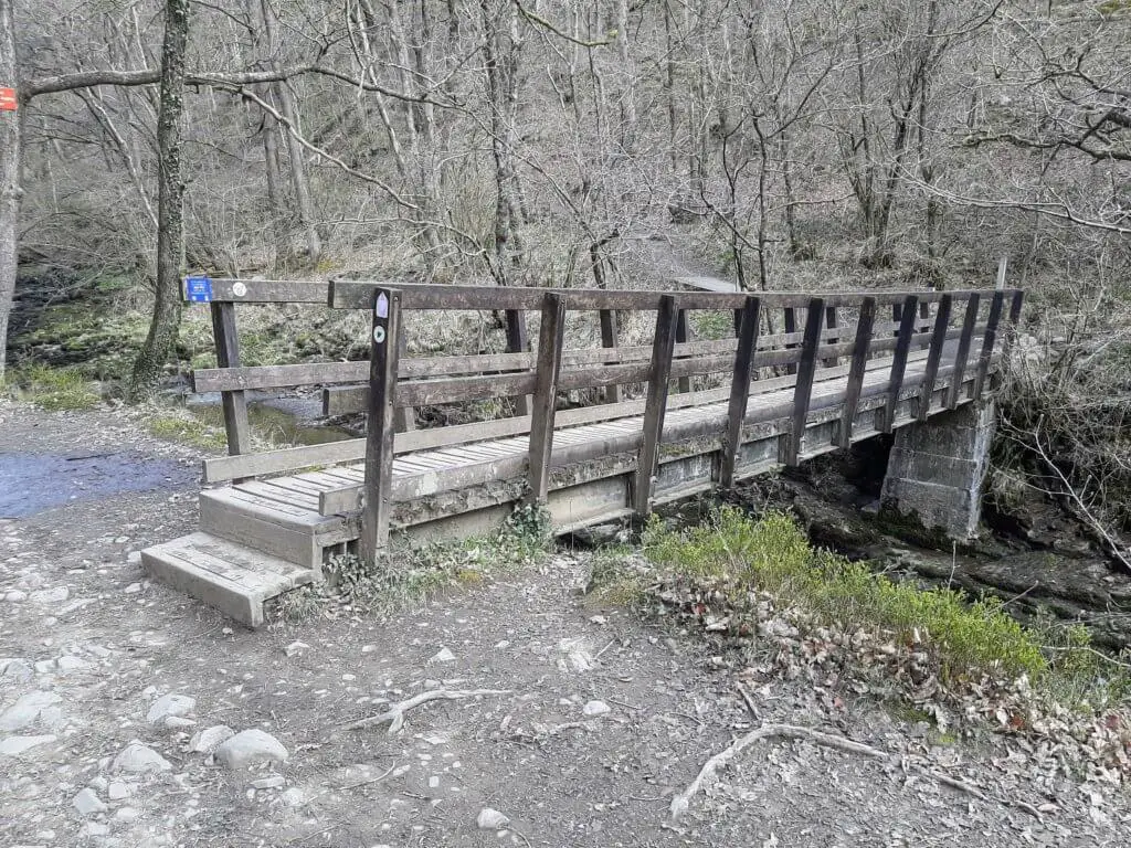
Sgwd Gwladus – Lady Falls
After walking for approximately 30 minutes you will reach a wooden footbridge on your right-hand side. It is at this point that the Afon Pyrddin joins the Afon Nedd Fechan from the northwest.
Do not cross the bridge but continue following the Afon Pyrddin upstream for around five minutes, at which point the Sgwd Gwladus will come into sight.
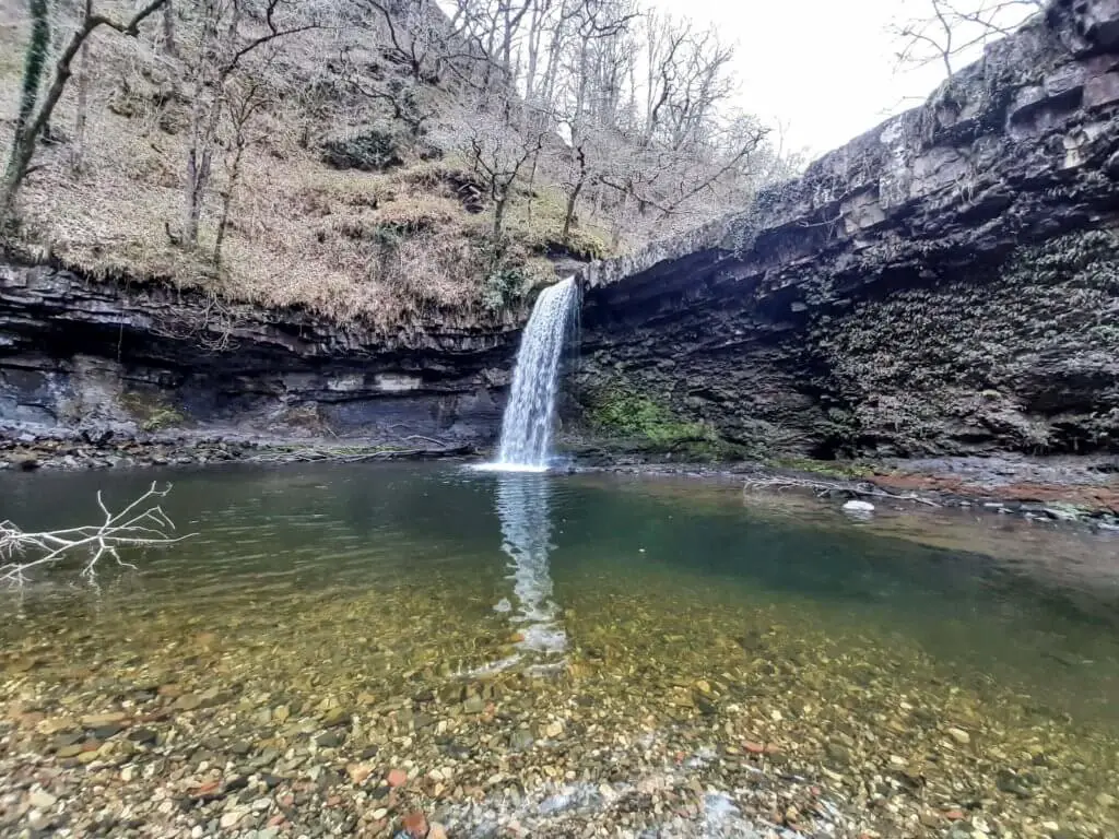
The path terminates at this point and you now have to pick your way across the rocks at the edge of the river to a point where you get the best view of the falls.
The Sgwd Gwladus falls are formed where the Afon Pyrddin drops 20 ft (6 m) over a sandstone lip and are one of a number of waterfalls in South Wales that you can walk behind; Henrhyd Falls and Sgwd yr Eira are two other examples also within Waterfall Country.
Note: If you do choose to walk behind the falls, please understand that you are doing this entirely at your own risk.
Sgwd Einion Gam – ‘Fall of Crooked Einion’
Let the adventure commence! The next step of our described hike is not officially part of the Elidir Trail and getting to the Sgwd Einion Gam (waterfall two) requires a lot more effort!
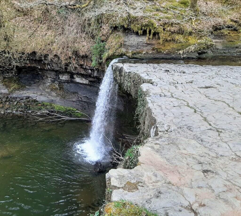
Firstly, you need to make your way up the right-hand bank of the Sgwd Gwladus to its sandstone lip and then follow the Afon Pyrddin upstream, initially sticking to the right side of the river.
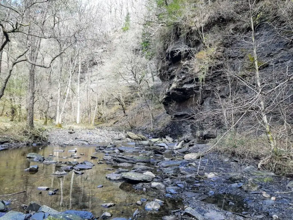
In approximately 300 metres, the path will meet a large overhanging cliff face that prevents further progress on the river’s right-hand side.
It is now time for river crossing number one. There is no best crossing point, it is simply down to you to use your best judgement in picking your way across the multitude of stones and rocks. It will also be hugely dependent on the river depth at the time of your visit.
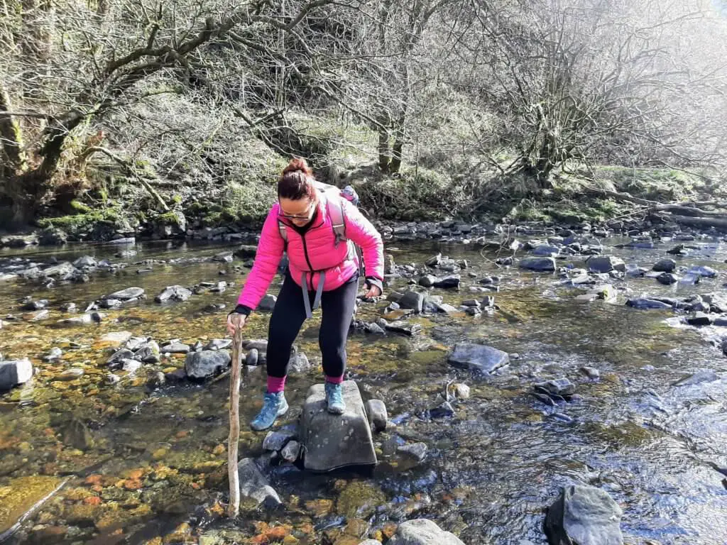
We were fortunate that during our April visit, the river level was low making the crossing fairly comfortable.
Once you have safely navigated the crossing, continue upstream for a short distance before the geology of the river bank forces you into crossing the river once more.
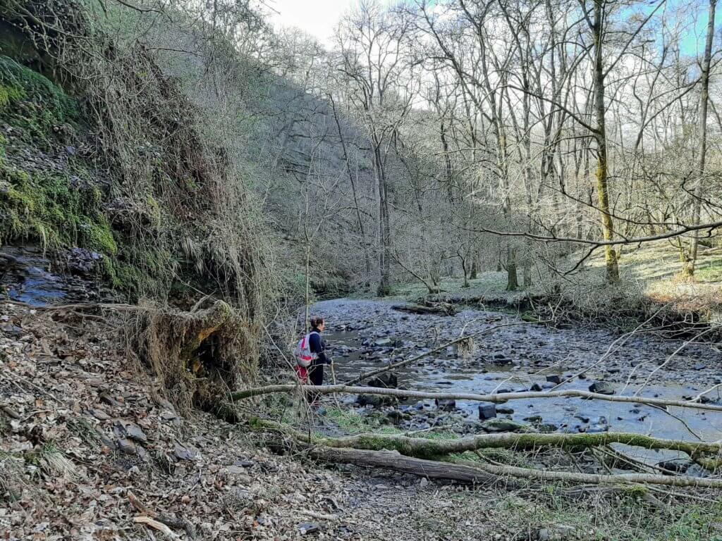
Again, there is no best place to cross, so do your best to cross safely and remain dry in the process.
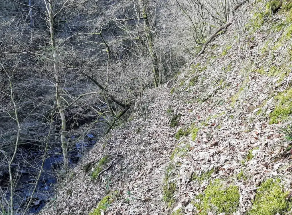
When you are safely back on the right-hand side of the river, continue along the indistinct path which soon rises up above the river. The path becomes very narrow, has a steep drop off on your left-hand side and with little to hold on to, is somewhat precarious. You have been warned!!!
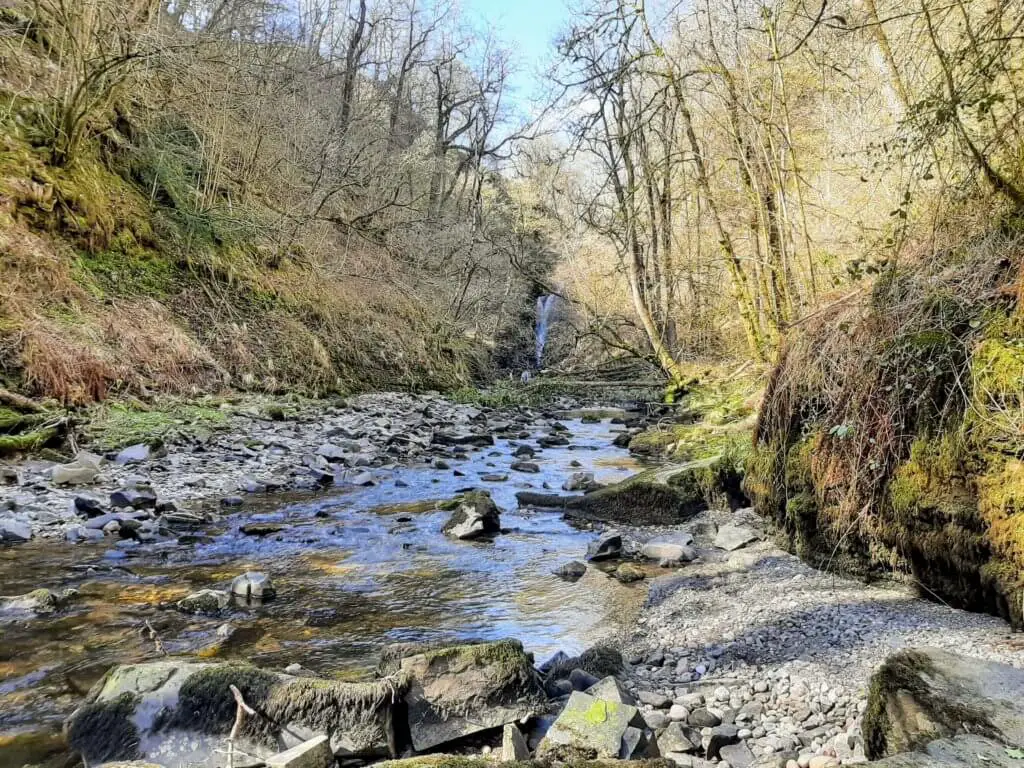
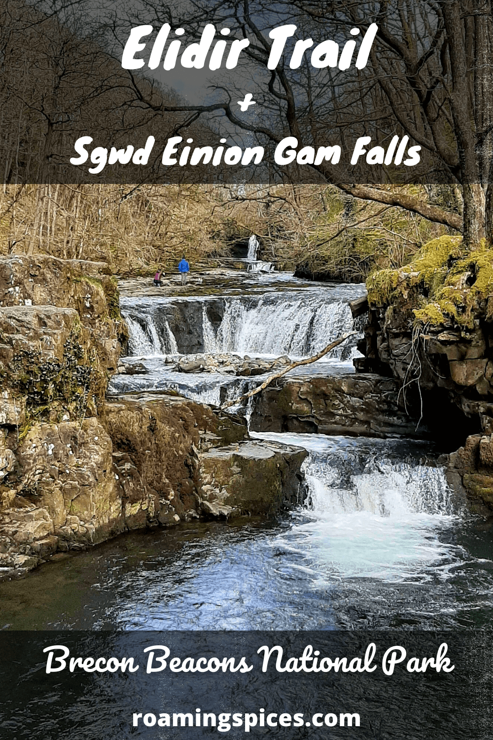
Thankfully, the path soon drops back to the river at which point the Sgwd Einion Gam comes into sight for the first time. Now it is just a case of following the right-hand edge of the river until you reach the small lower falls.
“Read what others are saying about the Sgwd Einion Gam”
To gain access to the Sgwd Einion Gam, it is a simple scramble up the mud bank to the right of the lower falls and then promptly back down again on to the shelf at the top of the lower falls.
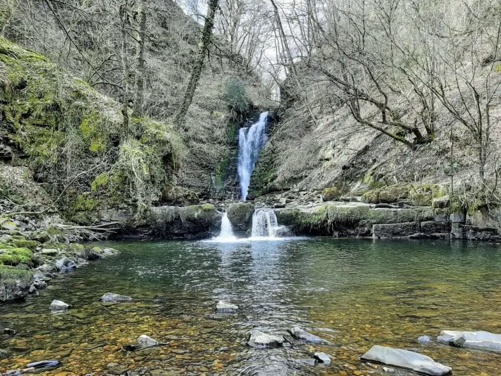
To appreciate the Sgwd Einion Gam straight on, in all its glory, you will need to make one further crossing of the river but it is certainly worth it!
Did you know? The Sgwd Einion Gam is the 2nd highest waterfall in South Wales, just one metre shorter than Henrhyd Falls.
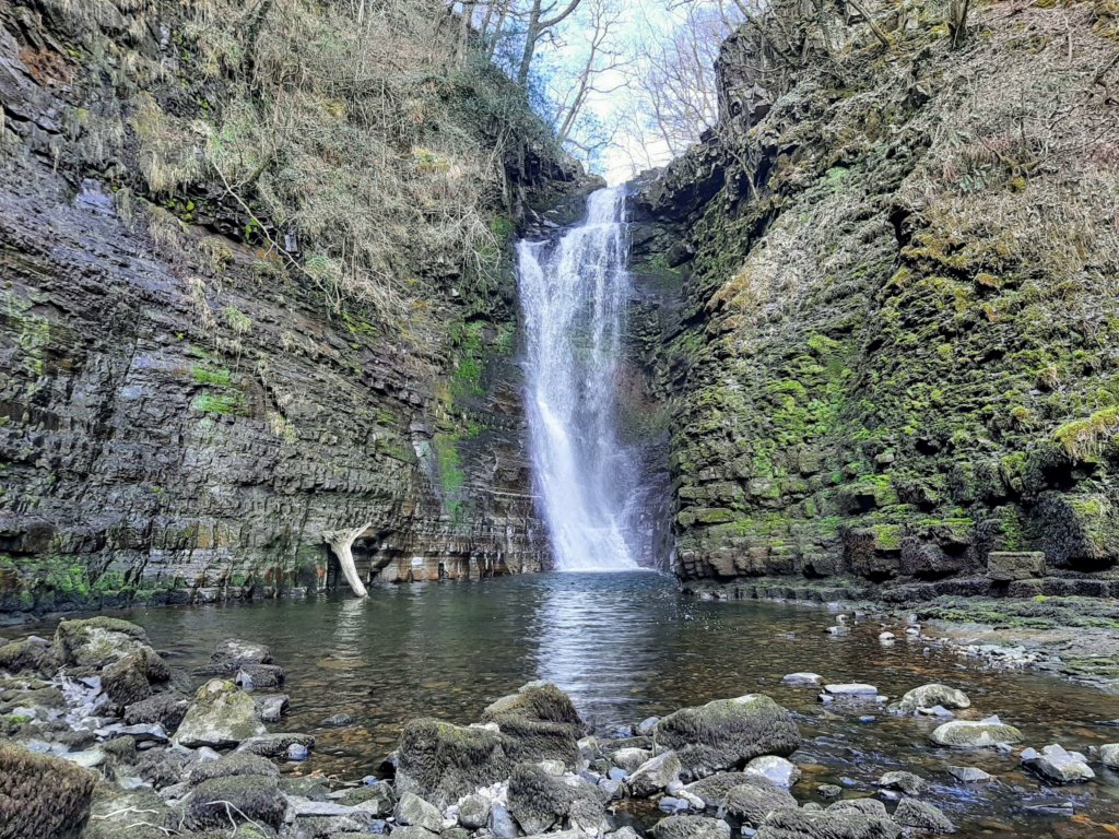
Heading Back to Join the Elidir Trail
Once you have appreciated the majesty and remoteness of these wonderful falls, it is time to head back and rejoin the Elidir Trail.
On the return, we decided to try and avoid the ‘death defying’ stretch of path and managed to do this by tracking back along the river bed.
Although we achieved this owing to the low river level, it was no easy task and was a real test of balance, jumping from rock to rock to stay dry.
From this point, it is just a case of retracing your route back to Sgwd Gwladus. From there, drop down the left side of the falls and continue along the path back to where the Afon Pyrddin joins the Afon Nedd Fechan.
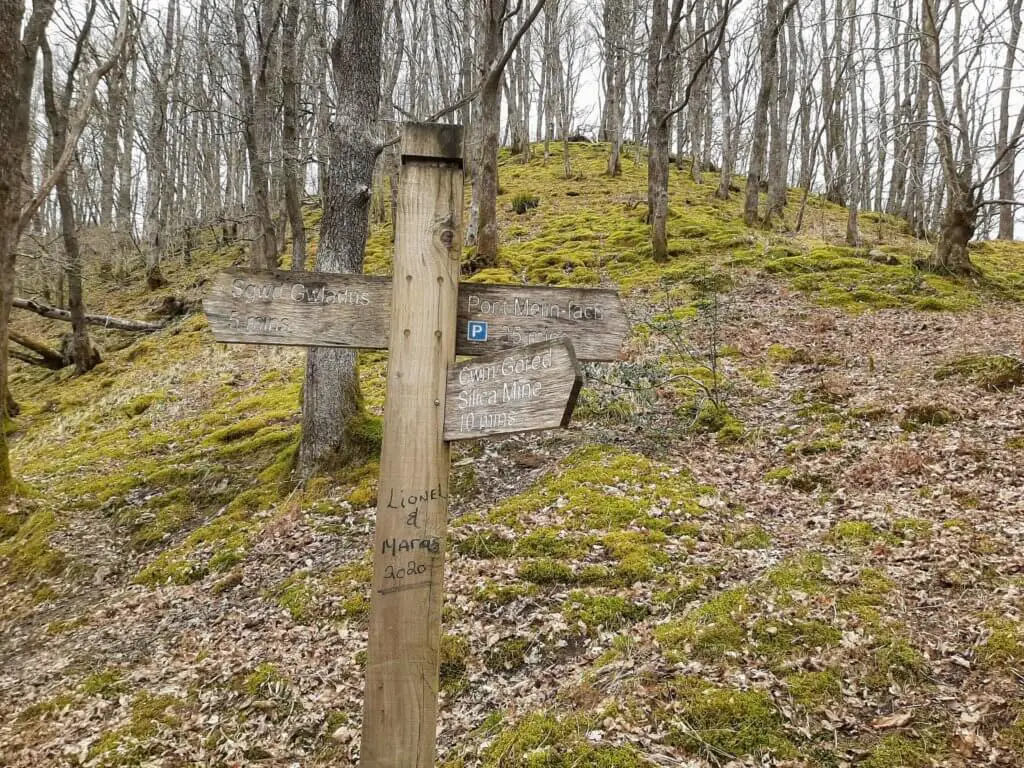
From here the path sweeps to the left in a northerly direction and rises high above the Afon Nedd Fechan.
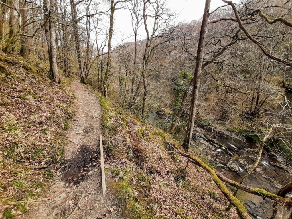
Along this stretch of the Elidir Trail, there are three more waterfalls to look forward to as you make your way towards the parking and picnic area at Pont Melin-Fach.
Sgwd-y-Bedol (Horseshoe Falls)
The Elidir Trail soon begins to drop back towards the river and a series of small waterfalls come into sight. Shortly after, you will reach a wooden footbridge that crosses the Nant y Llechau, a small river joining the Afon Nedd Fechan from the north (your left).
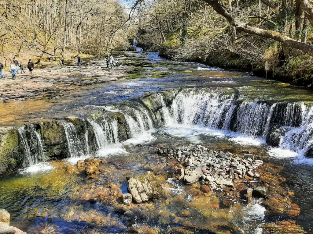
Immediately adjacent to this sits the Sgwd-y-Bedol, a picturesque horseshoe-shaped waterfall, almost like a miniature Niagara Falls.
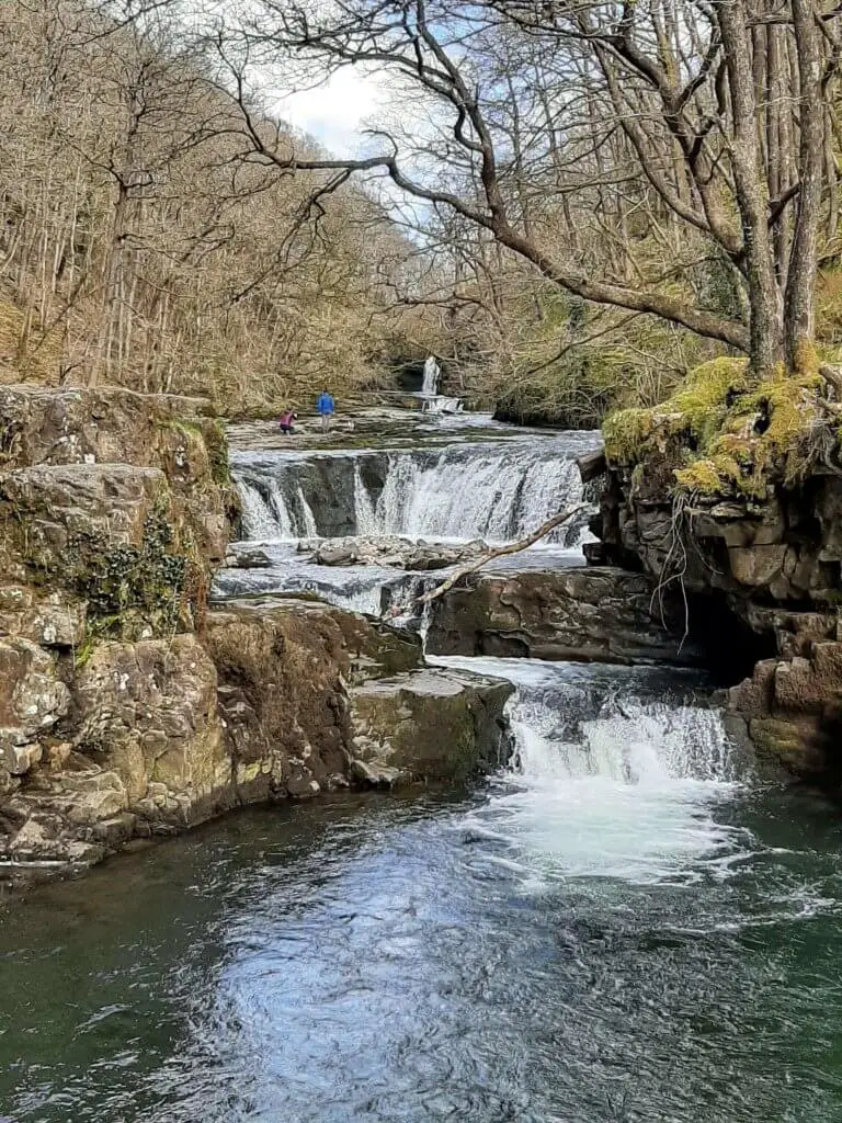
In fact, the Sgwd-y-Bedol is not really just a single cascade but three-tiered waterfalls all within close proximity to each other.
Sgwd Ddwli Isaf (Lower Gushing Falls)
From the Sgwd-y-Bedol, just a glance upstream and you will see the next waterfall on the Elidir Trail – Sgwd Ddwli Isaf. To access this waterfall, simply walk up the river bed across the bedrock towards the waterfall.
Naturally, this will be dependent on the depth of the river when you visit. We were fortunate as the majority of the river bed was fully exposed.
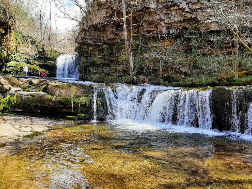
To access the main falls you have to climb up a one-metre shelf in the bedrock alongside a small nameless cascade. From there, you can head right up close to the falls as they tumble into the plunge pool just metres from you.
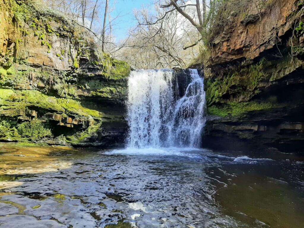
Owing to the narrowness and steepness of the gorge sides, the intense sound generated by the cascade is definitely something worth experiencing.
Sgwd Ddwli Uchaf (Upper Gushing Falls)
For the final waterfall on the Elidir Trail, you will need to head back along the river to Sgwd-y-Bedol and rejoin the path, heading upstream once more.
A short distance further on, a small trail will branch off to your right leading you to the fifth and final waterfall on this hike – Sgwd Ddwli Uchaf.
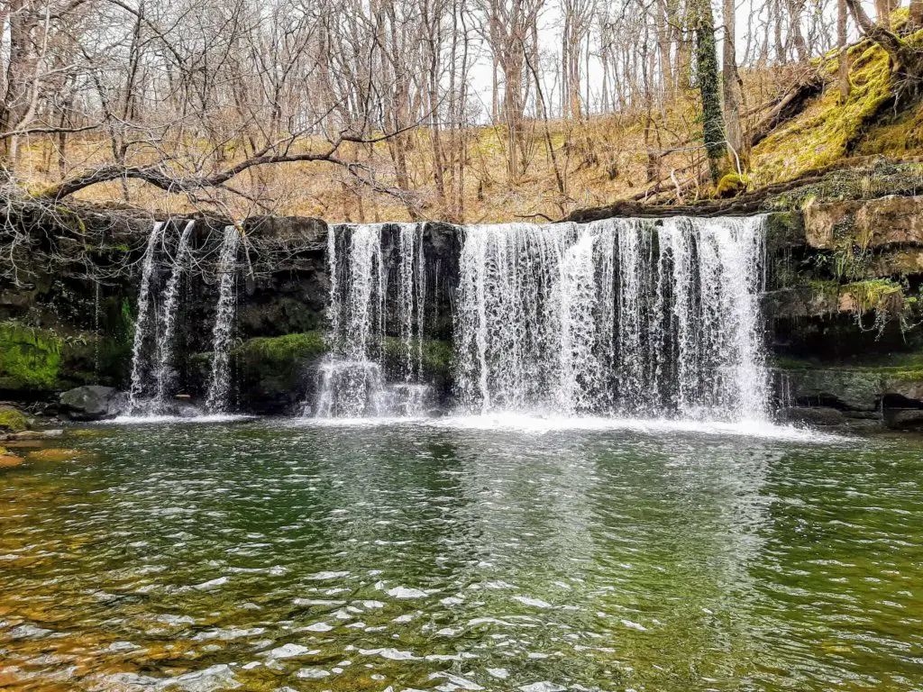
This waterfall is approximately 5 metres in height and its cascade has a beautiful veil-like appearance to it. Make sure you head up the left-hand side of the river bank to appreciate the Sgwd Ddwli Uchaf up close.
Pont Melin-Fach
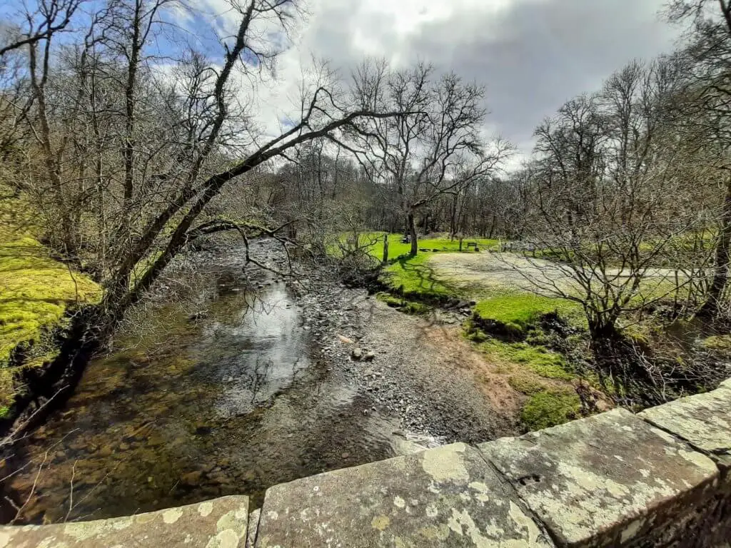
Rejoin the trail once more and in approximately 10-15 minutes you will reach Pont Melin-Fach. This marks the northern end of the Elidir Trail and is an ideal and pretty location to take on some refreshments.
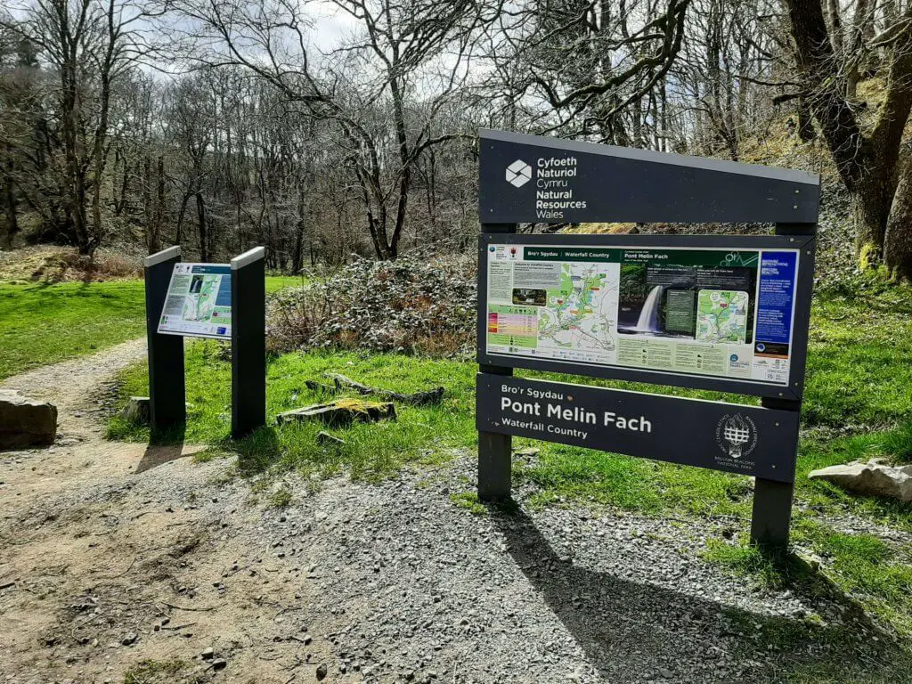
From here, it is a simple case of retracing your steps back down the Afon Nedd Fechan to the point at which it joins the Afon Pyrddin.
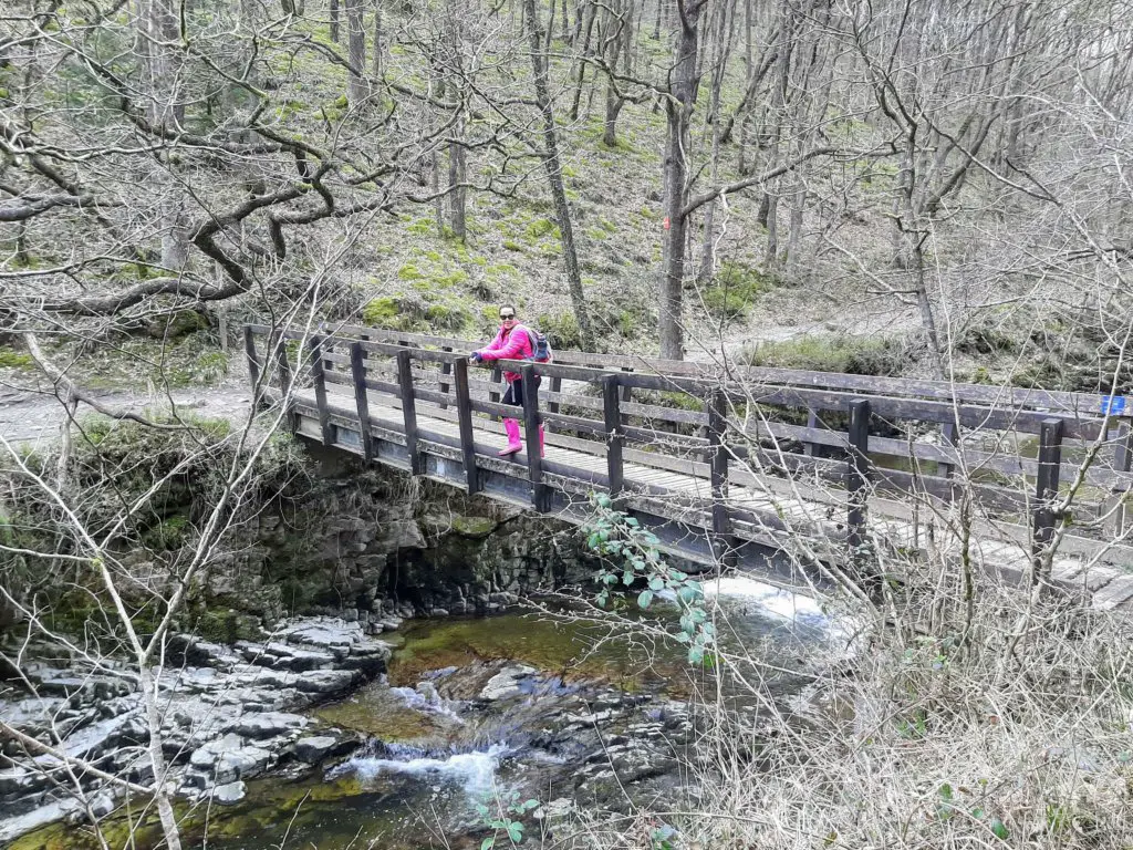
Here you will cross the wooden footbridge on your left, then turn left and follow the trail back to the starting point at Pontneddfechan.
Elidir Trail – Our Thoughts
We have experienced many waterfall walks in the Brecon Beacons and to date, the Elidir Trail is comfortably our favourite. The Four Waterfalls Walk, just a short distance away, seems to get all the attention and as good as it is, this walk wins hands down in our opinion.
The irony is that our favourite part of this experience is not actually part of the Elidir Trail at all but a far less explored stretch of the Afon Pyrddin connecting the Sgwd Gwladus and Sgwd Einion Gam.
The second we stepped beyond the Sgwd Gwladus, it was almost like we had ventured into unchartered territory!
The trail was no longer clear and well prepared but vague to non-existent and made us feel like we had just embarked on a real adventure. This was only helped by the necessity to cross the river on two occasions.
The other thing that became abundantly clear was that the indistinct chatter of happy walkers seemed to stop also, which was not surprising as there was barely a soul on this section of the walk.
It was almost like everyone apart from us was prohibited from venturing beyond the Sgwd Gwladus!
The Sgwd Einion Gam is a real gem, beautifully secluded and only exposing itself to those with some adventurous spirit.
It seems a real shame that visitors make the effort to walk the Elidir Trail and leave without ever discovering what in our opinion is the most majestic of the falls on offer here.
We would like to offer a couple of suggestions to potentially make your day more pleasurable. If you do plan on venturing to the Sgwd Einion Gam, it’s a good idea to come with your wellington boots.
Also, make sure you arrive early, especially on a weekend or during holidays as you may struggle to find a parking spot otherwise.
If you are to pick just one of the walks to Brecon Beacons waterfalls, this would definitely be at the top of our recommendation list!
Elidir Trail Q & As
How long is the Elidir Trail?
The Elidir Trail plus the trek to the Sgwd Einion Gam described here totalled 12.8 km (7.95 miles).
How long did this walk take?
The walk took us 5 hours and 21 minutes but this did include plenty of breaks along the way.
How difficult is the walk?
We consider this to be a moderately strenuous walk based on its overall length and the extra difficulties of reaching the Sgwd Einion Gam.
How did the Elidir Trail get its name?
In Welsh mythology, Elidir was a young trainee monk who was badly treated for being lazy and ran away from his abbey. He was found by the fairy folk who took him to their own world. Some say the entrance to that fairy kingdom lay along the banks of the Elidir Trail.
__________
Have you walked the Elidir Trail?
Kindly share your opinions in the comment box below.
Are you planning on experiencing this route and have some questions? If so, please also drop them into the comment box and we will get back to you as quickly as possible…
Like Our Article? Please Pin it!

Lovely description of this favourite walk from days gone by.
This was part of our annual spring break at whitsun. We’d camp at Dan Yr Ogof showcaves, and walk the black mountain.
My mother in law was born and grew up in Ystradfellte, staying in many of the houses on the walk. Hendre bolon, and what used to be the Youth Hostel, Plas darren farm.
Stories say her father used to drive his sheep behind Sgwyd y Eira.
Still have many friends in Penderyn..
Thanks for your kinds words and for sharing your piece of personal history.
Best wishes
Gavin