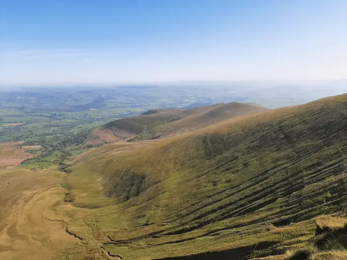
Bannau Brycheiniog (Brecon Beacons) National Park
Enjoy the wonderful Pen y Fan horseshoe walk (Cwm Llwch walk) from the northern Cwm Gwdi car park. Soak in the incredible scenery without the crowds on this moderately challenging circular walk
Trail Overview
Distance: 6.77 miles (10.9 km) roundtrip
Time to Allow: 3-4 hours
Difficulty: Moderate
Elevation Gain: 578 metres (1896 feet)
Hiking the Pen y Fan Horseshoe Trail
Pen y Fan has never been one of my favourite peaks to climb, mainly because of its incredible popularity and the many hikers I have to share the trail with.
However, you can minimise this problem by avoiding the popular and more accessible routes from Storey Arms and Pont ar Daf.
Instead, choose the Brecon Beacons Horseshoe Ridge Walk from the south or the Pen y Fan Horseshoe Walk from the north, which I am reviewing in this post. These alternative routes up Pen y Fan are longer and more challenging but far more inspiring.
Furthermore, they are much quieter routes, allowing you to soak in the incredible beauty of this location in relative peace.
Where is the Pen y Fan Horseshoe Trail?
The Pen y Fan Horseshoe Walk is located in the heart of Bannau Brycheiniog (Brecon Beacons) National Park. The trailhead is a short distance from the dedicated parking area and just over 2.2 miles (3.5 km) north of the summit of Pen y Fan. View the trail on this map.
Where to park?
The Cwm Gwdi car park is located to the east of the village of Libanus, 2.8 miles (4.5 km) from the A470, accessed via a single-track county road. The precise location is highlighted on this map with an orange ‘P’.

There’s a charge to park your vehicle. As of May 2023, the cost for a car was £3 and £6 for a campervan or minibus. The ticket machine accepts cash, or you can pay online via PayByPhone. The car park is free for National Trust members.
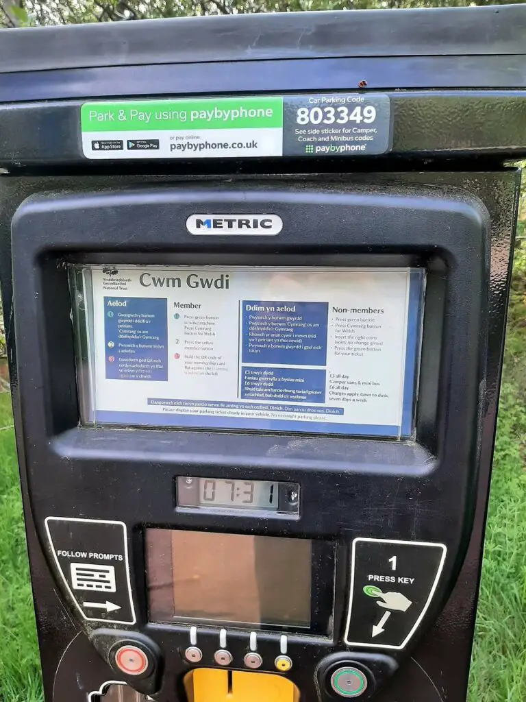
Car Park Location Details
- Latitude, Longitude (decimal): 51.914228, -3.418567
- What3Words
- Google Map
Pen y Fan Horseshoe Walk Description
Walking up Pen y Fan
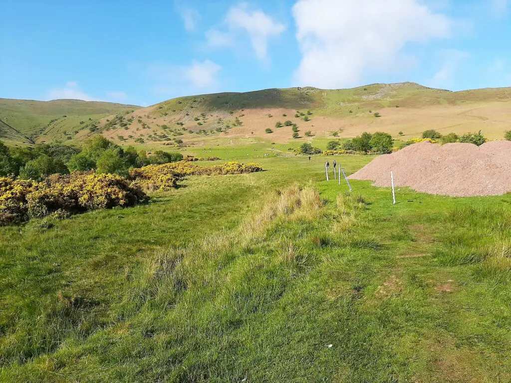
Head up the small paved road from the car park for approximately 200 metres. Here the road ends and a wooden gate leads you out onto open fields. Follow the obvious path ahead in a southerly direction, soon passing through a second gate.
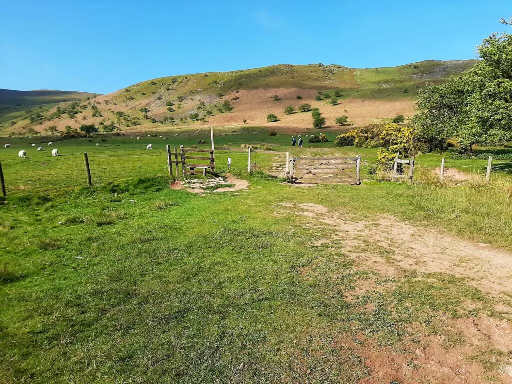
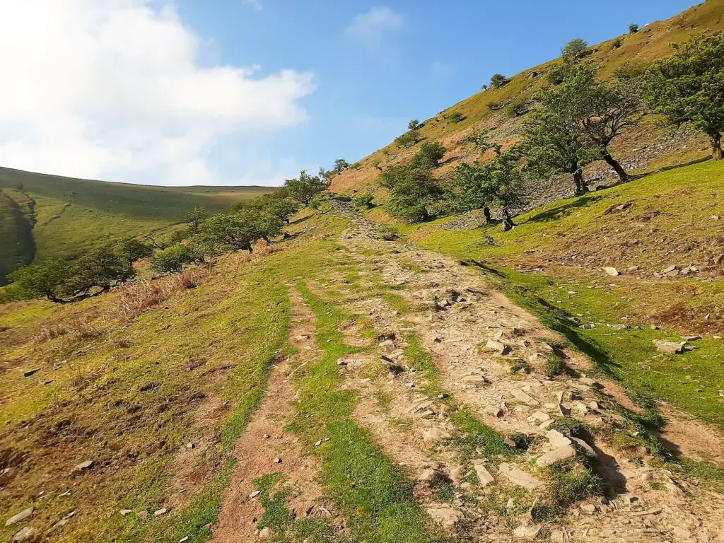
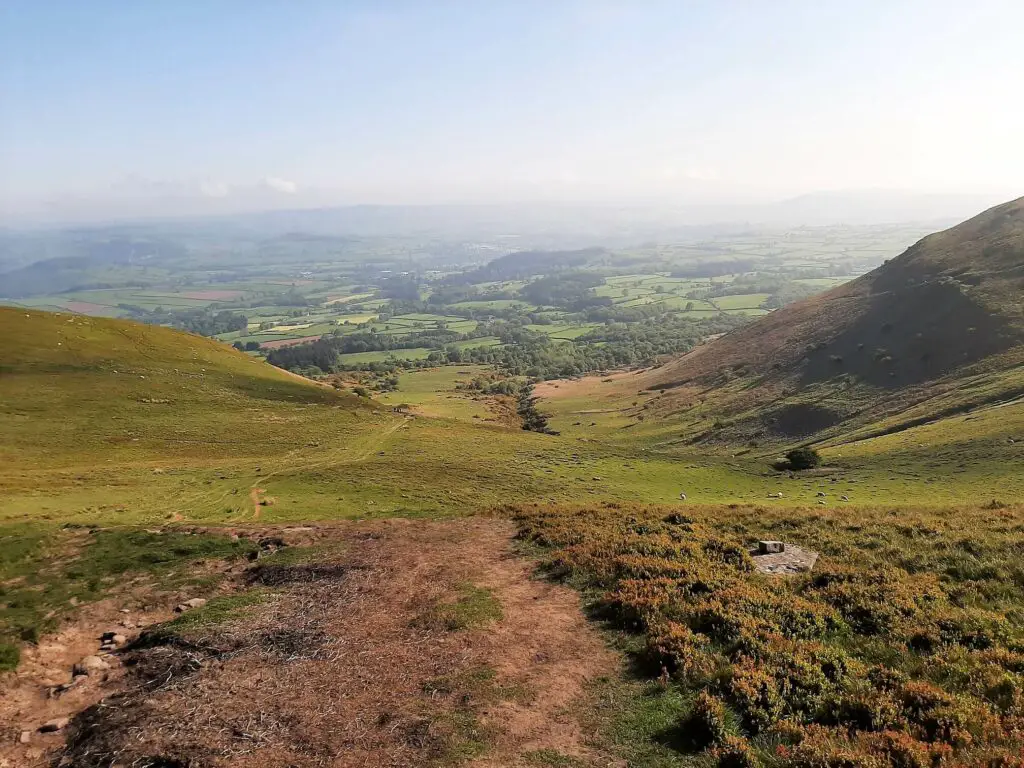
Shortly after, the gradient steepens, and a gradual but consistent climb commences along a rocky path. After walking for approximately 2 km, the trail flattens as you reach the Cefn Cwm Llwch ridge.
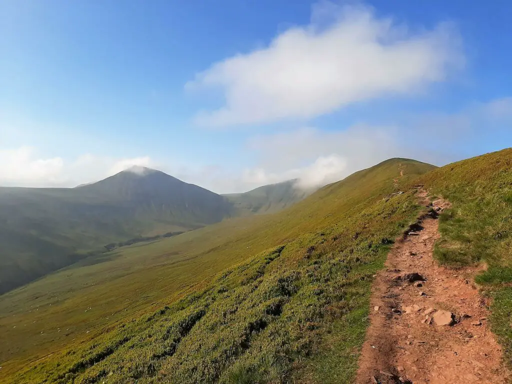
At this point, you are rewarded with great views into the Cwm Sere Valley to your left. Furthermore, the peaks of Cribyn, Pen y Fan and Corn Du appear ahead.
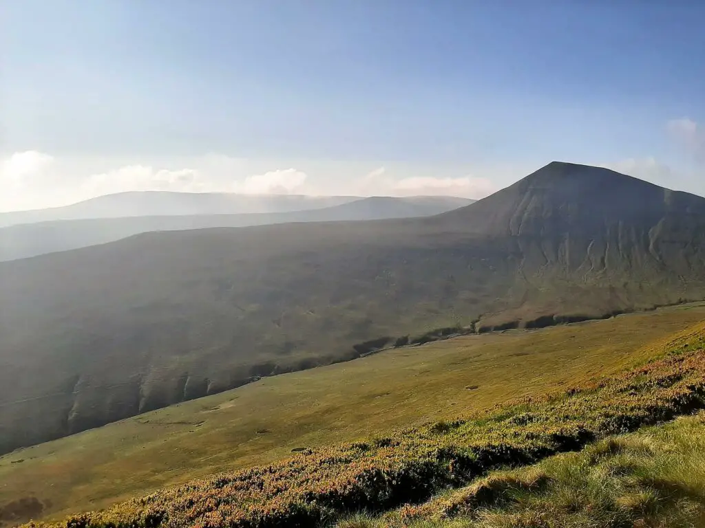
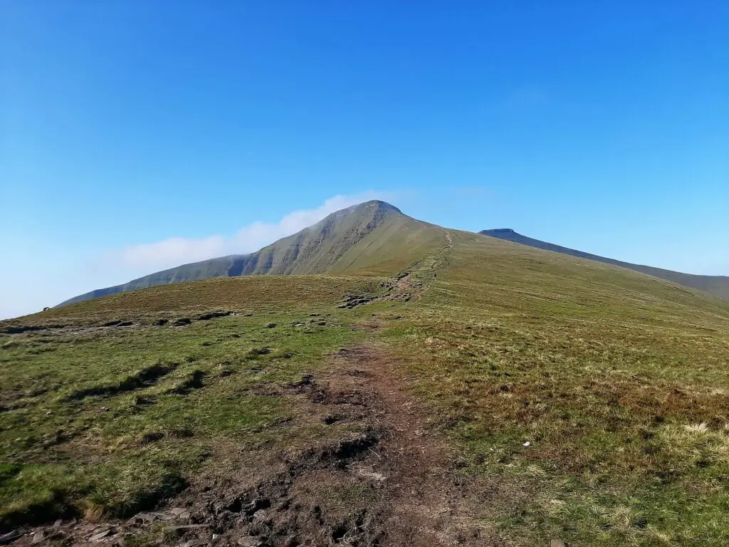
Enjoy this flattish section along the ridge as the gradient steepens significantly during the final stint up to the summit of Pen y Fan.
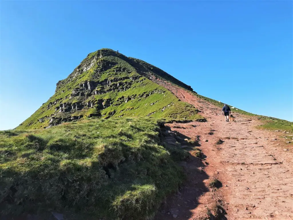
Summit of Pen y Fan
Upon reaching the summit, it is doubtful that you will be the only one enjoying the experience. However, it is hard to deny the spectacle you will encounter if you choose a good weather day for your hike.
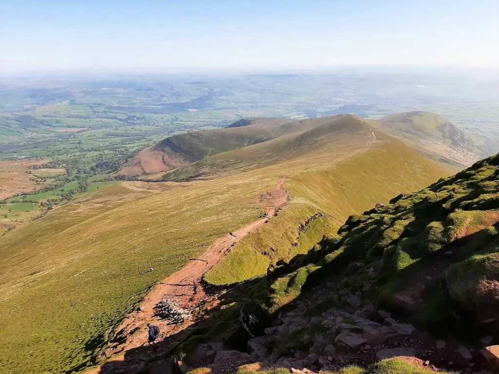
On a clear day, you can see the Cambrian Mountains, the Black Mountains, Gower, parts of Herefordshire and over the Severn Estuary to Somerset and Gloucestershire.
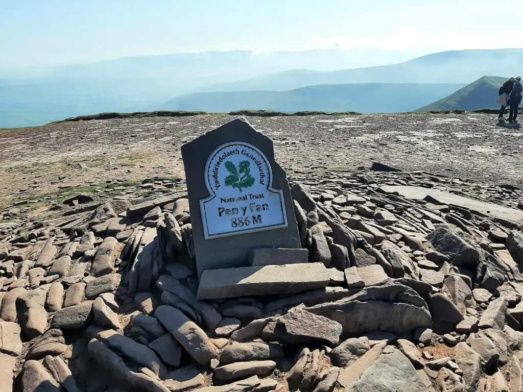
Of course, you won’t want to leave the summit without taking the obligatory photo at the cairn.
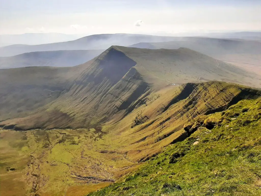
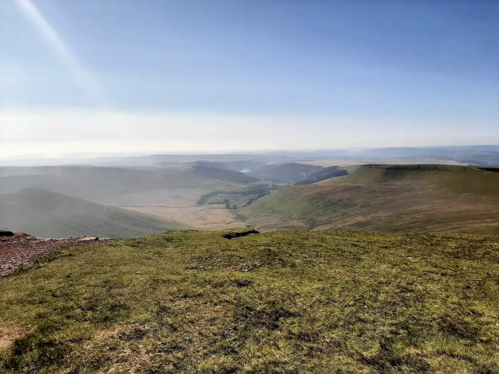
Having soaked in the summit vistas, the next section of the Pen y Fan Horseshoe walk leads you a short distance southwest to the peak of the second-highest mountain in the National Park, Corn Du.
Pen y Fan Horseshoe – The Descent
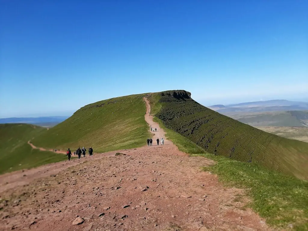
The next section of this Pen y Fan circular walk heads in a northwesterly direction as you descend along the Craig Cwm Llwch ridge.
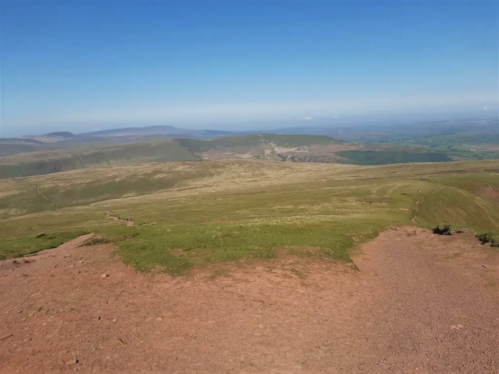
After a few hundred metres, the path splits. Make sure you stick to the trail that continues along the ridge.
The other option is the trail often referred to as the ‘Motorway’, the busiest route to the top of Pen y Fan from Storey Arms. You will almost certainly notice a significant drop in hiker numbers as you pass this point.
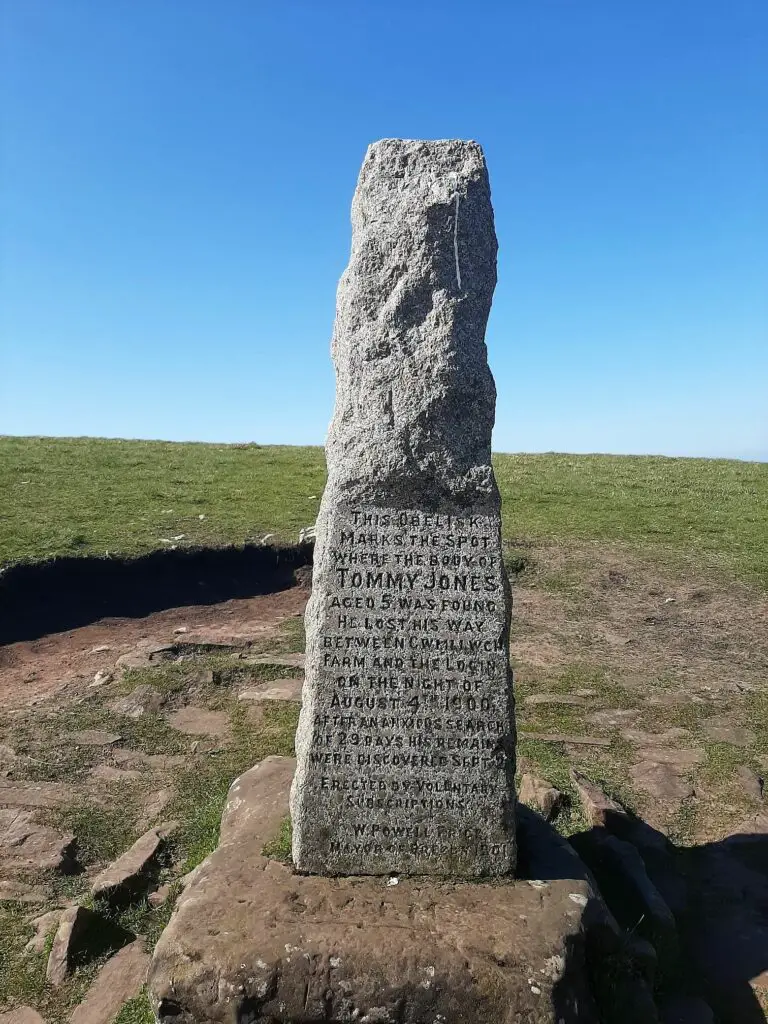
Soon after, you will reach the stone obelisk commemorating the sad loss of 5-year-old Tommy Jones in 1900. Read the full story here.
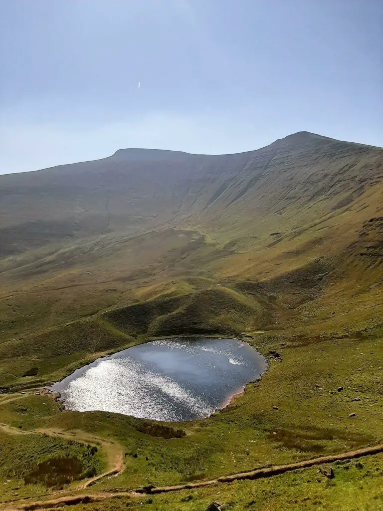
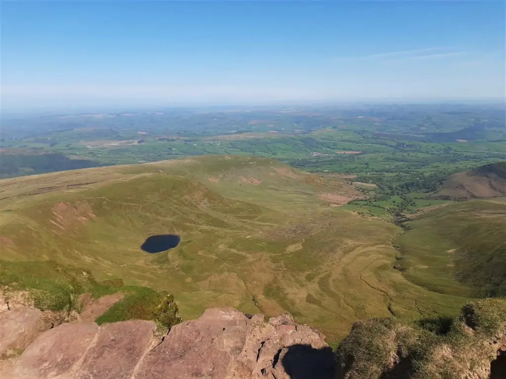
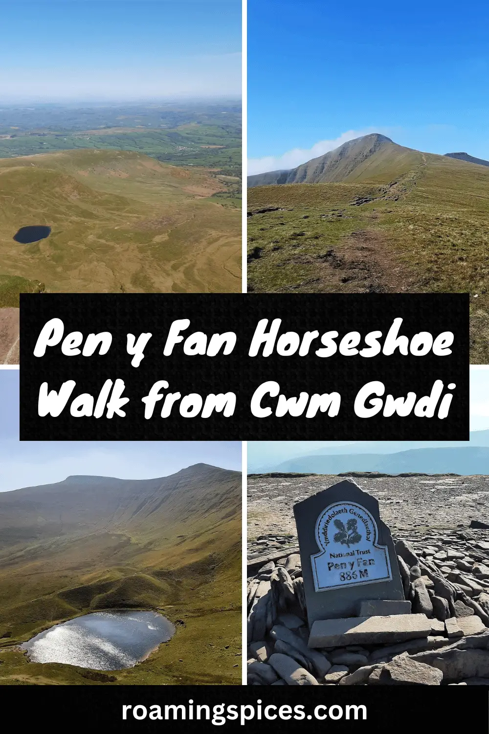
The trail then swings north and gradually descends towards the Nant Cwm Llwch Valley. Along this walk section, you get the best views across the small glacial lake, Llyn Cwm Llwch, with the towering peaks of Pen y Fan and Corn Du in the background.
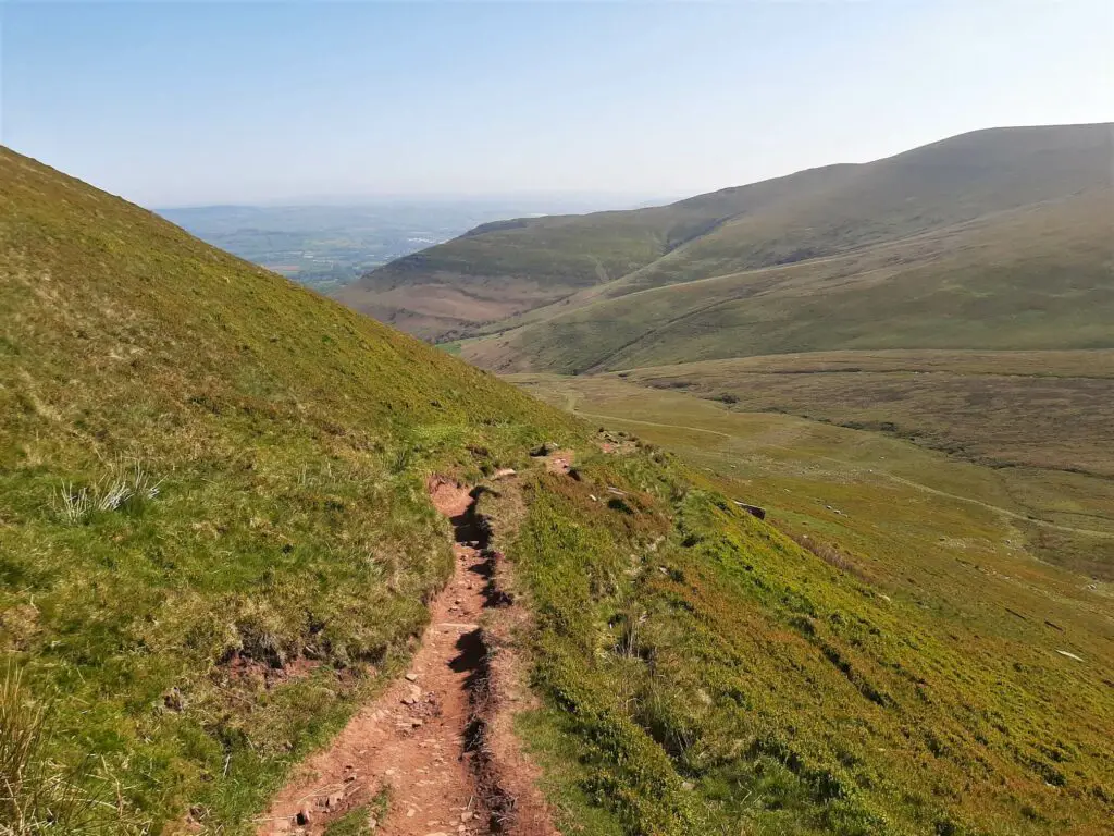
If you fancy adding a lake visit to your Pen y Fan horseshoe walk, take the path that branches off to your right along this section.
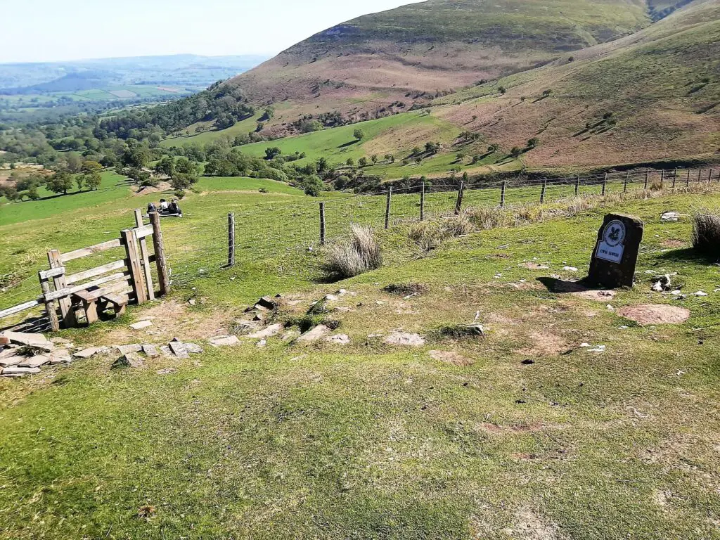
Continue the gentle descent towards the valley, crossing a wooden stile alongside a stone National Trust ‘Cwm Llwch’ sign before entering a landscape populated by trees once more.
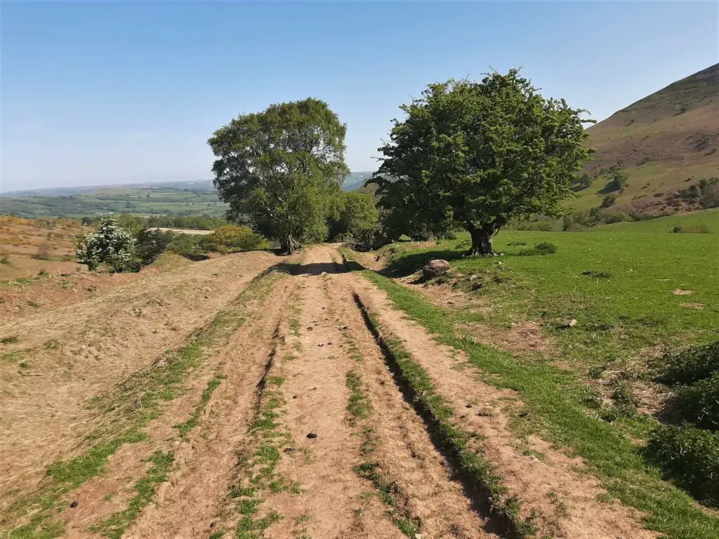
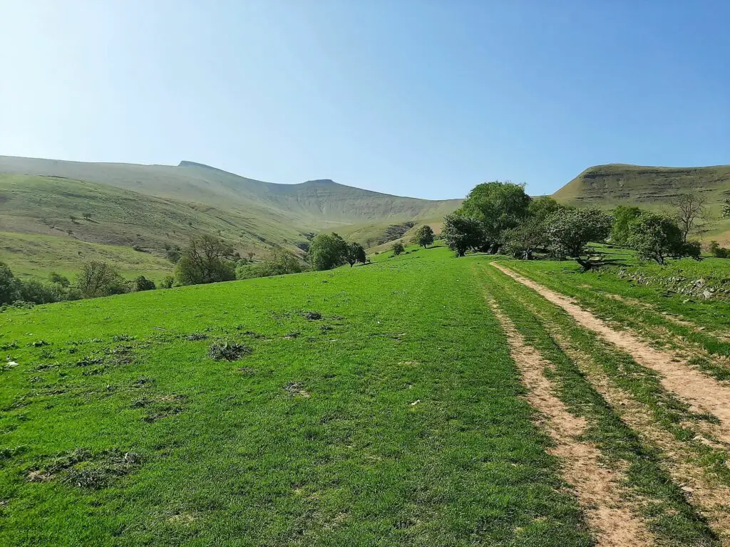
The path leads you to a small stone building with a metal gate across its entrance. Cross the two wooden stiles to the left of the gate and walk a short distance through the field, passing the stone cottage off to your right.
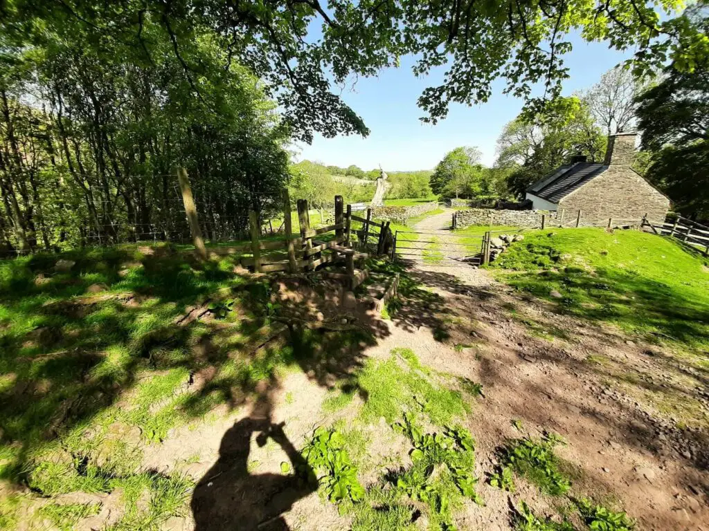
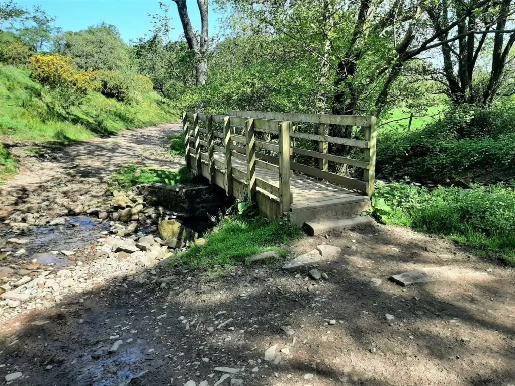
Join the track to the right of the field, continuing across a wooden footbridge and following the course of the Nant Cwm Llwch (river) into a campsite.
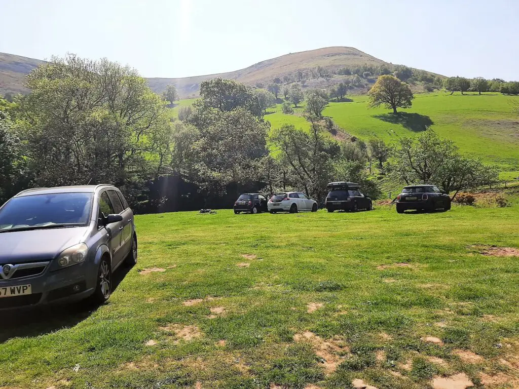
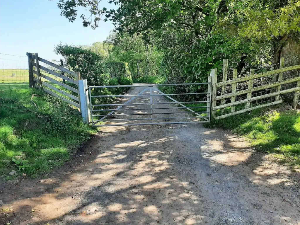
Continue along the trail until you reach a metal gate, after which you join a narrow country road.
Completing the Pen y Fan circular walk on country roads
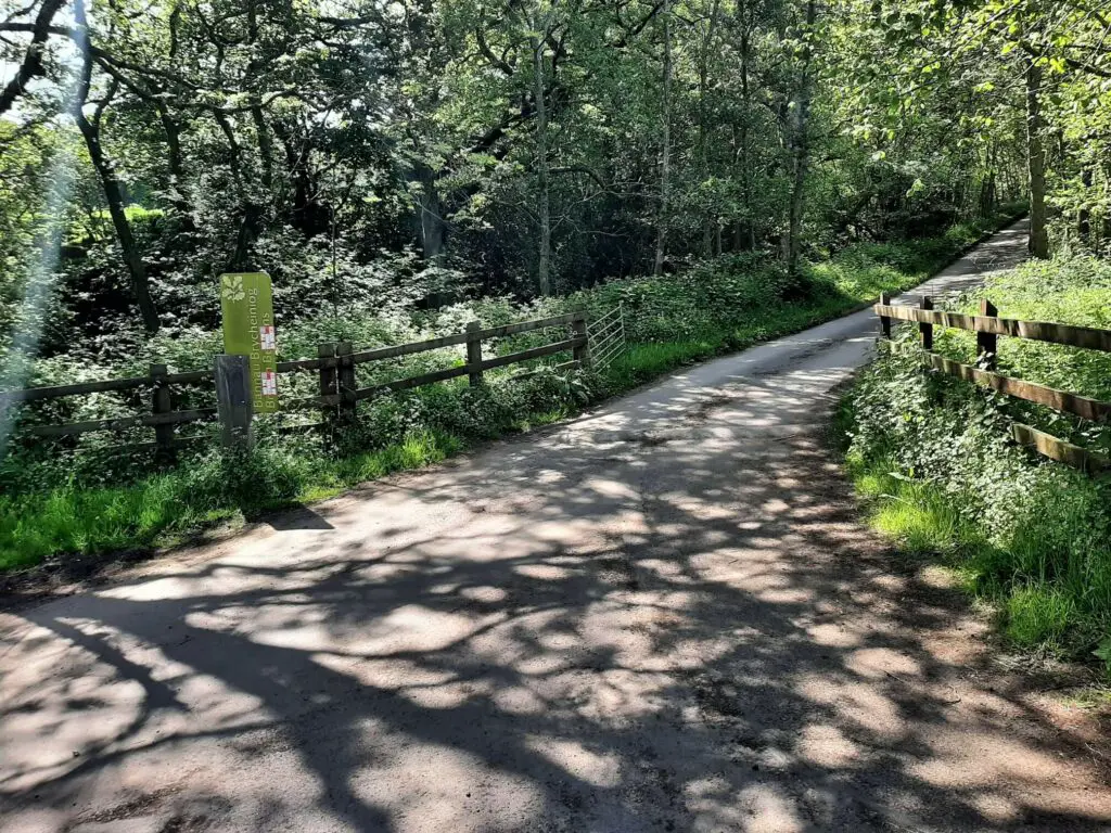
Follow the road for approximately 900 metres, turning right at the junction. Continue for a further 1.6 km, turning right once more. This turn is marked by a large ‘Bannau Brycheiniog (Brecon Beacons) sign, so you will know you have reached the right turn.
From this point, it is just a short distance up the hill to the car park.
Pen y Fan Horseshoe – Our Thoughts
Whichever route you take to the summit of Pen y Fan, it is hard not to be impressed by the spectacular scenery that greets you. However, it’s not all about the destination, and there are several routes to the summit to choose from.
These paths vary dramatically in difficulty, inspiration, and the number of hikers enjoying them. Our advice is simple: avoid the overcrowded and uninspiring trails from the A470 (Storey Arms and Pont ar Daf).
Instead, consider the Brecon Beacons horseshoe ridge walk from the south, routes from the east via the Beacons Way and Cambrian Way or the Pen y Fan Horseshoe from Cwm Gwdi (described here).
Yes, these alternatives are more challenging, but they are more varied and exciting, and you will undoubtedly enjoy sections in complete solitude.
The only negative point I can offer about the Pen y Fan horseshoe from Cwm Gwdi is that the last 2.8 km of the hike are on country roads. They may be quiet country roads, but following the beautiful terrain that came before, you can’t help but feel a little disappointed.
However, don’t let this detract from what is otherwise a wonderful hike and one that you must consider if you plan on visiting Pen y Fan.
Pen y Fan – Q & As
Is Yr Wyddfa (Snowdon) harder than Pen y Fan?
Absolutely! All routes up Yr Wyddfa are more difficult than the toughest trail to the summit of Pen y Fan.
What is the hardest route to Pen y Fan?
The 9.09 miles (14.63 km) Brecon Beacons horseshoe ridge walk from the south is the most challenging route to the summit of Pen y Fan. Apart from taking in Pen y Fan, it includes the summits of Corn Du, Cribyn and Fan y Big.
What does Pen y Fan mean in English?
“Pen y Fan” is a Welsh term that translates to “The Top or Head of the Peak” in English.
Does Pen y Fan have snow?
Yes, Pen y Fan can experience snow during the winter months, particularly from December to February. Due to its elevation of 886 metres (2,907 feet) above sea level, it is not uncommon for snow to accumulate on the summit and the surrounding peaks.
Is Pen y Fan suitable for dogs?
Absolutely! The central Brecon Beacons is a wonderful location to share with your four-legged friends. However, please check the dog guidance from the National Trust.
Is Pen y Fan classed as a mountain?
Yes, Pen y Fan is considered a mountain. It meets the criteria to be classified as such based on its elevation of 886 meters (2,907 feet).
Is Pen y Fan busy?
As the highest peak in southern Britain, Pen y Fan attracts walkers from far and wide. Approximately 250,000 individuals climb to the summit yearly, making this a popular destination.
The most popular routes to the summit start from Pont ar Daf and Storey Arms on the A470. Choose one of the alternative routes for not only a better hike but to avoid the crowds too.
Have you experienced this trail?
If you have, please share your experience with our readers and us. Please let us know if you have any questions we still need to answer, and we will get back to you as quickly as possible.
Like Our Article? Please Pin it!

Leave a Reply