Yosemite National Park
Take the Mist Trail to Vernal Fall and Nevada Fall, returning via the John Muir Trail and experience one of Yosemite’s signature hikes
Hiking the Mist Trail in Yosemite National Park
With our very hectic road trip schedule, we only had one full day in Yosemite National Park. Therefore, we wanted to choose a hike that would encapsulate the Park’s many wonders.
We chose the Mist Trail John Muir loop via Vernal Fall and Nevada Fall owing to the incredible reviews it received online. Well, it most definitely lived up to the hype!
The Mist Trail is a hiking route that just keeps on giving from start to finish, with a variety of astonishing views every step of the way; towering granite cliffs, two magnificent cascades, tree-clad valley sides, and granite domes.
It may be a challenging hike but you will leave Yosemite with memories to last a lifetime!
Where is the Mist Trail?
The Mist Trail is located in the eastern section of the Yosemite Valley, starting out near Happy Isles, just east of Curry Village.
Where to park for the Mist Trail?
The nearest car park to the Mist Trail is the Yosemite Valley trailhead parking area. However, if this is full, any of the car parks in the eastern Yosemite Valley will be fine as you can jump on one of the free shuttle buses that will drop you close to the trailhead.
Mist Trail parking, especially close to the trailhead, is always in high demand. Typically, the Yosemite Valley trailhead car park is closed in the peak season after the early morning. So, arrive early!
Where does the Mist Trail start?
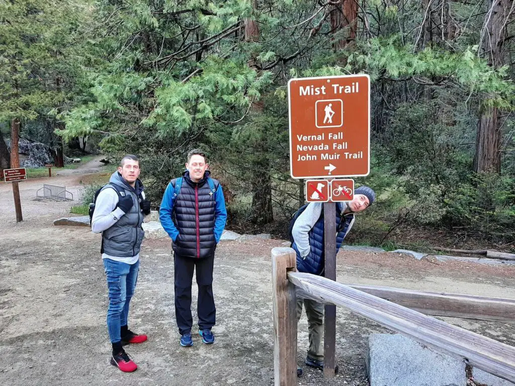
The official Mist Trail trailhead is located 1.06 miles (1.7 km) along our described route, or 315 metres after you cross the Vernal Fall footbridge.
However, the actual starting point of this described hike is the John Muir trailhead which is located a short distance after the Happy Isles Loop Road crosses the Merced River. Both trailheads are highlighted on this map.
How to get to the Mist Trail?
By Car:
If you manage to grab a parking spot in the Yosemite Valley trailhead car park, you will have to walk approximately 0.5 miles (0.8 km) east along Happy Isles Loop Road to reach the John Muir trailhead (start of this hike). This is an extra 1 mile (1.6 km) that you will have to add to the overall hike length.
By Shuttle:
If you park in the eastern section of Yosemite Valley, the East Valley shuttle will be the best service for you. This route covers Yosemite Village, Curry Village, Pines campgrounds, as well as the trailheads in the eastern Yosemite Valley (including the Mist Trail). Buses operate one way only, every 8 to 12 minutes from 07:00 to 22:00.
If you park further west in the Yosemite Valley, the Valleywide shuttle will be your choice. This route caters to all stops in Yosemite Valley, including lodges, food service, campgrounds, and trailheads. Buses operate every 12 to 22 minutes from 07:00 to 22:00.
For the Mist Trail hike, you will need to get off at shuttle stop 16 (both services stop here). Then, head approximately 200 metres east across the Merced River to the John Muir Trailhead.
For further information relating to getting about, visit the Yosemite Valley Shuttle System page.
Mist Trail Route Description
John Muir Trailhead to Vernal Fall Footbridge
- Distance: 0.87 miles / 1.4 km
- Elevation Change: 140 metres (459 feet)
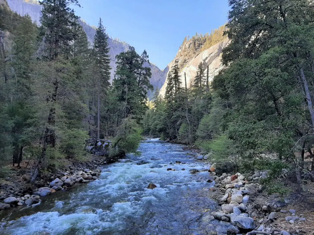
Head south along the flat, paved trail that runs alongside the Merced River. After approximately 200 metres the path veers to the left and a moderate climb commences.
The path now meanders its way along the left edge of the towering granite valley sides during this initial stage of the hike to Vernal and Nevada Falls via the Mist Trail.
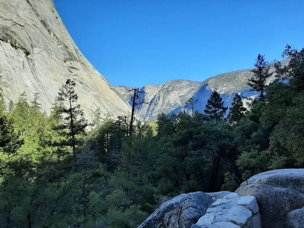
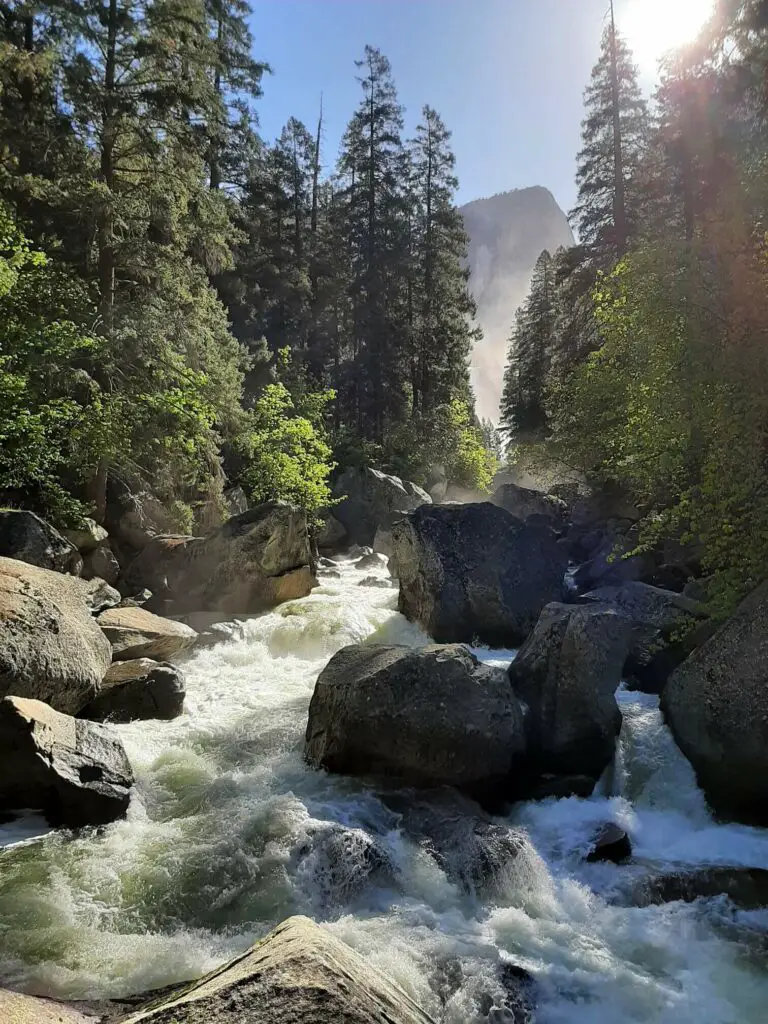
Eventually, the trail begins to descend slightly and then crosses the Merced River via the Vernal Fall footbridge. Now, take a moment to glance upstream and you will catch a glimpse of Vernal Fall for the first time.
Vernal Fall Footbridge to Top of Vernal Fall
- Distance: 0.61 miles / 0.98 km
- Elevation Change: 169 metres (554 feet)
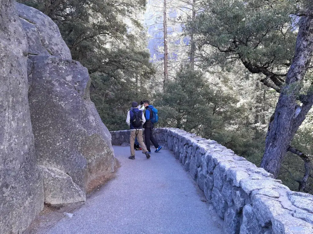
Once across the footbridge, the path continues to climb once more. Then, after around 315 metres the John Muir Trail leads sharply off to the right. It is at this point that you have a choice to make…
Option 1: Turn right and follow the John Muir Trail to the top of Nevada Fall, returning via the Mist Trail
Option 2: Continue straight onto the Mist Trail (this is the official Mist Trail trailhead) to the top of Nevada Fall, returning via the John Muir Trail
We selected option 2 for the Mist Trail John Muir loop as witnessing both the falls as you climb towards them was a big part of the experience for us.
Upon passing the John Muir Trail turn-off, the Mist Trail remains paved as it passes through pine trees that adorn the steep valley side.
Soon, the canopy clears as the path breaks out of the trees, now exposing the dramatic, sheer granite cliff towering upwards to the right. Meanwhile, off to the left of the trail is an abrupt drop-off to the Merced River below.
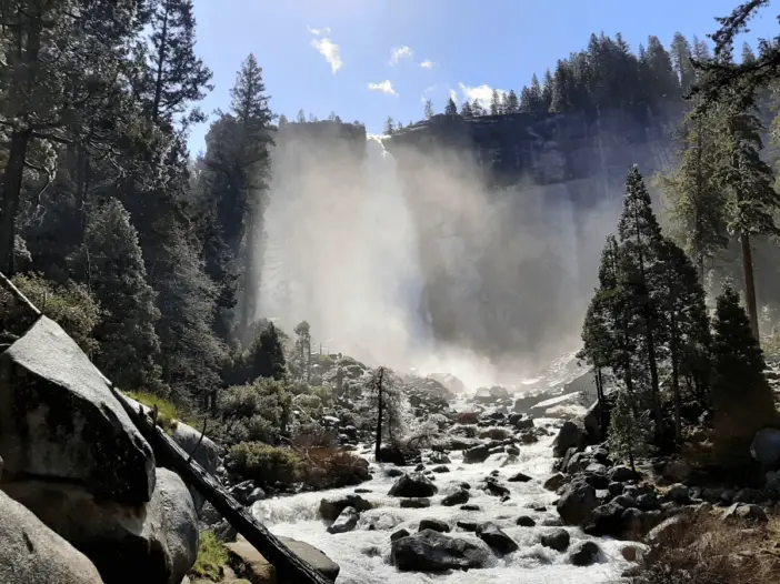
Soon, Vernal Fall comes into sight and as it does the first of 600 granite steps commence that will lead you to the top of the cascade.
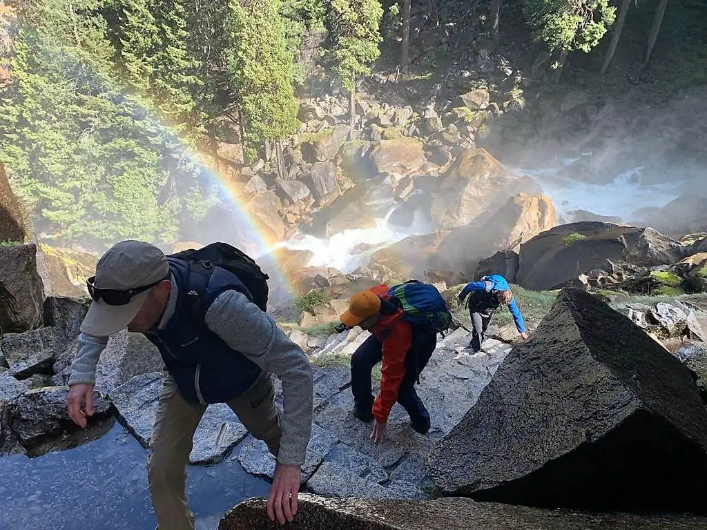
It is also at this point that the mist generated from the falls will begin to hit you, especially if you are enjoying the Vernal Fall hike in peak runoff (April-June).
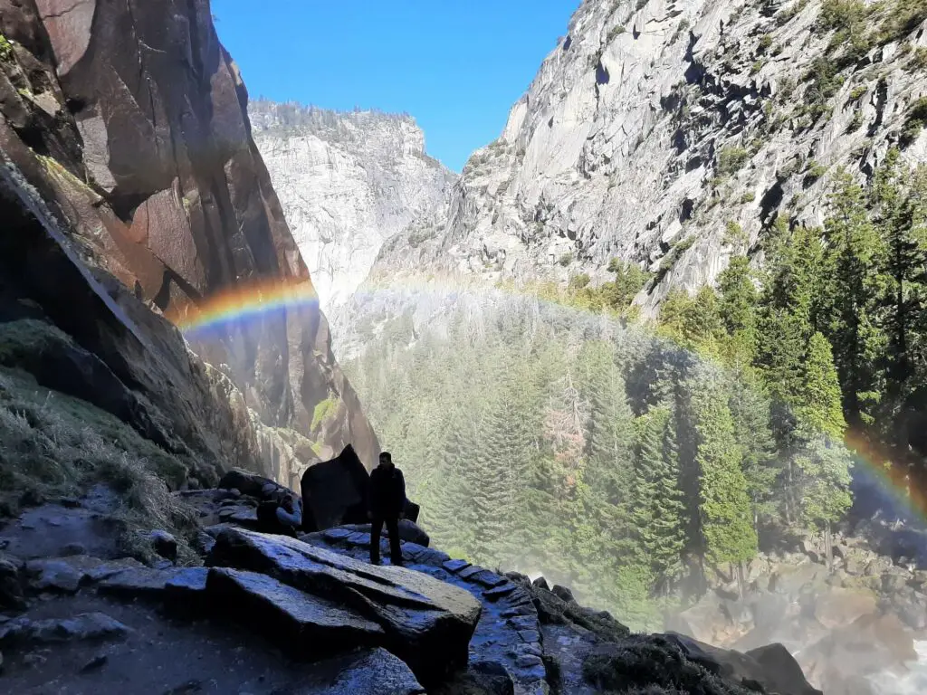
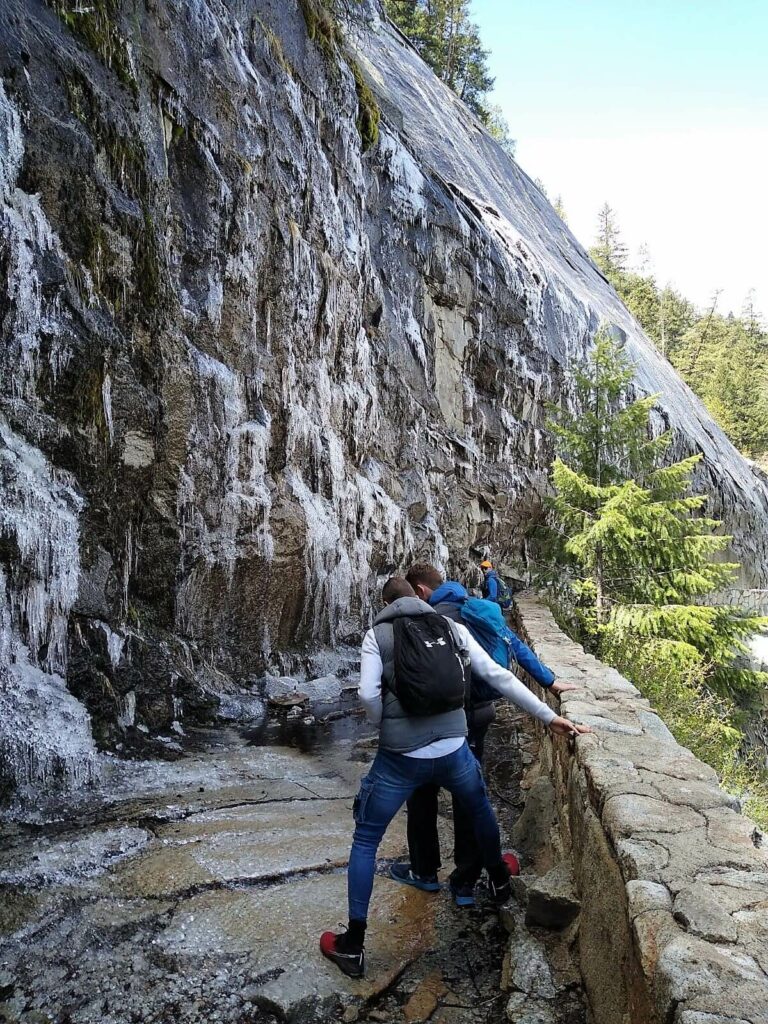
As a consequence, the steps can be incredibly slippery. We experienced the Yosemite Mist Trail hike in early May and with the temperature hovering around zero, a layer of ice had formed across many of the steps, making the climb far more treacherous.
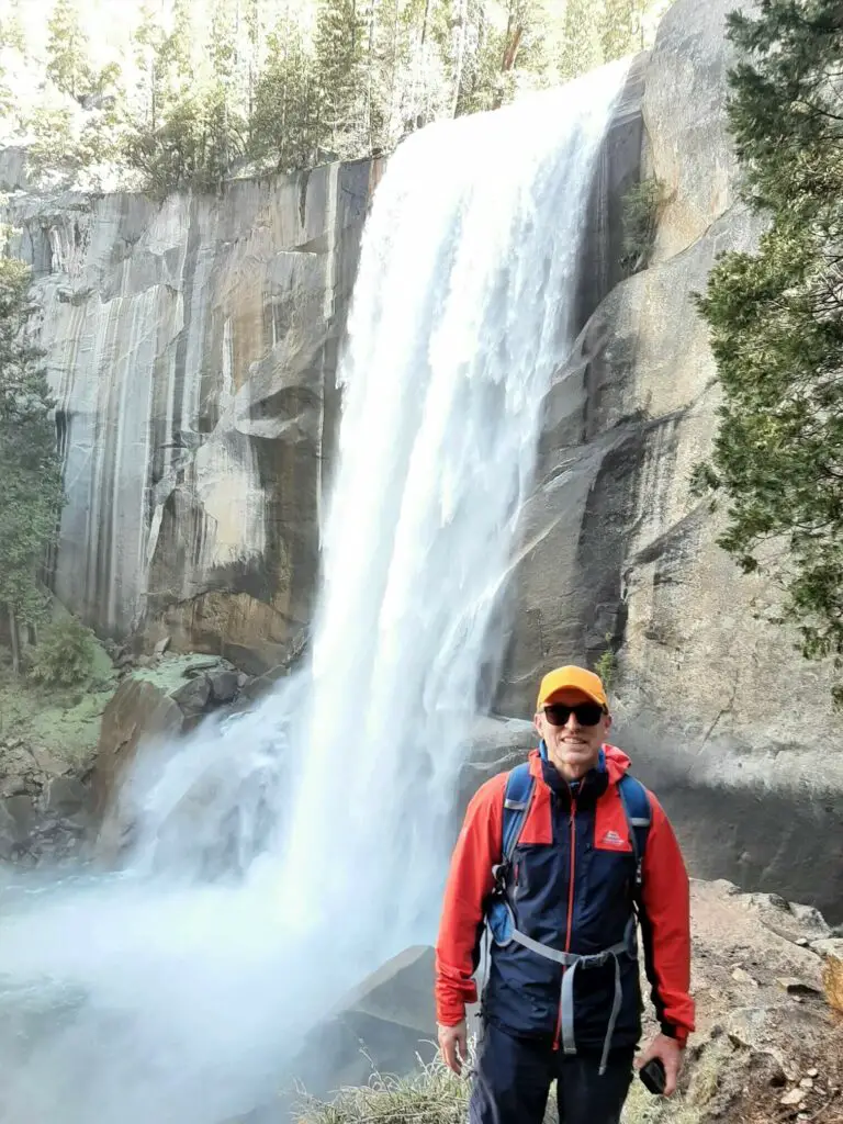
The trail then briefly winds away from the falls giving you some respite from the mist cloud. Shortly after, the trail cuts back towards the falls via a very narrow path built into the granite cliff face. Thankfully, there is a handrail along this stretch!
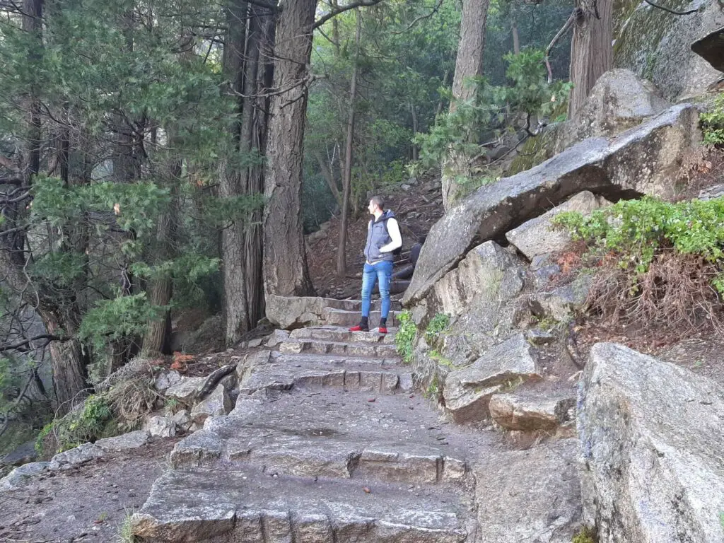

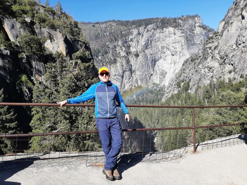
The trail breaks out above Vernal Fall, so you have to hike a short distance down to the top of the cascade. Here, you can stand alongside the 96.6 metre (317 feet) falls, enjoying the majestic vistas of the valley below.
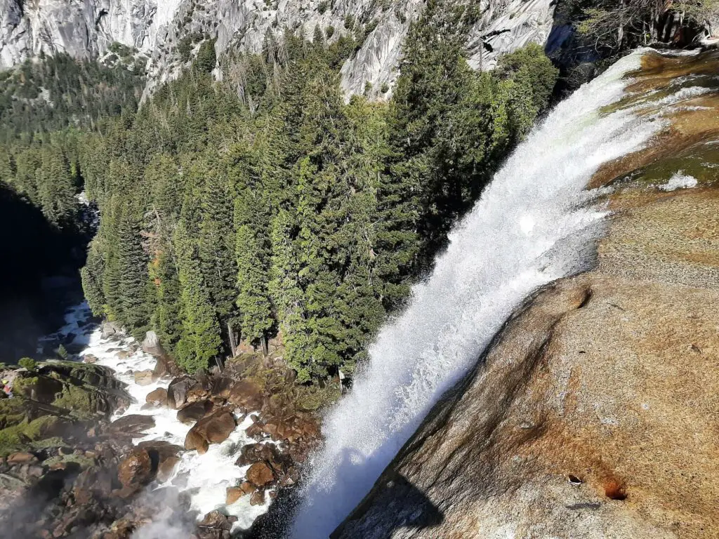

Top of Vernal Fall to Top of Nevada Fall
- Distance: 1.37 miles / 2.2 km
- Elevation Change: 256 metres (840 feet)
Once you have had your fix of Vernal Fall, head upstream sticking close to the fence/river bank on your left.
For approximately 150 metres the trail runs parallel to the wide section of the Merced River known as Emerald Pool. Then, the path cuts to the right and begins to climb.
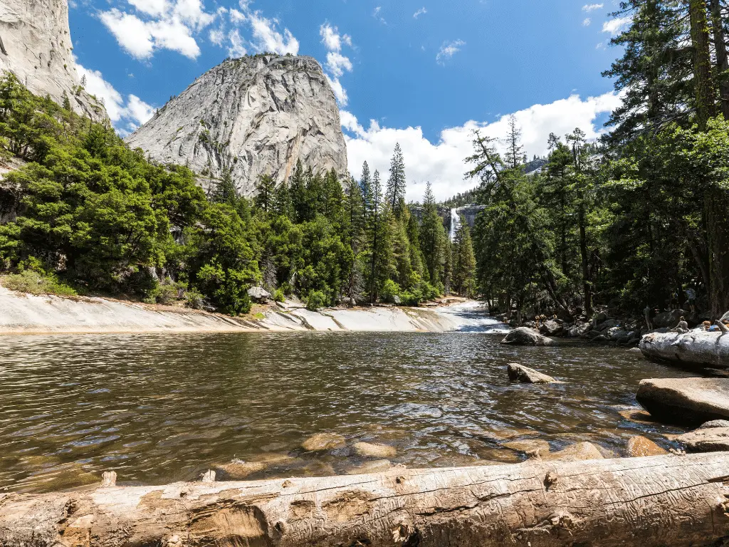
The Mist Trail becomes very rocky at this point but the path remains easy to follow nonetheless. Shortly, you will pass a route leading off to the right, known as the Clark Point Cut-Off.
Continue straight ahead at this point and soon after the first glimpses of Nevada Fall will come into sight above the pine trees directly ahead of you.
The trail then drops down to the river once more but this time you cross the Merced via the wooden footbridge.
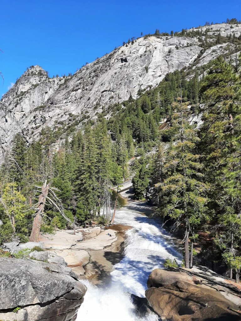
Now, the path starts ascending yet again, leading away from the river at first, before switching back to the right and leading you to a flat area a short distance from the river.
This is a great spot to see Nevada Fall in all its glory for the first time. Break from the trail momentarily and head towards the river to enjoy the view.
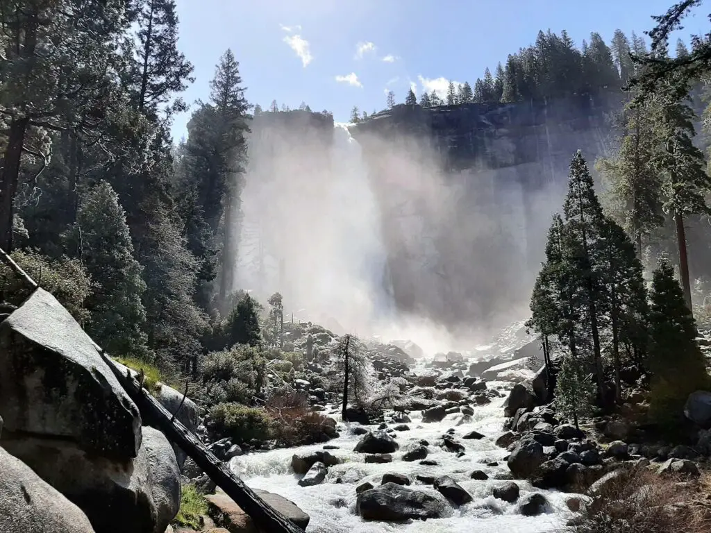
Return to the path and continue climbing the rocky trail through the pine forest, until it breaks from the trees for some dramatic and much closer views of Nevada Fall.
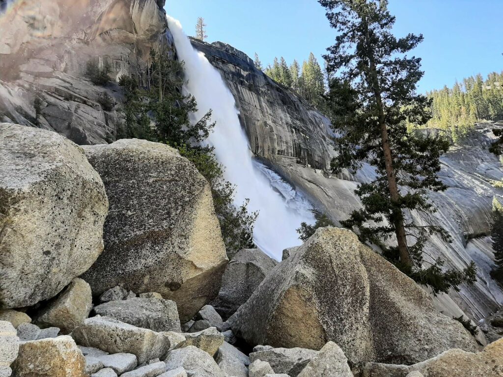
It is now just a case of completing one last steep section of switchbacks before finally hitting the summit!

At the intersection, you will see a sign. This is the point where the Mist Trail ends and you join the John Muir Trail.
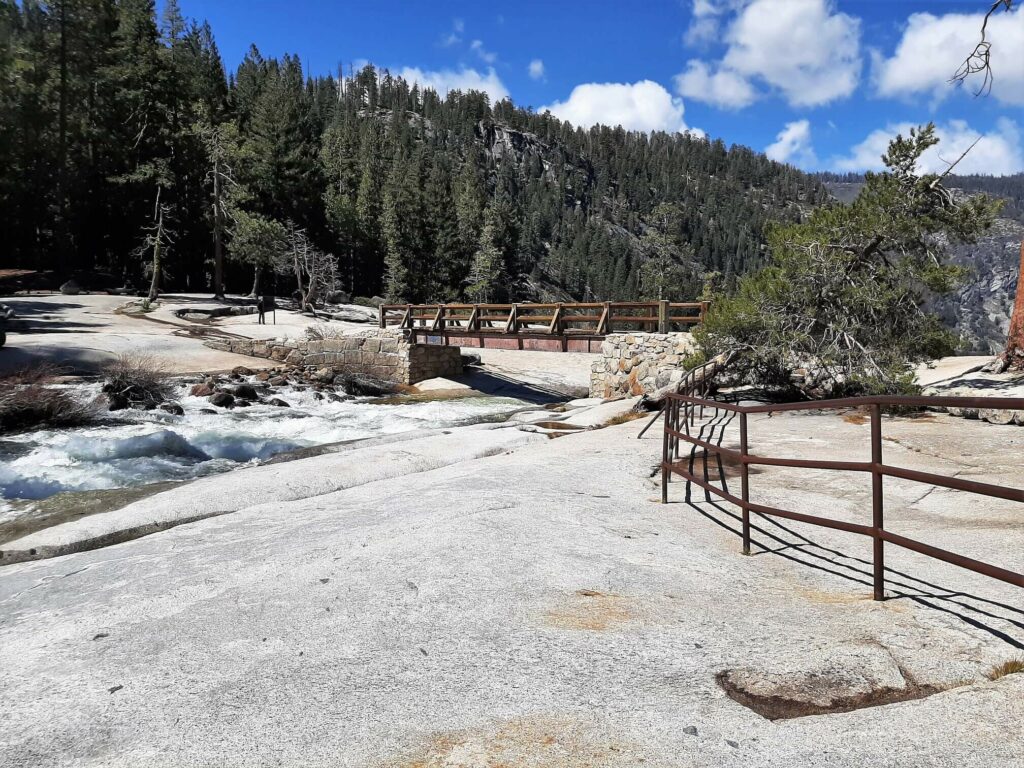
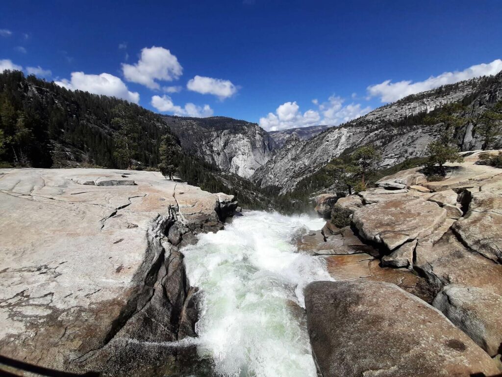
Turn right and head down towards the top of the falls where there is a footbridge just a short distance from where the Merced River tumbles 181 metres (594 feet) into the valley below.
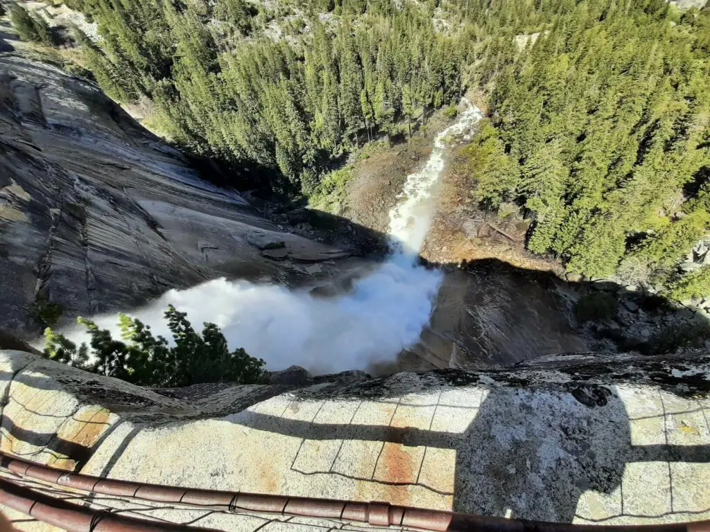
If you want to get the best view of the Nevada Fall plunging onto the rocks below, head to the right of the waterfall where you can stand at the edge behind safety fencing and enjoy the spectacle.
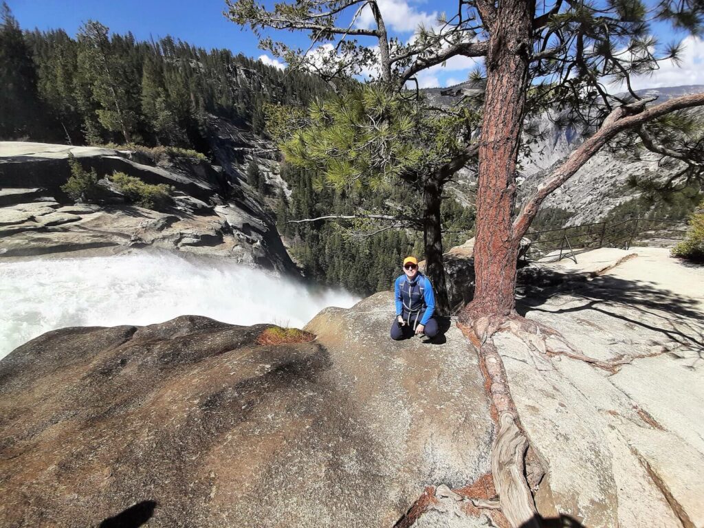
The views all around you at the top of Nevada Fall are truly out of this world. In addition to the breathtaking waterfall and valley views, you also have the towering Liberty Cap, one of Yosemite’s many granite domes, that sits a short distance off to the north.
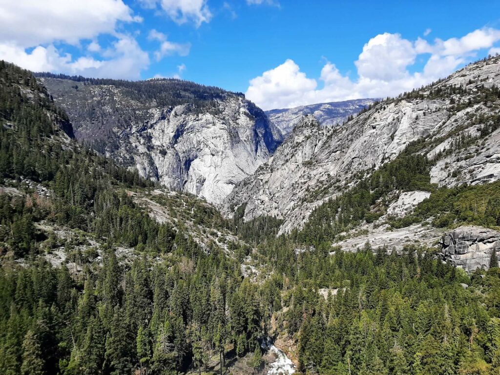
Return Via the John Muir Trail
- Distance: 3.67 miles / 5.9 km
- Elevation Change: -565 metres (-1854 feet)
To commence the descent, cross the footbridge at the top of the falls, heading across the flat rock until the trail enters the woods.
After approximately 500 metres, you exit the woods and unbroken views across the valley to the north greet you.
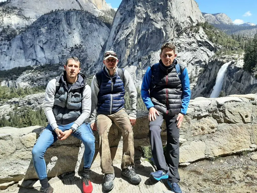
It is a magnificent panorama including Nevada Fall, Liberty Cap, and the more distant Half Dome. If ever you wanted a reason for completing the Mist Trail John Muir loop, this is it!
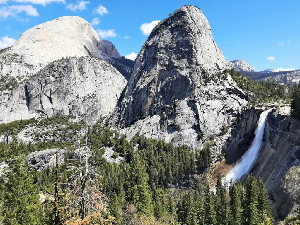
As soon as you pass this point, the trail begins its gentle descent along a predominantly rocky path. Simply follow the trail until it arrives at Clark Point.
You will know that you have arrived here as there are now two trail options plus a long rectangular information board indicating that “You are at Clark Point”.
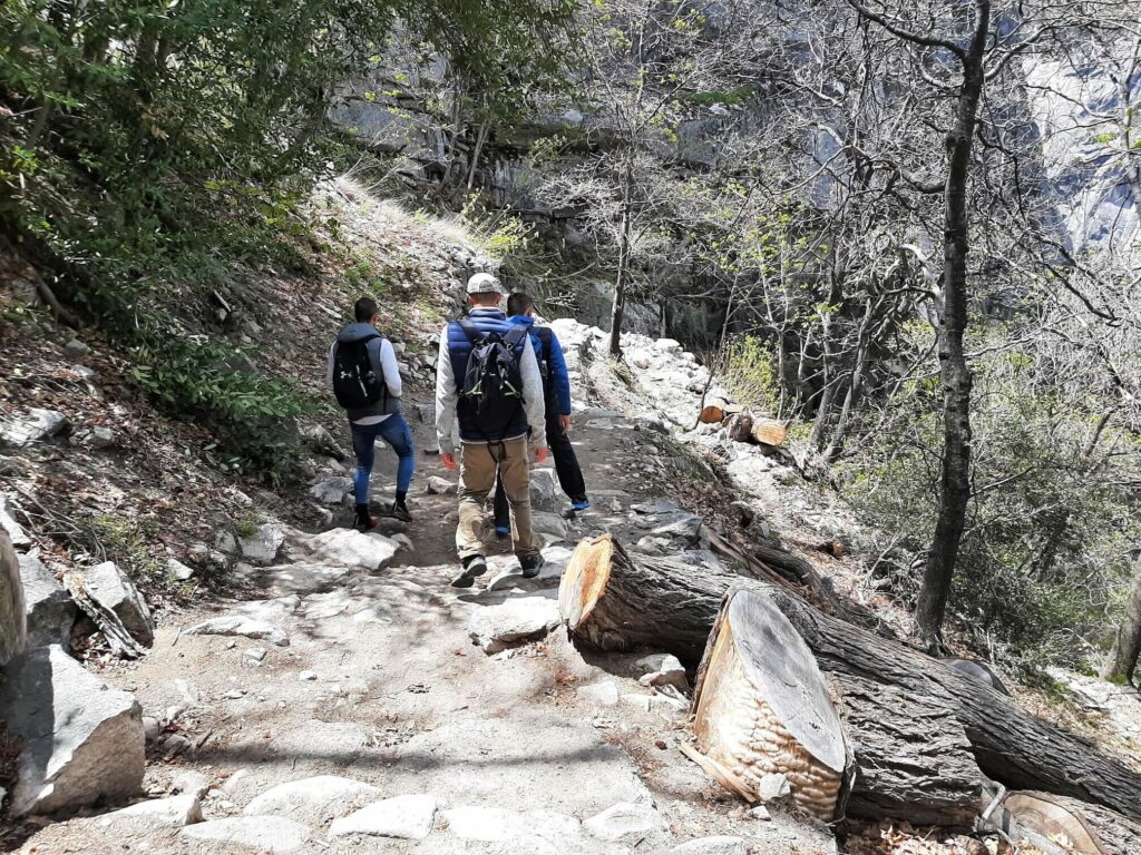
Take the path that cuts sharply to the left and continue the descent. For the next 1.3 miles (2.1 km) the trail drops back into the valley via a multitude of switchbacks, eventually intercepting the trail adjacent to the official Mist Trail trailhead.
Turn left and retrace your steps to the starting point at the John Muir trailhead at Happy Isles. The Mist Trail and John Muir Trail loop is complete!
Mist Trail – Our Thoughts
From the moment I stepped out of the car and looked around, I knew that we were going to be in for a real treat!
This hike is certainly not all about the destination though. Within minutes of the start, I was mesmerised by the towering granite cliffs, followed by the two magnificent waterfalls.
If that wasn’t enough, the wonderful panorama of Nevada Fall, Liberty Cap, and Half Dome as you descend via the John Muir Trail is hard to beat.
I finished this hike feeling a genuine sense of satisfaction and wondered how any day hike could really top this one. To date, it certainly heads my list!
There is really little surprise that the Mist Trail is one of Yosemite’s most popular hikes. For this reason, if you want to enjoy the wonders of this natural setting without the crowds, you had better arrive early.
Finally, if you want to see the waterfalls in full flow, plan your visit between April and June when the falls are at their thundering best.
Mist Trail – Q & As
How long does the Mist Trail take?
The Mist Trail John Muir loop described in this post took us 3 hours and 45 mins to complete. However, I would allow anywhere up to 6 hours to complete the trail.
How long is the Mist Trail in Yosemite?
The actual stretch of path known as the Mist Trail is only 1.55 miles (2.5 km) in length (one way). This starts a short distance north of the Vernal Fall footbridge and ends at the top of Nevada Fall when it joins the John Muir Trail.
However, the route that I have described here is the Mist Trail and John Muir Trail loop, starting/finishing at the John Muir trailhead at Happy Isles. This hike totals 6.34 miles (10.2 km).
Is the Mist Trail difficult?
I would definitely consider this to be a strenuous hike.
Is the Mist Trail dangerous?
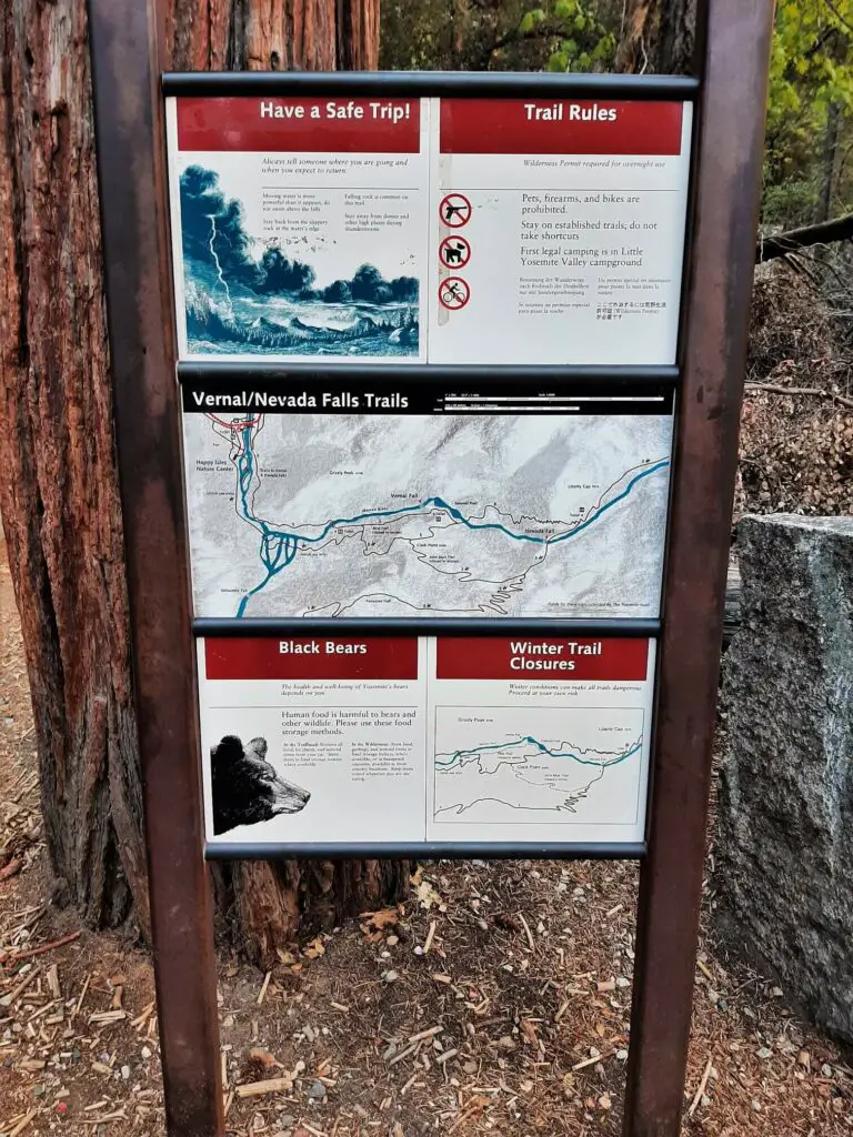
There are certainly a number of potential hazards along the trail but if you abide by the rules and follow the information that is clearly signed, you should be fine.
However, the section of the Mist Trail approaching Vernal Fall via the many granite steps is treacherous. This is especially the case in spring when the steps are wet from the mist generated from the cascade crashing on the rocks.
How many Mist Trail Deaths have there been?
I have been unable to find a definitive figure on how many people have lost their lives on the Mist Trail but suffice to say that many have died over the years. Here is a selection of stories highlighting this:
- 2013 Los Angeles Times article talks of 14 people perishing on the Mist Trail in the preceding 10 years.
- 2019 SFGATE article talks of a young man who dangled from a rock above Nevada Fall for a photo, only to slip to his death.
- 2019 ABC News article reports on a woman killed by falling rock and ice on the Mist Trail.
So many of these Yosemite Mist Trail deaths could have been avoided by individuals simply being more responsible on the trail. Abide by the rules, pay close attention to the trail conditions, pick your weather and go prepared.
Don’t let a wonderful hike be the end of you!
Is the Mist Trail kid-friendly?
I would not recommend bringing young children on this hike.
When is the best time to hike the Mist Trail?
Simply, when the Merced River is in full flow meaning the Vernal and Nevada Falls are at their most impressive. This is typically anywhere between April and June when the mountain snowpack begins to melt.
Furthermore, if you want to avoid the crowds, I suggest you arrive EARLY. This is one of Yosemite’s most popular hikes after all.
Are dogs allowed on the Mist Trail?
Although Yosemite is a pet-friendly National Park, dogs are not allowed on most hiking trails including the Mist Trail.
However, there are exceptions for those who wish to take their dogs hiking with them. Discover which ones, as well as additional information about bringing your dog to Yosemite.
What are the latest Yosemite Mist Trail conditions?
All the current National Park conditions including alerts, cautions, and the status of the roads, can be viewed on the National Park Service website.
If there is anything specific pertaining to the Mist Trail, this is where you will find the information. So, this is definitely worth checking prior to heading to Yosemite.
Mist Trail Safety
As I mentioned above, many people have and will continue to lose their lives on the Mist Trail. Many of these deaths could have easily been avoided if simple trail rules were followed. Please read:
- Remain on the trail at all times – venturing off the trail to take great photos if simply not worth the risk.
- Keep away from the river – swimming or paddling may seem appealing, especially in hot weather, but the current can be deceptively strong. This has led to numerous deaths!
- Signs and railings are in place for your safety – observe the signs and never cross railings.
- Carry a flashlight – you never know what might happen on a hike and you could find yourself hiking back in the dark.
- Carry a first aid kit – slips and trips leading to sprained ankles, cuts and bruises are commonplace. I should know as I fell on the way down the John Muir Trail cutting my hand and leg.
- Bring plenty of snacks and water – on a demanding hike, it is important to keep your energy levels up so carry sufficient energy snacks and the right quantity of water.
- Bring a phone – fully charged of course plus a charging block.
- Tell someone where you are going and what time they should expect you home.
Have you experienced this trail?
If you have, please share your experience with us and our readers. If you have any questions that we have not answered here, please let us know and we will get back to you just as quickly as we can.
Like Our Article? Please Pin it!

Leave a Reply