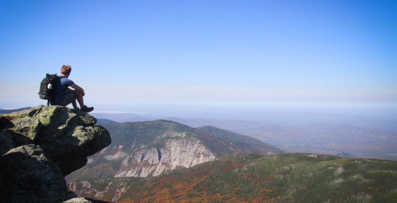
White Mountain National Forest, New Hampshire
The Franconia Ridge Loop Trail in New Hampshire’s, White Mountain National Forest is a breathtaking day hike, especially in the fall, when you will simply be blown away by the Forest’s rich tapestry of colors
Hiking Franconia Ridge
Let me just start this post by saying that the Franconia Ridge Loop Trail is the best fall hike I’ve ever done in my life. Having lived in Vermont (on the border with New Hampshire) for two years, I was lucky enough to experience New England and explore its landscapes in every season—twice.
I’ve done my share of fall hiking in New Hampshire, while countless hours were spent simply driving around and enjoying the spectacular foliage.
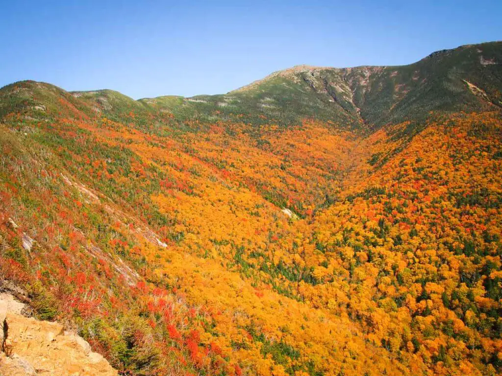
The White Mountains in New Hampshire were my preferred hiking destination, with Vermont’s Green Mountains a close second. I’ve hiked in virtually every corner of those mountains, but no trails really compared to the Franconia Ridge Loop. If you’re visiting New England in the fall and would like to do a relatively challenging day hike, this is the one!
Hiking the Franconia Ridge Loop Trail in White Mountain National Forest, New Hampshire
The Franconia Ridge Loop is easily one of New England’s top day hikes, a must-do trail for all hiking enthusiasts. Although it’s a fairly strenuous hike, once you’re at the ridge, the views are nothing short of phenomenal, taking in much of the White Mountains.
In fall, the slopes and valleys below you are cloaked in warm colors of all kinds, from bright yellows to vibrant oranges to ruby red and deep purple. This is the Northeast at its most beautiful, a scene that, if you’re doing this hike on a clear and sunny autumn day, will stick with you for many years!
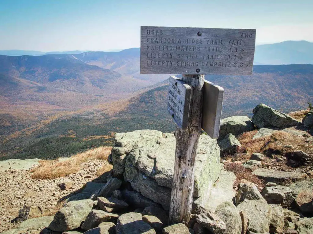
The Franconia Ridge is the second-highest mountain ridge in White Mountain National Forest, after the majestic Presidential Range with towering Mount Washington as its centerpiece.
“Looking to go hiking in Maine? Well, check out some of these hikes”
The trail along the ridge described here includes three different peaks: Little Haystack, Mount Lincoln and Mount Lafayette. All three summits are so-called 4,000-footers—mountains that are at least 4,000 feet high. Respectively, they’re 4,780 feet, 5,089 feet and 5,240 feet.
Located in the western part of the White Mountains, just off I-93 in Franconia Notch, the trailhead is at Lafayette Place Parking, across the interstate from the Lafayette Place Campground.
The trailhead is called Old Bridle Path Trailhead, from which the Old Bridle Path leads to the Falling Waters Trailhead. This is the start of the actual Franconia Ridge Loop.
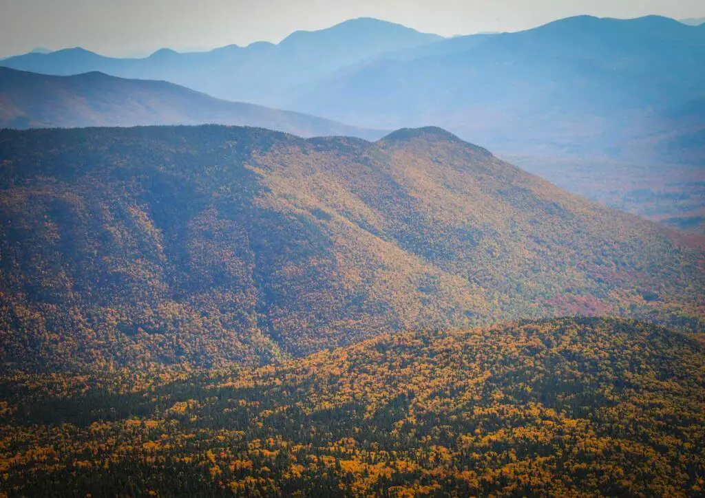
Since this is a loop hike, you can do it in two different directions. I personally prefer the counterclockwise option for the simple reason that, once you’re up on the ridge, the sun will be at your back (you’ll hike north on the ridge).
Four Trails Make Up the Franconia Ridge Loop
Although it’s popularly known as the Franconia Ridge Loop Trail, this hike actually consists of four different Franconia hiking trails.
Falling Waters Trail
After about 0.2 miles on the Old Bridle Path, you’ll arrive at the intersection with the Falling Waters Trail. The Old Bridle Path continues straight, while the Falling Waters Trail turns to the right.
I followed the latter on its way up the slope along Dry Brook. The trail crosses the brook several times and there are a number of beautiful waterfalls and cascades along the way.
Approximately 1.6 miles later, you’ll notice that the trail begins getting steeper. Along its steepest section, there are several switchbacks. In fact, the last straight section before arriving at the Little Haystack summit is super-steep and might even involve some use of your hands. This summit is the end of the Falling Waters Trail, a 3.2-mile hike from the trailhead to the summit.
Franconia Ridge Trail
Take some time to enjoy the views at the top—you’ve earned it! When you’ve caught your breath and are ready to continue the hike, turn left (northward) onto the Franconia Ridge Trail. This is the section that makes hiking Franconia Ridge so incredibly worth it.
“Thinking of hiking in Arizona? Don’t miss these day hikes!”
The Franconia Ridge Trail, which runs along the Franconia Ridge, is actually a part of the legendary Appalachian Trail. From the top of Little Haystack, it’s 1.7 miles to the summit of Mount Lafayette.

As the highest peak in the White Mountains outside of the Presidential Range, this is the ultimate destination on this amazing hike.
It’s not an overly long section, but the wide-open panoramic views in all directions cause you to stop much more often to soak up the wonderful views. In fact, it took me almost 1.5 hours to hike those 1.7 miles—I spent a lot of time taking photos and simply enjoying the fall scenery all around me. You’ll cross the summit of Mount Lincoln on the way, which ended up being my favorite viewpoint on the entire hike.
The Franconia Ridge Trail offers truly breathtaking views of the Presidential Range and Pemigewasset Wilderness to the east, while the Kinsman Range, Franconia Notch and Cannon Mountain dominate the landscapes to the west.
Greenleaf Trail
At the summit of Mount Lafayette, the Franconia Ridge Trail continues onward, while the Greenleaf Trail swings to the left and down the slope. Follow this trail for about 1.1 miles until you arrive at the Greenleaf Hut, basic accommodation offering a place to stay and meals for long-distance hikers on the Appalachian Trail.
Take your time here—there are some amazing views of Mount Lafayette and Eagle Lake to enjoy.
Old Bridle Path
Beyond and below the Greenleaf Hut, the Greenleaf Trail becomes the Old Bridle Path. Just over 1.5 miles down this trail, you’ll come across a few lookouts that offer glorious views. There’s a clear view of Franconia Ridge above, while the huge Walker Ravine opens up below you.
About 2.7 miles later, the Old Bridle Path ends up at the Falling Waters Trail intersection again, the place where you started your Franconia Ridge loop hike.
After a short jaunt on the Old Bridle Path, you’ll arrive at your car again.
Franconia Ridge Hike FAQ
How Long Is the Franconia Loop Trail?
Made up of four different Franconia hiking trails, the Franconia Ridge Loop hike described in this post is about 9 miles long.
- Falling Waters Trail: 3.2 miles
- Franconia Ridge Trail: 1.7 miles
- Greenleaf Trail: 1.1 miles
- Old Bridle Path: 2.9 miles
How Long Does It Take to Hike the Franconia Ridge Loop?
Some sources say that this is a 7-hour hike, but I completed it in about 5.5 hours (including lots of time on the ridge enjoying the views, having lunch and taking photos). I’d say that you should count on 6 hours for this one.
What Is the Franconia Ridge Loop Trail Difficulty?
Because some sections on the trail are pretty steep and being approximately a 9-mile hike, it’s classified as strenuous. When you take your time, though, it’s doable for most people with an average fitness level and who walk regularly. It’s not a technical hike at all.
Where Is the Trailhead Located?
The Franconia Ridge Loop Trailhead is at the Lafayette Place Parking in Franconia Notch. It’s just off of I-93, which cuts through the western White Mountains in a north-south direction. You can get to the trailhead from both directions on the interstate.
Are Dogs Allowed on the Franconia Ridge Loop?
Yes, they are, but they need to be on a leash. Note, however, that the Franconia Ridge Loop Trail is quite strenuous in some sections and is only suitable for fit dogs. Make sure your dog can handle a long day hike up a steep ridge. Additionally, the Greenleaf Hut doesn’t allow pets inside—just something to be aware of.
When Is the Best Time to Hike Franconia Ridge, New Hampshire?
In terms of the best time of the week, that’s definitely not the weekend. This is a very popular hike and weekends can get quite busy. So, ideally, you’d do this on a weekday.
In terms of seasons, on the other hand, it’s unquestionably fall. Just like most other things to do in the White Mountains, fall is the absolute best and most beautiful time to do this hike. From the ridge, and on the way up and down, the autumn landscapes are sensational. Truly some of the best I’ve seen in my life!
Where Can I Find a Franconia Ridge Trail Map?
For a visual sense of the layout of these Franconia Ridge trails, check the second page of this White Mountain National Forest hiking PDF. You’ll clearly see Mount Lafayette, Mount Lincoln and Little Haystack lined up on the right side of the map. The loop hike is pretty obvious, too.
What Are Other Amazing White Mountain National Forest Hiking Trails?
If you’d like to do some more (challenging) hiking in White Mountain National Forest, New Hampshire, there are several awesome options to choose from. Here are just a few suggestions:
- Mount Chocorua Loop Trail – 8.5 miles
- Mount Moosilauke Loop Trail – 8 miles
- Tuckerman Ravine to Mount Washington – 8.4 miles there and back
What Are Some Other Things to Do in White Mountain National Forest?
New Hampshire’s White Mountains are filled with amazing attractions and activities. From quaint tourist villages and covered bridges to waterfalls, epic hikes, scenic drives and even a historic cog railway, they make for the perfect destination for a few fun-filled days in the mountains.
Some of my personal favorite things to do and see in the White Mountains include the following:
- Mount Washington Cog Railway
- Mount Washington Auto Road
- The Flume Gorge
- Kancamagus Highway
- Bretton Woods – Omni Mount Washington Resort
- Cannon Mountain Aerial Tramway
Like Our Article? Please Pin it!


Leave a Reply