Snowdonia National Park
The Cadair Idris walk via the Minffordd Path offers hikers a real physical challenge but rewards participants with a variety of spectacular views, ranging from the peaks of Snowdonia to the coastline of west Wales
Cadair Idris Minffordd Path Circular Route
Introduction
It was Friday the 31st of August 2018 and it was just another normal working day for Didem and me. When she picked me up from work that evening, I thought that we would be heading home as normal.
With my birthday approaching on the 3rd of September, Didem had made some arrangements and had somehow managed to keep these plans entirely secret. So, instead of driving the 8 miles (13 km) home, we were heading 110 miles (177 km) north to the town of Machynlleth, situated just to the south of Snowdonia National Park.
Here we would be spending two nights in a bed and breakfast and exploring some of the local hiking trails. As you can imagine, I was very excited! At this point, we had no idea that we would be taking on the Cadair Idris walk early the following morning.
It was only once we had arrived at our wonderful bed and breakfast in the village of Forge on the outskirts of Machynlleth and got chatting to our host, that our weekend activities became clearer. When we told our host that we were in the area to enjoy the local hiking trails, she automatically assumed that we were there to climb Cadair Idris.
We had no idea just how close to the starting point of the Cadair Idris walk we actually were. So, when we discovered that we were little more than a 20-minute drive away, we instantly knew what hike we would be undertaking the following morning!
We quickly researched the various walking routes up Cadair Idris and discovered that the route talked about most favourably was the Minffordd path. This also happened to be the route with the starting point closest to our accommodation.
Where is Cadair Idris and how best to get there?
Cadair Idris or Cader Idris is a mountain in the southern section of the Snowdonia National Park in the Welsh county of Gwynedd. It is located just to the south of the market town of Dolgellau.
Owing to its fairly remote location, Cadair Idris is far less accessible from any main population centres when compared to peaks such as Snowdon to the north and Pen-y-Fan in the south.
That said, the A487 passes within a stone’s throw of the mountain. This is also known as the Fishguard to Bangor Trunk Road and runs up the western side of Wales from the Pembrokeshire town of Haverfordwest in the south to the town of Bangor, Gwynedd in the north.
If you want to know how to get to Cadair Idris, simply click the ‘Directions’ link at the top of the Cadair Idris map below and discover the best directions from your location.
Owing to the A487’s close proximity to the starting point of the Cadair Idris walk, it is also possible to arrive via bus. Check out the Cadair Idris public transport options and see if you can reach the starting point from your location.
Cadair Idris Parking
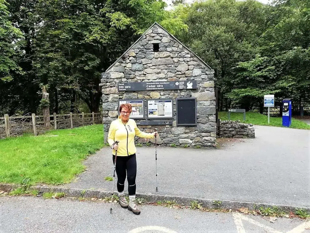
If like us, you fancy having a go at the Cadair Idris Minffordd route, then you will need to head to the Cadair Idris Minffordd car park, otherwise known as the Dôl Idris car park. This is a pay and display facility so make sure that you have some change as Cadair Idris car park charges do apply.
Cadair Idris Walk – Step by Step Guide
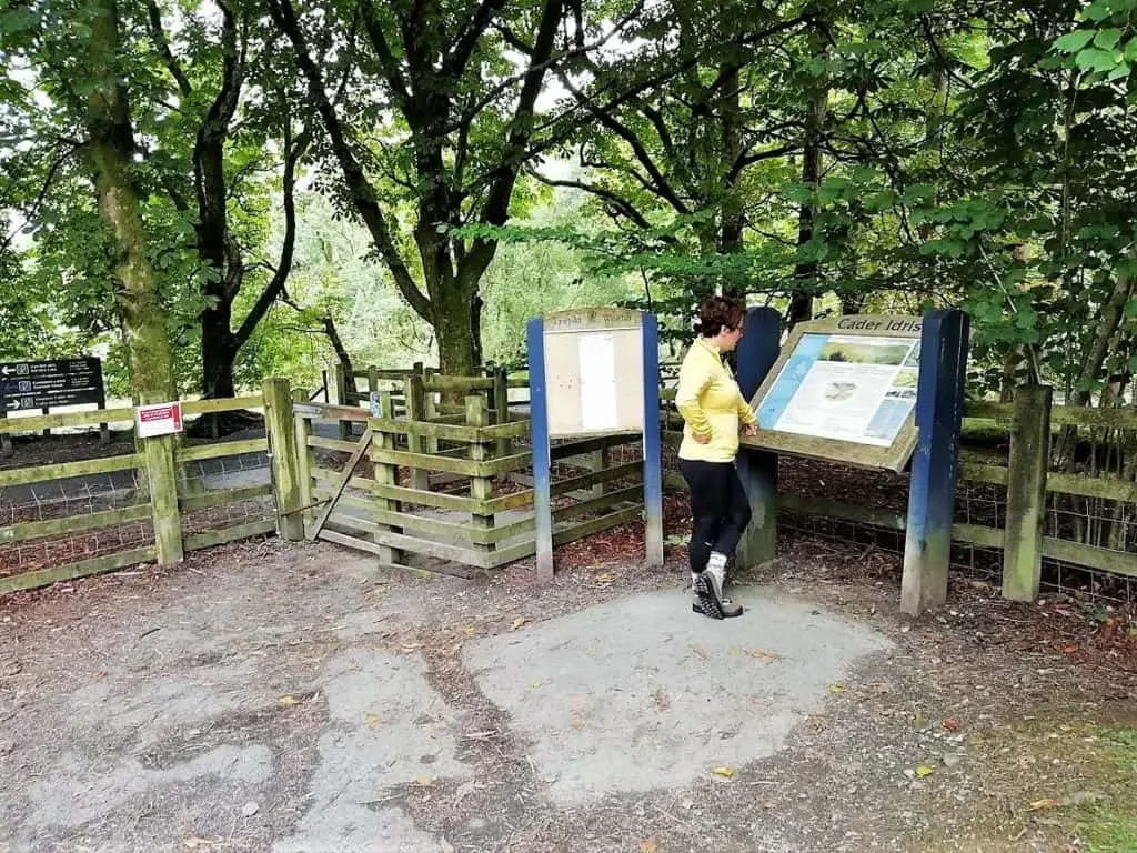
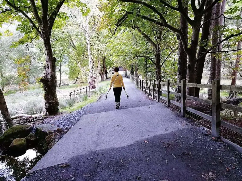
At the far end of the car park, alongside a Cadair Idris information board, pass through the wooden kissing gate and turn right. Follow this pretty tree lined gravel track for a few hundred metres until you reach another wooden kissing gate. Pass through, turn left and immediately you will see the Cadair Idris Visitor Centre and Tŷ Te Cadair Tea Room.
A short distance further on, you will catch sight of steps leading steeply upwards through lush woodland, just off to your right. This is where the Cadair Idris Minffordd path starts in earnest!
Entering the Celtic Rainforest
The first thing that you will probably notice is just how many steps there are as you climb sharply up through the steep wooded gorge. It is also hard to ignore the wide range of greens coming from the variety of foliage that adorns both sides of the gorge.
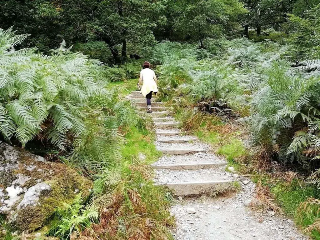
What is Celtic Rainforest?
Celtic rain forest is a unique type of forest typically found in Ireland, western Scotland, and western Wales, that sits in close proximity to the Atlantic Ocean. It forms as the result of a large number of annual rainfall days and generally high humidity. With a canopy of oak trees keeping this moisture contained, it is the perfect environment where rare species of mosses, liverworts, and lichens can flourish.
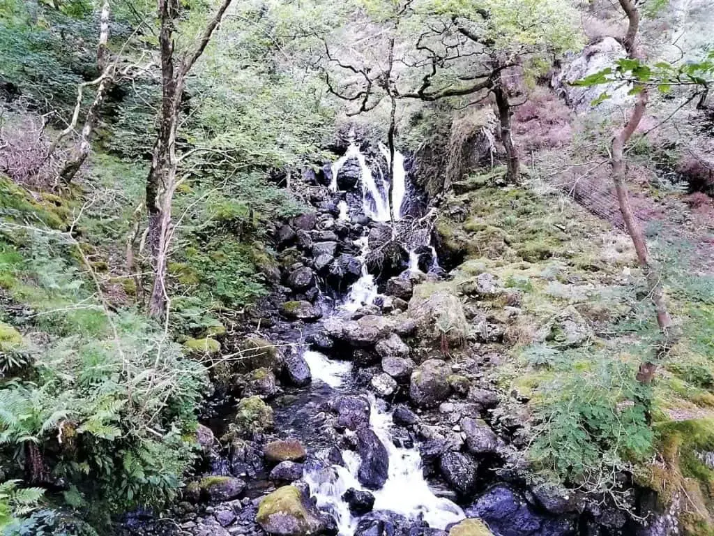
Your ears will also be treated to the wonderful sound of the fast moving stream and cascading waterfalls that tumble rapidly through the narrow gorge, right alongside your route up Cadair Idris.
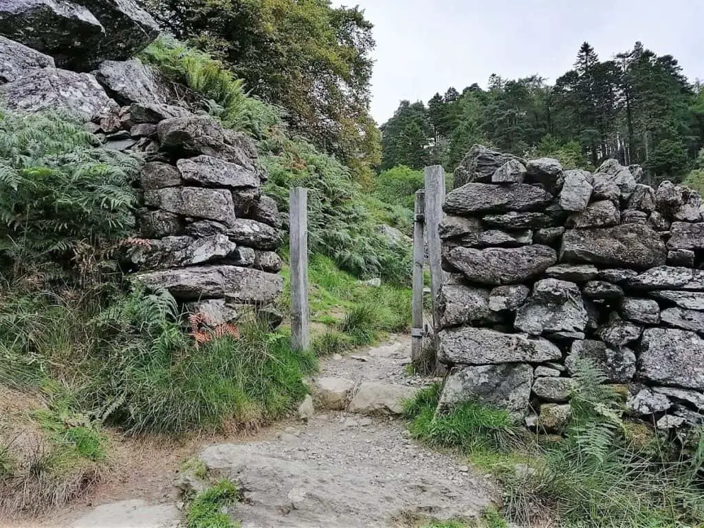
After approximately 30 minutes, you will pass through a gate in a dry stone wall. This signifies the end of the woodland section of the walk up Cadair Idris.
Cadair Idris Walk – Open Mountain Section
Now that the verdant oak canopy has receded, you are afforded your first glimpse of the beautiful valley that you have left some distance below. The path is now flanked by an abundance of ferns that cling to the surrounding landscape like a thick green rug.
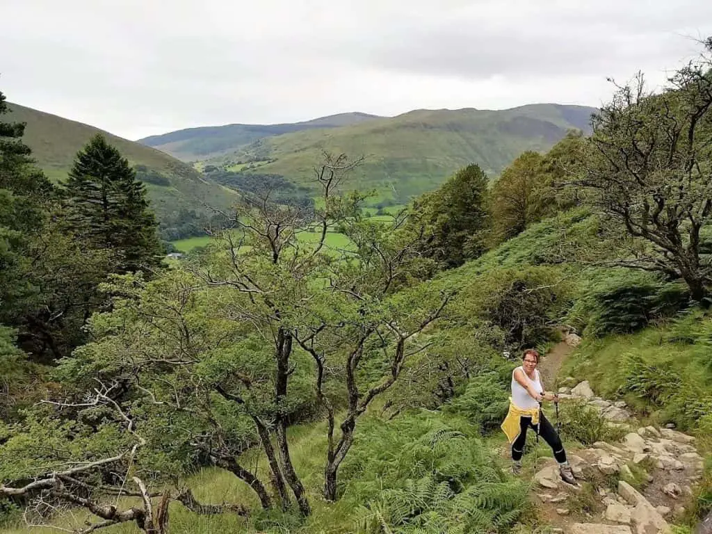
As you leave the Celtic Rainforest behind you, the Minffordd Path begins to flatten out which is certainly welcome relief following the initial lung-busting climb. The path soon splits and a wooden post indicates the left fork to Cwm Cau and the right to Mynydd Moel.
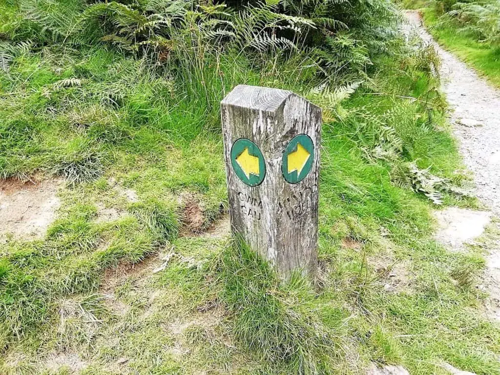
As this is a circular route walk, it is entirely up to you whether you approach the Cadair Idris walk in a clockwise or anti-clockwise direction. We opted for the clockwise route. These are just two of the climbing routes up Cadair Idris, I will mention the other Cadair Idris routes available to you a little later on.
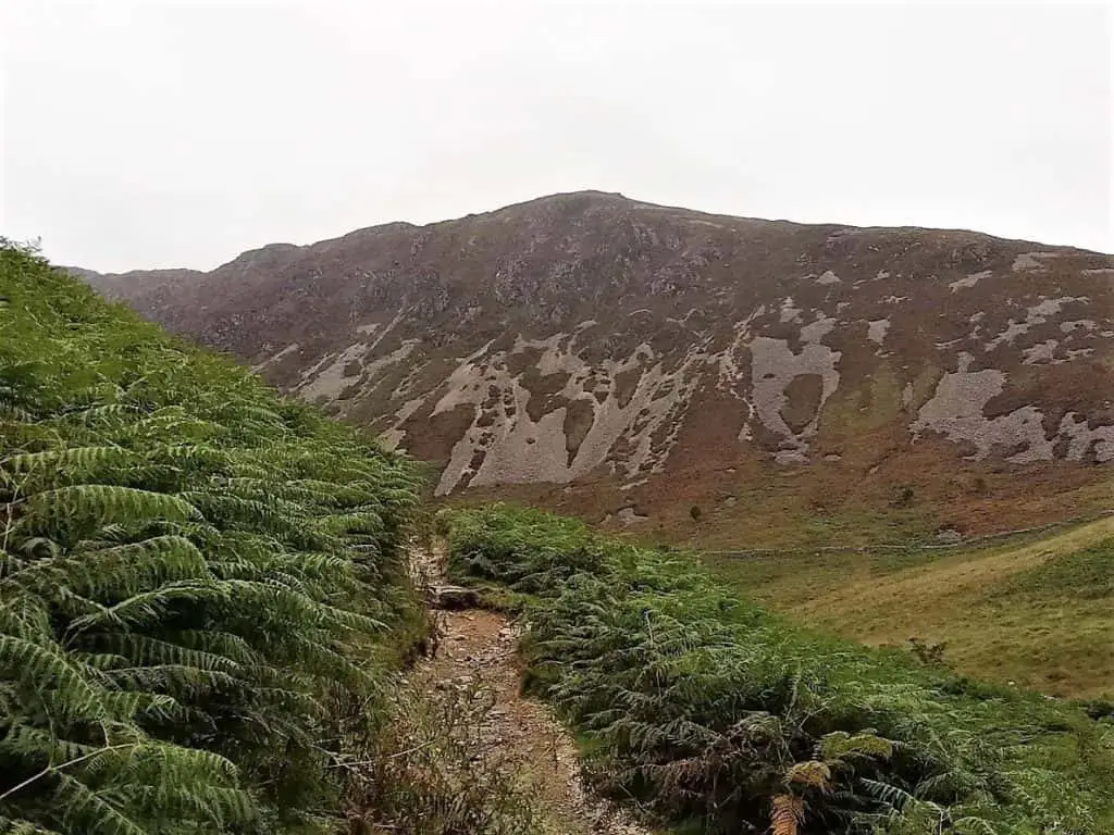
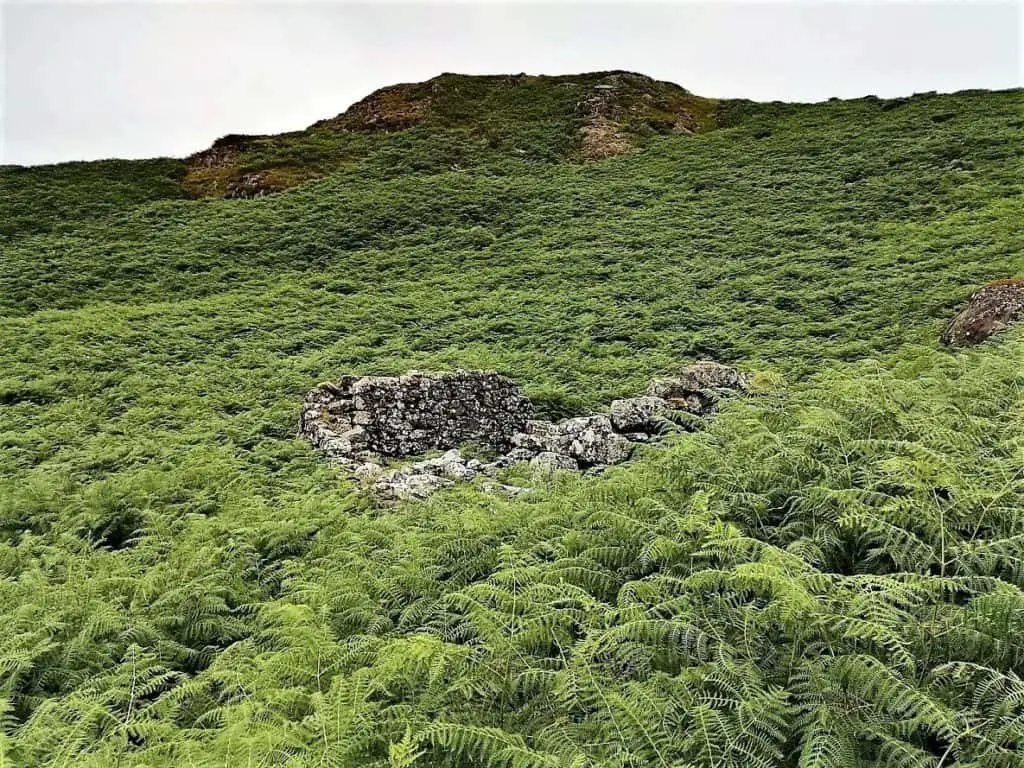
The steep southern slopes of Mynydd Moel now appear directly ahead of you, the summit of which reaches 863 m (2,831 ft). The next point of interest is the derelict stone building that you will see just off to the left of the path. These are the remains of an old hafod (farmstead) where a family would live during the summer months to tend to their livestock.
The Approach to Cwm Cau
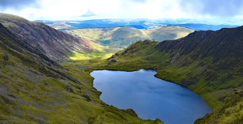
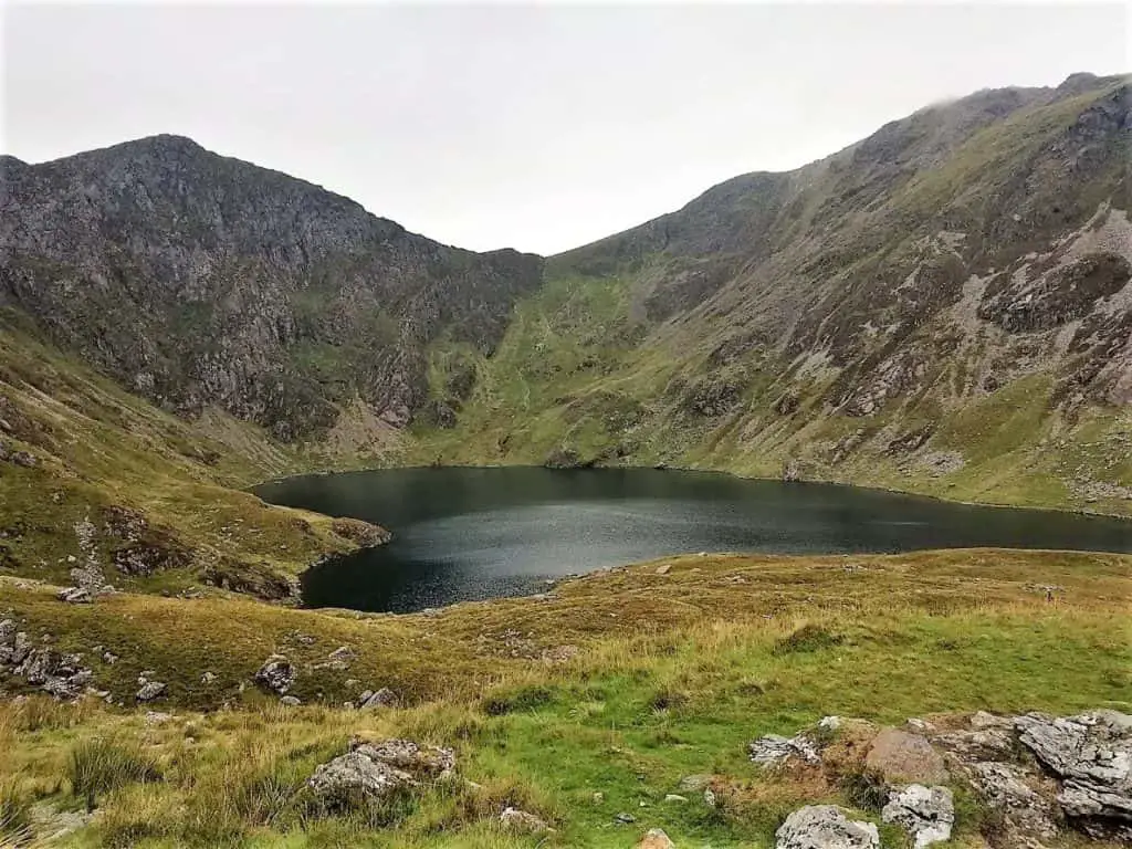
As the Minffordd Path meanders its way up through the glacial valley towards Cwm Cau, the imposing sheer cliffs of Craig Cau come into sight. The peak sits approximately 300 metres (1000 feet) above Llyn Cau, the lake that is located directly below and to the east of these cliffs.
What is Cwm Cau?
Cwm Cau is what is known as a cirque or corrie. These are heads of glacial valleys that have been shaped into amphitheatre-like bowls, with deep hollows at their base. They are formed by the erosion caused by the motion of glacial ice. Llyn Cau is the lake that formed in this hollow.
During this section of the Cadair Idris walk, the path is initially well defined but becomes a little more difficult to follow as you continue. You should also see boulders of varying sizes dotted off to the sides of the path. These were once moved along within the glacier and were then dumped when the ice melted.
Before long, you will reach a fork in the path. Continue straight if you fancy seeing Llyn Cau up close. To climb Cadair Idris, you will need to take the left fork.
The Climb to the top of Craig Cau
Soon after taking the left fork, the path steepens considerably. It is now that you are commencing the climb of the steep cliffs that wrap around Llyn Cau like a horseshoe.
As you climb the southerly cliffs of Cwm Cau, you now get to enjoy the views over Llyn Cau with the dramatic westerly and northern cliffs as a backdrop. If you are anything like us, you will want to be stopping every couple of minutes to marvel in the evermore impressive views.
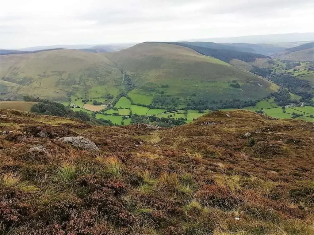
Following the short but steep climb, the track’s gradient becomes a little gentler as you make your way along the southern ridge of Cwm Cau. Far reaching views now open up to your left and you should be able to catch a glimpse of Llyn Mwyngil lake in the valley below.
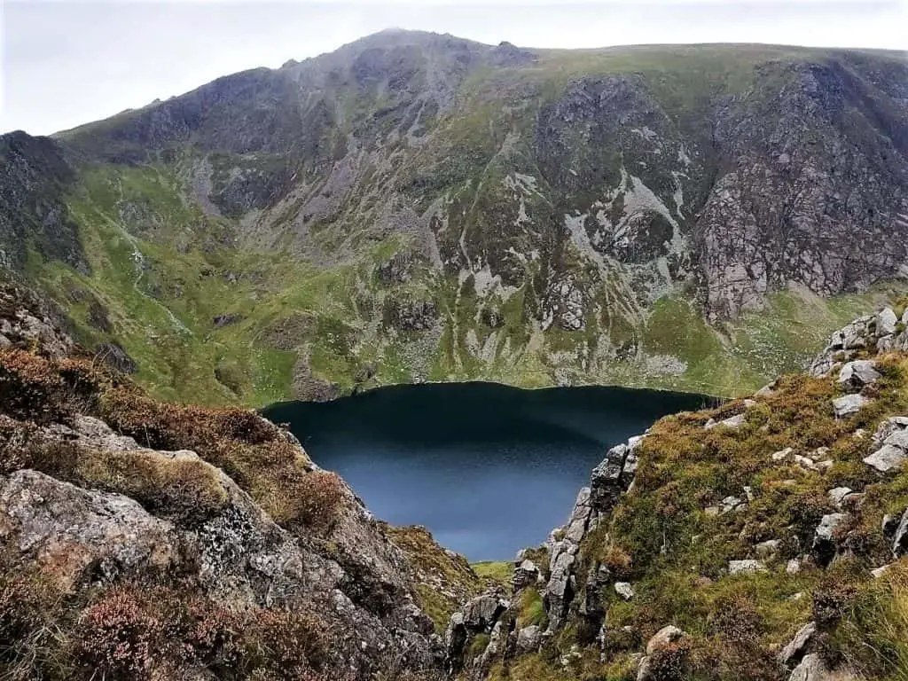
Right before the Cadair Idris walk takes you on to the western ridge of Cwm Cau, you will see the long, rounded ridge of Mynydd Pencoed ahead of you. Here the path steepens once more as you climb towards Craig Cau. There is no discernible path during this section, just a number of stone cairns to help keep you on the right track.
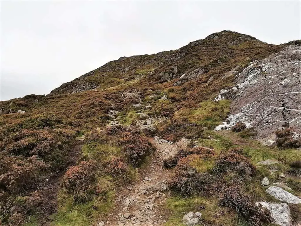
Be very careful…
Climbing to the top of Craig Cau is steep and rocky and with no clear path, it is easy to venture too close to the cliffs that sit just metres to your right. With snow and ice on the ground, this part of the walk will be even more dangerous!
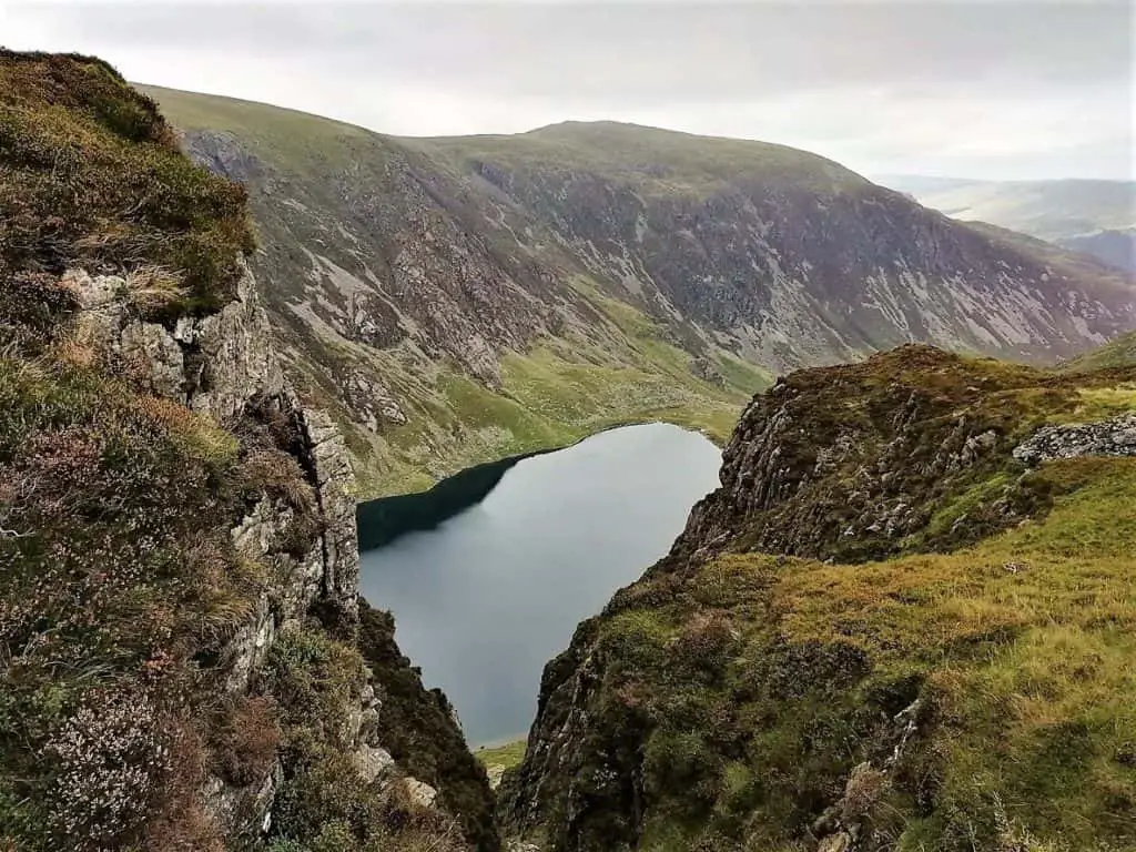
The approach to Craig Cau is dramatic to say the least and you will catch some incredible views of Llyn Cau far below, through steep gullies.
Penygader – The Summit of Cadair Idris
Once you reach the top of Craig Cau, you may wish to take a break to catch your breath and just take in the impressive vistas in every direction.
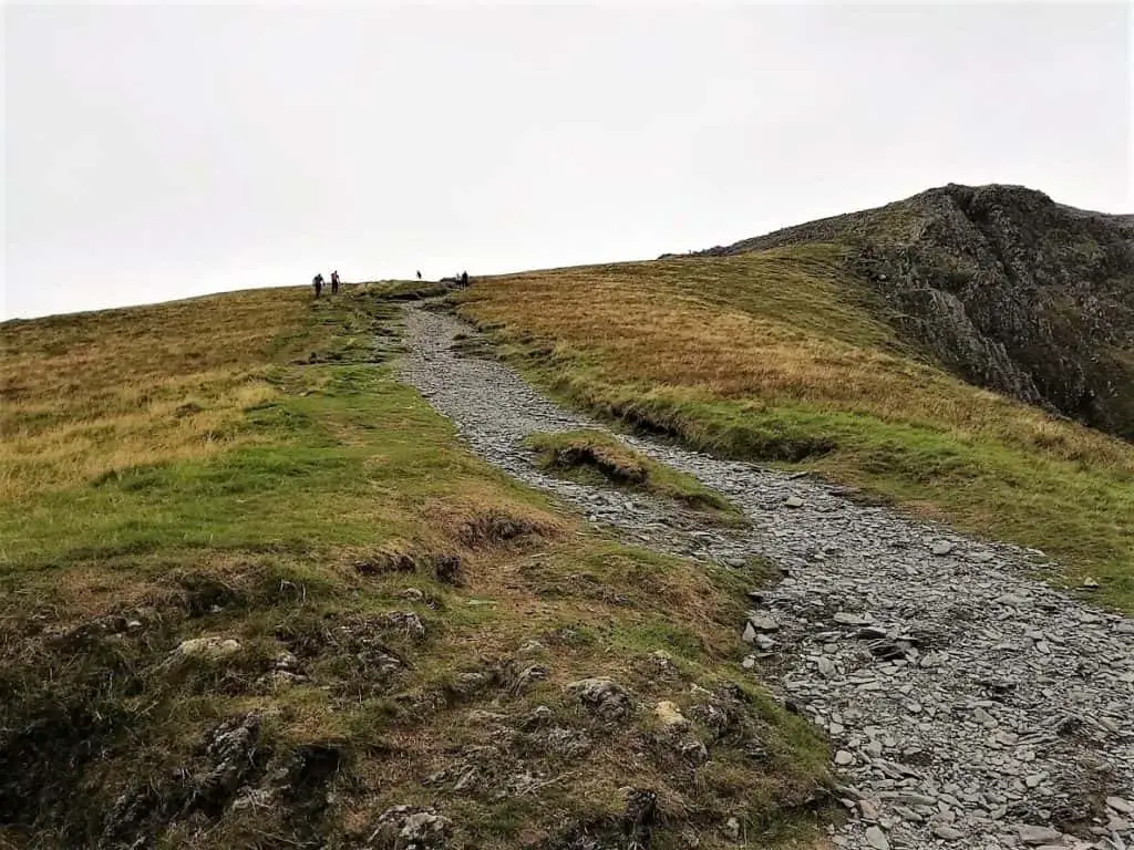
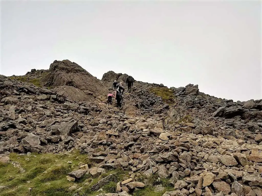
From this point, the Cadair Idris walk route drops into a cliff edge valley, before steepening sharply towards Penygader, the summit of Cadair Idris. This final section on the approach to the top is slippery and extremely rocky.
At the summit, you now get to enjoy the views down the steep valley to the north as well. Here you will see the corrie lake of Llyn y Gadair, nestling far beneath the summit of Cadair Idris.

What can you see from the summit of Cadair Idris?
If you are lucky enough to be blessed with decent summit weather, you will easily see the River Mawddach (Afon Mawddach) out to the north west as well as the west Wales coast and Cardigan Bay to the west.
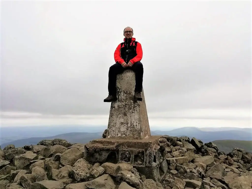
If you are climbing Cadair Idris in particularly inclement weather, you may wish to grab a little respite from the conditions by entering the stone built Cadair Idris summit shelter, that is located just north of the summit trig point.
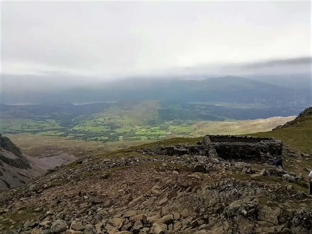
Cadair Idris Walk – The Descent
The next part of the walk takes you east along the ridge towards the rounded peak of Mynydd Moel that sits little more than a mile away (1.6 km). Approximately halfway along the ridge, the path splits.
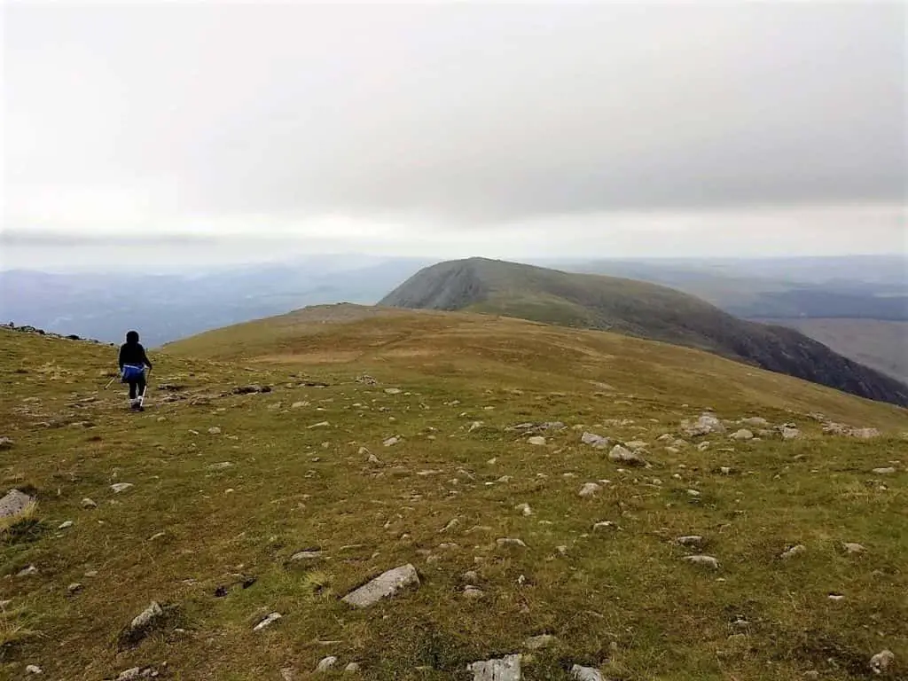
Here you can either continue on the ridge path to Mynydd Moel or take the right fork (as we did). This path drops down the ridge, below the original path and clings to the southern cliffs of Mynydd Moel. This option effectively cuts the corner as the path meanders its way towards the glacial valley’s eastern ridge.
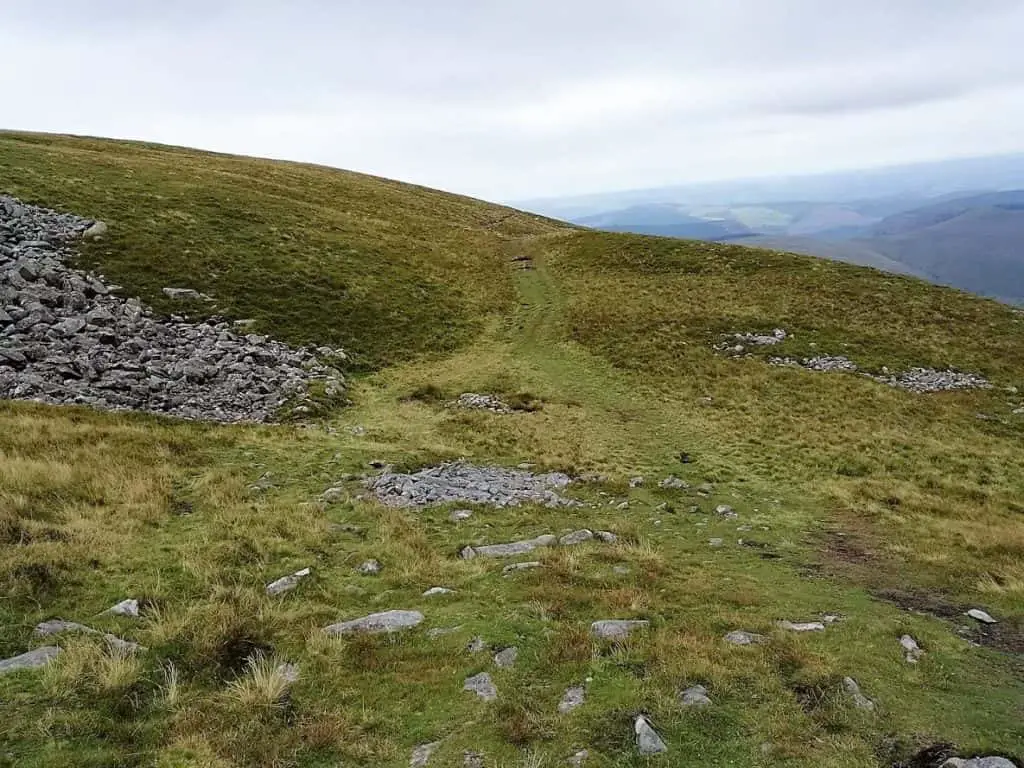
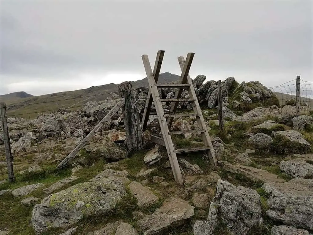
Eventually, you will reach a wire fence with two small wooden sets of steps allowing you to cross. Once over, turn right and begin the steep and treacherous descent along the line of the fence.
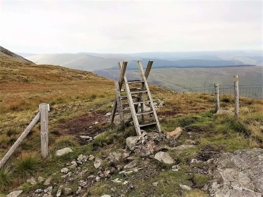
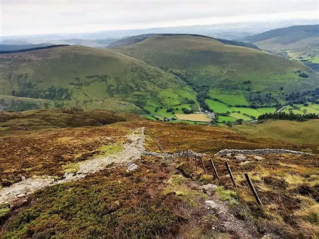
Along this section, there is certainly no smooth path underfoot. Instead, it is uneven, rocky and slippery. We both managed to slip on a number of occasions but by some miracle, we avoided falling!
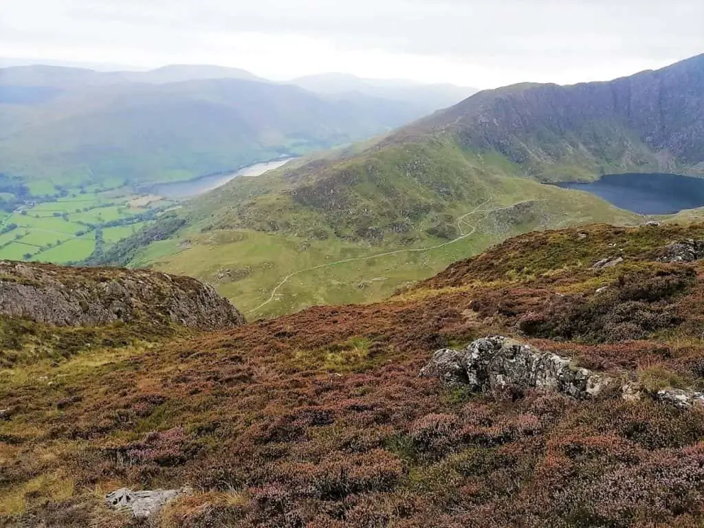
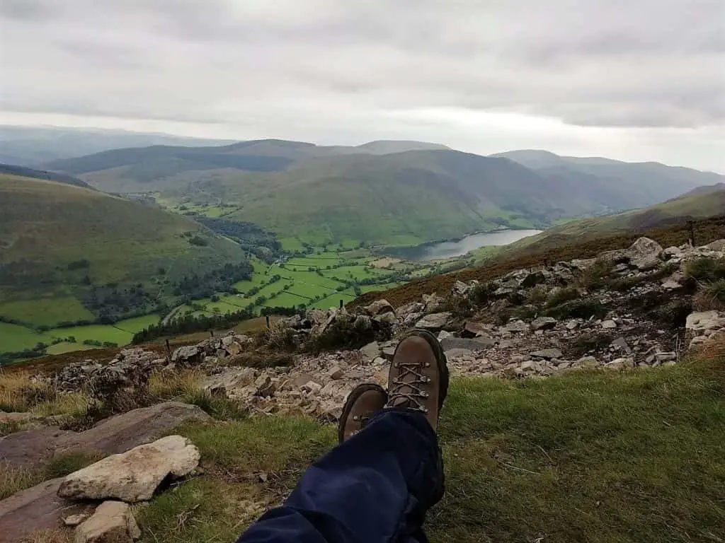
As you descend towards the valley, you should now catch a far better view down the Tal-y-Llyn valley with Llyn Mwyngil Lake off to the south-west. We took a short break to enjoy these views and marvel in the contrast between the lush fertile valley and the barren jagged peaks of Cadair Idris.
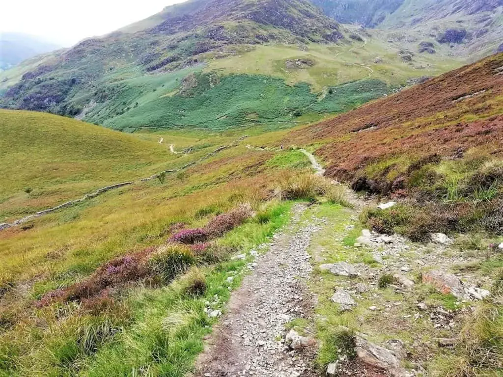
Progressing downwards, you will soon see another set of steps allowing you to cross over the fence on your right. Once over, you will be happy to see a far smoother and gentler path ahead.
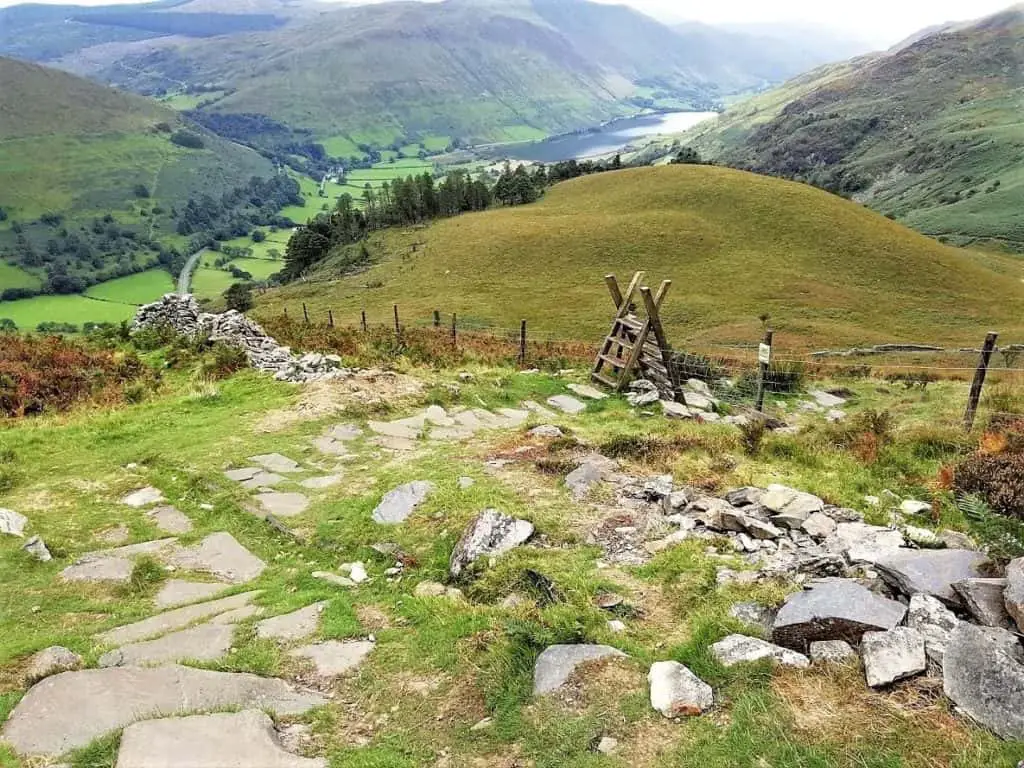
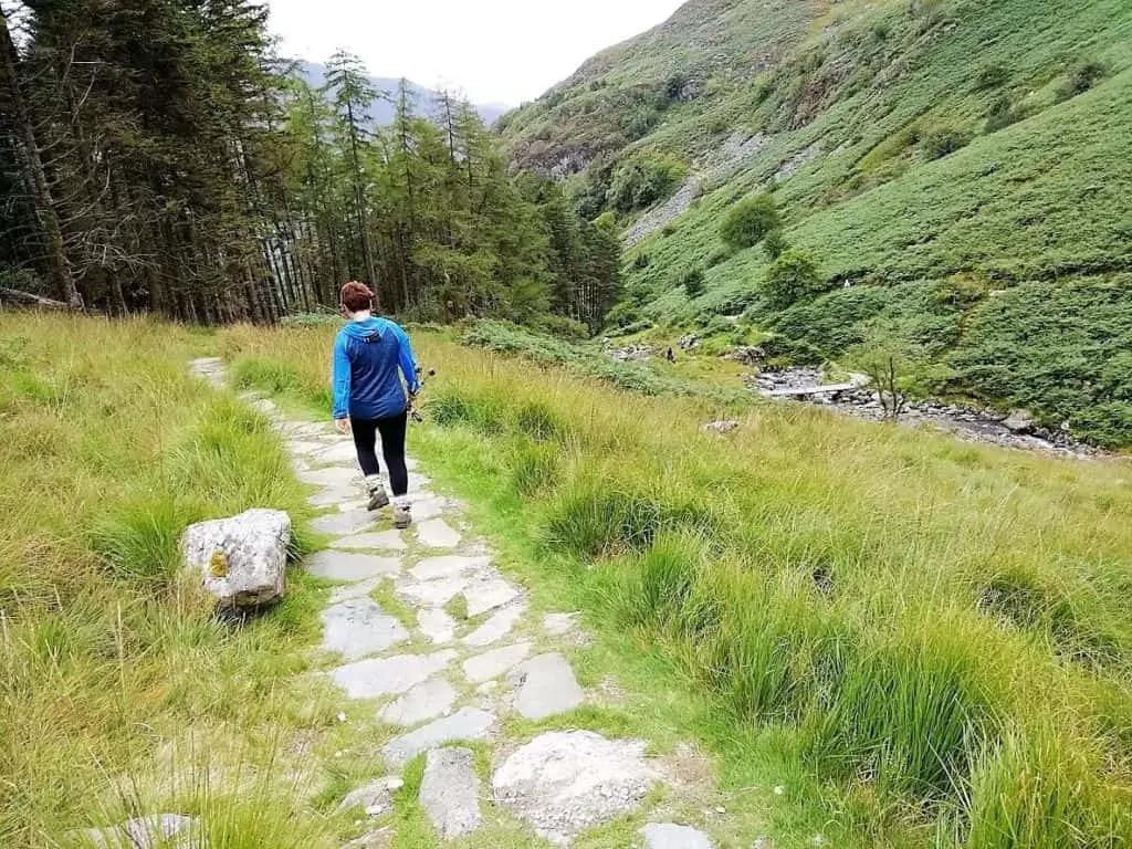
Within 10-15 minutes, you will rejoin the path that you were on at the beginning of the walk (just at the top of the Celtic Rainforest). Within 45 minutes to 1 hour you will be back at the car park.
Your Cadair Idris walk is complete!
Cadair Idris Walk – Q&As, Facts and Information
How long does it take to walk up Cadair Idris?
We took 6 hours to complete the Cadair Idris walk via the Minffordd Path (up and back). This included a 30-minute break at the summit and a couple of short breaks either side of this.
How long is the Minffordd Path?
It is approximately 6 miles (10 km) to climb Cadair Idris via the Minffordd Path (up and down).
How difficult is the Cadair Idris walk?
Quite clearly, this answer will vary depending on who you are asking and which route you select. We consider the Cadair Idris walk difficulty (Minffordd Path) to be somewhere in the moderate range. There are some very steep sections but also plenty of nice gentle parts too.
How many Cadair Idris climbing routes are there?
There are four main paths up Cadair Idris. Two of these approach the mountain from the north and two from the south. From the north side you have the Foxes Path and Pony Path and from the south, there is the Minffordd Path and Llanfihangel y Pennant Path.
What is the best path up Cadair Idris?
We have only enjoyed the Cadair Idris walk via the Minffordd Path, so we can not really comment on the other routes from a personal standpoint. However, before choosing the Minffordd Path for our day’s adventure, we spent a good couple of hours researching the opinions of others online. The large majority of climbers suggested that the Minffordd Path is the best path up Cadair Idris.
Welsh Three Peaks Challenge
Cadair Idris is one of the three Welsh peaks that make up the Welsh Three Peaks Challenge. The two peaks that complete this challenge are Snowdon to the north and Pen-y-Fan to the south. If you want to find out more including how to get involved, visit the Welsh Three Peaks Challenge.
Cadair Idris Walk – Our Thoughts
Hiking Cadair Idris was always something that I knew I would get around to doing at some point. As it happened, a wonderful birthday surprise meant that the experience came far sooner than I thought.
The Minffordd Path really did offer everything in our book. There was the steep gorge climb through the Celtic Rainforest with picturesque waterfalls. This was followed by the towering cliffs and the glacial lake at Cwm Cau. And then the tough horseshoe ridge climb to the summit of Cadair Idris, with the incredible views whichever way you choose to glance.
In our opinion, the Cadair Idris walk was far superior to that of climbing Mount Snowdon. This was of course helped by far fewer people attempting the climb.
If you do happen to find yourself in southern Snowdonia, you absolutely must head up Cadair Idris!
Have you enjoyed one of the Cadair Idris walks before? We would certainly love to hear about your experience. Please share in the comment box below…
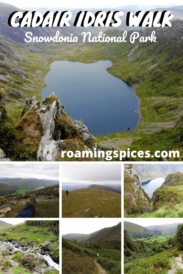
Like Our Article? Please Pin it!

Cae Coch Farm..
We are off up this mountain tomorrow. I enjoyed reading your journal and tips for Cafair Idris ..thank you 😊🎄🎁
Hi Diana, I am glad that you enjoyed reading our post detailing our experience and tips for climbing Cadair Idris. I hope that you enjoyed your climb as much as we did and that the weather stayed pleasant for you. Please share your experience with us. Best wishes, Gavin
Cae Coch Farm
My partner in crime for this wonderful walk is Andy…we followed your route exactly. Unfortunately we ran out of light due to not starting the walk from the car park until 11am. We had a fabulous walk. Dusk was at 4pm so we came down the route in the dark which was very interesting and challenging with one head torch between us lol. Note to self ‘pack extra head torches next time’ !. When we were at the summit we saw an amazing cloud formation like a great waterfall of cloud …stunningly beautiful.. We also saw a rainbow prism of light with our silhouette in it which i think is quite rare too…all in all a fantastic day on a big mountain walk…thankyou for your tips they were accurate and true 😊
Hi Diana, thanks for coming back to give us an update on your Cadair Idris experience. It would appear that you enjoyed it as much as we did! Making the descent in full daylight was treacherous enough so I can only imagine how difficult it would have been in fading light! Just glad that you made it down in one piece. Best wishes and happy hiking, Gavin