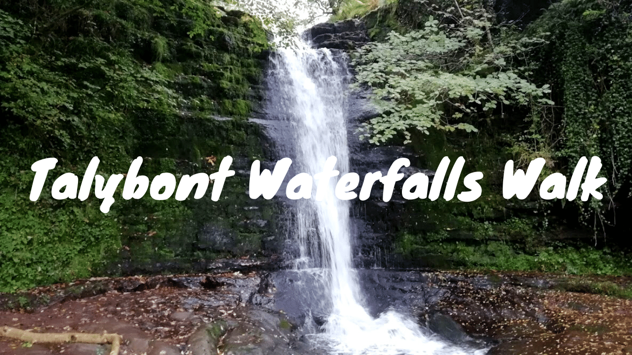
Talybont Waterfalls Walk
Hiking Trail Review: https://roamingspices.com/talybont-waterfalls-walk/ Music: www.bensound.com Talybont Waterfalls Walk - Introduction When we discovered the Talybont Waterfalls walk online, we instantly liked the description of this walking trail and the variety it appeared to offer. The hike was a good length, over 4 miles (7 km) and was clearly going to be a reasonable challenge with steep sections, especially at the start. Talybont Waterfalls Directions Although the Talybont Waterfalls are located right in the heart of the Brecon Beacons National Park, they are easily accessible by road. The waterfalls are situated a mere 8 miles (13 km) from the A470, the main route connecting north and south Wales. The Talybont Waterfalls car park that we choose for the starting point for our hike was the Blaen y Glyn Uchaf car park. Talybont Waterfalls Walk - Step by Step Guide Head back to the car park entrance, cross the cattle grid and immediately on your right-hand side you will see a path leading up the hill, alongside a wooden fence. This is the starting point for the Talybont Waterfalls walk. The initial section of the walk takes you along the bank of Nant Bwrefwr. During this stage, you will see a number of picturesque waterfalls of varying sizes as you make your way up this green and leafy river valley. A little further along, the trail parts company with the river as it veers slightly to the right and up the steepening mountain ridge. Looking up, you will now see the obvious peak ahead of you. Follow the path which becomes steeper as you progress until you reach the top. Talybont Waterfalls Walk - Following the ridge of the glacial valley Now that the challenging climb is complete, the next stage of the walk literally hugs the western ridge of this glacial valley. In approximately 20-25 minutes the track will take you across a small stream. This is the Blaen Caerfanell river that rises on the Gwaun Cerrig Llwydion plateau which is the area out to your left at this point. This river drops down into the valley where further down it meets the Blaen y Glyn river; At this point, it becomes the Caerfanell. You will be walking along the banks of this river a little later on the Talybont Waterfalls walk. Continue along the path until it reaches the head of the valley when the trail tracks to the right. As you follow the track in an easterly direction, you now get the chance to enjoy the sweeping views right down the full length of the valley. Descending into the Valley The next stage of the Talybont Waterfalls walk takes you down into the glacial valley. There are plenty of options to get down there. It is really up to you which one suits you best. Head back just a short distance along the path on which you arrived and look to your left. You will see a tributary leading down to the valley below. Although there is no discernible path to follow at this point, simply follow this tributary until it intercepts the Blaen y Glyn river which runs south from the head of the valley. It is now really just a case of making your way down along the banks of the Blaen y Glyn river. There is no obvious path at this stage so you will be walking on thick tufty grass which is boggy in places and can make progress a little awkward at times! Further down the valley, the Blaen Caerfanell river joins the Blaen y Glyn river from your right. It is at this point where the Caerfanell river is born. You should now also see woodland up ahead, off to the right of the river. Prior to reaching the woods, ensure that you cross to the left-hand side of the river as the path from that point only exists along the river's left-hand bank. Now for the Waterfalls As the river reaches the woodland, you will cross a wooden stile and then the valley drops away giving rise to a series of small but picturesque waterfalls. This means that the waterfalls are either easily viewable directly from the path or via a short excursion taking no more than a minute or two. The path is narrow, uneven and can be very muddy in places. Eventually, you will reach a wooden footbridge which you will need to cross. Once on the opposite bank, head upstream a short distance to view the highest of the waterfalls along this stretch of river. Pass through the metal kissing gates and you are now on the final stretch of the Talybont Waterfalls walk. A short distance into the woodland you will see a stream and cascading waterfalls coming down the hillside from your right. Head up the rough path on your right keeping the stream/waterfalls on your left-hand side. Following the steepish climb, the path then heads through long undergrowth where the path can be difficult to spot at times. Soon after, you will head back into woodland where the trail becomes clear once more. At the head of the woodland follow the path around to the right and in no time you will find yourself back at the car park from where you started.